A mineral target is rarely identified by one anomaly alone. A magnetic high may indicate magnetite-rich alteration, mafic lithology, buried structure, or cultural interference. A conductivity response may reflect sulfides, saline groundwater, graphite, or clay-rich cover. The best sensors for mineral targeting are therefore the sensors that reduce this ambiguity in the context of the deposit model, depth of investigation, terrain, and next decision point.
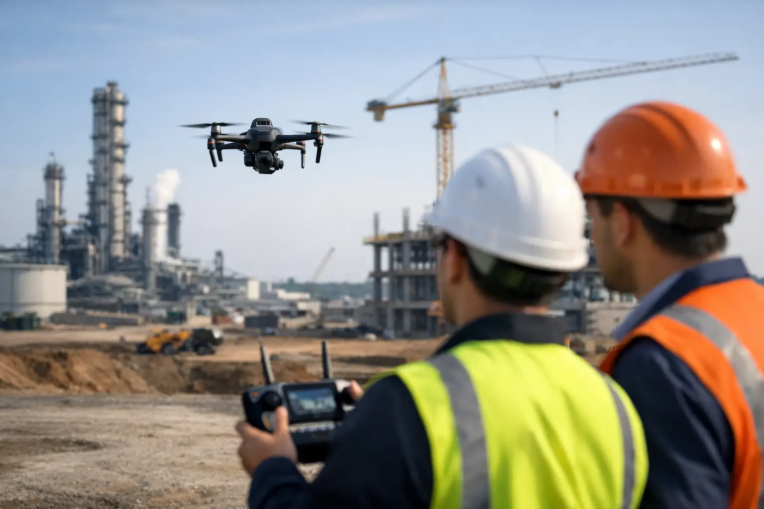
For exploration managers, the objective is not to collect the largest possible volume of geophysical data. It is to acquire calibrated, cross-validated evidence that ranks targets, constrains geology beneath cover, and directs drilling toward the most defensible locations. Drone-based acquisition is particularly effective where access is constrained, survey lines must follow rugged relief, or a rapid campaign is required before mobilizing ground crews and drill rigs.
The Best Sensors for Mineral Targeting Depend on the Target Model
Sensor selection should begin with the anticipated physical expression of the mineral system. Magnetic surveys respond to contrasts in magnetic susceptibility and remanence. Electromagnetic methods measure electrical conductivity. Radiometric systems map near-surface potassium, uranium, and thorium signatures. Hyperspectral imaging detects diagnostic surface mineral assemblages, while LiDAR and photogrammetry establish the terrain and structural framework that make all other data interpretable.
No modality is universally superior. A concealed sulfide system may justify a magnetic and electromagnetic program, while a lithium-bearing pegmatite campaign may benefit more from high-resolution imagery, hyperspectral mineral mapping, radiometrics, and structural interpretation. The operating question is specific: which measurements can discriminate between prospective geology and non-economic lookalikes?
Aeromagnetic Sensors for Structure and Lithology
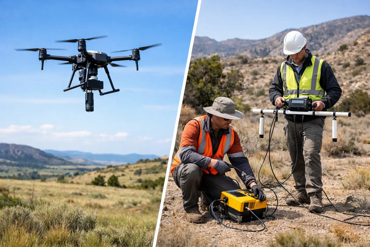
High-resolution aeromagnetic surveying remains one of the most productive tools for regional-to-prospect-scale mineral targeting. Drone-mounted magnetometers can resolve faults, shear zones, intrusive contacts, dyke swarms, basement architecture, and alteration-related magnetic destruction or enhancement. These features commonly control fluid pathways and ore deposition, particularly across areas concealed by alluvium, sand, or weathered regolith.
Magnetics are strongest when the exploration model includes magnetic host rocks, magnetite alteration, iron oxide systems, mafic-ultramafic units, or structural controls that can be mapped through susceptibility contrast. It is also a cost-effective first-pass method for rapidly organizing a large terrain block into geological domains.
The trade-off is interpretive non-uniqueness. Magnetic intensity does not directly measure mineral grade or sulfide content. Flight elevation, terrain clearance, diurnal variation, heading error, sensor compensation, base-station control, and tie-line design all affect the result. A decision-grade survey requires a documented QA/QC workflow, corrected data, and derivatives interpreted against mapped geology rather than an anomaly map viewed in isolation.
Electromagnetic Sensors for Conductive Targets
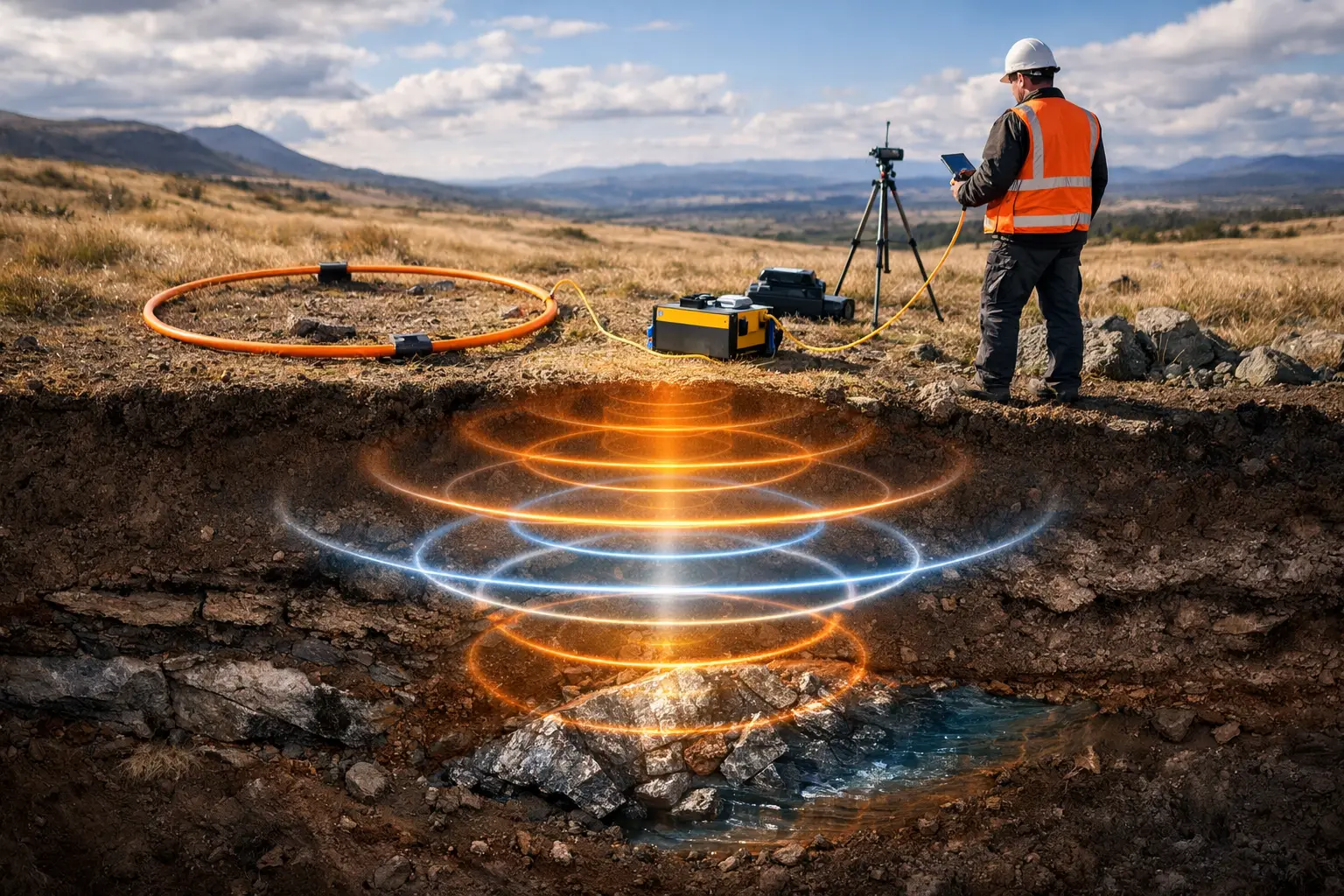
Electromagnetic, or EM, sensors are the primary choice where the deposit model predicts conductive mineralization. They can help delineate massive sulfides, graphitic conductors associated with structural corridors, conductive alteration zones, and certain groundwater or clay systems that influence exploration access and interpretation.
For base-metal programs, EM can materially improve drill targeting when conductors are evaluated alongside magnetics and geological constraints. A conductor that sits on a favorable contact, aligns with a fault corridor, and corresponds to alteration evidence carries a different priority than an isolated response in conductive overburden.
EM performance depends heavily on target conductance, geometry, depth, host-rock conductivity, and the selected system frequency or waveform. In arid regions, dry resistive cover can enhance contrast in some settings. In others, conductive clays, saline groundwater, or infrastructure can generate misleading responses. Survey design must account for line orientation relative to expected strike, terrain effects, altitude consistency, and the depth range needed to influence drilling.
Radiometric Sensors for Surface Geology and Alteration
Radiometric surveys measure naturally occurring gamma radiation from potassium, uranium, and thorium in the uppermost surface layer. They are valuable for lithological discrimination, regolith mapping, alteration studies, and identifying potassium enrichment associated with some hydrothermal systems.
Radiometrics are most useful where bedrock exposure is sufficient and the surface signal has not been obscured by deep transported cover. They do not see through substantial overburden, and they should not be positioned as a direct detector of buried ore. Their real value is in improving geological maps, identifying alteration footprints, and supplying a high-resolution surface layer for multi-sensor interpretation.
Careful calibration, altitude control, background correction, and environmental monitoring are required. In practical terms, radiometric data becomes more valuable when it is integrated with terrain products, field observations, and magnetic domains rather than delivered as standalone concentration grids.
Hyperspectral, LiDAR, and Photogrammetry Add Geological Context
A geophysical anomaly without geological context is an incomplete target. Hyperspectral imaging provides surface mineralogical information by measuring reflected energy across narrow spectral bands. It can identify or map minerals associated with alteration, including iron oxides, clays, carbonates, and hydroxyl-bearing minerals, subject to spectral resolution, atmospheric conditions, surface exposure, and mineral detectability.
Hyperspectral systems are especially effective for mapping alteration halos and prioritizing exposed terrain before detailed ground work. Their limitation is direct: they characterize the surface. Vegetation, dust, weathering, mixed pixels, shadow, and cover can reduce confidence. For buried targets, hyperspectral data should support the geological model, not substitute for subsurface geophysics.
LiDAR creates precise elevation models and can reveal subtle scarps, drainage patterns, lineaments, historic workings, and structural geomorphology. Photogrammetry provides high-resolution orthomosaics and three-dimensional surface models that support mapping, access planning, and field verification. Neither is a direct mineral detector, but both improve flight safety, line planning, georeferencing, and the structural interpretation that determines whether an anomaly is geologically credible.
Ground-Penetrating Radar Has a Narrow but Useful Role
Ground-penetrating radar, or GPR, is not a replacement for airborne magnetic or EM systems in broad mineral exploration. Its penetration is generally limited by conductive ground conditions, and its best application is shallow, high-resolution investigation. It can support near-surface mapping of voids, weathered zones, shallow contacts, mine features, and localized infrastructure constraints.
Where the exploration question concerns the upper few meters in dry, resistive ground, GPR can be highly informative. Where targets are deeper or the ground is conductive, it is usually the wrong primary tool.
Build a Sensor Stack Around the Drill Decision
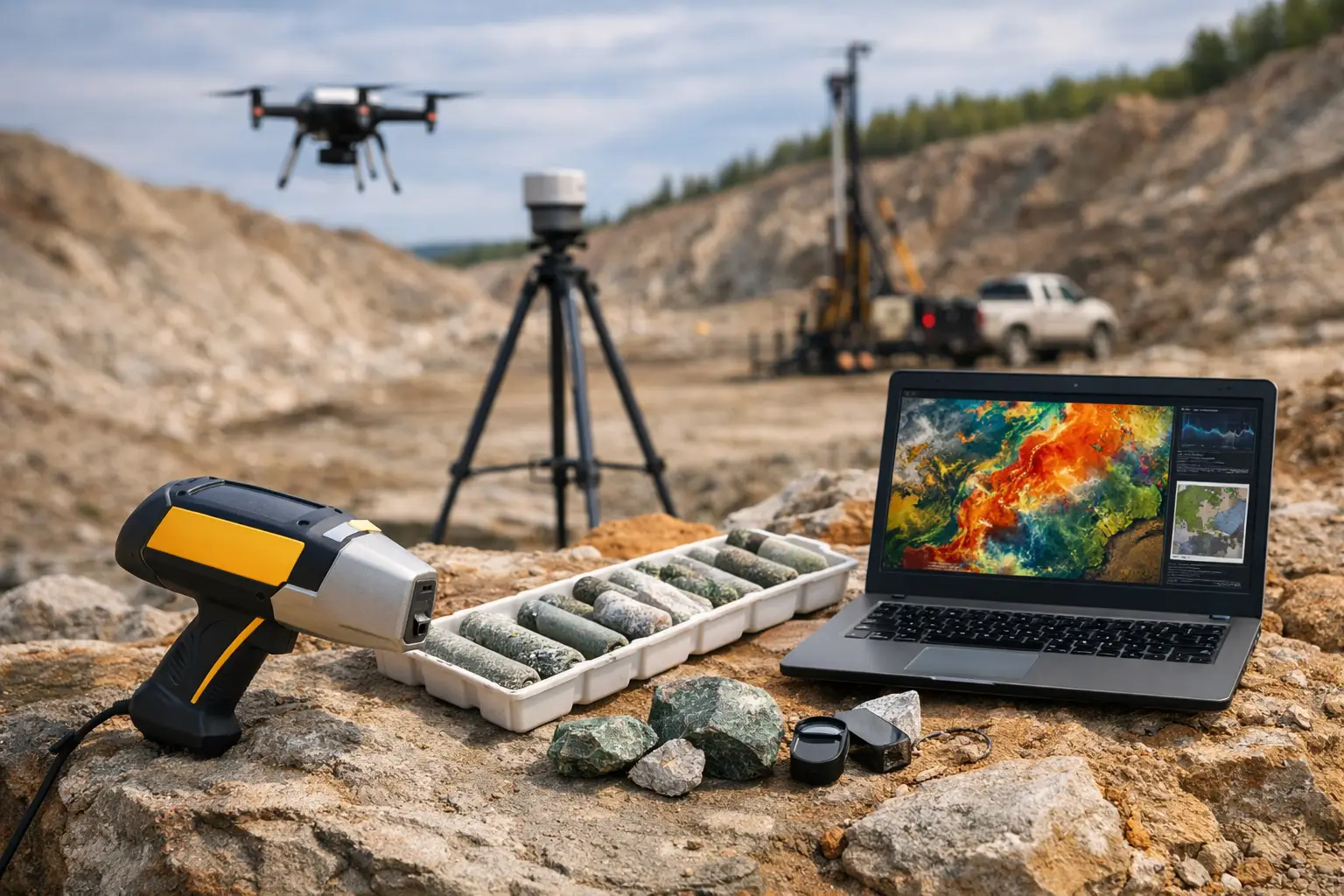
The highest-value mineral targeting programs combine complementary measurements in a staged sequence. A practical campaign may begin with LiDAR or photogrammetry for terrain control, followed by magnetics to establish structure and lithological domains. EM can then test priority corridors for conductive responses, while radiometrics and hyperspectral data refine surface geology and alteration patterns.
This approach reduces the common failure mode of drilling every anomaly of a single type. Instead, targets are ranked using coincident evidence: favorable structure, appropriate host geology, alteration expression, geophysical contrast, and a response geometry consistent with the deposit model. The final deliverable should be an interpreted target portfolio with confidence levels, depth and geometry assumptions, data limitations, and recommended verification steps.
Sensor fusion must be controlled rather than cosmetic. Data layers require consistent coordinate systems, terrain correction, calibration records, sensor-specific error review, and transparent interpretation logic. A visually compelling composite map is not sufficient if its inputs were collected at incompatible resolutions or processed without traceable QA/QC.
Operational Factors That Change the Sensor Choice
Platform capability and field conditions influence what can be measured reliably. Payload weight affects endurance and line spacing. Magnetic surveys require low-noise platform integration and careful compensation. EM systems involve different power, altitude, and survey-speed constraints. Radiometric acquisition depends on low, consistent terrain clearance and adequate count statistics. Hyperspectral surveys require suitable illumination and atmospheric correction.
Desert operations add further considerations: heat loading, dust, terrain clearance, remote logistics, and limited access for ground control. These are not secondary planning details. They determine whether a survey produces repeatable data or an attractive dataset that cannot withstand technical review.
Air Solutions approaches mineral targeting as an interpreted geoscience service rather than a sensor rental exercise. The appropriate sensor suite is selected against the deposit hypothesis and operational constraints, then acquired under controlled procedures and delivered as auditable intelligence for exploration and investment decisions.
The next productive question is not, “Which sensor is best?” It is, “What combination of measurements can most efficiently eliminate the wrong drill targets?” That standard keeps acquisition focused, protects exploration capital, and moves the program from anomalies to evidence.