Water
Resources.
Aquifer delineation, recharge zone mapping, and groundwater targeting for national water security programs — built on airborne EM, magnetic, and gravity workflows tuned to KSA's deep-basin hydrogeology.
Water security as a national strategic priority.
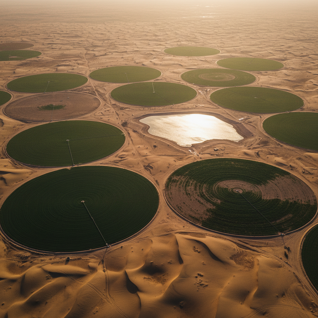
Saudi Arabia is one of the most water-stressed countries on Earth. Sustainable groundwater management — across municipal supply, agricultural irrigation, and industrial demand — depends on accurate sub-surface characterisation that conventional ground survey can't deliver at programme scale.
Airborne EM is the workhorse method for aquifer mapping at scale — imaging conductivity to 400 m depth and resolving the contrast between freshwater zones, brackish/saline boundaries, and confining layers.
We combine EM with magnetic and gravity datasets to add structural context — fault networks that control recharge and connectivity — and deliver ranked drill-site recommendations with predicted water quality and confidence bands.
What we solve.
Dry-well risk
EM imaging dramatically reduces blind-drilling risk across arid basins.
Salinity mapping
Conductivity contrasts separate freshwater zones from brackish/saline.
Aquifer structure
Magnetic + gravity define fault networks that control recharge.
Deep palaeo-aquifers
TDEM systems image conductivity contrasts at 200-400 m depth.
Sustainable abstraction
Aquifer thickness + recharge mapping inform long-term yield estimates.
Cross-agency reporting
Audit-traceable outputs aligned to MEWA + national water-strategy frameworks.
Capabilities for this sector.
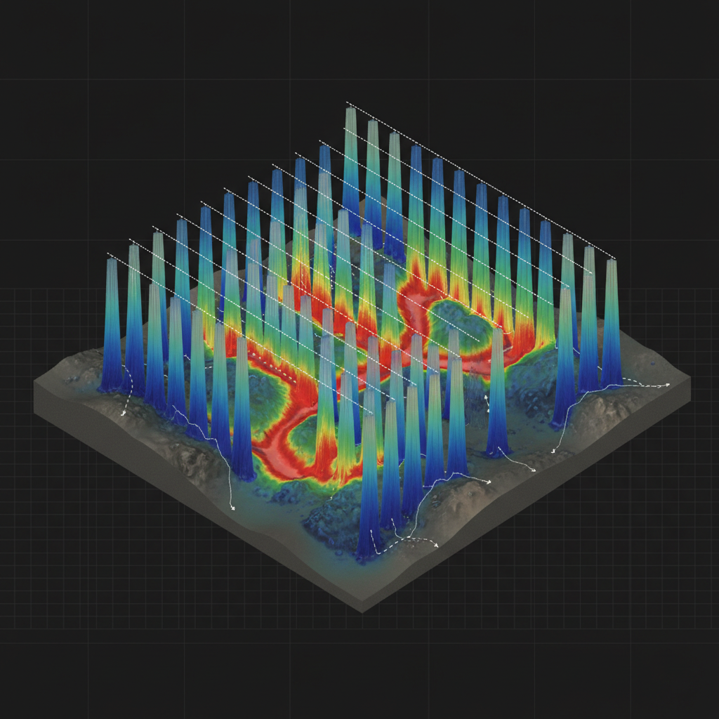
Drill-site recommendation
Stitched 3D conductivity volume revealing a productive freshwater aquifer between resistive basement and conductive overburden — basis for ranked drill targets.
Target your aquifer.
Send us your AOI and existing well data. We respond with survey design, drill-target framework, and timeline within 48 hours.