Intelligence
from Above.
Air Solutions deploys precision geospatial intelligence — aeromagnetic surveys, hyperspectral imaging, LiDAR, and multi-sensor data fusion — for mining exploration, groundwater discovery, oil & gas prospecting, and Vision 2030 megaprojects across the Kingdom.
Deliberately engineered to
turn raw airspace into auditable intelligence.
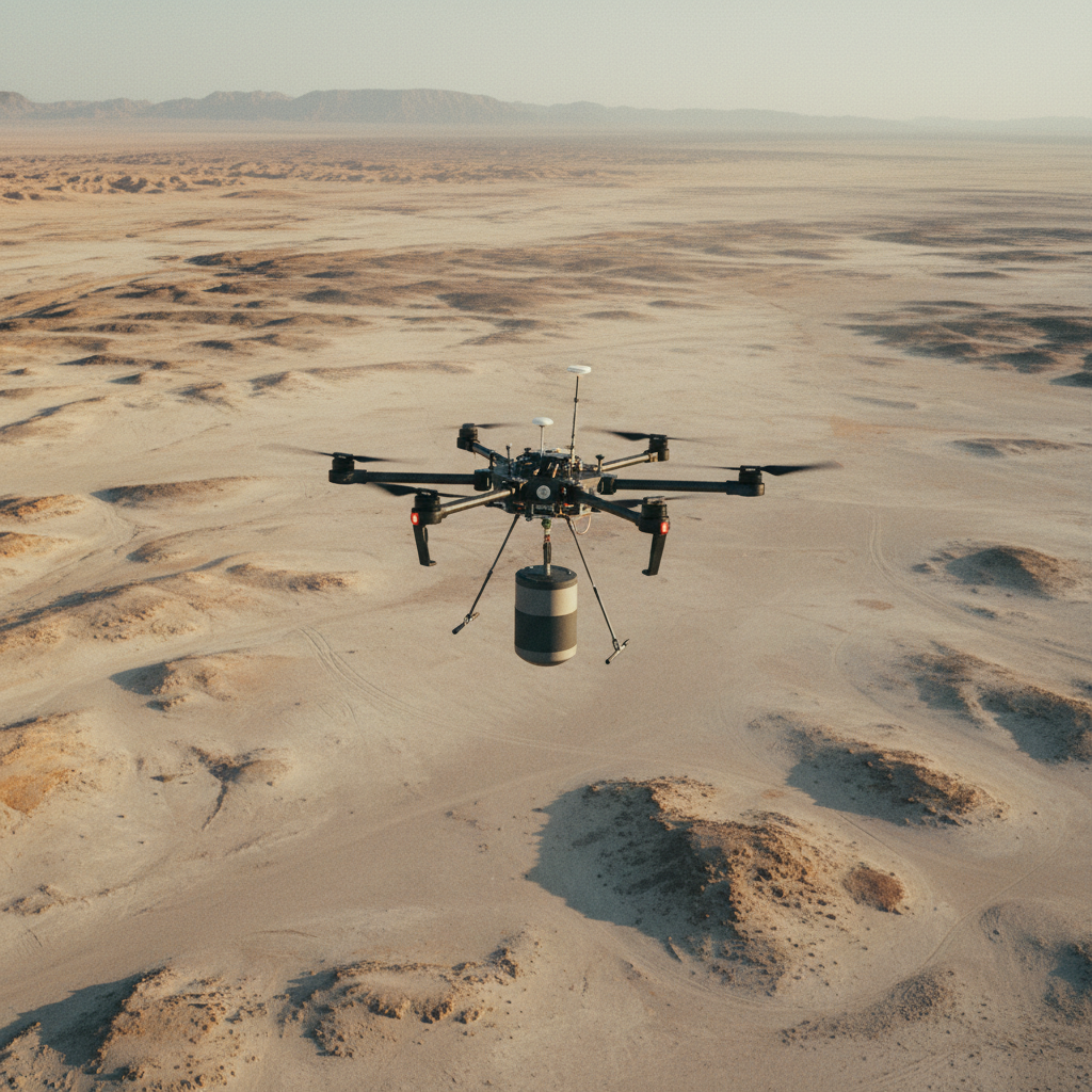
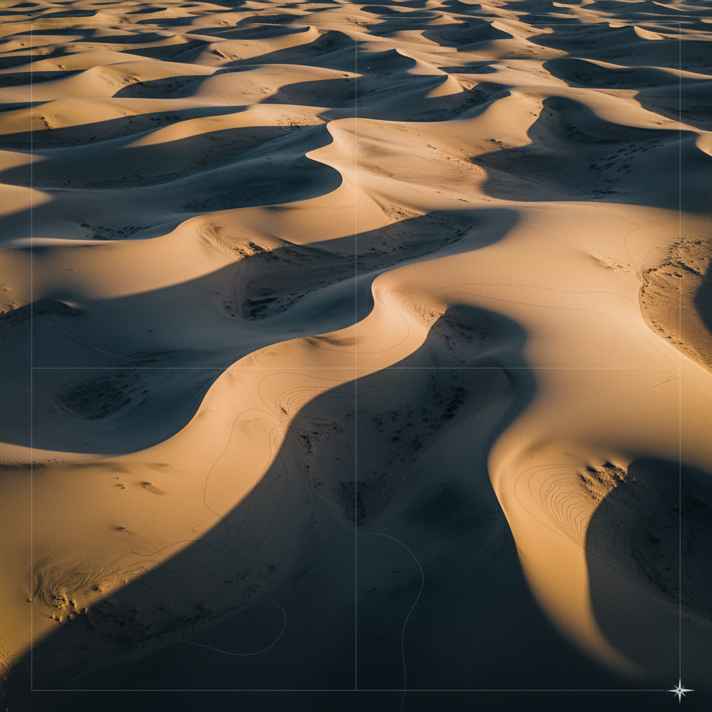
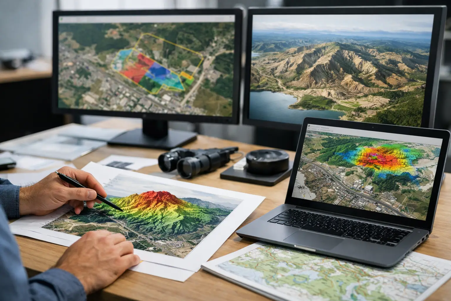
A multi-physics sensor stack purpose-built for arid terrain.
Aeromagnetic, EM resistivity, radiometric, LiDAR, photogrammetry, hyperspectral, and GPR — calibrated in-house, deployed on desert-rated platforms.
Operational ceiling 55°C ambient. Dust-sealed sensor bays. Redundant navigation for GPS-denied corridors.
A fusion pipeline that delivers interpretation, not just data.
Proprietary cross-validation across sensor types produces a single interpreted geospatial product — fully traceable, audit-ready, and structured for downstream decision-making.
Every output carries its full processing log, calibration parameters, and ground-reference points — end-to-end.
From raw airspace
to decision-ready intelligence.
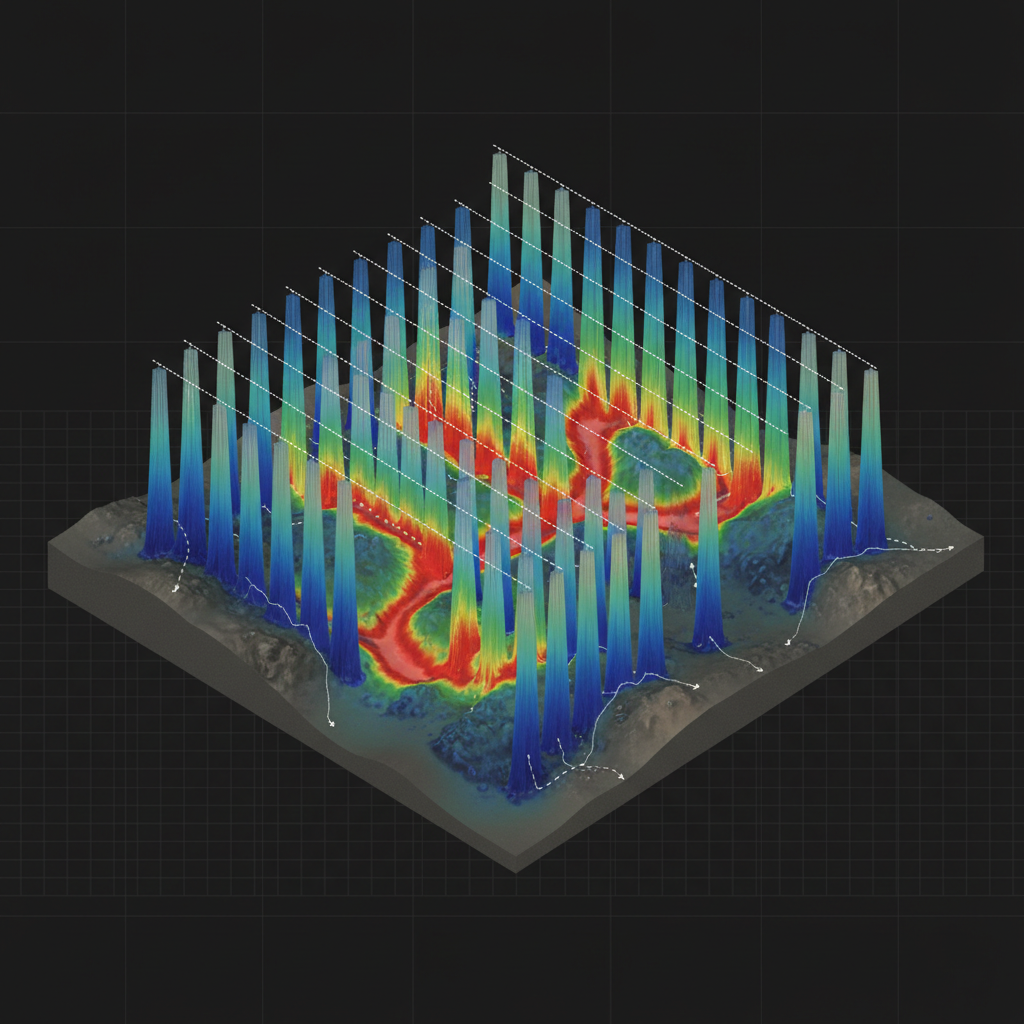
Multi-sensor acquisition
Mag, EM, radiometric, LiDAR & hyperspectral captured on calibrated, desert-rated UAV platforms.
Cross-sensor fusion
Layers co-registered & cross-validated into one interpreted, fully traceable geospatial model.
Decision intelligence
Target rankings, anomaly maps & reports — structured for exploration & engineering decisions.
Deliverables
you can drill on.
Every survey ends in interpreted, decision-ready models — 2D/3D inversions, anomaly grids, and classified maps produced in industry-standard packages and tied to your coordinate system.
3D EM conductivity model
Stitched curtain sections draped beneath flight lines, resolving a buried conductive aquifer between resistive host rock.
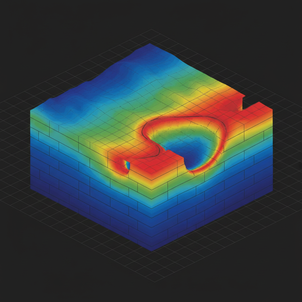
3D resistivity volume
Voxel inversion with iso-surfaces isolating a high-conductivity body for drill targeting.
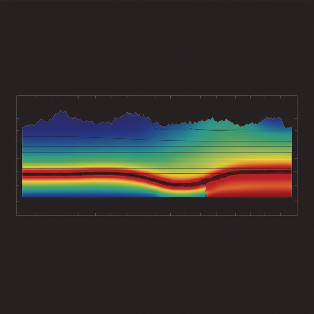
2D resistivity-depth section
Topography-corrected pseudo-section tracing a near-surface groundwater channel.
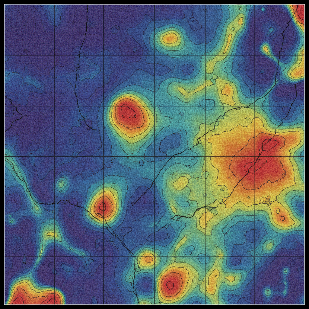
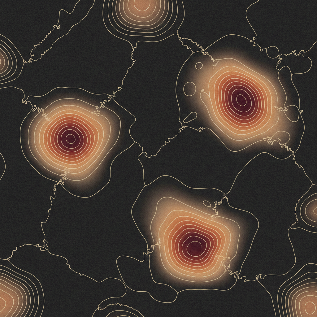
Magnetic anomaly grid
Reduced-to-pole TMI with contoured lineaments revealing buried fault structure.
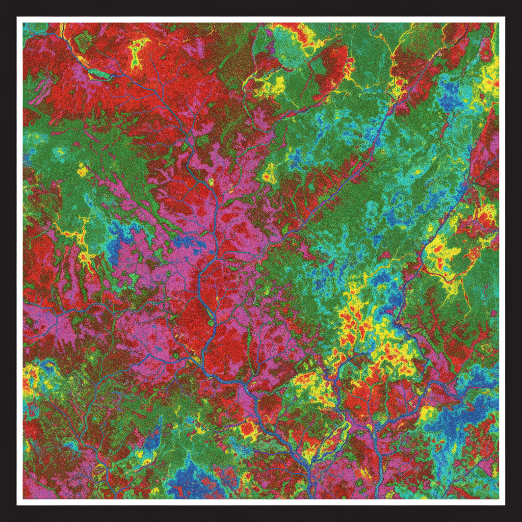
Radiometric ternary map
Potassium–thorium–uranium composite mapping lithology and alteration at surface.
Hyperspectral alteration map
VNIR-SWIR classification separating clay, iron-oxide and carbonate over hillshade.
Core capabilities.
Aeromagnetic & EM Surveys
High-resolution magnetic anomaly detection and multi-frequency EM resistivity surveys for sub-surface structural mapping and mineral identification.
LiDAR & Photogrammetry
Dense point-cloud generation and millimetre-precision DEMs for infrastructure planning, volumetric analysis, and BIM-ready deliverables.
Hyperspectral Imaging
VNIR/SWIR spectral imaging for surface mineralogy classification, vegetation stress mapping, and hydrocarbon seep detection.
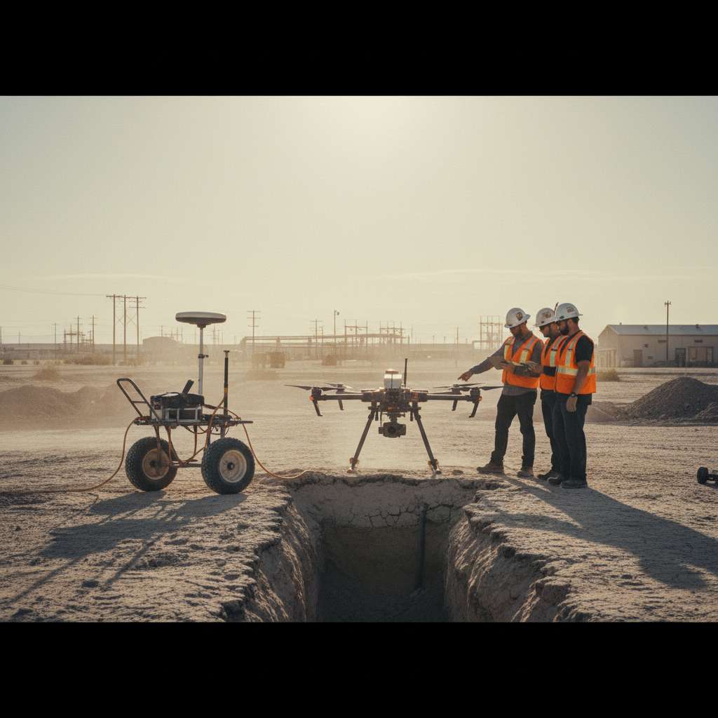
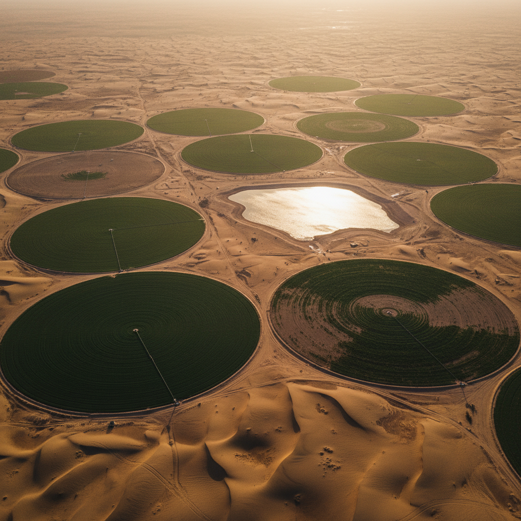
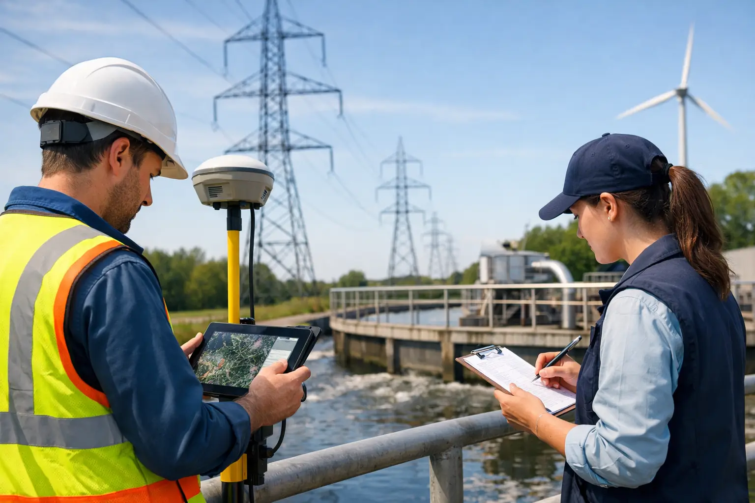
Groundwater Exploration
Integrated EM, magnetic, and gravity interpretation workflows to delineate aquifer boundaries and identify optimal borehole locations.
Confined Space Inspection
Cage-protected micro-drones equipped with gas, thermal, and visual sensors for safe inspection of tanks, silos, pipelines, and industrial voids.
Multi-Sensor Data Fusion
Proprietary processing pipeline that cross-validates and integrates outputs from multiple sensor types into a single interpreted geospatial product.
Survey & Intelligence Services.
Calibrated, traceable, cross-validated. Every deliverable carries its full processing log, calibration parameters, and ground-reference points — fully auditable end-to-end.
View all 10 services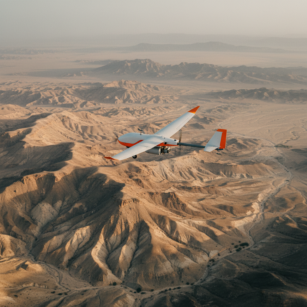 S01 · Flagship
High-resolution magnetic mapping
Airborne magnetic anomaly mapping for the detection of mineral deposits, fault systems, and geological structures — deployed across the Arabian Shield, Najd Plateau, and arid exploration corridors.
 S02Electromagnetic
Airborne EM Resistivity
Multi-frequency electromagnetic surveys for sub-surface conductivity mapping, mineral targeting, and aquifer characterization.
 S03Spectrometry
Radiometric Mapping
Gamma-ray spectrometry for surface lithology classification, alteration mapping, and U/Th/K ratio analysis.
 S04Spectral imaging
Hyperspectral Surveys
VNIR/SWIR imaging for surface mineralogy classification, vegetation stress analysis, and hydrocarbon seep detection.
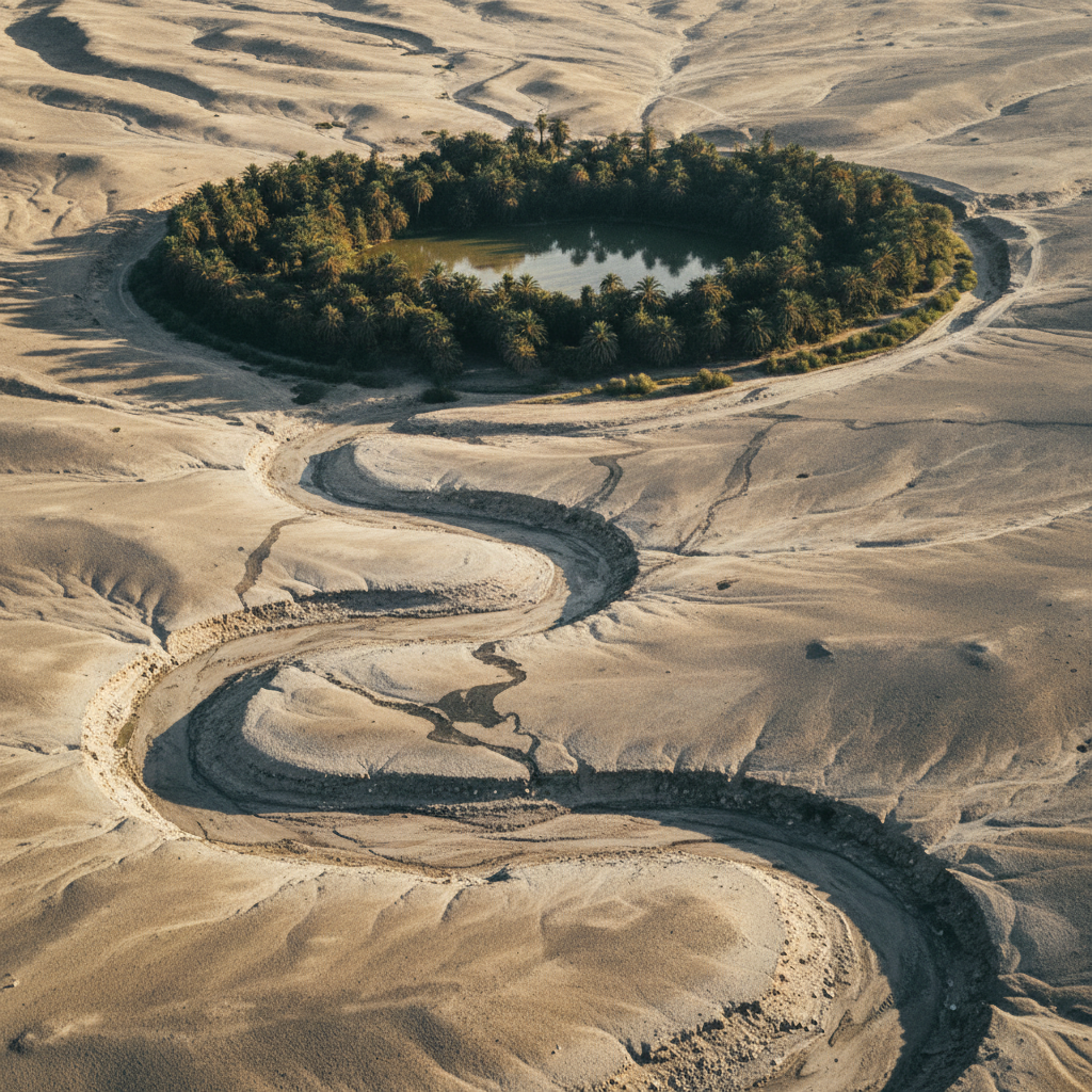 S05Hydrogeology
Groundwater Exploration
Integrated EM, magnetic, and gravity workflows to delineate aquifer boundaries and identify optimal drilling targets across arid terrain.
 S06Elevation
Topography Mapping
High-accuracy digital elevation models and contour generation for engineering, planning, and earthworks volumetric analysis.
 S07Point cloud
Photogrammetry & LiDAR
Dense point-cloud generation and orthomosaic production for BIM-ready deliverables and infrastructure planning workflows.
 S08Subsurface
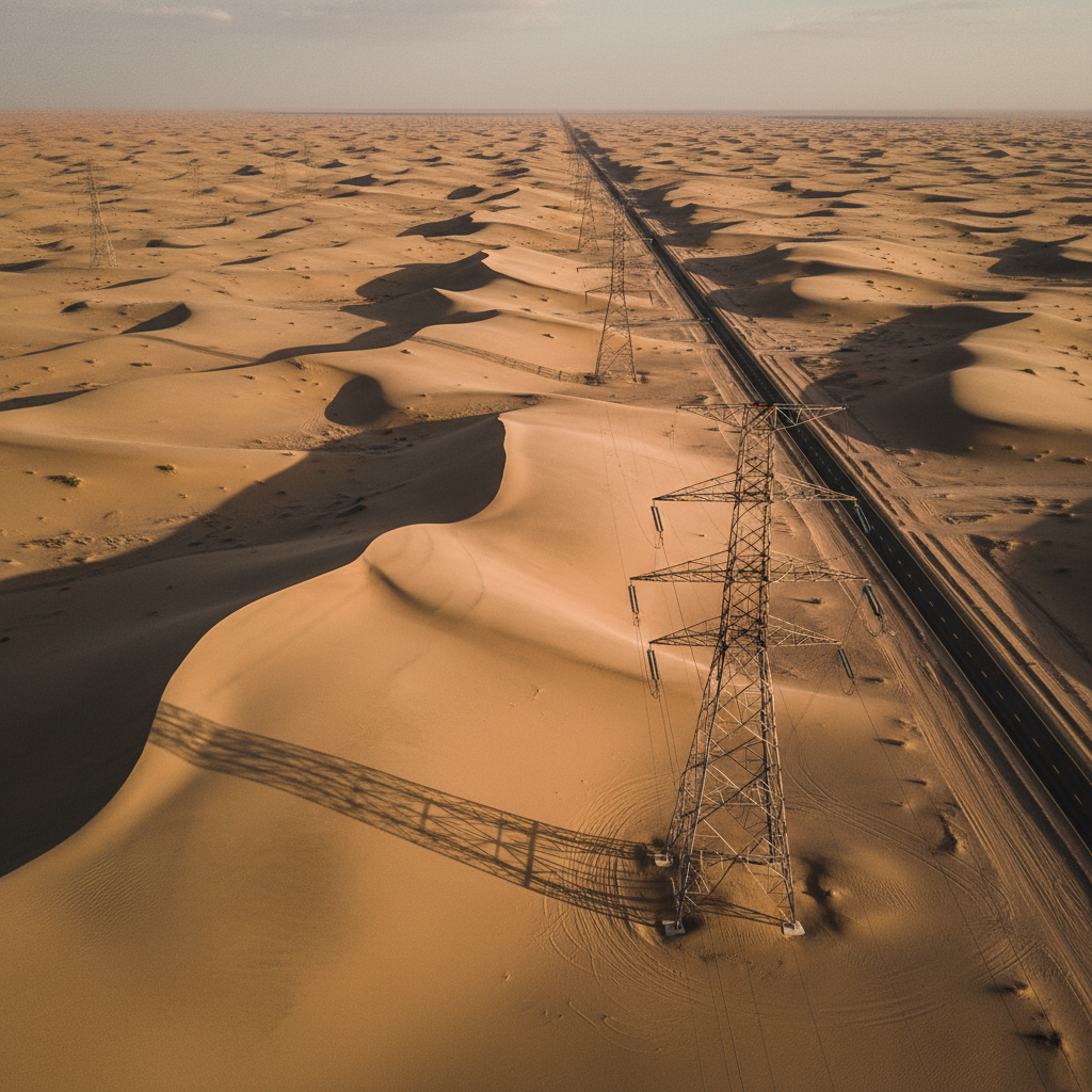
GPR & Underground Utilities
Ground-penetrating radar surveys for buried utility detection, subsurface void mapping, and pre-construction site clearance.
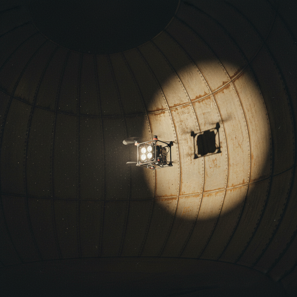 S09Inspection
Confined Space Inspection
Cage-protected micro-drones with gas, thermal, and visual sensors for tanks, silos, pipelines, and industrial voids.
 S10Facility services
Drone Building Cleaning
Façade and high-rise cleaning via tethered drone systems — safer, faster, and accessible to glass and curtain walls.
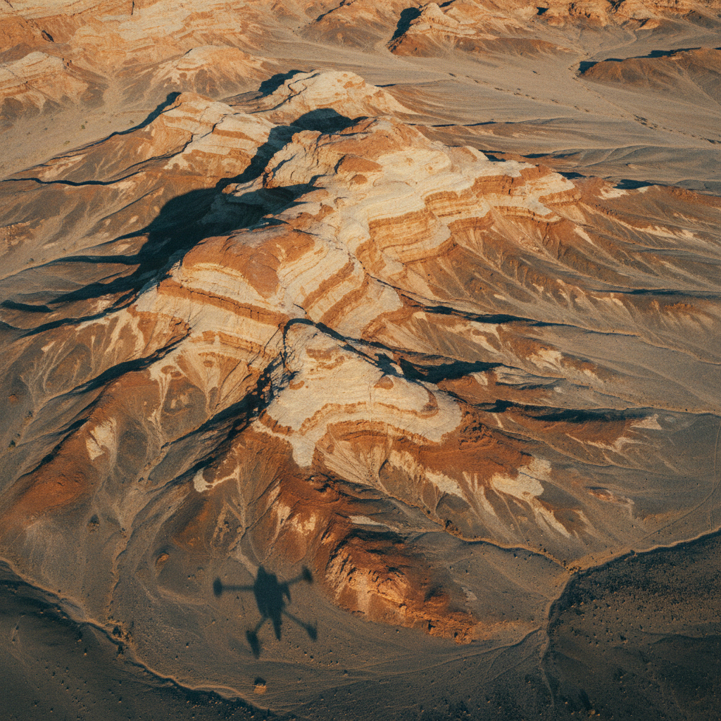
Deployed across
the Kingdom.
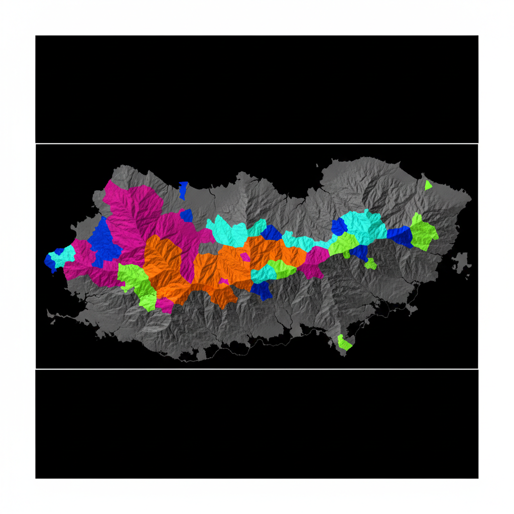
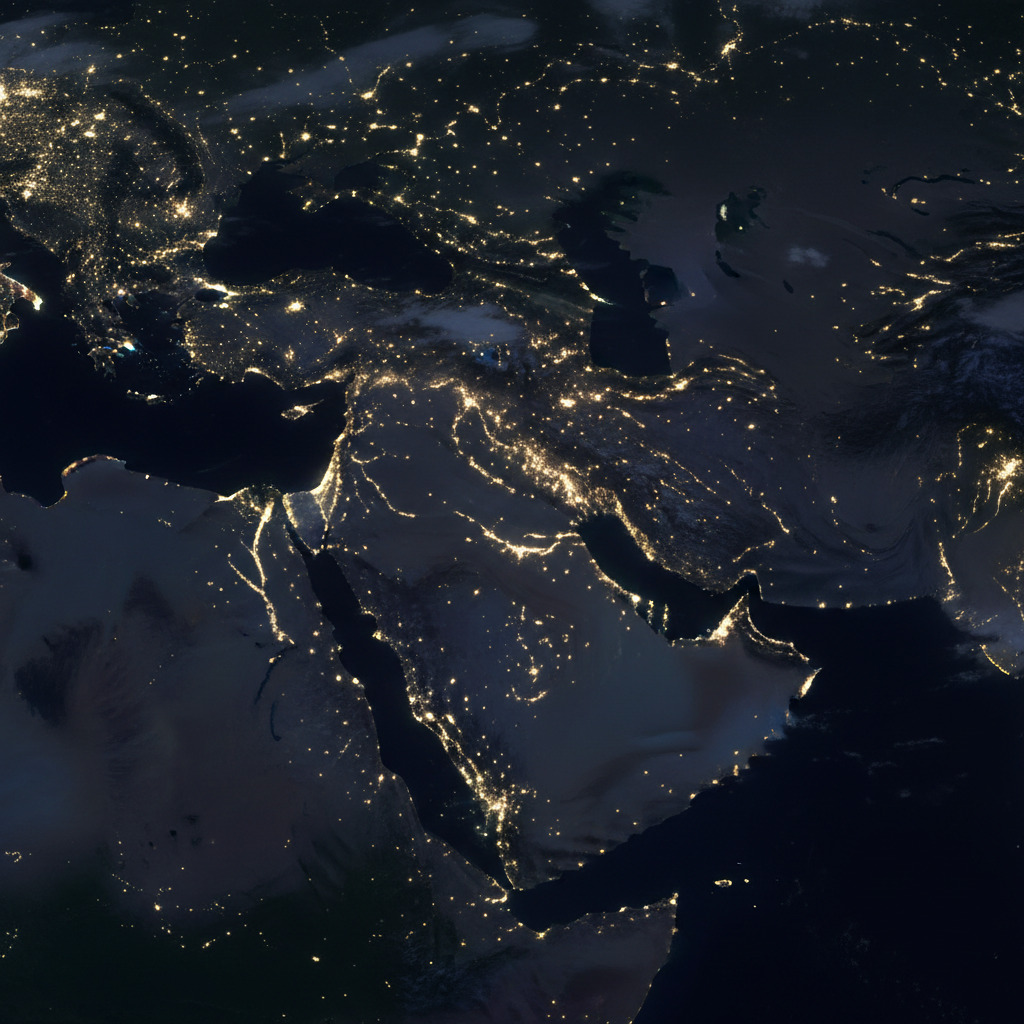
From the Arabian Shield in the west to the Eastern Province hydrocarbon belt and the Rub' al Khali frontier — our survey corridors track the Kingdom's mineral, water, and megaproject geographies.
Real-world outcomes from complex survey environments.
Jibal Asham Mineral Survey
Identified high-priority iron ore anomalies with structural geology interpretation delivered to client geologists in Northern Saudi Arabia.
NEOM Trojena Terrain Survey
High-resolution terrain model delivered for mountain resort infrastructure planning within Vision 2030 timeline.
L&T Hydrology Campaign
Productive aquifer zones delineated with drill-site recommendation report enabling targeted water well development.
Seven critical sectors.
Calibrated to each.
Every survey we conduct is calibrated to the specific geology, regulatory framework, and reporting requirements of its sector. We don't do generic aerial data.
 01
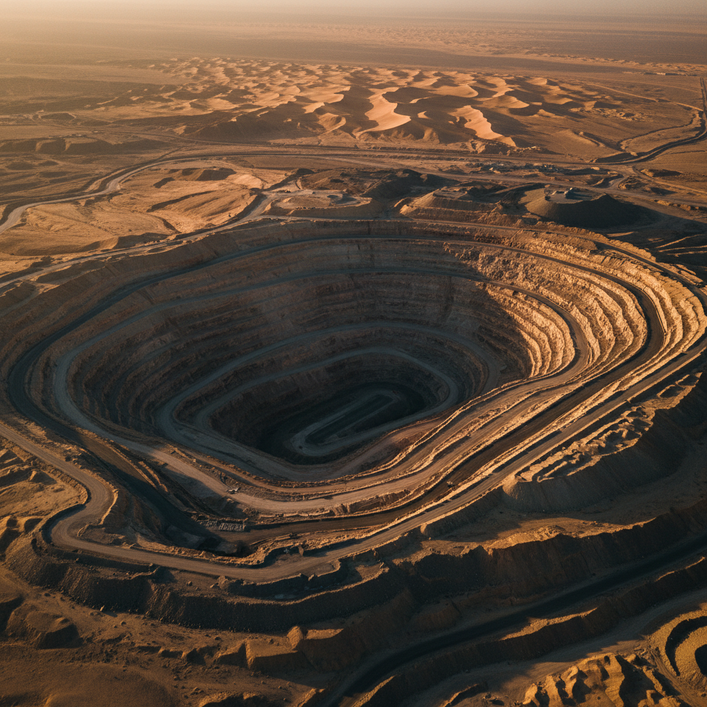
01Mining & Minerals
 02
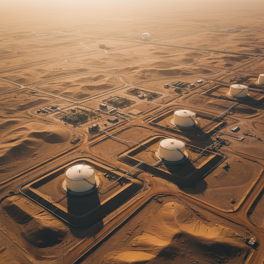
02Oil & Gas
 03
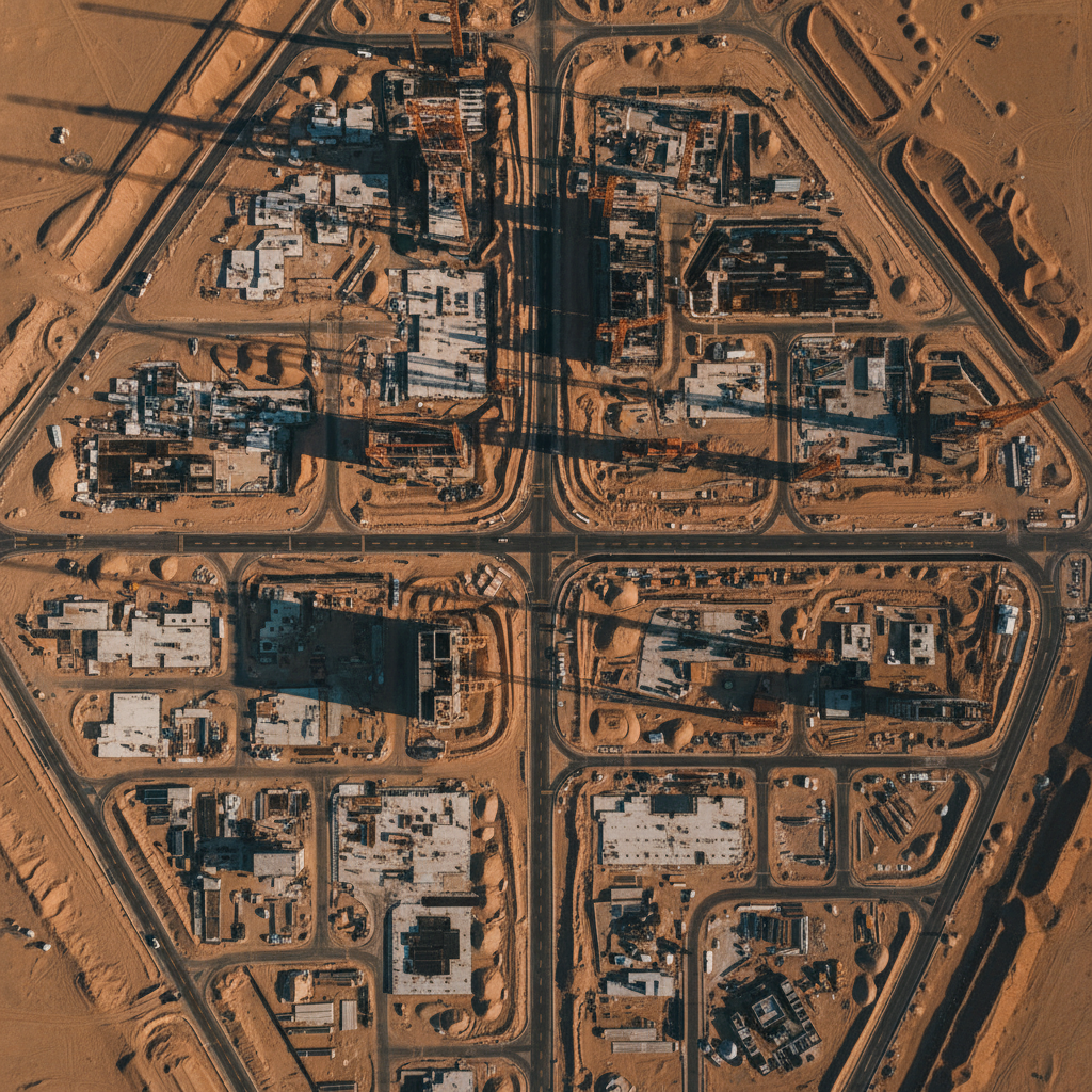
03Construction & Megaprojects
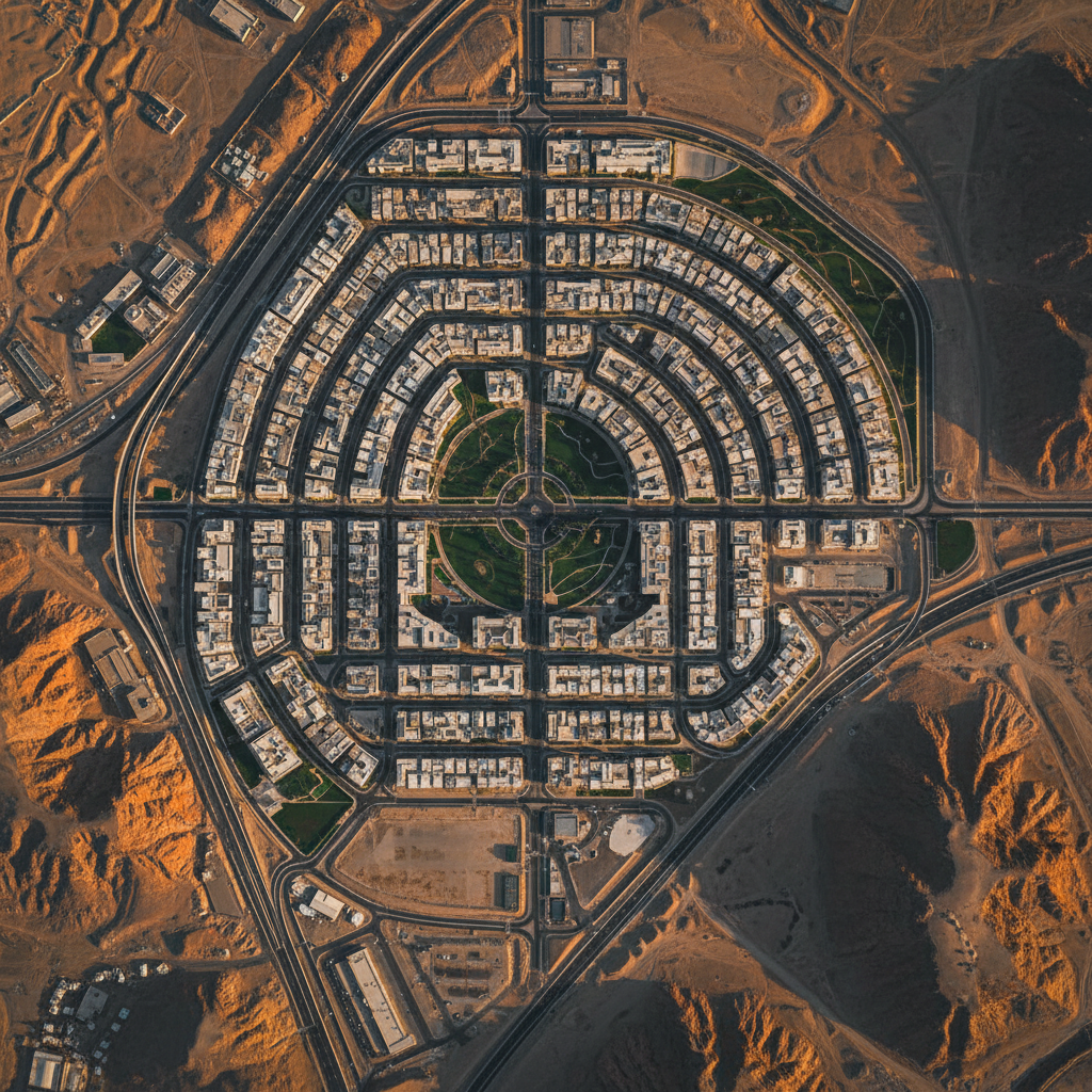 04
04Government & Vision 2030
 05
05Water Resources
 06
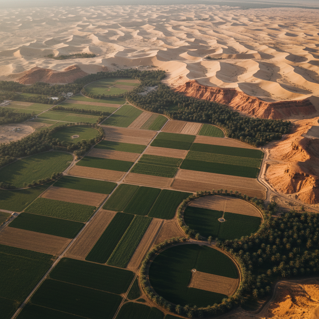
06Environment & Agriculture
 07
07Utilities & Infrastructure
Don't see your sector?
We adapt our multi-sensor stack to bespoke use cases.
Talk to usThe operational
standard.
C-level decision-makers and principal geologists evaluate us against international peers. These are the four reasons we stand the comparison.
Integrated Data Fusion
We don't deliver raw sensor data. Every survey output is processed through our proprietary fusion pipeline, cross-validated across sensor types, and delivered as an interpreted geospatial product.
Documented QA/QC
Every deliverable includes a complete QA/QC chain of custody. Tolerance thresholds, processing logs, calibration parameters, and final accuracy reports are provided as standard.
Desert-Optimised Platforms
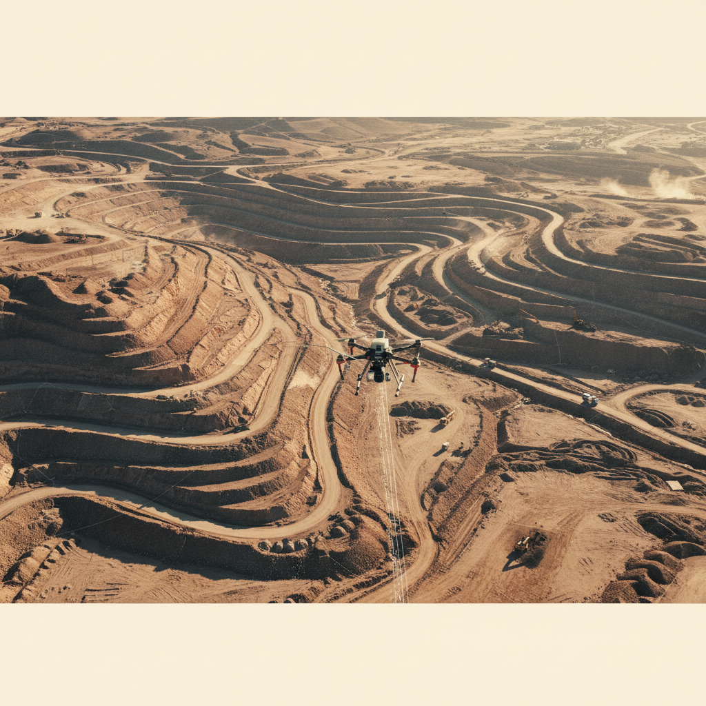
Our drone fleet is configured for extreme heat, sand ingestion, and GPS-denied corridors. Operational ceiling: 55°C ambient. Dust-sealed sensor bays. Redundant navigation architecture.
Mobilization in Days, Not Weeks
Drone-based platforms ship to site in 4–7 days versus 25+ days for helicopter operations. Permit cycles compress from 90 days to under 3 weeks for typical KSA airspace.
From the field
& the feed.
Survey case studies, sensor deep-dives, and regulatory briefings — plus a live stream of what we're publishing on LinkedIn.

Propose a
pilot survey.
Tell us your project area, geological objectives, and timeline. Our team will review your requirements and respond with a tailored technical scope.