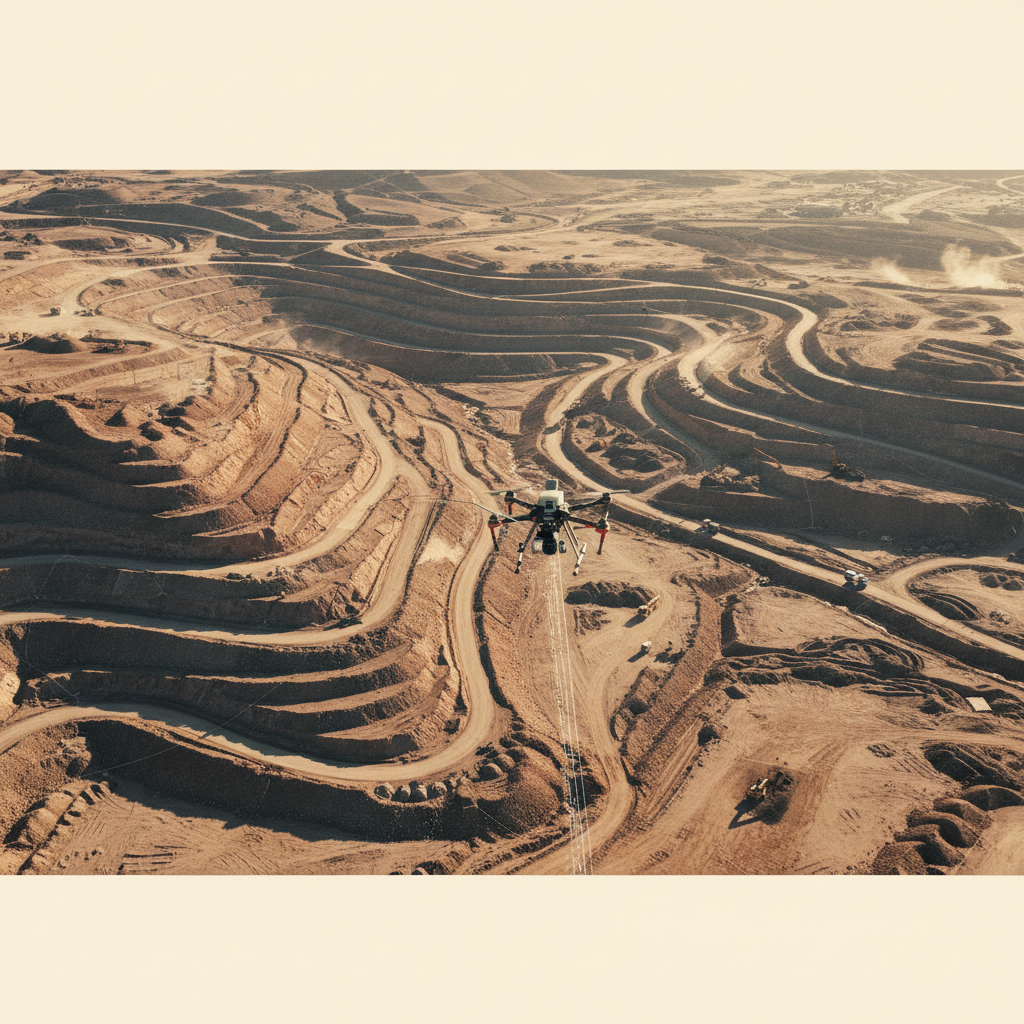
Mountain terrain, megaproject timeline
LiDAR + photogrammetry capture
BIM-ready engineering baseline
NEOM's Trojena programme demanded engineering-grade terrain data over rugged mountain blocks that conventional ground survey would have taken many months to deliver. The schedule pressure was intense — every week of survey delay translated to downstream engineering rework.
We deployed calibrated LiDAR + photogrammetry platforms with PPK GNSS, supported by a strategic GCP network and intensive in-field QC. Point cloud and orthomosaic outputs were processed in parallel with acquisition, compressing the typical pipeline to days.
Outputs landed in client-specified formats — DXF/Shapefile contours, LAS point clouds, GeoTIFF orthomosaic — at centimetre absolute accuracy verified against check points. The engineering team consumed the deliverables directly into the Vision 2030 design pipeline.
Mountain terrain capture
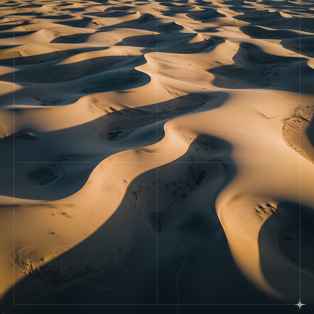
Bare-earth terrain model
Baseline your megaproject.
Share your site and accuracy spec. We respond with capture plan and timeline within 48 hours.