Oil &
Gas.
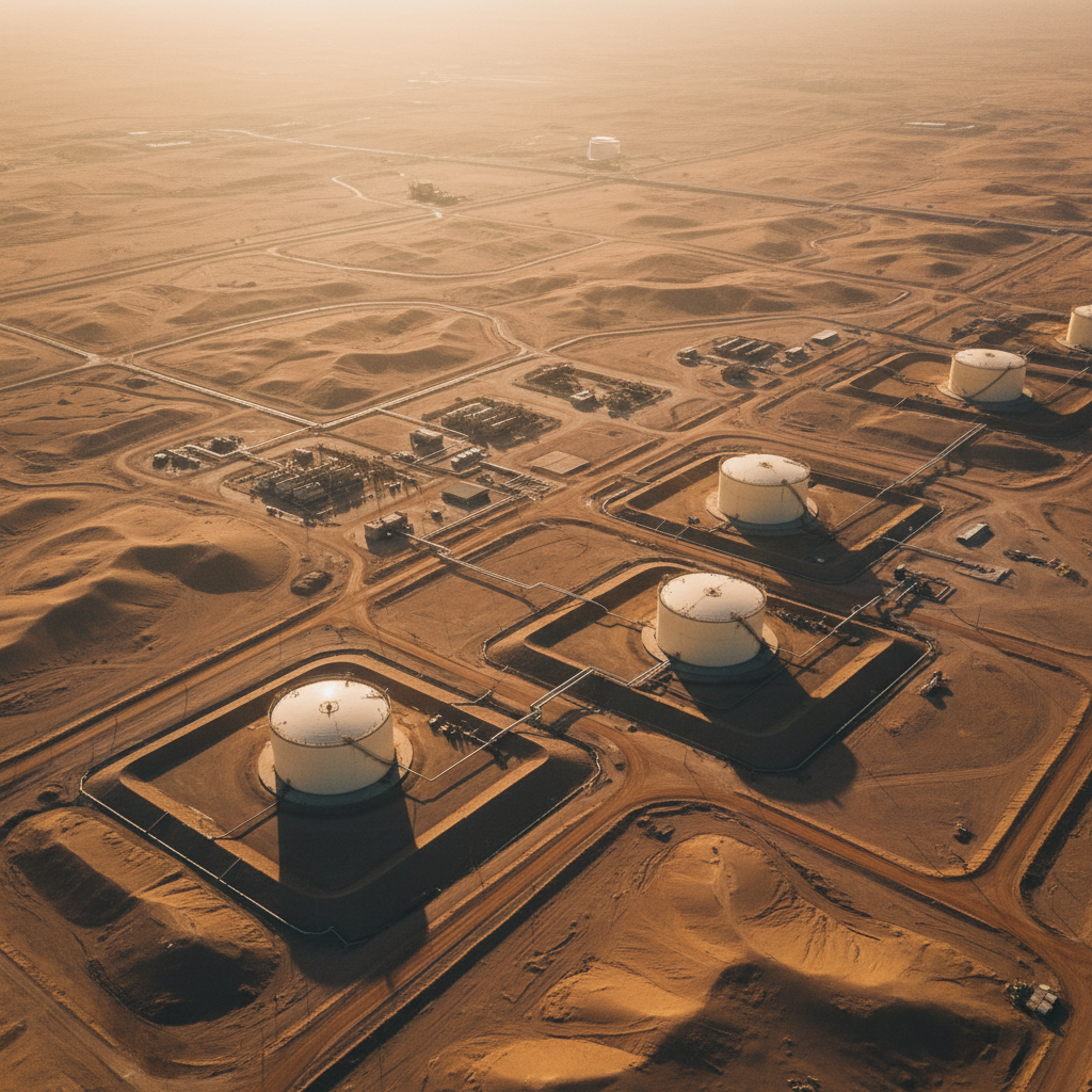
Structural mapping, hydrocarbon seep detection, and pipeline corridor surveys for upstream exploration and midstream asset integrity across the Kingdom's basins and corridors.
Subsurface intelligence for upstream.
Saudi Arabia's hydrocarbon plays are mature in places and frontier in others — but in both regimes the geophysical baseline matters. Basement structure, fault networks, and concealed structural traps all benefit from airborne magnetic, radiometric, and hyperspectral interpretation.
Hyperspectral imaging adds a complementary dimension — surface micro-seep detection, alteration halos around concealed reservoirs, and vegetation stress patterns over leak corridors.
Downstream, pipeline corridor surveys with GPR and LiDAR de-risk new builds and document leak repair zones with audit-ready precision.
What we solve.
Buried structural traps
Airborne magnetics resolves basement structure controlling reservoir geometry.
Surface micro-seeps
Hyperspectral SWIR signatures of hydrocarbon-induced surface alteration.
Pipeline corridor risk
GPR + LiDAR pre-clear new pipeline routes and document existing assets.
Concealed reservoirs
Magnetic + radiometric integration reveals subtle reservoir-controlling features.
Environmental baselines
Pre-development surveys establish defensible ESG baselines for regulators.
As-built validation
LiDAR + photogrammetry document as-built infrastructure to BIM tolerance.
Capabilities for this sector.
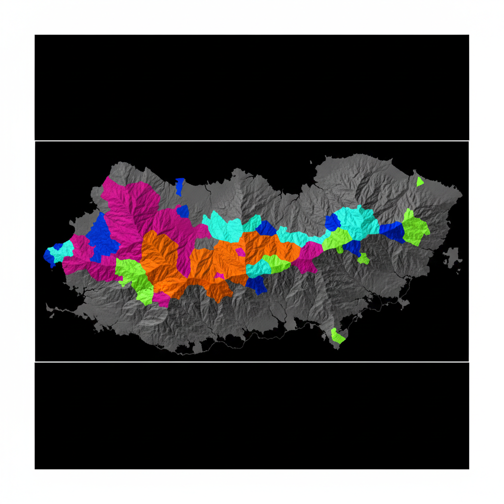
Micro-seep map
Surface alteration patterns extracted from hyperspectral classification — flagged for ground-truth follow-up over a covered hydrocarbon play.
Image your concession.
Send us your block boundary and exploration objective. We respond with a multi-sensor survey design and timeline within 48 hours.