
Confined Space
Inspection.
Cage-protected micro-drones equipped with gas, thermal, and high-resolution visual sensors for safe inspection of tanks, silos, pipelines, pressure vessels, and industrial voids. Removes humans from the most dangerous spaces on a facility.
- Platform
- Elios / Skydio-class
- Sensors
- 4K visual + thermal + gas
- Flight time
- ~10 min
- Min space
- 0.8 m diameter
- GPS-denied
- Yes (LiDAR SLAM)
Zero human entry. Full visual record.
Confined-space entry is one of the most dangerous activities in any facility — falls, atmospheric hazards, energised systems, and rescue complexity all stack risk on the operator. Caged inspection drones remove the operator from the space entirely, while delivering inspection-grade visual, thermal, and gas data.
Our platforms operate GPS-denied via LiDAR SLAM, capturing 4K visual, radiometric thermal, and gas readings (CH₄, H₂S, CO, O₂). The collision-tolerant cage allows direct contact with walls, baffles, and internals without aborting the mission.
Output is a georeferenced inspection record — 3D model of internal geometry, annotated defect locations, and full atmospheric log — suitable for engineering review, regulatory submission, and asset-integrity workflows.
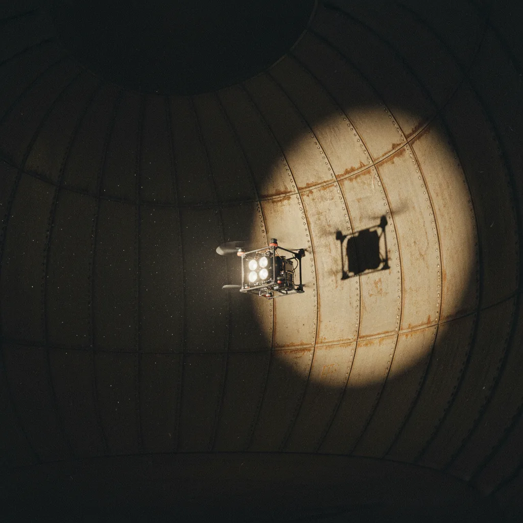
Interior inspection record
Georeferenced visual record of internal walls, baffles, and connections. Annotated defects with coordinates for follow-up.
Radiometric thermal
LiDAR SLAM trajectory → 3D internal model → visual orthorectification → defect annotation → atmospheric data overlay → inspection report packaging.
From access port to inspection record.
Pre-Flight Safety Review
Atmospheric assessment, isolation verification, rescue plan coordination, client safety briefing.
Internal Mission
Caged drone deployed through access port. SLAM-based navigation, continuous 4K + thermal + gas logging.
Data Processing
3D internal model build, visual orthorectification, defect annotation, atmospheric data correlation.
Engineering Report
Inspection summary, severity classification, recommendation summary. Format aligned to client asset-integrity standard.
What you receive.
3D internal model
Geometric reconstruction of inspected space. OBJ/glTF.
4K visual record
Full video + key frames with timestamps and 3D coordinates.
Thermal record
Radiometric thermal imagery with temperature mapping.
Atmospheric log
Time-stamped CH₄, H₂S, CO, O₂ readings across mission.
Defect register
Annotated defect locations with severity classification and photos.
Inspection report + safety log
Executive summary + safety record + chain of custody.
Where this service is deployed.
Common questions.
What's the smallest space the drone can operate in?+
As small as 0.8 m in diameter, using cage-protected micro-drones built for tanks, silos, and pipelines.
Can the drone operate without GPS?+
Yes — navigation relies on LiDAR SLAM, so it works fully GPS-denied inside enclosed structures.
What does the drone sense during an inspection?+
4K visual, thermal, and gas sensors in a single ~10-minute flight, covering visual, thermal, and atmospheric-hazard data at once.
Inspect without entry.
Share your asset, access port location, and inspection objective. We respond with platform selection, safety plan, and schedule within 48 hours.