Mining &
Minerals.
Airborne geophysics that sees beneath the surface — mapping deposits, structures, and alteration across the Arabian Shield before a single drill rig moves.
De-risk exploration from the air.
The Kingdom's mineral wealth — gold, copper, phosphate, rare earths — sits within some of the most remote and rugged terrain on the peninsula. Ground exploration there is slow, costly, and often dangerous.
Airborne geophysics changes the economics. Flying calibrated magnetic, radiometric, and electromagnetic sensors over a licence area produces continuous, high-resolution datasets that reveal sub-surface structure, lithology, and conductivity anomalies — directly guiding where to drill and where not to.
For mining companies racing against licence timelines and capital constraints, that means fewer wasted holes, faster target generation, and a defensible technical basis for investment decisions.
What we solve.
Inaccessible terrain
Rugged shield outcrops and remote corridors covered from the air without road access.
Blind drilling risk
Anomaly maps focus drill programmes on the highest-probability targets.
Concealed structures
Faults and contacts under cover resolved through magnetic and EM signatures.
Slow target generation
Continuous coverage compresses months of ground survey into days of flying.
Reporting compliance
Traceable, calibrated datasets that withstand technical and regulatory scrutiny.
Alteration mapping
Radiometric and hyperspectral data flag alteration halos around mineralisation.
Capabilities for this sector.
Structure & deposit mapping.
Lithology & alteration.
Conductive target detection.
Surface mineralogy mapping.
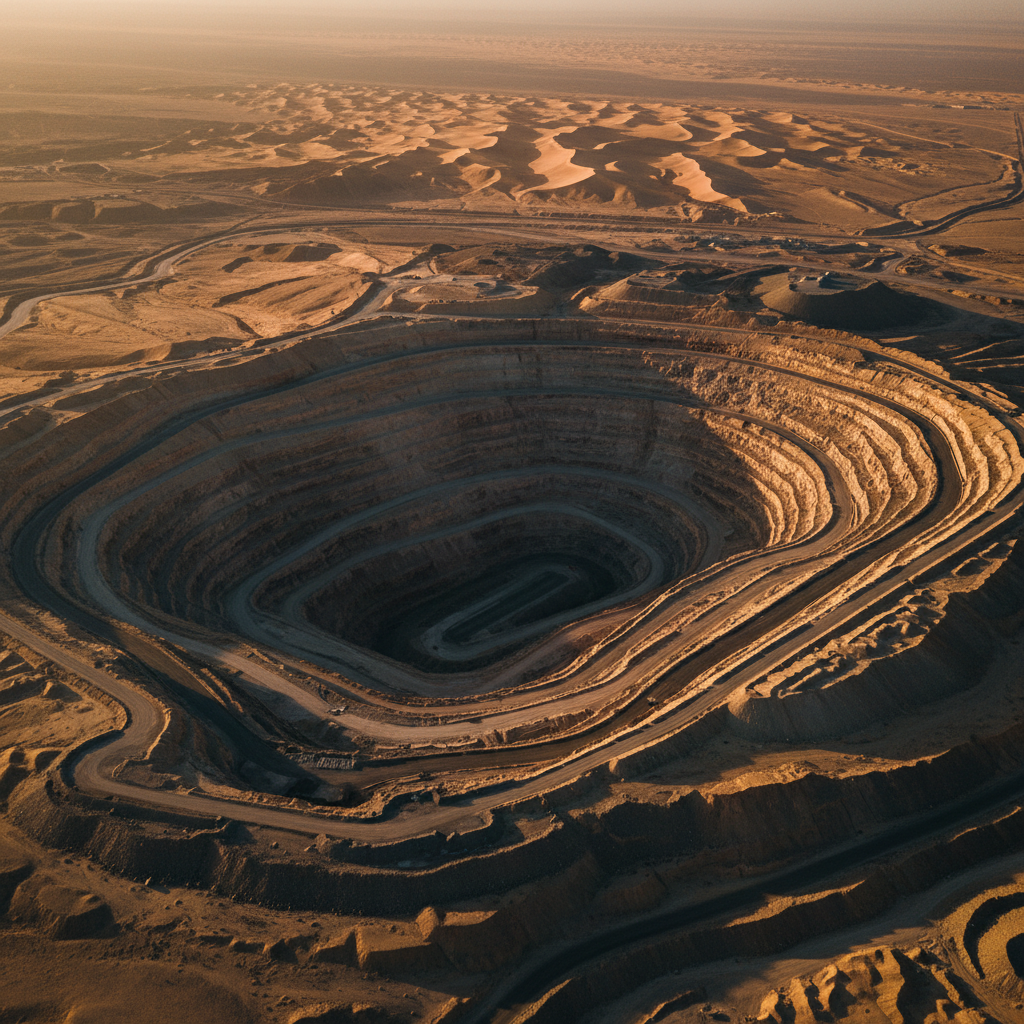
Pit & volumetric models.
Haul-road & pit reality capture.
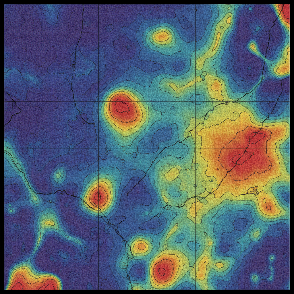
Structural targeting
A gridded total-magnetic-intensity image resolving faults, intrusions, and magnetic contacts that frame the exploration model.
Map your licence area.
Send us your concession boundary and exploration target. We respond with a multi-sensor survey plan and pricing within 48 hours.