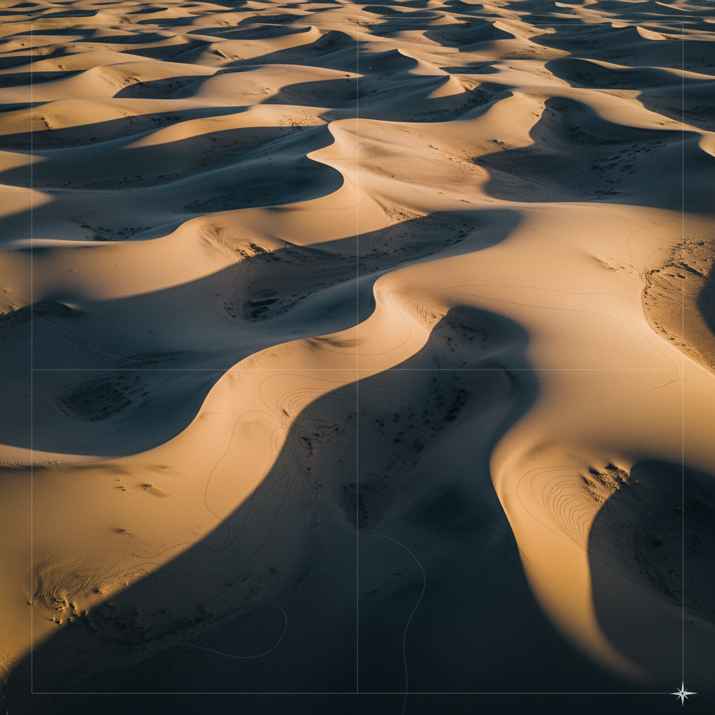
Topography
Mapping.
High-accuracy digital elevation models, contour generation, and earthworks volumetric analysis for engineering, planning, and construction monitoring. Survey-grade outputs delivered in client-specified coordinate systems.
- Method
- Photogrammetry + RTK GNSS
- Vertical accuracy
- ±3–5 cm
- Horizontal accuracy
- ±2–3 cm
- Flight altitude
- 80–150 m AGL
- Coverage
- ~8 km²/day
Engineering-grade terrain capture.
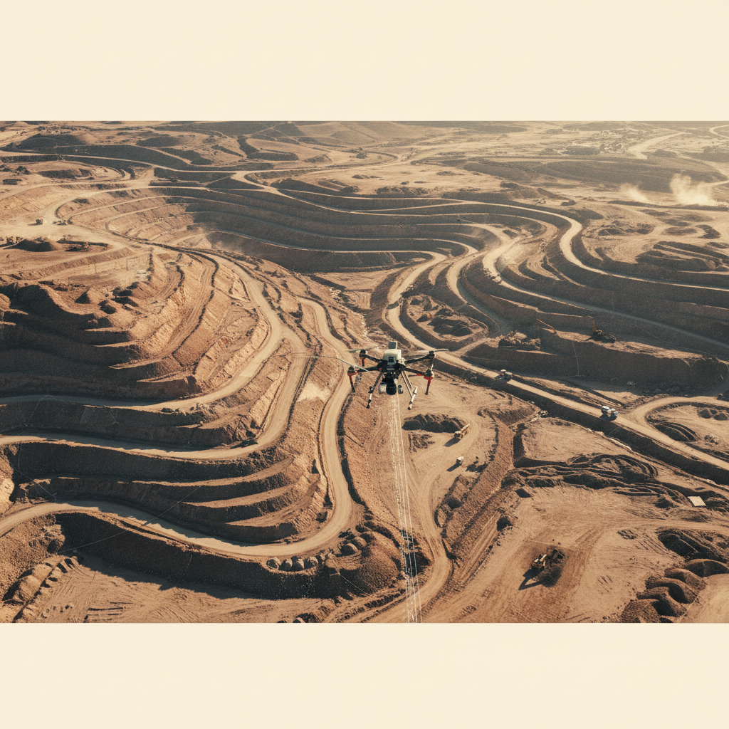
Every infrastructure project — road, pipeline, dam, megaproject — starts with a terrain model that designers and contractors trust at engineering tolerance. We deliver that baseline at flight speed, removing the conventional GPS-RTK base-and-rover bottleneck on large or hazardous sites.
Our workflow combines photogrammetric capture with RTK/PPK GNSS positioning and ground control to deliver vertical accuracy of 3-5 cm absolute — sufficient for cut/fill calculation, contour generation, and design-grade as-builts.
Outputs ship in client-specified formats — DXF/Shapefile for CAD workflows, GeoTIFF for GIS, LAS/LAZ for downstream BIM and design platforms.
Bare-earth elevation model
Vegetation-filtered DTM with embedded coordinate reference. Ready for cut/fill, contour generation, and watershed analysis.
Contour vectors
RTK/PPK trajectory → photogrammetric bundle adjustment → dense matching → point cloud filtering → DTM/DSM generation → contour extraction + breaklines.
From mission plan to engineering DTM.
Mission Design & GCPs
Flight plan tuned to client accuracy spec. GCPs surveyed to PPK/RTK standard at strategic positions.
Airborne Capture
Photogrammetric imagery captured with RTK GNSS trajectory logging. Forward and side overlap tuned to terrain complexity.
Processing
Bundle adjustment, dense matching, point cloud filtering, DTM/DSM extraction. Absolute accuracy verified against check-points.
Deliverable Generation
Contour generation, breakline extraction, volumetric calculation, and export to client-specified formats.
What you receive.
DTM (bare earth)
Filtered terrain model at client-specified grid resolution.
DSM (surface)
Full surface model including vegetation and structures.
Contour vectors
Major/minor contours + breaklines. DXF + Shapefile.
Orthomosaic
GSD-controlled true orthophoto.
Volumetric report
Cut/fill against design surface with confidence bands.
Accuracy report + QA/QC log
Check-point residuals, GCP RMSE, full processing log.
Where this service is deployed.
Capture your terrain.
Share your AOI, accuracy requirement, and deliverable format. We respond with a survey plan and schedule within 48 hours.