Construction &
Megaprojects.
Survey-grade DEMs, BIM-ready point clouds, and audit-traceable volumetrics for Vision 2030 megaprojects — designed to plug directly into your engineering and project-controls workflow.
Engineering inputs at flight speed.
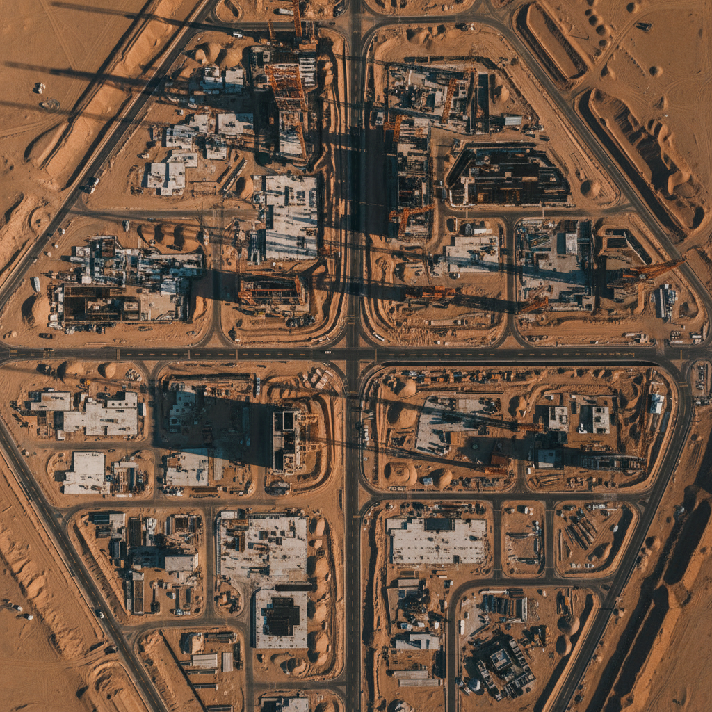
Vision 2030 megaprojects compress decades of conventional construction into months. The pace puts pressure on the survey pipeline — terrain models, earthworks volumes, as-built validation, and corridor clearance all need to land at engineering quality with zero schedule slip.
We operate calibrated LiDAR and photogrammetric platforms with RTK/PPK GNSS positioning — delivering centimetre-grade outputs at coverage rates that conventional teams can't match, into your CAD/BIM stack without format friction.
Every deliverable carries its full processing metadata — GCP RMSE, check-point residuals, calibration records — ready for QA review and regulatory submission.
What we solve.
Schedule pressure
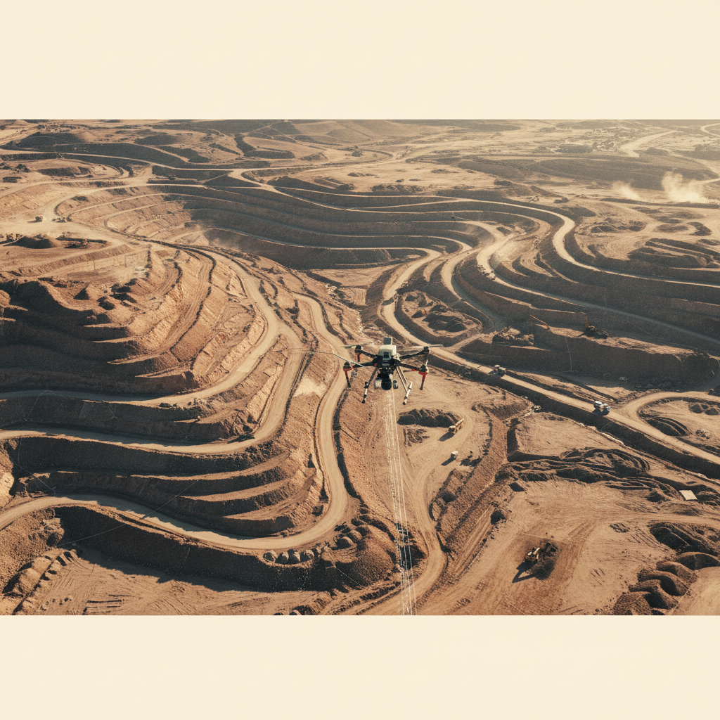
Drone capture compresses weeks of ground survey into days.
Earthworks volumetrics
Cut/fill against design surface with confidence bands per deliverable.
BIM integration
Outputs in client-specified CAD/BIM formats with embedded geospatial reference.
Subsurface clearance
GPR pre-clears excavation zones before earthmoving begins.
As-built validation
LiDAR + photogrammetry document construction against design to engineering tolerance.
Facade and high-rise services
Tethered drones clean glass and articulated facades at scale.
Capabilities for this sector.
BIM-ready terrain model
Survey-grade DTM delivered as DXF + Shapefile contours and LAS point cloud — direct input to design and construction QA workflows.
Capture your site.
Share your site polygon, accuracy spec, and deliverable format. We respond with capture plan and schedule within 48 hours.