Seven critical
sectors.
Every survey we conduct is calibrated to the specific geology, regulatory framework, and reporting requirements of its sector. We don't do generic aerial data.
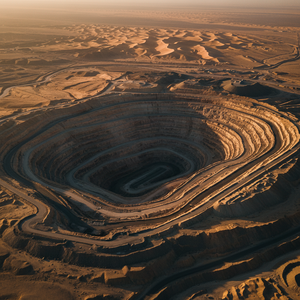 IND-01
Mining & Minerals
Sub-surface anomaly mapping & structural geology across the Arabian Shield.
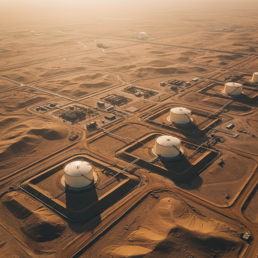 IND-02
Oil & Gas
Structural mapping, hydrocarbon seep detection & pipeline corridor surveys.
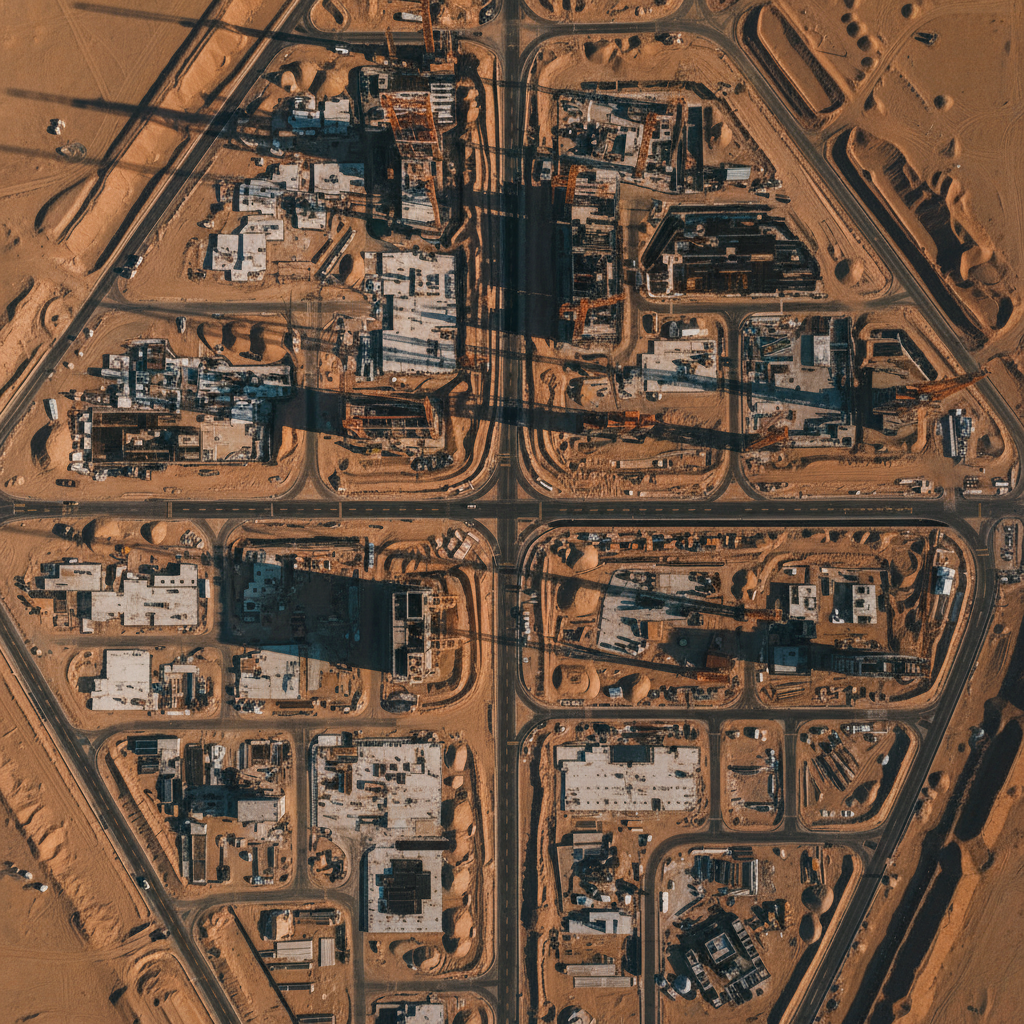 IND-03
Construction & Megaprojects
DEMs, volumetric analysis & BIM-ready point clouds for Vision 2030 builds.
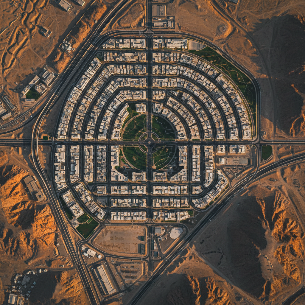 IND-04
Government & Vision 2030
Regulatory-compliant national infrastructure & strategic resource mapping.
 IND-05
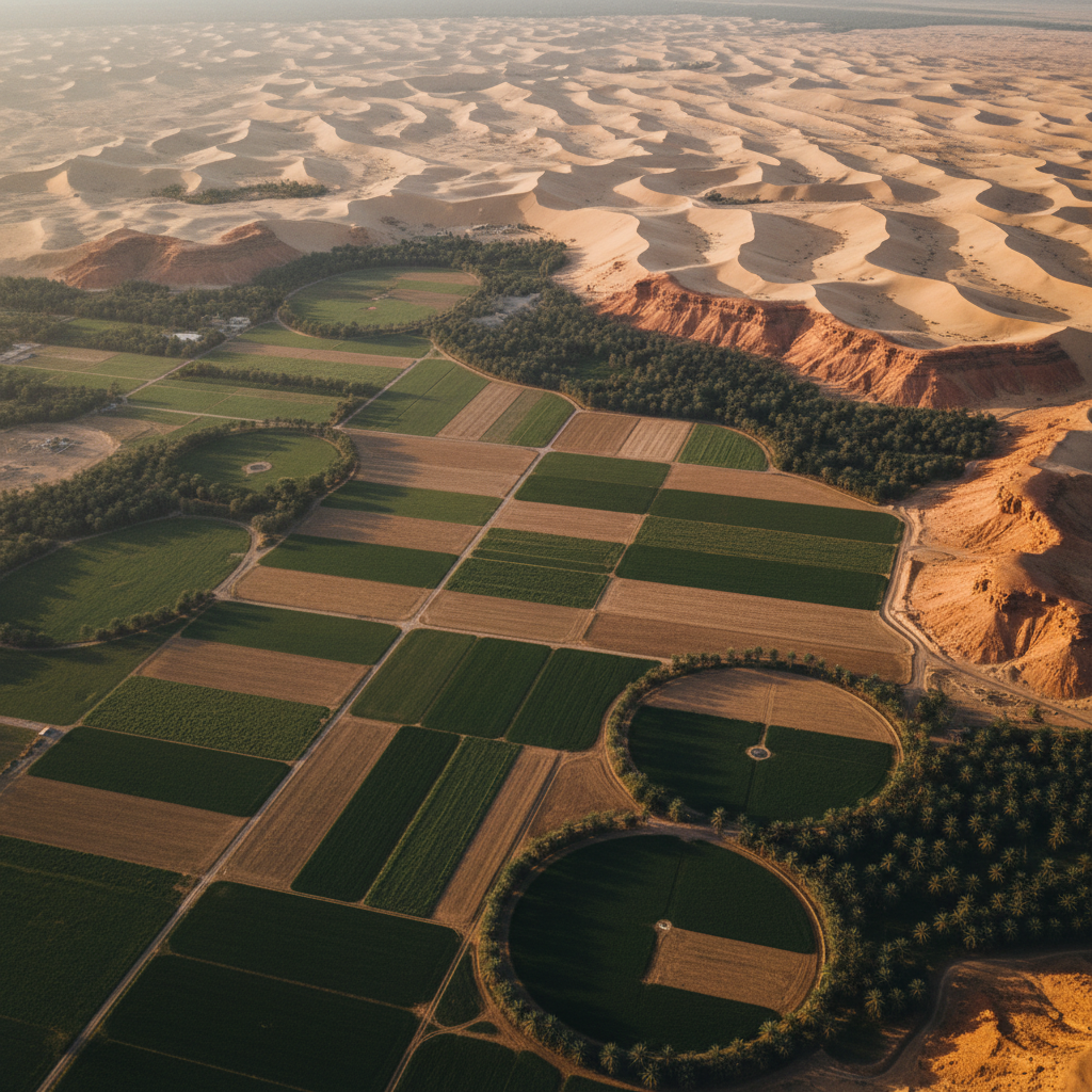
Water Resources
Aquifer delineation & groundwater targeting for national water security.
 IND-06
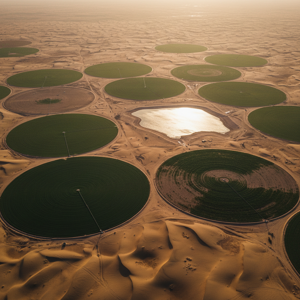
Environment & Agriculture
Vegetation stress, soil classification & environmental impact mapping.
 IND-07
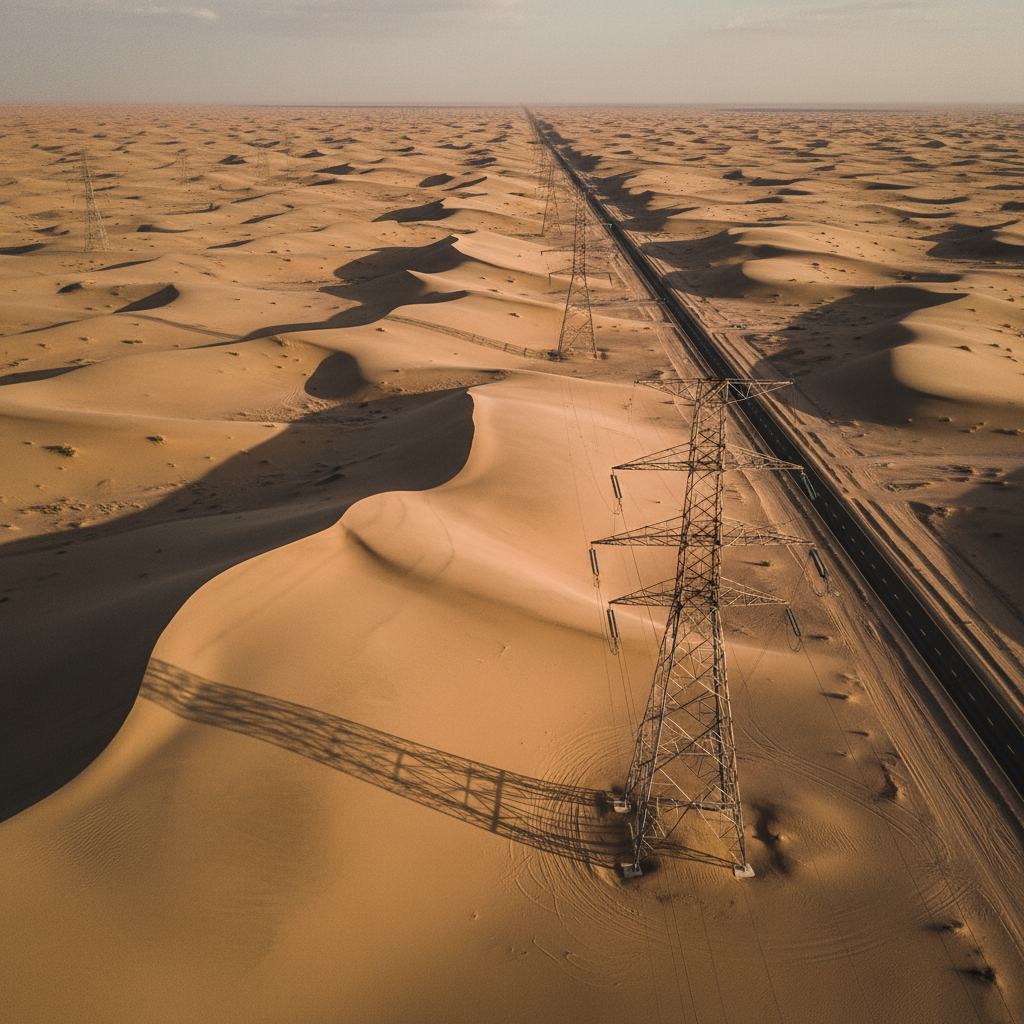
Utilities & Infrastructure
GPR utility mapping, subsurface void detection & pre-construction clearance across the Kingdom's corridors.
Different sector?
Defence, telecoms, port logistics — evaluated case by case.
Talk to usDifferent sector, same standard.
Custom industrial use cases — defence, telecoms, port logistics — are evaluated case by case. Tell us what you're working on.