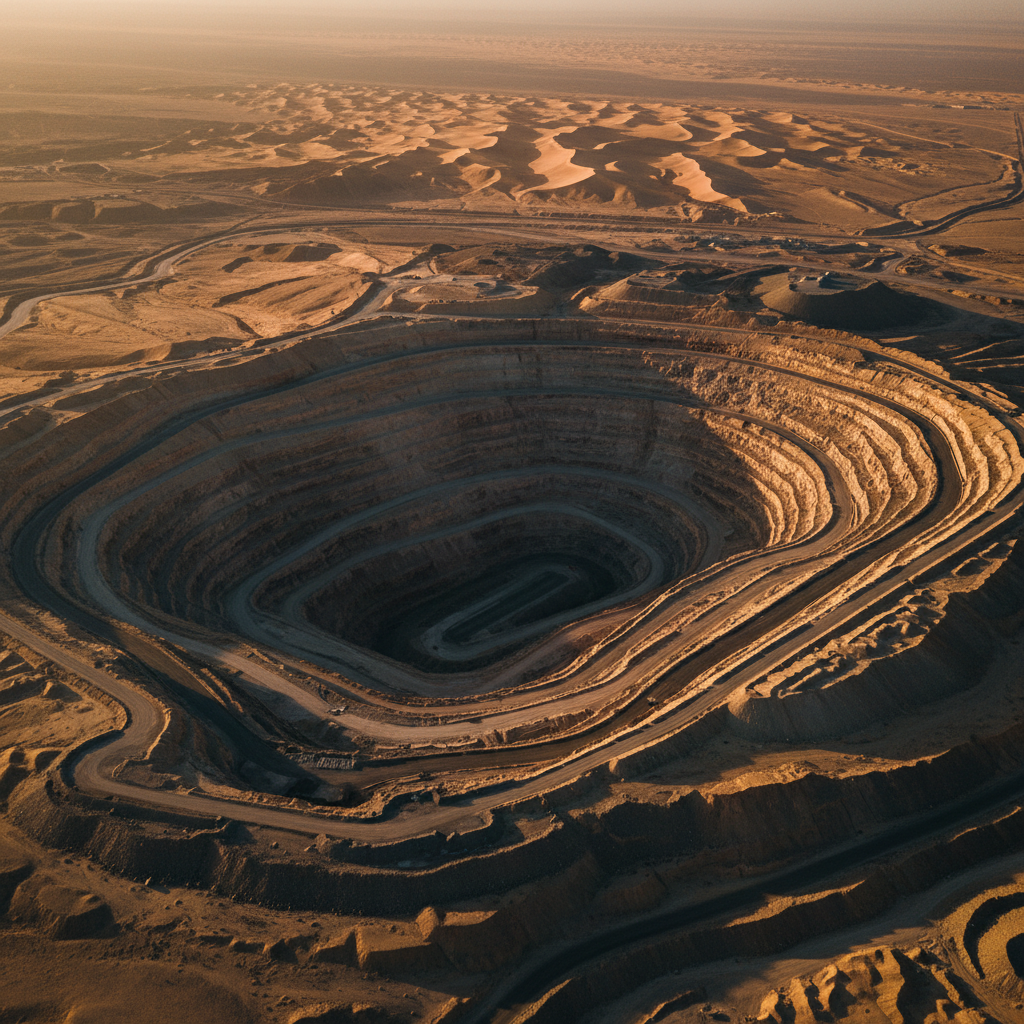
Rugged, road-poor terrain
Dual-sensor airborne survey
Ranked drill targets
The client held an exploration licence over a structurally complex, largely inaccessible block of the Arabian Shield. Ground survey was slow and hazardous, and there was no reliable basis to prioritise an expensive drill programme.
We flew a tightly-spaced aeromagnetic and radiometric survey across the full licence area, with continuous in-field QC of line coverage and data quality. Processing removed diurnal and platform noise, and the gridded products were merged into a single interpretation dataset.
Magnetic anomaly maps resolved the ferrous bodies and the fault architecture controlling them, while radiometric ternary imagery refined surface lithology and alteration. The result was a ranked set of drilling targets — each with a documented geophysical rationale and full QA/QC chain of custody — handed directly to the client's geologists.
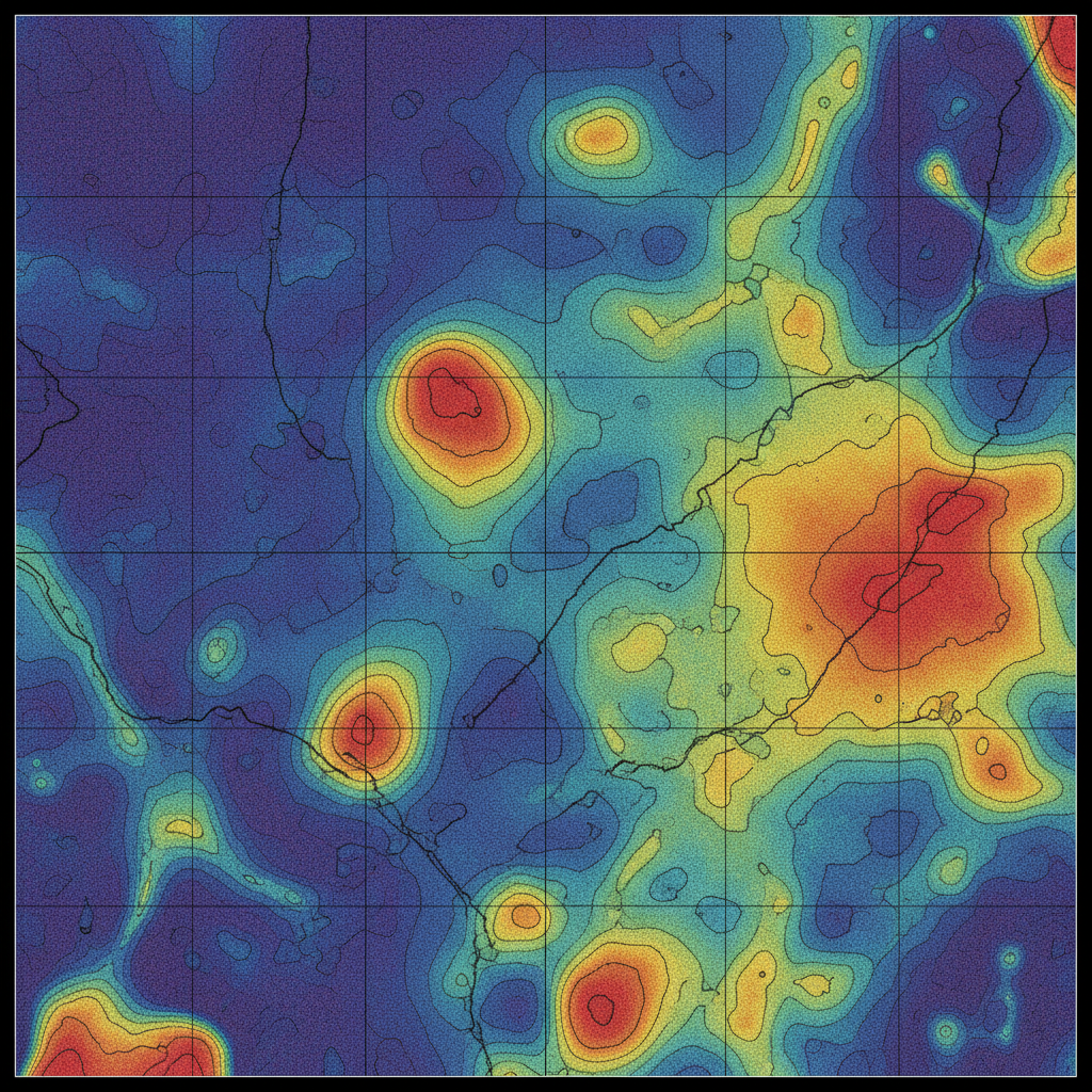
Structural targeting
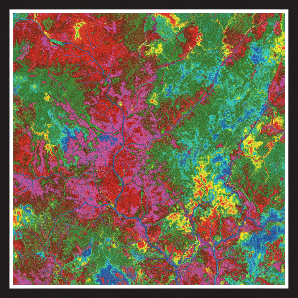
Lithology & alteration
Map your licence next.
Send us your concession and exploration target. We respond with a survey plan and pricing within 48 hours.