A survey grid can look complete on paper while leaving the decision-critical anomaly unresolved. That is the practical issue behind drone magnetometry vs ground geophysics. The choice affects more than mobilization cost or survey duration. It determines anomaly definition, depth confidence, field safety, access requirements, and whether the final interpretation can withstand technical and investment review.
For mineral exploration, utility corridor planning, groundwater investigations, and major infrastructure programs, the strongest answer is rarely that one method replaces the other. Drone magnetic surveys and ground methods operate at different scales and respond to different project constraints. Selecting the right method begins with defining the target, the required resolution, and the decision the data must support.
Drone Magnetometry vs Ground Geophysics: The Core Difference
Drone magnetometry measures variation in the Earth's magnetic field from a low-altitude airborne platform. A calibrated magnetometer, typically flown on a sensor boom or suspended system to reduce aircraft interference, acquires dense measurements along planned flight lines. After correction for diurnal variation, heading effects, platform noise, and terrain-related factors, the resulting magnetic field map can reveal structures, lithological contacts, faults, dikes, buried channels, ferrous infrastructure, and magnetic mineralization trends.
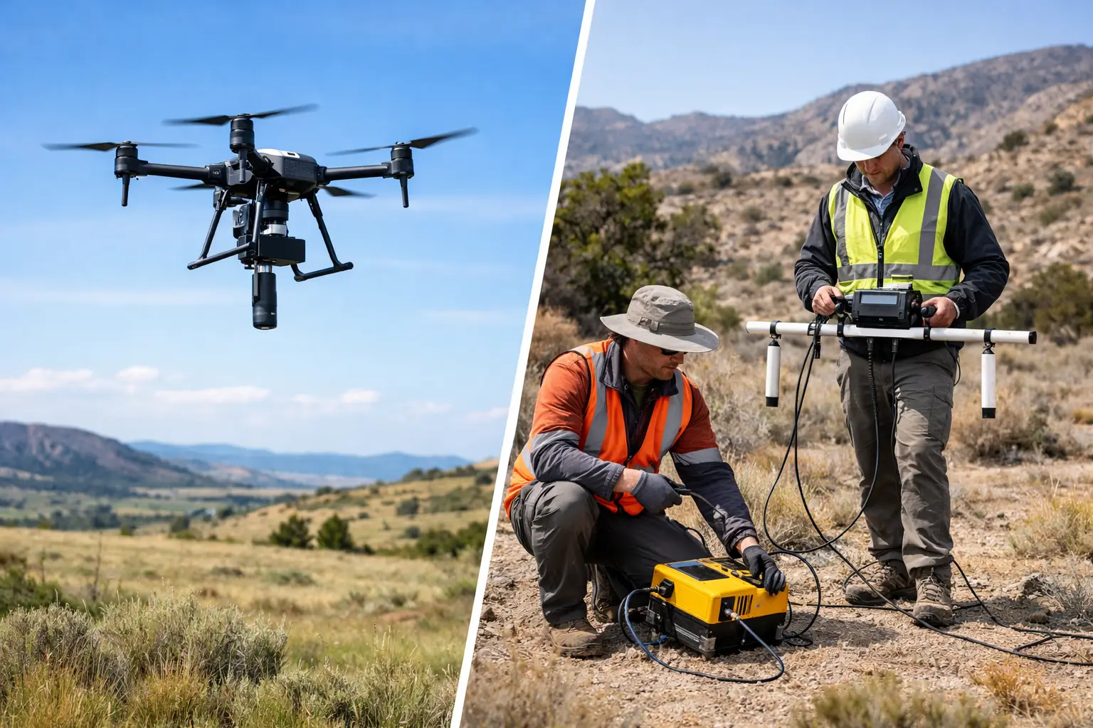
Ground geophysics is a broader category. It can include walking magnetometer grids, electromagnetic surveys, ground-penetrating radar, electrical resistivity tomography, induced polarization, seismic methods, and gravity measurements. These methods are conducted at or near the surface, often with tighter station spacing, direct control over local measurements, and the ability to select a technique matched to a specific physical property.
This distinction matters. A drone magnetic survey is not simply a faster version of every ground survey. It is a high-productivity method for characterizing magnetic response across extensive or difficult terrain. Ground geophysics may be required where the target is nonmagnetic, where shallow engineering detail is needed, or where a specific anomaly requires close-spaced confirmation.
Coverage, Speed, and Access
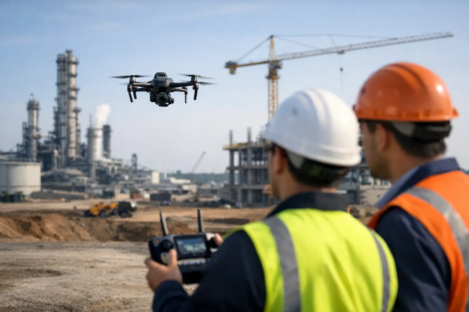
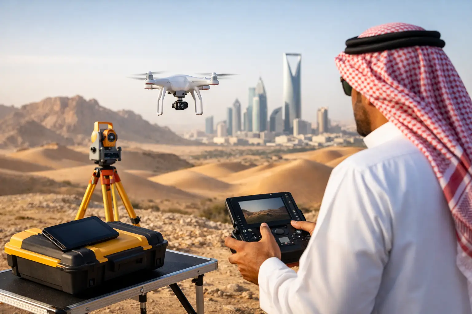
Coverage is the principal operational advantage of drone magnetometry. A drone can acquire systematic magnetic data over large areas without requiring crews to walk every line, clear access routes, or cross hazardous ground. This is particularly valuable in steep terrain, desert environments, waste rock areas, floodplains, restricted corridors, and sites with limited road access.
The benefit is not only faster data collection. It is better consistency over an area that could otherwise be sampled unevenly due to access constraints. Flight lines can be planned at controlled spacing, orientation, altitude, and speed, producing a coherent regional dataset. For early-stage exploration, corridor-scale utility screening, and broad structural mapping, that consistency can materially improve the first interpretation.
Ground acquisition remains valuable where access is available and the survey area is limited. A ground magnetic grid can provide very dense local sampling, especially over a compact target. It can also be deployed selectively after airborne results identify priority zones. However, the productivity gap becomes substantial as the area expands. Walking grids demand more personnel, longer field exposure, greater logistical support, and careful line control to maintain coverage quality.
For projects under schedule pressure, the relevant comparison is not flight time against walking time alone. It is total time from mobilization to decision-grade deliverable. That includes permissions, access preparation, field execution, base station control, processing, QA/QC, interpretation, and reporting.
Resolution Is Controlled by More Than Sensor Spacing
A common assumption is that ground surveys always deliver better resolution because the sensor is closer to the source. In many local cases, that is correct. Magnetic field intensity attenuates with distance from the causative body, so a sensor close to the ground can detect small, shallow anomalies with greater amplitude.
But resolution is governed by the full acquisition design. Drone altitude above terrain, line spacing, sample rate, sensor sensitivity, navigation accuracy, flight stability, cultural noise, and processing discipline all influence the usable result. A low-altitude terrain-following drone survey with tightly spaced lines can produce high-definition magnetic imagery over ground that would be costly or unsafe to traverse manually.
Ground data has its own limitations. Measurements can be affected by vehicles, fences, pipelines, power systems, buried scrap, and operator movement. In developed areas, an apparently detailed ground grid may capture more cultural interference than geological signal. The survey design must therefore account for the magnetic environment rather than relying on the method label alone.
For engineering and utility applications, magnetometry also has clear boundaries. It may identify ferrous utilities, buried debris, or disturbed ground, but it does not provide universal utility detection. Nonmetallic pipes, voids, moisture pathways, and subsurface layering often require electromagnetic, GPR, resistivity, or other complementary methods.
Altitude and terrain clearance
Drone platforms must maintain safe terrain clearance while preserving low, controlled sensor altitude. On undulating terrain, poor terrain following can create variable sensor height that changes anomaly amplitude and complicates interpretation. Accurate terrain models, conservative flight planning, and experienced pilots are therefore part of geophysical quality control, not merely aviation compliance.
Ground crews do not face the same altitude issue, but they must contend with obstructions, inaccessible slopes, loose surfaces, heat exposure, and line deviation. In both methods, terrain is an acquisition variable that must be documented and managed.
Data Quality: The Difference Between a Map and Defensible Intelligence
Raw magnetic readings are not an interpreted geoscience product. Whether data is acquired by drone or on foot, it must be calibrated, corrected, checked, and documented before it can support drilling, design, or investment decisions.
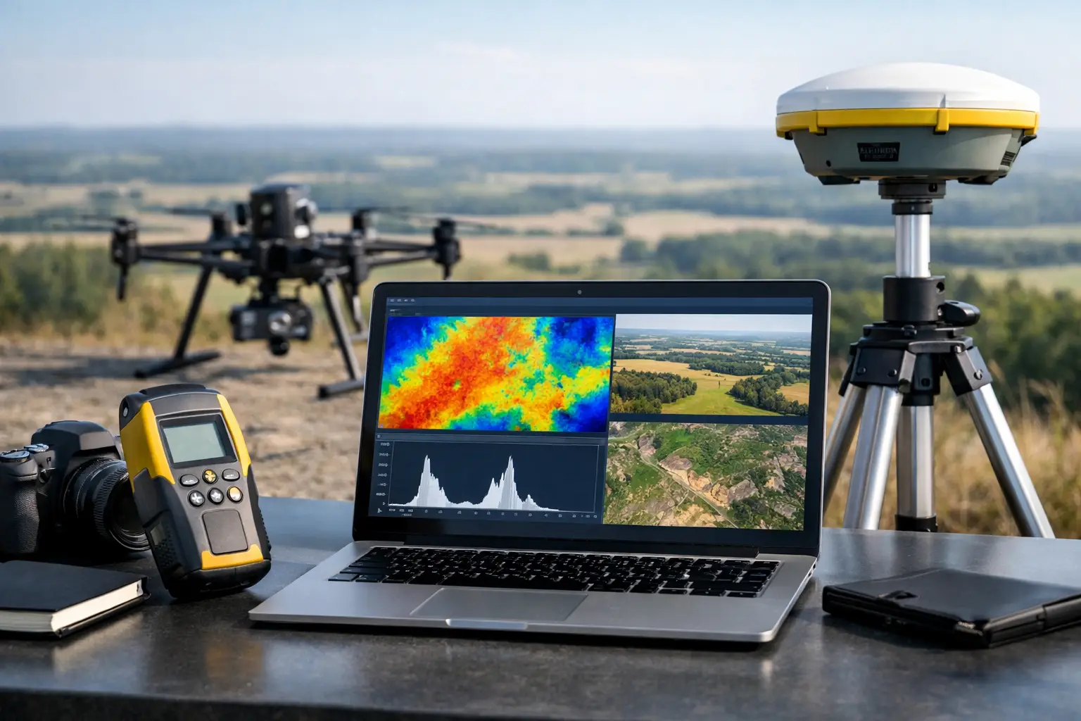
A disciplined drone magnetometry workflow includes pre-survey platform characterization, sensor compensation, base-station recording, flight-line and tie-line design, real-time mission monitoring, post-flight validation, diurnal correction, removal of residual platform effects, leveling, micro-leveling where justified, and final grid generation. Each stage should be traceable through flight logs, calibration records, processing parameters, and QA/QC reports.
Ground magnetic surveys require comparable discipline. Station control, base-station corrections, repeat readings, line orientation, instrument height, operator procedures, and cultural-noise observations must be controlled. If multiple crews are used, repeatability checks are essential. The final dataset should allow a technical reviewer to understand what was measured, where it was measured, and how it was processed.
This is where project teams should evaluate providers beyond sensor specifications. A highly sensitive instrument cannot compensate for poor altitude control, incomplete coverage, weak navigation data, inconsistent corrections, or undocumented processing. Air Solutions treats airborne acquisition, geophysical processing, and interpreted reporting as one controlled delivery chain, with outputs designed for auditability rather than visualization alone.
When Drone Magnetometry Is the Better First Move
Drone magnetometry is usually the more efficient first-stage method when the objective is to screen a broad area for magnetic structures or prioritize targets for follow-up. It is particularly effective for regional fault mapping, structural interpretation, delineation of magnetic lithologies, reconnaissance over inaccessible terrain, and pre-construction assessment of extensive corridors.
It is also well suited to sites where conventional manned-aircraft surveys are disproportionate to the required area or cannot be mobilized on the project schedule. Low-altitude drone acquisition can close the scale gap between sparse regional airborne data and labor-intensive ground grids.
The method is less suitable as a standalone solution when the target property is not magnetic, when dense near-surface engineering detail is the primary requirement, or when aviation restrictions prevent practical flight operations. It should also be used cautiously near strong cultural magnetic sources unless the survey objective is specifically to map those sources.
When Ground Geophysics Should Lead
Ground methods should lead where the investigation requires direct near-surface detail, localized confirmation, or measurement of a property other than magnetism. A utility investigation may require GPR and electromagnetic locating. A groundwater program may need resistivity or electromagnetic data to characterize conductivity contrasts and potential saturated zones. A geotechnical investigation may call for seismic or resistivity methods to assess rippability, weathering, depth to bedrock, or void risk.
Ground geophysics is also the appropriate follow-up where drone magnetometry identifies an anomaly but cannot establish its cause with sufficient confidence. Magnetic data can indicate a target, but it may not distinguish between mineralization, a mafic dike, buried metallic debris, or industrial infrastructure without geological context and complementary evidence.
The Most Effective Model Is Often Sequential
For high-value projects, the practical model is broad airborne screening followed by targeted ground investigation. Drone magnetometry establishes the structural and magnetic framework quickly. Ground geophysics then tests priority anomalies with a method selected for the expected target response. Geological mapping, sampling, drilling, LiDAR terrain data, and photogrammetry can further constrain the interpretation.
This sequence reduces unnecessary ground coverage while preserving the detailed investigation needed before design or drilling commitments. It also allows procurement teams to phase expenditure according to uncertainty: acquire broad evidence first, then concentrate effort where the data changes the decision.
The correct choice is therefore not based on whether a drone is newer or a ground crew is closer to the surface. It is based on target physics, required confidence, terrain, access, schedule, and the consequence of being wrong. A calibrated survey design that combines the right sensor with traceable QA/QC will deliver more value than either method applied as a default.