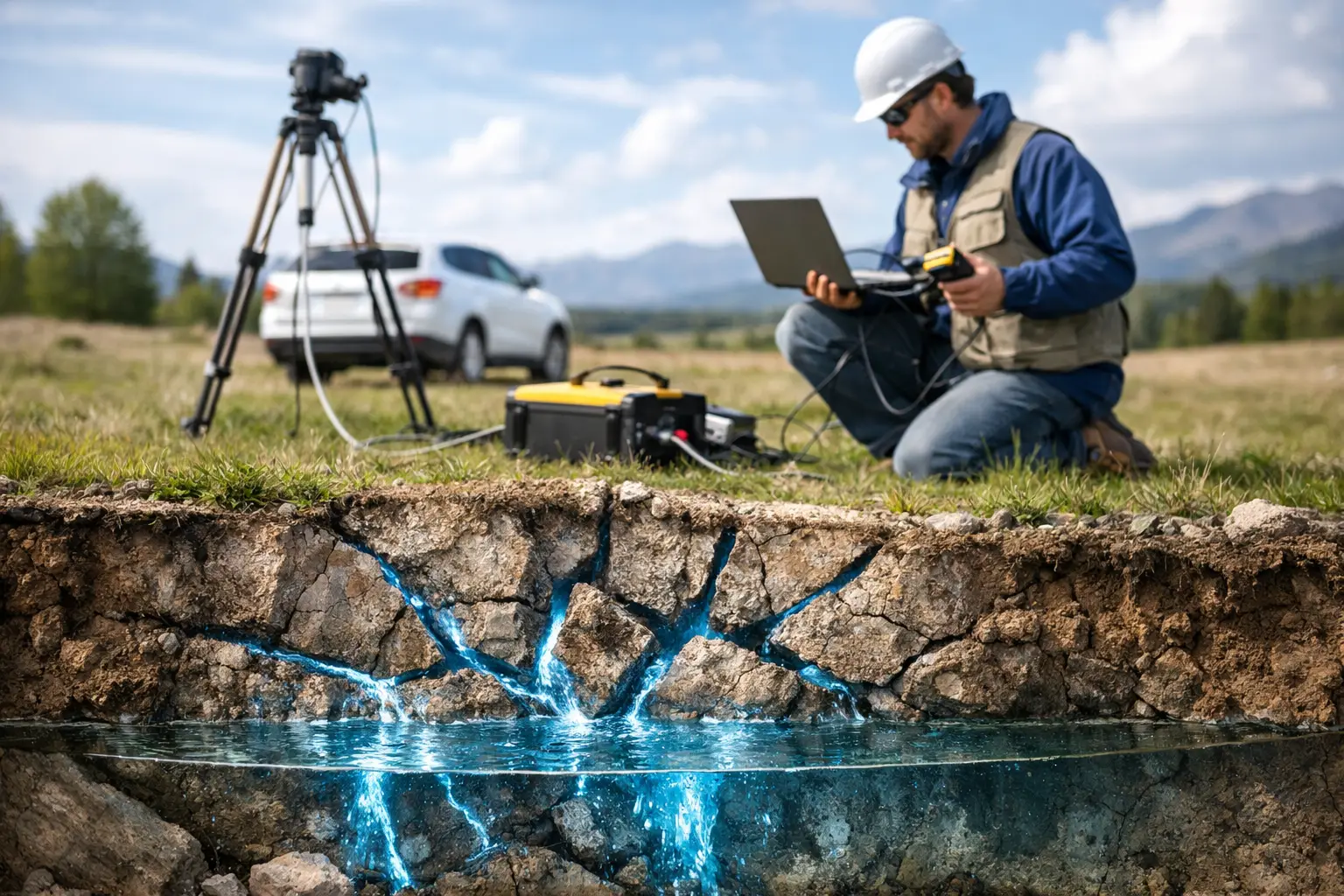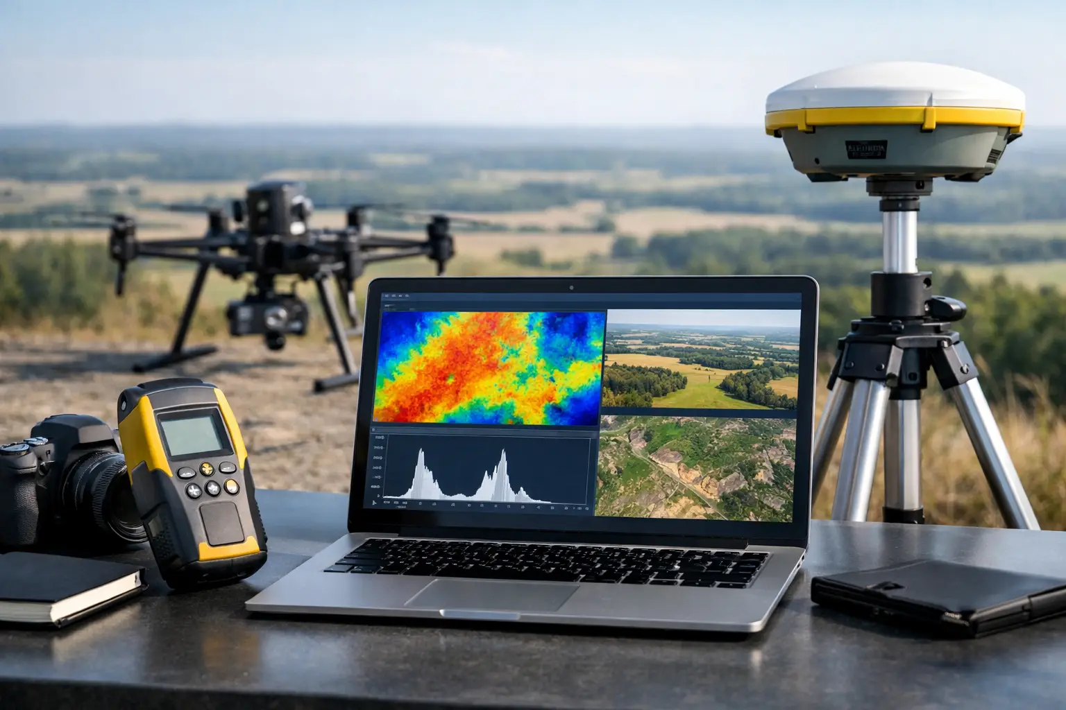
A radiometric survey becomes decision-grade only after the airborne count data has been corrected, calibrated, and evaluated against the conditions under which it was acquired. This guide to radiometric survey processing explains the workflow that converts drone-borne gamma-ray measurements into auditable potassium, uranium, and thorium products for exploration, terrain assessment, and environmental screening.
Raw gamma counts are not maps of geology. They contain the combined effects of natural terrestrial radiation, cosmic background, aircraft and payload response, changing flight height, atmospheric radon, and survey geometry. Processing must separate those influences without removing the geological signal that matters to the project.
What radiometric processing is designed to deliver
Airborne radiometric surveys measure gamma radiation emitted during the decay of naturally occurring isotopes. In practical terms, the processing objective is to estimate ground concentrations or relative abundances of potassium (K), equivalent uranium (eU), and equivalent thorium (eTh), while documenting the assumptions and uncertainty behind every output.
For a mining program, these products can help identify alteration systems, felsic lithologies, regolith boundaries, structural corridors, and areas where uranium or thorium may be enriched. For infrastructure and environmental teams, radiometric patterns can support material characterization, baseline mapping, borrow-source assessment, and the discrimination of geological units beneath sparse exposure.
The appropriate output depends on survey design and intended use. A reconnaissance program may prioritize regional concentration grids and ternary composites. A target-generation survey usually requires tighter line spacing, terrain-aware corrections, detailed QA/QC reporting, and integration with magnetic, electromagnetic, LiDAR, or hyperspectral datasets.
Start with acquisition traceability
Processing quality cannot compensate for weak acquisition control. Before any correction is applied, the project team must verify the source dataset, including sensor configuration, calibration status, flight logs, navigation data, terrain model, line plan, and meteorological observations.
Each gamma event record should remain traceable to its acquisition time, position, altitude, heading, and spectral channel. This traceability is particularly significant for drone operations, where low terrain clearance can improve spatial resolution but also makes the data more sensitive to rapid height variation, obstacle avoidance, and local topographic relief.
A controlled data intake review typically confirms time synchronization between the gamma spectrometer and GNSS/IMU systems, verifies planned versus achieved line spacing, identifies incomplete lines or altitude excursions, and flags periods affected by payload instability. The aim is not to force every line into the final product. It is to identify data that requires correction, reflight, qualification, or exclusion.
Spectral stabilization and energy calibration
Gamma-ray spectrometers classify detected photons by energy. The characteristic windows used to estimate K, eU, and eTh must remain aligned with their target photopeaks throughout the survey. Temperature changes, electronic drift, and detector response can shift these peaks over time.
Energy calibration stabilizes the spectral data so that a count assigned to a channel at the start of the mission remains physically comparable to a count recorded later. Depending on the instrument and survey procedure, this may involve fixed reference peaks, dynamic peak tracking, or post-flight spectral alignment. A poor energy calibration can produce false variation between lines and compromise isotope separation before the geological interpretation even begins.
The core corrections in radiometric survey processing
The correction sequence should be documented and applied consistently, with intermediate datasets retained for audit. The exact sequence varies by sensor, platform, terrain, and processing specification, but several corrections are fundamental.
Background and non-terrestrial radiation removal
The detector records radiation that does not originate from the ground immediately beneath the aircraft. Cosmic radiation contributes a high-energy background that changes with altitude and atmospheric conditions. Aircraft or drone components may also contribute a measurable platform background, particularly where payload mounting, shielding, or battery configuration affects the detector environment.
These components are quantified through calibration procedures and subtracted or modeled before ground concentrations are estimated. Radon is a separate concern. Airborne radon daughters can create a variable uranium-channel signal that looks geological if it is not recognized. Survey teams should collect sufficient monitoring information to detect radon-related variation and assess whether a correction is justified by the data quality objective.
Altitude and terrain correction
Gamma radiation attenuates rapidly in air. A sensor flying higher above ground will record lower count rates than the same sensor flying at lower clearance over identical material. This makes accurate terrain clearance one of the most consequential variables in the workflow.
Height correction uses GNSS, radar or laser altimetry, and a validated digital terrain model to normalize counts to a nominated survey height. In steep terrain, the problem is not only vertical distance. Slopes change the detector's field of view, and nearby elevated ground may contribute more radiation than flat-earth assumptions predict.
Terrain corrections should therefore be selected to match the survey environment. A regional desert plain may support a relatively simple approach, while rugged outcrops, wadis, escarpments, and engineered cuts require more detailed topographic treatment. Applying an overly complex correction to low-quality elevation data can add artifacts rather than remove them.
Compton stripping and channel separation
Gamma rays from one radionuclide can scatter and register in the energy window of another. Without correction, potassium, uranium, and thorium channels are not independent measurements. Compton stripping uses established stripping ratios, ideally confirmed through calibration, to remove this spectral overlap.
The resulting estimates are often expressed as percent K, parts per million eU, and parts per million eTh. The term equivalent is deliberate: uranium and thorium are inferred from gamma-emitting daughter products and assume radioactive equilibrium. Where equilibrium is disturbed by weathering, groundwater movement, or recent redistribution, eU and eTh must be interpreted as radiometric proxies rather than direct laboratory assays.
QA/QC that makes the outputs defensible
A processed grid can look geologically plausible and still fail operational scrutiny. Quality assurance must test whether line-to-line continuity, repeatability, noise level, and correction performance meet the approved specification.
The following controls are particularly valuable for enterprise survey programs:
- Repeat lines and cross-lines to quantify directional bias and assess line leveling.
- Statistical review of residuals, channel noise, altitude correlation, and anomalous values.
- Map-based inspection for striping, edge effects, navigation offsets, and terrain-linked artifacts.
- Comparison of corrected concentrations against ground spectrometry, samples, or known geological control where available.
Leveling adjusts systematic differences between adjacent flight lines and tie lines. Micro-leveling can reduce residual line noise, but it must be used with discipline. Excessive filtering may suppress narrow geological anomalies, especially where the target is structurally controlled or spatially discontinuous. The processing specification should define what filtering is acceptable, which parameters were used, and whether the effect on anomaly amplitude was assessed.
Cross-validation is equally important when multiple sensing modalities are available. A radiometric boundary that coincides with magnetic texture, elevation change, or hyperspectral mineral response has a more defensible geological basis than an isolated color change on a single grid. It does not automatically prove a target, but it improves prioritization for field verification.
Gridding, visualization, and interpretation
Once corrected and leveled, data is interpolated into grids at a cell size appropriate to line spacing, sample interval, flight altitude, and target scale. A small grid cell does not create additional resolution. It can create a misleading impression of precision if it is finer than the survey sampling supports.
Core deliverables normally include individual K, eU, and eTh grids, total count data, ratio products such as eU/eTh and K/eTh, ternary color composites, flight-path data, and a processing report. Ratio maps require careful masking in low-count areas because small denominators can create exaggerated responses. These products should retain consistent projections, units, color scales, and metadata so that they can be compared directly within a GIS or integrated interpretation environment.
Interpretation should proceed from geological context, not from color alone. High potassium may indicate potassic alteration, but it can also reflect potassium-rich lithology, transported material, or cultural influence. Elevated eU may be significant, yet it may also reflect near-surface redistribution along drainage or groundwater pathways. The strongest interpretations combine radiometric signatures with mapped geology, structural data, geochemistry, and complementary airborne datasets.
Processing decisions should follow the project question
There is no universal processing recipe. For mineral exploration, preserving subtle local contrasts may take precedence over broad regional smoothing. For a linear infrastructure corridor, positional consistency, terrain correction, and clear reporting of material variability may matter more than maximum anomaly sensitivity. In arid environments, low vegetation can improve ground response, while rugged relief and highly variable surface materials can increase the need for terrain-aware processing.
Air Solutions approaches radiometric processing as an auditable technical workflow rather than a visualization exercise. The objective is a calibrated dataset that technical teams can interrogate, defend in review, and use to direct the next engineering or exploration decision.
The most useful final product is not the most colorful ternary image. It is the one that clearly states what was measured, what was corrected, where uncertainty remains, and which anomalies justify action in the field.