A desert survey can fail long before the first flight line is flown. In Saudi Arabia, excessive heat, magnetic noise, poor ground control, access restrictions, and weak processing discipline can turn an apparently complete dataset into evidence that cannot support a drilling, routing, water, or engineering decision. Knowing how to survey Saudi deserts means designing an acquisition program around the decision at stake, then controlling every stage from reconnaissance through final interpretation.
For mining, water resources, infrastructure, utilities, and energy projects, the objective is not simply to collect aerial imagery or sensor readings. It is to produce calibrated, traceable, and fully auditable geospatial intelligence that can be cross-validated against geology, existing records, boreholes, field observations, and engineering constraints.
Start With the Decision, Not the Sensor
A survey specification should begin with a clear decision question. Is the project seeking structurally controlled groundwater targets, concealed mineralization, a corridor for linear infrastructure, terrain constraints for a megaproject, or buried utilities at an industrial site? Each question drives the required resolution, sensor selection, line spacing, altitude, control framework, and level of interpretation.
A broad reconnaissance campaign may prioritize coverage and regional structural context. A drill-targeting program requires tighter line spacing, lower terrain clearance, repeatable magnetic compensation, and stronger integration with ground geology. A construction survey may place greater weight on LiDAR-derived terrain models, photogrammetric orthomosaics, utility risk, and engineering coordinate control.
This distinction matters commercially. Collecting more data than necessary increases flight hours and processing time. Collecting data at the wrong resolution can create false confidence and force costly rework. The right program is proportionate to the decision risk.
Build a Desert-Ready Survey Design
Saudi desert terrain is not operationally uniform. Sand seas, basaltic harrats, wadis, escarpments, coastal plains, and remote mountain belts create different navigation, sensing, communications, and access conditions. A desktop review should establish terrain relief, land status, known infrastructure, restricted areas, available mapping, satellite imagery, geology, expected ground conditions, and safe launch and recovery locations.
The flight design must account for terrain-following capability, planned sensor altitude, overlap requirements, turning radii, battery logistics, communications coverage, and emergency landing options. In remote areas, field teams also need a practical plan for vehicle access, spares, power generation, shade, water, and daily heat management.
Define the coordinate and control strategy
A defensible survey begins with one coordinate reference system and a documented vertical datum. This is especially important where new airborne data must align with legacy mapping, engineering designs, drill collars, cadastral boundaries, or national datasets.
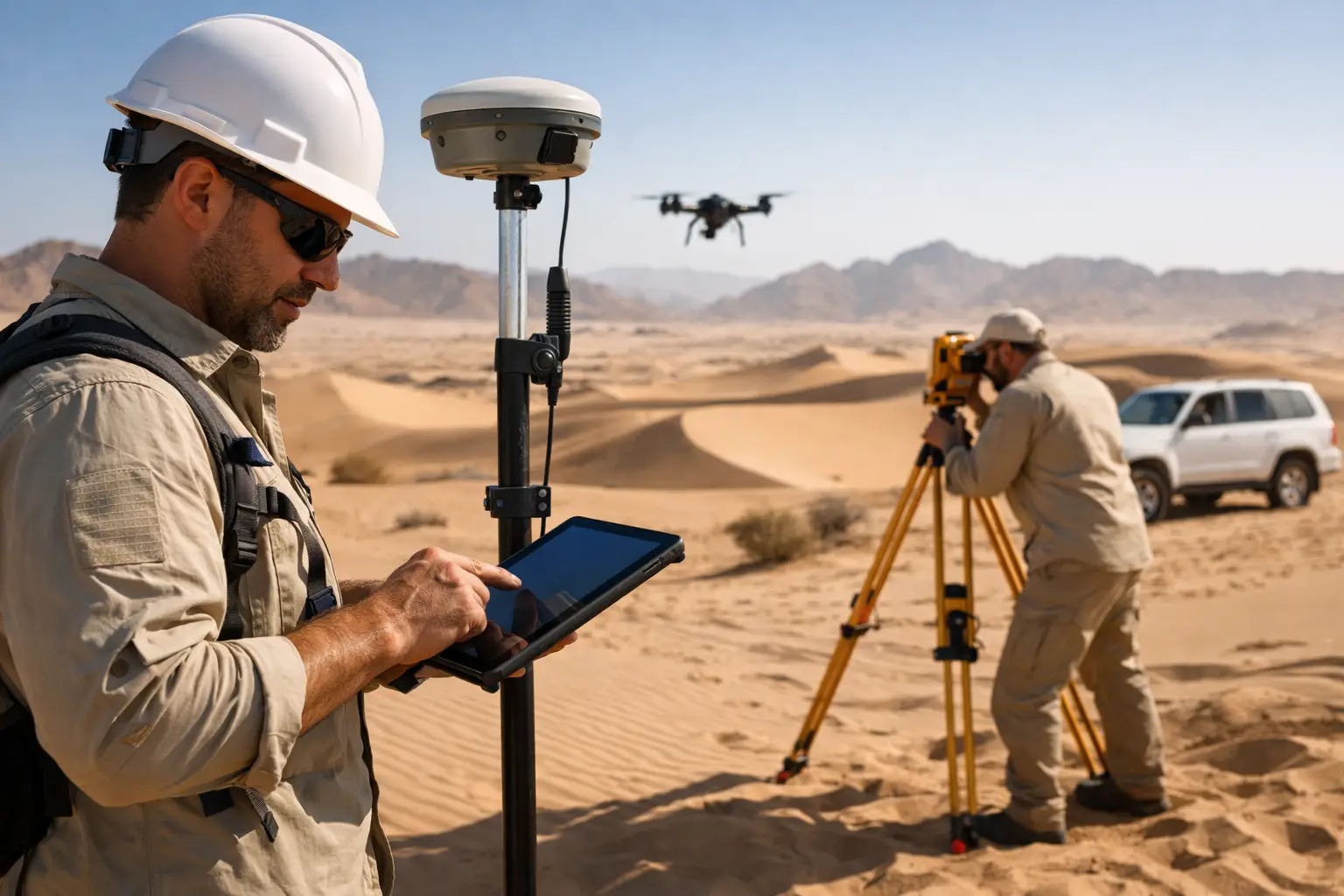
For photogrammetry and LiDAR, ground control points and independent check points should be established using survey-grade GNSS procedures. Their placement should represent the full project area, including elevation extremes and peripheral zones, rather than clustering control near convenient road access. In extensive or inaccessible terrain, post-processed kinematic GNSS, aerial targets, and carefully designed check-point networks may reduce ground effort, but they do not eliminate the need for independent accuracy validation.
Match line geometry to the geology or asset
Flight lines should be oriented to maximize the response from the feature of interest. For magnetic and electromagnetic surveys, traverses are commonly planned perpendicular to the expected structural or geological strike, with tie lines crossing them at regular intervals. This geometry supports leveling, correction analysis, and more reliable interpretation of subsurface trends.
For terrain mapping, line direction is influenced by topography, sun angle where imagery quality is critical, wind, and required overlap. For utility or corridor work, the survey layout must preserve continuous coverage along the route while allowing enough margin to identify off-alignment constraints such as drainage features, access tracks, structures, and encroachments.
Select Sensors as a System
No single sensor answers every desert survey question. Multi-sensor programs are often more valuable because they allow independent evidence streams to be compared rather than relying on one ambiguous anomaly.
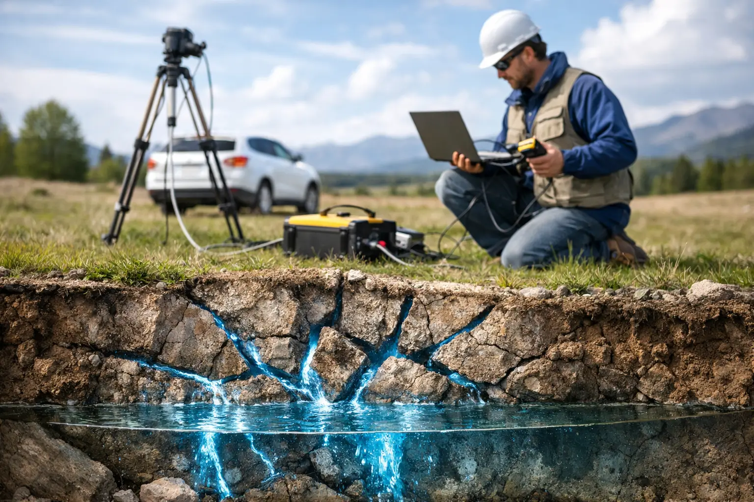
Aeromagnetic data can identify lithological boundaries, faults, dikes, basement architecture, and magnetic alteration patterns beneath shallow cover. Electromagnetic methods can help characterize conductive zones relevant to groundwater, salinity, alteration, or infrastructure conditions. Radiometric surveys can support geological mapping where near-surface materials are exposed and conditions are suitable.
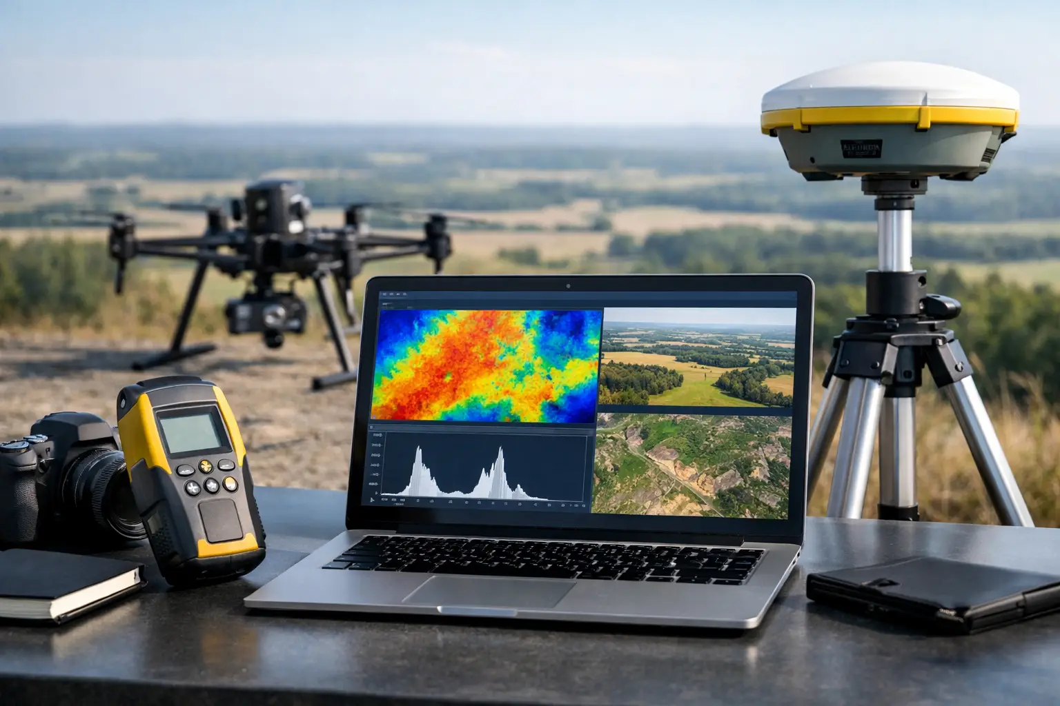
LiDAR provides high-density terrain and surface models that retain detail across complex relief and sparse vegetation. Photogrammetry delivers high-resolution orthomosaics, textured models, and visual context at efficient coverage rates. Hyperspectral imaging may support mineral and surface-material discrimination when acquisition conditions, calibration, and ground verification are properly controlled. Ground-penetrating radar and utility detection are appropriate where the target is shallow, site access permits ground deployment, and soil conditions support the method.
The trade-off is operational complexity. Adding sensors can improve interpretive confidence, but it also increases payload integration, calibration requirements, mission duration, data volumes, and QA/QC burden. The specification should justify each modality against a defined project risk.
Control Heat, Dust, and Desert Operations
Desert conditions affect aircraft performance and data quality. High ambient temperatures reduce battery efficiency and can impose thermal limits on sensors, onboard processors, and GNSS equipment. Dust can contaminate optics, obscure targets, interfere with cooling, and accelerate wear on moving components. Strong winds and convective turbulence may compromise image sharpness, terrain clearance, and stable sensor attitude.
A disciplined field plan sets operating windows based on aircraft limits, sensor requirements, wind thresholds, and thermal loading. Batteries should be stored and managed within approved temperature ranges, then tracked through a documented cycle history. Optical payloads require inspection and cleaning procedures between missions. For sensitive geophysical systems, pre-flight checks, base-station monitoring, calibration runs, and repeat lines should be treated as part of acquisition, not as optional contingencies.
Field teams should also establish clear go/no-go criteria. A schedule does not justify flying through conditions that will invalidate data or create an avoidable safety exposure. Repeatable quality is more valuable than nominal coverage completed under marginal conditions.
Manage Permissions, Airspace, and Site Interfaces
Drone operations in Saudi Arabia require project-specific planning around applicable aviation requirements, operator authorizations, airspace restrictions, site access rules, and security protocols. Industrial facilities, border regions, critical infrastructure, and government-controlled areas can introduce additional permissions and operational constraints.
These requirements should be resolved before mobilization, not during a field campaign. The project file should define responsible parties, approved operating areas, aircraft and payload details, flight windows, communications procedures, emergency response actions, and data-handling requirements. For enterprise clients, this documentation is part of delivery assurance. It demonstrates that the survey was executed under controlled conditions and that the resulting data has a clear operational provenance.
How to Survey Saudi Deserts With Defensible QA/QC
Quality control must run continuously from mission planning through processing. Waiting until final deliverables are assembled is too late to recover missing tie lines, poor overlap, corrupted GNSS trajectories, sensor drift, or inconsistent altitude.
During acquisition, crews should review flight tracks, coverage, terrain clearance, image overlap, GNSS status, base-station observations, sensor health, and daily data completeness. Geophysical datasets require checks for diurnal variation, heading effects, line noise, leveling quality, repeat-line agreement, and anomalous data gaps. LiDAR and photogrammetry require accuracy checks against independent control, inspection of point-cloud density, and review for shadows, blur, occlusions, or reconstruction artifacts.
Processing should preserve the chain of custody from raw files to final products. That includes raw-data archives, calibration records, processing versions, transformation parameters, QA/QC results, and documented exclusions. A client should be able to understand not only what a map shows, but how it was produced and where its limitations lie.
Convert data into interpreted outputs
Raw point clouds, magnetic grids, orthomosaics, and conductivity models are not decision-grade on their own. Their value emerges when they are integrated with the project context.
For a groundwater program, interpreted outputs may include structural lineaments, catchment relationships, potential recharge pathways, conductive zones, ranked target areas, and recommended ground verification. For mineral exploration, the deliverables may define magnetic domains, fault corridors, alteration patterns, target polygons, and prioritized follow-up work. For infrastructure, the focus may be terrain constraints, drainage pathways, cut-and-fill context, route risks, utility indicators, and survey accuracy statements.
Interpretation must distinguish observed evidence from inferred conclusions. A mapped anomaly is not automatically an aquifer, orebody, void, or buried service. Clear confidence rankings and recommended verification steps protect project teams from overextending the dataset.
Plan Verification Before You Mobilize
The strongest desert surveys are designed with a follow-on verification path already in place. That may include field mapping, sampling, shallow geophysics, test pits, boreholes, water-quality testing, or engineering investigation. Airborne acquisition rapidly narrows a large and expensive search area. Verification converts priority zones into investable decisions.
Air Solutions applies this operating model by combining desert-ready drone acquisition with multi-sensor interpretation and documented QA/QC. The result is not a folder of disconnected files, but a controlled technical evidence base suited to mining, water, energy, and infrastructure decisions.
A well-executed Saudi desert survey should leave the project team with more than coverage. It should establish where uncertainty remains, what the data supports with confidence, and the most efficient next action to reduce risk.