A magnetic anomaly that disappears after leveling, an electromagnetic response caused by aircraft interference, or a LiDAR surface offset by a few decimeters can change the direction of an exploration or engineering decision. QAQC for airborne geophysics is therefore not a reporting formality. It is the controlled system that determines whether airborne measurements can be trusted as decision-grade evidence.
For mining, groundwater, utilities, energy, and major infrastructure programs, the standard is higher than a visually clean map. Project teams need calibrated measurements, documented flight execution, repeatable processing, and an auditable connection between the final interpretation and the sensor record. That requirement is particularly acute for drone-based surveys, where rapid mobilization and low-altitude acquisition create major advantages but demand disciplined management of terrain clearance, navigation, sensor behavior, and platform noise.
What QAQC for Airborne Geophysics Must Prove
A defensible program must prove four things: the sensor was operating within specification, the aircraft collected the planned coverage under acceptable conditions, processing did not introduce untracked distortions, and the final products are fit for their intended use.
These are related but not interchangeable tests. A calibrated magnetometer does not compensate for poorly spaced lines. Accurate GNSS positioning does not correct an electromagnetic system operating outside acceptable altitude or attitude limits. A technically sound grid can still be misleading if it is interpreted without considering cultural interference, geology, terrain effects, or the survey's resolution limits.
The appropriate acceptance thresholds depend on survey purpose. Regional reconnaissance may prioritize consistent broad coverage and anomaly discrimination. A detailed mineral target, buried utility corridor, groundwater investigation, or engineering site characterization generally requires tighter positional control, denser line spacing, lower terrain clearance, and more frequent cross-validation. QA/QC should be specified around the decision the data must support, not copied from a generic checklist.
Start With a Measurable Survey Design
Quality is established before mobilization. The survey specification should define the target signal, expected feature scale, sensor modality, line orientation, line and tie-line spacing, planned altitude, terrain-following approach, positioning method, and acceptable environmental conditions. It should also identify exclusion zones, cultural noise sources, power infrastructure, access constraints, and aviation requirements.
For aeromagnetic acquisition, line direction should be selected with the anticipated geology and structural strike in mind. Tie lines should be sufficient to test line-to-line consistency and support leveling. For electromagnetic surveys, the design must account for transmitter-receiver geometry, system altitude, coupling behavior, and the depth and conductivity range being investigated. For radiometric surveys, ground clearance and acquisition speed directly affect count statistics and spatial resolution.
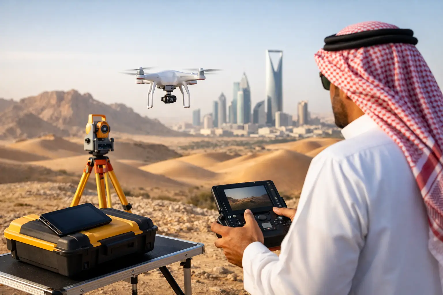
Drone platforms add another design layer. Payload weight, endurance, vibration isolation, electromagnetic compatibility, communications reliability, and battery-change procedures all affect repeatability. A platform that flies the route is not automatically suitable for geophysics. Its sensor integration and interference profile must be characterized before production acquisition begins.
Calibration, Compensation, and Baselines
Calibration is not a single event. It is a documented sequence of pre-mobilization checks, field verification, and post-flight confirmation. The exact method varies by sensor, but the objective is consistent: establish a known baseline and detect drift before it becomes embedded in production data.
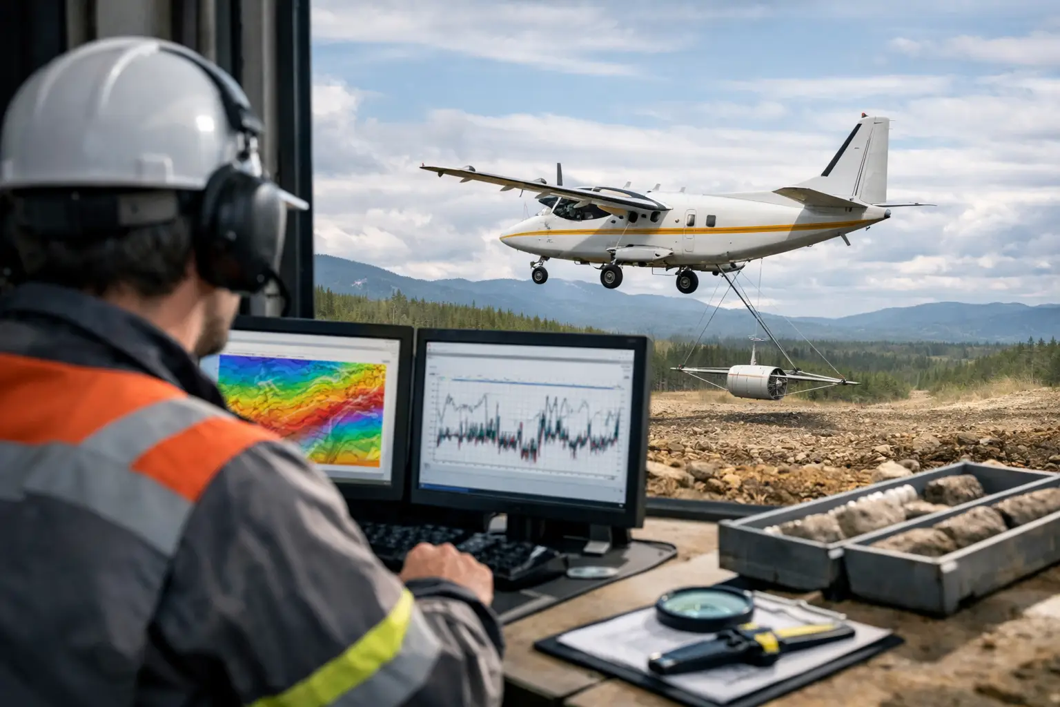
Magnetic surveys require careful assessment of heading error, aircraft-generated magnetic interference, sensor noise, and diurnal variation. Compensation flights and controlled maneuvers help quantify platform effects. A base station, placed away from local magnetic contamination, records temporal variation so the airborne data can be corrected against the appropriate reference.
Electromagnetic systems require transmitter stability, receiver-channel verification, timing validation, and noise-floor assessment. LiDAR requires calibration of boresight alignment, GNSS and inertial measurement unit performance, and range accuracy. Photogrammetry requires lens characterization, camera settings, ground control strategy, and overlap verification. The common principle is traceability: each calibration result must be linked to the instrument, platform configuration, operator, date, and survey block.
Control Quality During Acquisition, Not After It
Post-processing can identify deficiencies, but it cannot recreate data that was never acquired correctly. Field QA must operate as an active control loop while the crew can still refly a line or correct a system issue.
Operators should review production data at defined intervals rather than waiting until the end of the campaign. For airborne geophysics, this includes actual versus planned flight paths, altitude above terrain, line spacing, speed, heading stability, GNSS solution quality, sensor health, data completeness, and environmental observations. In desert environments, heat load, wind, dust, and thermal effects on batteries and electronics warrant explicit monitoring because they can affect both flight performance and sensor stability.
Tie lines and repeat lines are among the strongest field controls. They provide direct evidence of repeatability and reveal line-related shifts, navigation offsets, altitude effects, or transient noise. A repeat line should not be treated as wasted production time. It is a quality measurement with commercial value because it establishes whether the observed response is geological, environmental, or operational.
Data gaps, turns, excessive pitch or roll, abrupt altitude excursions, and GNSS degradation should be flagged against predefined thresholds. The correct response may be a targeted refly, a rejected segment, or a documented processing treatment. What matters is that the disposition is recorded. Silent corrections create uncertainty that technical reviewers and regulators cannot audit.
Processing QA/QC Is Where Traceability Is Won or Lost
Processing must preserve the original records while producing a controlled chain of derived datasets. Each major transformation should be reproducible: raw-data ingestion, time synchronization, navigation processing, sensor correction, filtering, leveling, gridding, inversion where applicable, and interpretation.
For magnetic data, processing commonly includes diurnal correction, removal of system effects, compensation, leveling to tie lines, micro-leveling where justified, and regional field treatment appropriate to the survey objective. Each step can improve interpretability, but each also carries a risk. Aggressive filtering may suppress short-wavelength noise while also weakening genuine shallow targets. Micro-leveling can reduce residual lineation but can create artifacts if applied without reference to geology and acquisition geometry.
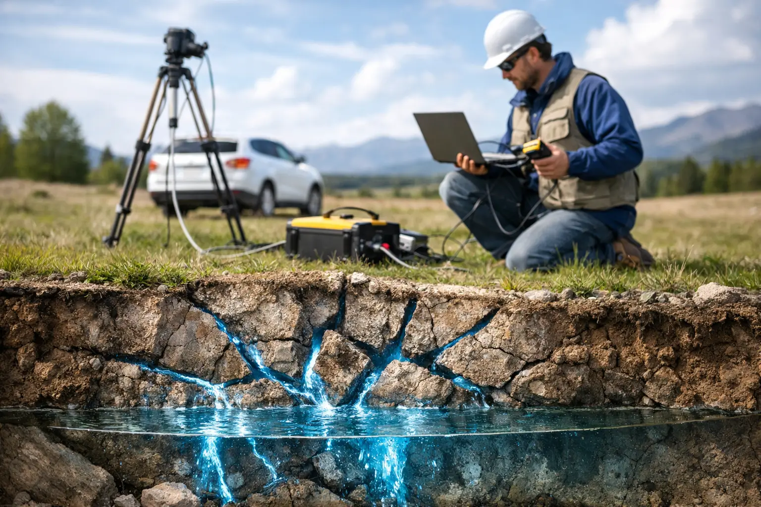
For electromagnetic data, QA/QC should examine channel consistency, waveform integrity, altitude sensitivity, noise rejection, coupling effects, and inversion stability. A smooth conductivity section is not necessarily a correct one. The model must remain consistent with measured responses, system sensitivity, survey geometry, and available geological or borehole constraints.
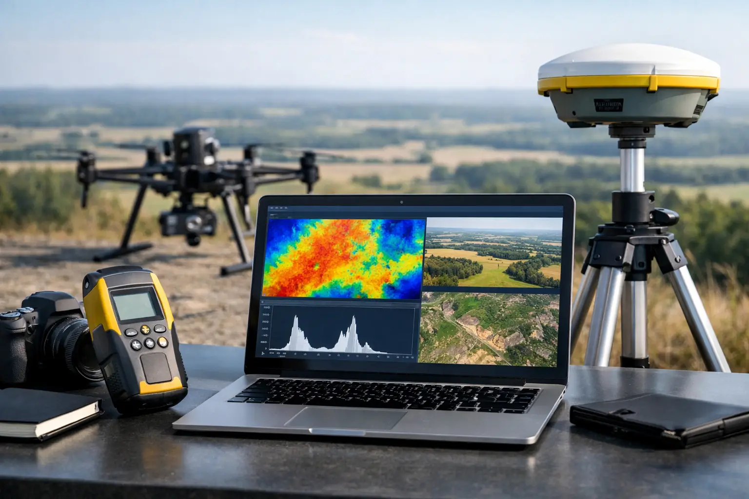
LiDAR and photogrammetric workflows require independent checks on positional accuracy, point-cloud density, overlap, strip alignment, control residuals, and surface classification. For multisensor projects, cross-validation is especially valuable. A magnetic lineament, terrain break, and hyperspectral alteration signature may strengthen the geological case when they align spatially. If they do not, the discrepancy should be investigated rather than averaged away.
Independent Checks and Acceptance Reporting
A mature QA/QC process separates production monitoring from independent review. The project team should assess whether the delivered dataset meets the agreed specification using evidence that can be inspected by the client or a third-party technical reviewer.
An acceptance package typically includes flight logs, sensor and platform configurations, calibration records, base-station data where relevant, coverage maps, repeat-line statistics, tie-line residuals, navigation and altitude summaries, processing parameters, rejected-data registers, and final accuracy statements. It should also state the limitations of the dataset plainly. For example, conductive overburden may reduce electromagnetic depth discrimination, while cultural magnetic noise can limit confidence near infrastructure.
This documentation protects both the client and the survey contractor. It turns a collection of files into an auditable technical deliverable that can support investment committees, resource models, engineering design, permit submissions, and follow-on drilling or ground investigations.
The Business Value of Disciplined QA/QC
The cost of re-flying a failed block is usually manageable when detected early. The cost of advancing a false target, mislocating a utility, or designing around an unverified terrain model is not. QA/QC reduces this exposure by identifying uncertainty at the point where it can still be controlled.
It also improves program speed. When acquisition, processing, and acceptance criteria are established in advance, technical teams spend less time debating data status after delivery. Air Solutions applies this discipline across drone-based magnetic, electromagnetic, LiDAR, photogrammetric, and integrated geospatial programs, with traceable outputs structured for operational and technical review.
The practical test is straightforward: can a project geologist, engineer, or independent reviewer trace a mapped feature back through the processing history to calibrated measurements acquired under known conditions? When the answer is yes, airborne geophysics becomes more than a rapid survey method. It becomes evidence that can carry the weight of a high-value decision.