A survey can be technically excellent and still fail its commercial purpose if the flight, sensor data, and reporting trail cannot withstand regulatory, contractual, or engineering review. Drone survey compliance is therefore not an administrative task completed before mobilization. It is an operating discipline that controls how an airborne dataset is authorized, acquired, calibrated, protected, and delivered.
For mining, utilities, water, energy, and major infrastructure programs, the consequence of noncompliance extends beyond a delayed flight. It can invalidate a survey corridor, interrupt site operations, create unacceptable safety exposure, or leave project teams unable to defend a planning or investment decision. The required standard is not simply legal flight. It is auditable technical execution.
What Drone Survey Compliance Actually Covers
Drone operations are subject to aviation rules, but a compliant industrial survey must satisfy several control layers at once. Airspace authorization, aircraft registration, pilot qualifications, and operational permissions form the aviation layer. Site access rules, contractor onboarding, work permits, and emergency procedures form the project layer. Then comes the data layer: sensor calibration, positional control, QA/QC, processing documentation, data security, and deliverable acceptance criteria.
These layers are interdependent. A valid flight authorization does not establish that LiDAR point density met the engineering brief. A calibrated magnetometer does not resolve an unapproved operation near restricted infrastructure. Likewise, a visually impressive orthomosaic may be unsuitable for design if its ground control, coordinate reference system, or accuracy statement is undocumented.
The practical question for a project owner is simple: can every material decision in the survey workflow be traced to an approved method, a recorded observation, or a validated result? If not, the deliverable may be useful for reconnaissance, but it is not yet decision-grade.
Start With a Compliance Basis, Not a Flight Plan
The flight plan is a downstream document. Before it is produced, the survey contractor and project owner should define a compliance basis that translates the scope into operational controls. This starts with the survey objective. Mapping an aggregate stockpile, locating buried utilities, characterizing groundwater potential, and acquiring aeromagnetic data for exploration each carry different risk, accuracy, processing, and reporting requirements.
The compliance basis should identify the operating jurisdiction, applicable aviation authority requirements, airspace classification, site restrictions, and any approvals required from asset owners or security authorities. It should also define whether the mission can be conducted under standard operating rules or needs a specific authorization, such as beyond visual line of sight operations, flights near sensitive facilities, extended operating areas, or specialized payload deployment.
Industrial clients should avoid treating regulatory responsibility as a generic statement in a proposal. Request the operating assumptions in writing. A serious submission identifies who holds each approval, which restrictions apply, the validity period, operational limitations, and the contingency if conditions change. This is particularly important on linear corridors, remote desert sites, active mines, and projects adjacent to airports, pipelines, power transmission assets, or controlled facilities.
Aviation Compliance Must Be Site-Specific
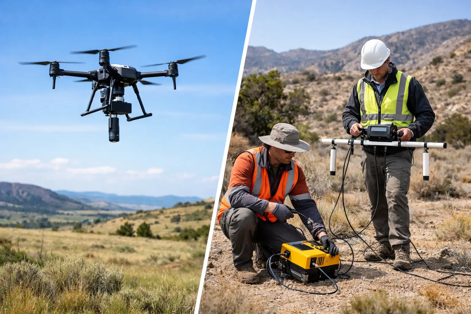
An aircraft and pilot may be fully qualified while the proposed operation remains unacceptable at a particular site. Industrial environments introduce hazards rarely captured in a standard commercial drone checklist: crane activity, blast zones, high-voltage lines, radio interference, dust, heat loading, moving plant, security perimeters, and concurrent work fronts.
A site-specific risk assessment converts these conditions into controls. It establishes takeoff and landing zones, sterile areas, crew roles, communications protocols, weather limits, lost-link actions, emergency landing areas, and separation from personnel and equipment. It also defines stop-work authority. When wind, visibility, aircraft status, or site conditions exceed approved limits, the crew stops. Schedule pressure is not a mitigation measure.
For high-value assignments, the risk assessment should be tied directly to the method statement and daily flight records. That linkage matters during an incident review, but it also improves routine execution. It shows that the operating team evaluated the actual environment rather than applying a generic template.
Data Compliance Is Where Survey Value Is Protected
A drone does not produce an engineering or geoscience result by itself. It produces observations that must be positioned, corrected, processed, and interpreted under a controlled methodology. This is the point where many low-cost survey programs become difficult to defend.
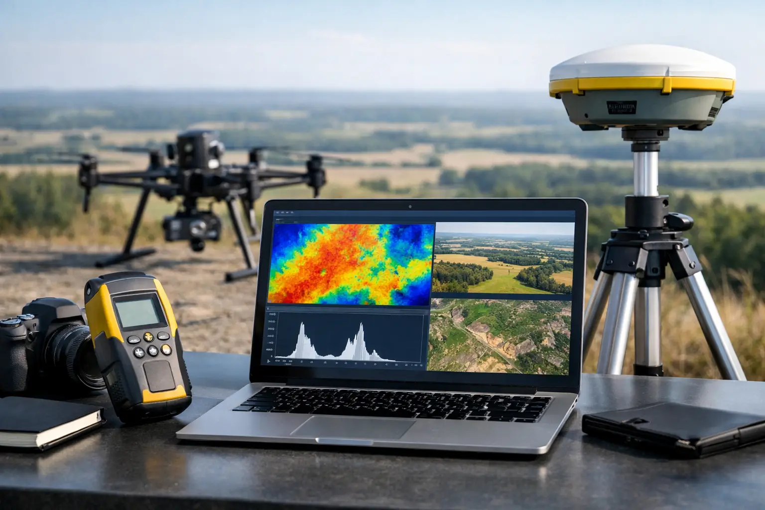
The required controls depend on the sensing modality. Photogrammetry programs need documented camera calibration, image overlap, ground control or RTK/PPK verification, and checks for blur, shadows, and insufficient texture. LiDAR work requires sensor calibration, trajectory quality review, boresight alignment, point classification controls, and independent accuracy testing. Magnetic, electromagnetic, radiometric, and hyperspectral surveys add further requirements for instrument checks, environmental monitoring, line spacing, altitude control, base station procedures, and correction workflows.
No single accuracy number is adequate for every project. Horizontal and vertical accuracy, relative and absolute accuracy, coverage completeness, point density, line spacing, and detection confidence answer different questions. A terrain model may meet a stated vertical tolerance while still missing narrow drainage features because the collection geometry or classification method was unsuitable. A utility survey may show an anomaly, but its confidence category and corroborating evidence determine whether an excavation team can act on it.
The deliverable should state what the data supports and what it does not. That is not a limitation of professional reporting. It is the basis for responsible use.
Build an Auditable Chain of Custody
Compliance continues after the aircraft lands. Industrial and government clients often need to know who collected the data, when it was acquired, what version was processed, what corrections were applied, and whether the final files are complete and unchanged. This is especially relevant where data informs resource evaluation, environmental baselines, asset condition, construction quantities, or public-sector planning.
A controlled chain of custody should preserve the relationship between raw observations and final interpretation. In practice, that means retaining original sensor files, flight logs, calibration records, control-point observations, processing parameters, QA/QC reports, and documented revisions. File names alone are not a traceability system.
The record set should normally include at least these distinct elements:
- Operational approvals, site permits, risk assessments, and daily flight records.
- Aircraft, payload, and sensor calibration or functional-check documentation.
- Ground control, positioning, and coordinate reference system records.
- Processing logs, quality checks, exceptions, corrective actions, and final acceptance evidence.
Data hosting and transfer controls also require attention. Survey information can reveal asset layouts, security-sensitive facilities, mineral targets, utility corridors, or critical water infrastructure. The appropriate security model depends on client policy and jurisdiction, but access control, encrypted transfer, retention periods, and ownership of raw and processed data should be defined before collection begins.
Drone Survey Compliance Needs Independent QA/QC
Self-checking is necessary, but it is not sufficient for complex work. The same team that acquires and processes a dataset can miss a systematic error, particularly where schedules are compressed or multiple sensor streams must be fused. Independent QA/QC introduces a second technical review of whether the data meets the approved specification.
That review should test more than file delivery. It should check coverage against the planned area, compare control and check points, inspect flight-line consistency, evaluate sensor performance, identify data gaps, and confirm that processing methods match the agreed workflow. For geophysical surveys, cross-validation may include line leveling checks, base station review, tie-line analysis, and comparison with available geological or ground data.
There is a cost trade-off. Independent review adds effort and can extend the reporting cycle. For a low-risk visual inspection, a lighter review may be proportionate. For exploration targeting, design modeling, regulatory baseline work, or critical asset decisions, the cost of a weak dataset is usually far greater than the cost of formal QA/QC.
Procurement Should Test Compliance Capability Early
Enterprise buyers should evaluate compliance evidence before award, not after an operator is already mobilized. The most useful questions are operational and specific: What approvals are required for this mission profile? Who is accountable for aviation compliance? How are sensors calibrated and checked? What independent accuracy testing is performed? What records will be delivered with the final dataset? How are anomalies, deviations, and re-flights managed?
Responses should be assessed for clarity, not length. A capable contractor can explain the controls, the applicable assumptions, and the boundaries of its responsibility without hiding behind broad statements about safety or quality. Air Solutions applies this approach by integrating flight authorization, desert-ready field controls, multi-sensor QA/QC, and interpreted reporting into a single documented survey workflow.
Compliance Is a Decision-Quality Requirement
The strongest drone survey programs do not treat compliance as a barrier to speed. They use it to make speed repeatable. Defined approvals reduce avoidable standdown time. Calibrated sensors reduce rework. Controlled processing reduces disputes over accuracy. Traceable reporting allows technical teams to use results with confidence across planning, engineering, and investment gates.
For project owners, the closing test is not whether a drone completed the mission. It is whether the resulting intelligence can be audited, defended, and acted upon when the project decision carries real operational and financial consequence.