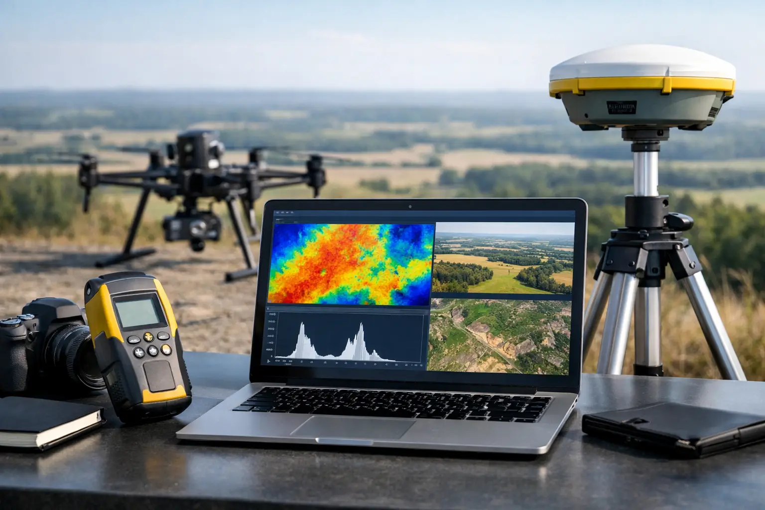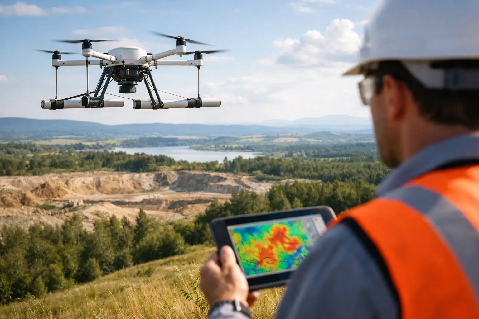
A buried fault zone can control a mineral system, disrupt a foundation corridor, or redirect groundwater flow without leaving a visible surface expression. Aerial magnetometry provides a fast, repeatable method for detecting the magnetic contrasts associated with these concealed features, converting airborne measurements into decision-grade structural intelligence.
For exploration, infrastructure, water, and energy projects, the value is not a colorful magnetic map alone. The value is a calibrated and traceable interpretation that helps technical teams decide where to drill, trench, route, investigate, or avoid. When deployed from a drone platform, magnetic surveying can be mobilized quickly, flown at low and consistent terrain clearance, and completed without exposing personnel to unnecessary field risk.
What Aerial Magnetometry Measures
Aerial magnetometry measures variations in the Earth's magnetic field caused by differences in the magnetic properties of underlying rocks, soils, buried materials, and engineered assets. Magnetite-rich lithologies, mafic dikes, basement structures, iron-bearing mineralization, and buried ferrous infrastructure can all produce measurable magnetic responses.
The sensor records total magnetic intensity along planned flight lines. That raw measurement is only the starting point. It contains the target response alongside regional field effects, temporal magnetic variation, aircraft or drone interference, heading effects, altitude variation, and noise introduced by operational conditions. A survey becomes useful when these influences are controlled, corrected, and documented through an auditable processing workflow.
In practical terms, magnetic data helps identify contrasts rather than directly proving geology. A linear anomaly may indicate a fault, dike, contact, pipeline, or cultural feature. A circular anomaly may reflect an intrusive body, buried ferrous object, or localized geological change. Interpretation must therefore be integrated with mapping, drilling, radiometrics, electromagnetic data, LiDAR, or existing geological control where available.
Why Drone-Based Aerial Magnetometry Changes Survey Economics
Conventional aeromagnetic surveys using crewed aircraft remain appropriate for very large regional programs. They are efficient when hundreds or thousands of square miles must be covered at a uniform specification. However, mobilization, airspace requirements, minimum operating costs, and terrain-clearance limitations can make crewed aviation disproportionate for smaller, complex, or rapidly evolving project areas.
Drone-based aerial magnetometry addresses a different operating requirement: high-resolution acquisition over focused targets, difficult terrain, active industrial sites, and areas where rapid deployment matters. Low-level flight profiles improve spatial resolution because the sensor is closer to the source. Terrain-following flight planning can also maintain more consistent sensor height, which reduces a major source of amplitude variation.
This does not mean lower altitude automatically produces better data. The flight height must remain safe, achievable, and appropriate for the expected target depth. A shallow engineering target may require tight line spacing and low terrain clearance. A deeper regional structure may benefit more from broader coverage, coherent tie-line control, and integration with regional datasets. Survey design should follow the decision required, not a default flight template.
For Saudi Arabian and Gulf-region projects, drone operations are particularly valuable where desert heat, remote access, rugged ground conditions, and compressed project schedules limit conventional field methods. Rapid mobilization can shorten the interval between target definition and acquisition, while reducing the need for extensive ground traverses across exposed or inaccessible terrain.
Aerial Magnetometry Survey Design Starts With the Decision
A technically defensible program begins by defining what the survey must resolve. Is the objective to map lithological contacts for mineral targeting? Delineate basement lineaments beneath sedimentary cover? Identify potential buried utilities before corridor construction? Constrain structural controls on groundwater? Each objective changes the required line spacing, flight direction, sensor configuration, coverage extent, and processing sequence.
Flight lines are generally oriented perpendicular to the expected geological strike or target trend. Tie lines are flown at a wider spacing to test line-to-line consistency and support leveling corrections. In structurally complex terrain, a single dominant orientation may not be sufficient. An experienced survey team will review known geology, topography, cultural interference, access restrictions, and expected anomaly wavelength before finalizing the flight plan.
Sensor placement is equally important. The magnetometer must be separated from the drone's magnetic sources through a suitable boom, tethered configuration, or platform-specific mounting arrangement. Aircraft compensation and pre-flight magnetic characterization are required to quantify residual platform effects. Poor configuration can create directional striping or false anomalies that appear geological but are actually operational artifacts.
A base station magnetometer is typically used to record temporal variation in the Earth's magnetic field during the flight. These observations support diurnal correction and provide a critical control record. Survey operations should also account for geomagnetic activity. Elevated magnetic disturbance can degrade data quality, and there are circumstances where pausing acquisition is the correct technical decision.
QA/QC Determines Whether the Data Is Defensible
The difference between a map and a decision-grade geophysical product is visible in the quality record. Aerial magnetometry requires disciplined controls from sensor calibration through final interpretation.
At minimum, the workflow should verify sensor performance, timing synchronization, positional accuracy, flight-line adherence, terrain clearance, base-station continuity, and repeatability over control segments. Tie-line intersections are reviewed for residual errors, while line profiles are inspected for spikes, heading-related noise, altitude-correlated effects, and cultural contamination. Reflights should be treated as a normal quality action when acceptance criteria are not met, not as an exceptional failure.
Processing commonly includes despiking, lag correction, diurnal correction, removal of the regional reference field where applicable, line leveling, micro-leveling, gridding, and derivation of analytical products. Reduction to pole, vertical derivatives, tilt derivatives, analytic signal, and upward continuation can improve structural interpretation, but each transform has limitations. Derivatives sharpen shallow features while also amplifying noise. Reduction to pole can be unstable at low magnetic latitudes or where remanent magnetization is significant. Products should be selected and explained in relation to the geological setting.
A fully auditable deliverable package should retain acquisition parameters, calibration records, flight logs, QA/QC results, processing settings, raw and corrected datasets, grids, profiles, maps, and interpretive outputs. This traceability allows a client technical team to evaluate confidence, reproduce the work where necessary, and integrate results into a broader geological or engineering model.
Where Magnetic Data Creates Operational Value
In mineral exploration, aerial magnetometry is commonly used to map faults, shear zones, intrusive contacts, greenstone belts, dikes, and concealed basement architecture. These features may control mineralization even when surface mapping is limited by cover or weathering. The strongest result is usually a ranked target model combining magnetics with geochemistry, remote sensing, electromagnetic response, and field validation.
For groundwater programs, magnetics can help define structural corridors, paleochannels, basement relief, and fracture-controlled zones that influence groundwater occurrence and movement. It does not measure water directly. Its role is to improve the geological model used to position follow-up hydrogeological investigation, boreholes, and complementary geophysical surveys.
Infrastructure and utility applications require a different interpretive discipline. Magnetic data can support route assessment by identifying buried ferrous features, historical disturbance, and bedrock structures that may affect design or construction risk. Dense cultural interference around active facilities can complicate results, so magnetic surveying should be planned alongside utility records, ground investigation, and other non-destructive methods rather than treated as a standalone clearance tool.
Oil and gas, energy, and industrial operators can also use magnetic data to support corridor planning, facility expansion studies, and broader structural assessment. The appropriate sensor suite may include LiDAR, photogrammetry, radiometrics, or electromagnetic methods when the decision requires terrain, surface, and subsurface evidence in one coordinated program.
Interpreted Outputs Matter More Than Raw Measurements
Raw magnetic readings are not a project outcome. Decision-makers need a clear account of what the data indicates, where confidence is high or limited, and what action should follow. That requires geophysical interpretation anchored to project context.
Air Solutions structures aerial magnetic programs around calibrated acquisition, documented QA/QC, and interpreted geoscience deliverables. The objective is to provide a technical basis for target prioritization, engineering planning, or field verification, with evidence that can withstand review by geologists, consultants, procurement teams, and project owners.
The most productive next step after a magnetic survey is rarely more mapping for its own sake. It is a focused validation program: field-check the key lineaments, test the highest-priority anomalies, correlate them with existing boreholes or outcrop, and use the results to refine the next acquisition phase. That is how airborne magnetic data moves from pattern recognition to a defensible operational decision.