An orthomosaic can look visually precise while failing the positional tolerance required for design, quantity verification, utility planning, or regulatory reporting. This guide to orthomosaic accuracy standards explains how to define, measure, and document accuracy so a drone mapping deliverable is defensible beyond the flight report.
For industrial projects, the relevant question is not whether an image is sharp. It is whether a surveyed feature can be located within a stated confidence level, against an identifiable coordinate reference system, using an auditable QA/QC process. That distinction separates a presentation map from decision-grade geospatial intelligence.
What Orthomosaic Accuracy Actually Measures
An orthomosaic is an aerial image corrected for camera geometry, terrain displacement, and perspective. Once processed, it is intended to support map-like measurement. Its practical accuracy is primarily horizontal: the difference between the mapped position of a point and its independently surveyed position on the ground.
Accuracy must not be confused with resolution. Ground sample distance, or GSD, describes the size of one pixel on the ground. A 2-centimeter GSD image can still have 10-centimeter positional error if georeferencing, camera calibration, terrain modeling, or processing controls are weak. Conversely, a coarser image may meet a project tolerance if it is acquired and controlled correctly.
The project specification should distinguish four related measures:
- GSD defines image resolution and the smallest feature that may be visually interpreted.
- Relative accuracy describes how consistently features align with one another within the orthomosaic.
- Absolute horizontal accuracy measures agreement with the approved project coordinate system.
- Vertical accuracy applies principally to the surface model used during orthorectification, not to the orthomosaic image alone.
- Completeness and usability confirm that the mapped area is free from unacceptable gaps, blur, distortion, shadow, or processing artifacts.
This distinction is material for EPC, mining, and infrastructure programs. A site team may accept a highly detailed orthomosaic for visual progress monitoring but require independently validated positional accuracy for earthworks quantities, right-of-way mapping, or as-built verification.
Guide to Orthomosaic Accuracy Standards: Start With the Decision
No single numeric threshold is correct for every orthomosaic. Accuracy standards must be derived from the decision the data will support, the tolerance of the underlying engineering or GIS workflow, and the risk of being wrong.
A reconnaissance map for regional drainage interpretation may be fit for purpose at decimeter-level accuracy. Construction layout verification, stockpile assessment tied to surveyed limits, or utility corridor planning may require materially tighter control. Where the orthomosaic will be overlaid with cadastral, design, LiDAR, GPR, or utility datasets, the allowable positional error should be established before mobilization.
A useful specification states the intended use, coordinate reference system, required GSD, required horizontal accuracy, confidence level, control-survey method, and acceptance test. It should also state whether the requirement applies to the full project area or only to defined zones such as road alignments, plant footprints, excavation boundaries, or inspection targets.
Avoid specifying only an altitude and a GSD. Flight altitude is an acquisition parameter, not an accuracy standard. It does not account for GNSS quality, camera performance, overlap, terrain complexity, control distribution, or the processing workflow.
Express Accuracy at a Stated Confidence Level
Accuracy claims need a statistical basis. Root mean square error, or RMSE, is widely used because it summarizes the magnitude of measured residuals. However, RMSE alone does not tell a project owner the error likely to be exceeded across most of the dataset.
For horizontal orthomosaic accuracy, many technical specifications use a 95% confidence expression, often described as CE95. Under a normal-error assumption, horizontal RMSE is converted to a radial 95% confidence value using an accepted statistical multiplier. The deliverable should clearly identify the reported metric rather than mixing RMSE, CE90, CE95, and maximum error as if they were interchangeable.
Established positional-accuracy frameworks, including ASPRS and NSSDA-derived reporting practices, provide useful terminology and reporting discipline. They do not remove the need for a project-specific acceptance threshold. A national mapping program, a mine plan, and a temporary construction monitoring survey carry different consequences for error.
Control Is the Primary Accuracy Lever
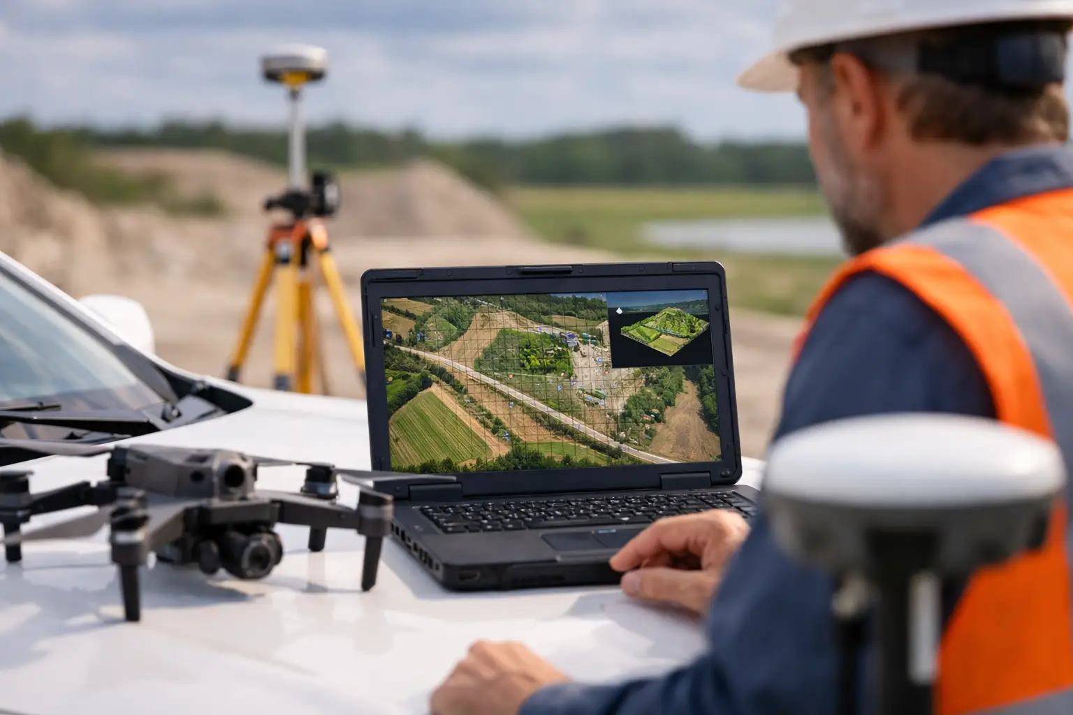
A calibrated RTK or PPK drone improves geotag accuracy and can reduce field-control requirements, but it does not eliminate the need for independent validation on mission-critical work. Direct georeferencing establishes the camera position with high precision. It does not independently prove that the final orthomosaic meets the requested accuracy after bundle adjustment, surface generation, and orthorectification.
Ground control points, or GCPs, constrain the photogrammetric model. Checkpoints validate it. These are different roles and should never be blurred in reporting. If every surveyed point is used as a GCP, the processing software can report small residuals without providing an independent test of final map accuracy.
For high-value projects, the control plan should address the following operational conditions:
- Use survey-grade GNSS methods tied to the approved project datum and geoid model.
- Place control across the full survey extent, including perimeter areas and meaningful elevation changes.
- Use durable, high-contrast targets that can be identified unambiguously in the imagery.
- Reserve well-distributed checkpoints that are excluded from all processing adjustments.
- Record control coordinates, observation methods, occupation durations, quality indicators, and datum transformations in the survey file.
Control density is not a fixed formula. A compact, flat site with consistent texture may perform well with fewer points than an elongated corridor, a high-relief quarry, or a site with repetitive sand, rock, or roof patterns. In desert operations, low-texture surfaces, heat shimmer, dust, and limited permanent features can make target design and control distribution especially consequential.
Acquisition Choices That Affect the Final Orthomosaic
Flight planning determines whether the processing model has enough geometric strength to meet the stated standard. Forward and side overlap must be selected for the terrain, camera, and surface character, not applied as a default setting. Complex terrain, vertical faces, vegetation, reflective surfaces, and linear assets generally demand more overlap and often benefit from oblique imagery.
Image quality is equally decisive. Motion blur, exposure variation, rolling-shutter effects, poor focus, and aggressive compression can introduce errors that are not apparent in a thumbnail review. A disciplined operation assesses shutter speed, ISO, focal consistency, GNSS status, wind conditions, and sun angle before and during capture.
Terrain representation is another common source of error. An orthomosaic is only as reliable as the elevation model used to remove relief displacement. Bare-earth projects require a terrain model appropriate to the surface condition. In areas with vegetation, stockpiles, structures, conveyors, or steep cut slopes, a surface model may be necessary for visual orthorectification, but feature displacement and occlusion must still be evaluated near elevated objects.
The correct approach is not always to fly lower. Lower altitude improves GSD but increases flight lines, processing volume, mission duration, and the opportunity for inconsistent lighting or wind-driven change. The acquisition design should satisfy feature-recognition needs and positional tolerance with a practical safety and production margin.
QA/QC Must Be Traceable, Not Merely Stated
A credible orthomosaic accuracy report provides the evidence required to reproduce the acceptance decision. It should identify the aircraft, sensor, camera calibration status, flight dates, processing software and version, coordinate reference system, control methodology, checkpoint methodology, and final error statistics.
Checkpoint results should be reported point by point, including east-west residual, north-south residual, horizontal residual, and any excluded observations with a technical justification. A single average can conceal localized failure. Error patterns near the project edge, at significant elevation transitions, or in areas with weak image geometry should be investigated rather than averaged away.
Visual QA/QC is also essential. Technical reviewers should inspect seamlines, ghosting, moving vehicles, water surfaces, shadows, building edges, terrain discontinuities, and areas of poor tie-point density. The map may pass checkpoint statistics while remaining unsuitable for specific interpretation tasks because of occlusion or image artifacts.
For integrated geospatial work, cross-validation adds another layer of assurance. Orthomosaic features can be compared against independently surveyed hardscape features, LiDAR intensity products, existing engineering control, or verified utility references where available. This is particularly valuable when data will enter a multi-sensor interpretation workflow rather than remain a standalone image product.
Define Deliverables Before the Aircraft Deploys
The most efficient time to resolve accuracy ambiguity is at the statement-of-work stage. A technically complete scope defines the area of interest, required pixel size, horizontal accuracy metric and confidence level, control and checkpoint responsibilities, accepted coordinate system, elevation reference, processing outputs, and reporting package.
It should also identify limitations. Orthomosaics are not a substitute for boundary surveys, legal cadastral determinations, or subsurface utility verification. They can support those programs, provide current visual context, and improve targeting of field investigations, but the deliverable must not be assigned a use beyond its validated accuracy and sensing capability.
Air Solutions applies this discipline by treating the orthomosaic as one controlled component of a broader geospatial deliverable, with acquisition metadata, survey control, processing records, and QA/QC evidence maintained for auditability. The outcome is not simply a detailed aerial image. It is a mapped product with a defined confidence boundary.
When an orthomosaic will influence capital allocation, engineering scope, or field safety, require the accuracy claim to be measurable, independently tested, and tied to the decision at hand. That requirement creates clarity for both the project owner and the survey team long before the first flight line is planned.