A mining target is not validated by a magnetic map alone. A groundwater prospect is not de-risked by terrain elevation alone. An infrastructure corridor is not constructible because imagery looks current. Geospatial intelligence is the controlled process that converts spatial measurements into decision-grade evidence: calibrated, cross-validated, interpreted, and documented for a defined operational question.
For project owners, the distinction is material. Raw data can show variation. Geospatial intelligence explains which variation matters, how confident the project team should be, and what action should follow. That difference affects drilling budgets, route selection, utility risk, environmental controls, inspection planning, and the defensibility of capital decisions.
Geospatial intelligence is more than mapping
Mapping records where features are located. Geospatial intelligence combines location with context, sensor physics, temporal change, and interpretation. It connects surface conditions to the subsurface, compares present conditions with design assumptions, and identifies anomalies that require further investigation.
A drone survey producing orthomosaic imagery, LiDAR point clouds, aeromagnetic readings, electromagnetic responses, radiometric measurements, or hyperspectral signatures is only the acquisition layer. Each modality has different sensitivity, resolution, depth of investigation, and limitations. The intelligence layer begins when those datasets are processed against a defined project objective and evaluated alongside geology, engineering drawings, borehole records, field observations, or historical survey data.
For example, an aeromagnetic survey may identify structural lineaments, lithological boundaries, or magnetic anomalies associated with prospective geology. Electromagnetic data may help distinguish conductive zones related to groundwater, saline conditions, clay-rich formations, or mineralized structures. LiDAR can establish precise terrain models and reveal drainage, fault scarps, stockpile volumes, and corridor constraints beneath sparse vegetation. None should be interpreted in isolation when a high-value decision depends on the result.
Why the operating model matters
The value of geospatial intelligence depends on the chain of custody from flight planning through final reporting. If survey control is weak, calibration is incomplete, or processing parameters cannot be reproduced, even visually persuasive outputs may not withstand technical review.
A disciplined program starts with the decision requirement. Is the objective to prioritize drill targets, define a groundwater exploration zone, map cut-and-fill quantities, detect potential utility conflicts, or establish baseline conditions before construction? The answer determines sensor selection, line spacing, flight altitude, ground control, quality thresholds, and the interpretation method.
This is where project teams often encounter a trade-off. Wider line spacing and higher flight altitudes reduce acquisition time and cost, but can suppress smaller or shallower features. Tighter spacing improves anomaly definition, yet may not be commercially justified across an entire concession or corridor. The correct design is rarely the maximum possible resolution. It is the resolution necessary to reduce a specific uncertainty at acceptable cost and schedule risk.
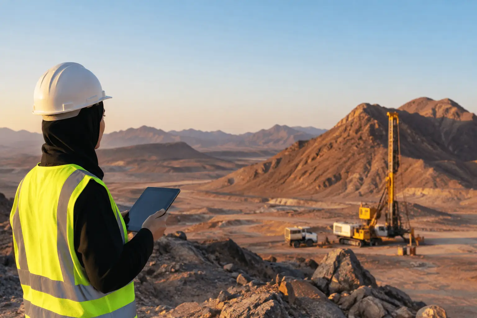
Desert and industrial environments add further variables. Heat, dust, wind, restricted airspace, electromagnetic interference, access limitations, and active operations can affect mobilization and data quality. Drone-based systems can mobilize faster than conventional aircraft or extensive ground crews, but rapid deployment does not remove the need for flight safety controls, sensor calibration, field checks, and clear operating procedures.
A controlled workflow from sensor to decision
Decision-grade outputs are built through a sequence of technical controls, not through software automation alone. A typical airborne geospatial intelligence workflow includes four connected stages:
- Survey design and mobilization: Define the area of interest, survey grid, sensor payload, flight parameters, control network, safety constraints, and acceptance criteria.
- Calibrated acquisition: Collect data using documented pre-flight checks, sensor compensation procedures, positioning verification, and field logs that preserve traceability.
- Processing and QA/QC: Correct positional, terrain, motion, diurnal, noise, and sensor effects as applicable. Review line consistency, coverage, data gaps, residual errors, and repeatability.
- Interpretation and reporting: Integrate datasets, classify anomalies or constraints, assign confidence levels, and deliver maps, models, GIS-ready layers, technical findings, and recommended next actions.
The exact workflow changes by modality. Magnetic data may require heading, lag, diurnal, and terrain-related corrections. Photogrammetry depends on image overlap, camera calibration, lighting conditions, and ground control quality. LiDAR requires point-cloud classification, strip alignment checks, and verification against independent checkpoints. For utility detection, field validation may remain necessary because material type, burial depth, congestion, and soil conditions can limit any sensing method.
A reliable deliverable makes these controls visible. It identifies coordinate reference systems, acquisition dates, equipment configuration, processing versions, accuracy metrics, exclusions, and interpretation assumptions. This documentation is not administrative overhead. It gives engineers, geologists, regulators, and procurement teams a basis to assess whether the result is fit for its intended use.
Where multi-sensor fusion creates an advantage
Single-sensor surveys answer narrow questions well. Multi-sensor data fusion becomes valuable when decisions cross surface, terrain, structural, material, and environmental conditions.
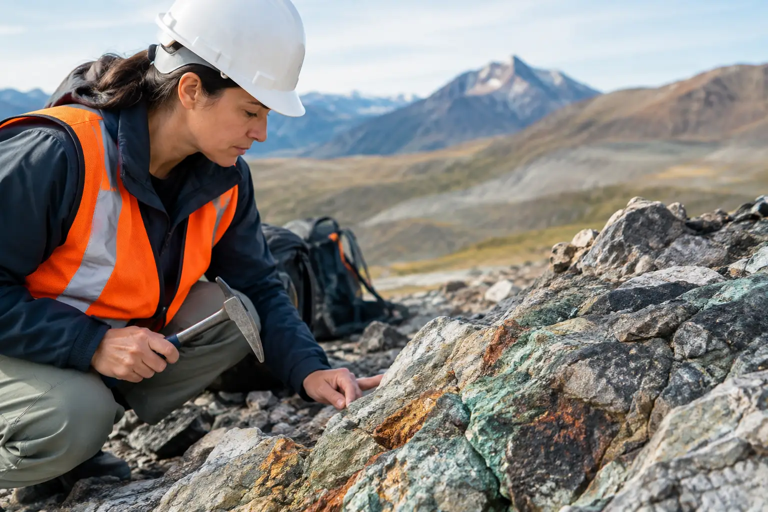
Consider a mineral exploration program. High-resolution magnetics can map structural trends and magnetic domains. Radiometrics can contribute information about near-surface lithology and alteration patterns. Hyperspectral imaging can indicate mineralogical or hydrothermal alteration signatures where surface exposure permits. LiDAR supplies a precise terrain base for structural interpretation and field access planning. When these sources are jointly interpreted with existing geology and geochemical results, the project team can rank targets with greater discipline than it could from any one layer.
For groundwater exploration, electromagnetic responses may indicate conductive zones, while magnetic mapping can help interpret basement structure and fault-controlled pathways. LiDAR-derived drainage and terrain analysis adds recharge and catchment context. The goal is not to claim that airborne data directly proves a sustainable water supply. It is to narrow uncertainty, identify the most defensible locations for ground investigation, and improve the placement of boreholes and geophysical follow-up.
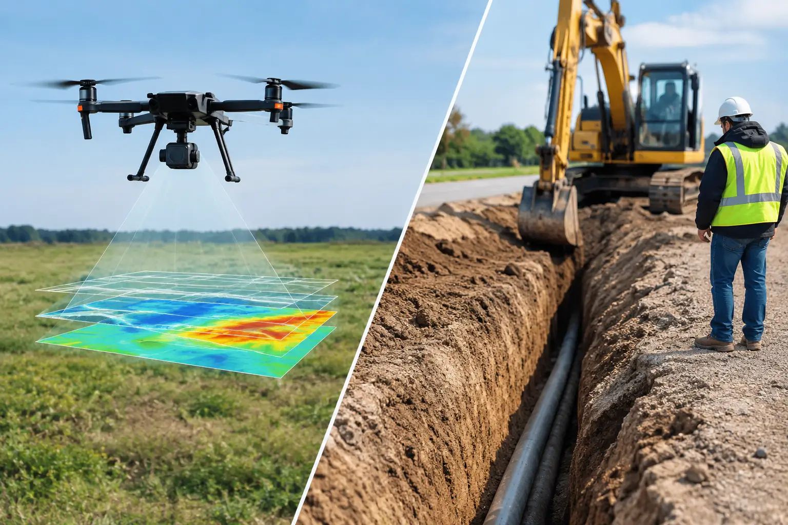
Infrastructure programs have a different requirement. Corridor-level LiDAR and photogrammetry can establish current terrain, access conditions, and construction interfaces. Thermal or hyperspectral sensing may support environmental screening in suitable applications. GPR and complementary utility detection methods can investigate localized buried-service risk, although confirmation through records, potholing, or other verification remains appropriate for critical assets. Intelligence is strongest when it clearly distinguishes detected evidence, interpreted probability, and items requiring validation.
Faster acquisition does not mean lower standards
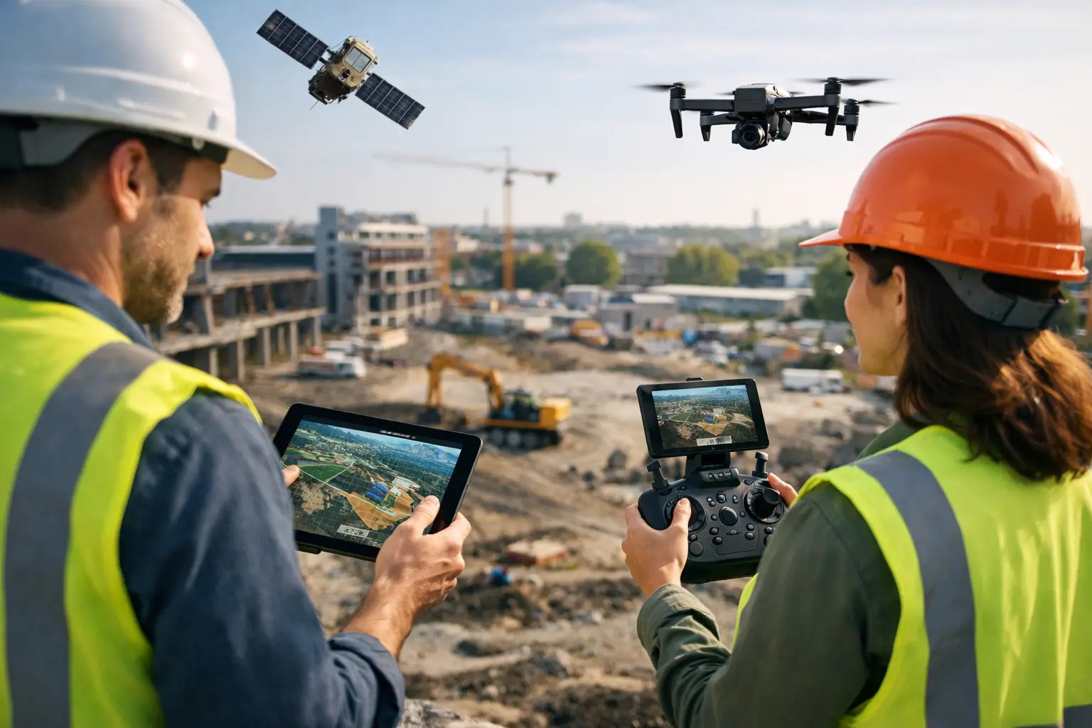
Enterprise buyers often seek drones because they reduce mobilization time, avoid some of the cost and logistical constraints of manned aircraft, and keep personnel away from hazardous terrain, confined spaces, or active industrial areas. Those are valid advantages, particularly for distributed sites and time-sensitive programs.
However, drones also impose constraints. Payload weight affects endurance. Terrain and airspace can constrain flight profiles. Very large regional surveys may still favor conventional aircraft for coverage efficiency. Dense vegetation, conductive infrastructure, saturated ground, and surface clutter can reduce the clarity of particular signals. A specialist contractor should state these limitations before acquisition, not after interpretation.
The right question is therefore not whether drone surveys replace every conventional method. It is whether a drone-based sensing architecture can produce the required resolution, accuracy, coverage, and evidence trail for the decision at hand. In many mining, water, energy, and infrastructure applications, the answer is yes. In others, drones are best deployed as a rapid, high-resolution complement to ground and manned-aircraft programs.
What decision-makers should require
Technical procurement should evaluate more than aircraft type and sensor specifications. The critical issue is whether the provider can translate sensing capability into a controlled deliverable that project teams can use.
Ask how the survey design is tied to the decision objective. Ask which calibrations, corrections, and independent checks are performed. Request examples of QA/QC reporting, coordinate control, metadata, anomaly classification, and uncertainty statements. Confirm whether the final package includes interpreted findings and GIS-compatible deliverables, rather than only raw files or visual maps.
For strategic programs in Saudi Arabia and the wider Gulf, sector fluency also matters. Mining targets, water-resource investigations, utility corridors, and major development sites operate under different technical, environmental, and reporting expectations. Air Solutions applies drone-based multi-sensor acquisition and interpreted geoscience workflows to produce traceable outputs suited to those project realities.
The most useful next step is to define the decision that cannot wait for uncertainty to persist. Once that decision is specific, a properly designed geospatial intelligence program can establish what to measure, what to verify on the ground, and where the next unit of project capital should be deployed.