A mineral target in Saudi Arabia is no longer evaluated only by its geology. It is evaluated by how quickly it can be screened, how defensibly its data can be traced, and whether the resulting program can support investment, licensing, drilling, and eventual mine development. Saudi mining exploration trends increasingly reflect this higher operating standard: broader regional targeting is being paired with more disciplined, decision-grade data acquisition.
For exploration managers and project owners, the implication is clear. The competitive advantage is not simply access to prospective ground. It is the ability to reduce uncertainty early, prioritize drilling with confidence, and maintain an auditable technical record from airborne survey through geological interpretation.
Why Saudi Mining Exploration Trends Are Changing
Saudi Arabia's mining strategy is creating a larger and more active exploration pipeline across base metals, gold, industrial minerals, phosphate, bauxite, and minerals associated with energy-transition supply chains. The Arabian Shield remains a central focus because of its prospective volcanic, intrusive, and structural terrains. At the same time, exploration activity is extending beyond established occurrences toward district-scale targeting, concealed mineral systems, and areas where historical data are incomplete or inconsistent.
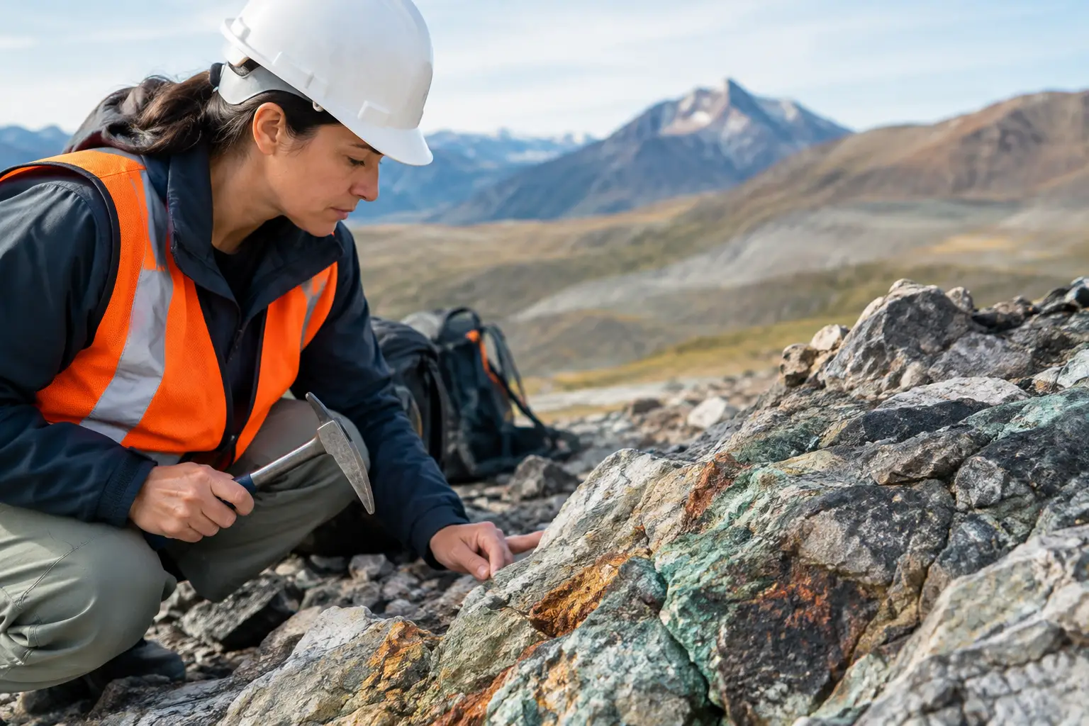
This changes the nature of early-stage exploration. Conventional mapping, ground traverses, and isolated geophysical lines still have value, particularly for local follow-up. They are not sufficient on their own when a program must rapidly characterize large, difficult, or remote areas. Desert access constraints, extreme temperatures, terrain variability, and the cost of moving field crews all favor a front-loaded geospatial approach.
The leading programs are therefore shifting from sensor-led acquisition to decision-led acquisition. Rather than commissioning magnetic, electromagnetic, radiometric, topographic, and imagery datasets as separate workstreams, teams are defining the geological questions first. Is the priority to map lithological contacts? Delineate structures beneath cover? Identify alteration footprints? Locate conductive targets? Refine groundwater risk before drilling? The survey design, flight geometry, calibration plan, and interpretation workflow should follow those questions.
Regional Data Coverage Is Becoming a Targeting Asset
A central trend is the renewed value of systematic regional coverage. Exploration decisions are increasingly made across license-scale or district-scale areas, not from isolated prospects viewed in isolation. This requires consistent datasets that can reveal structural corridors, intrusive relationships, alteration patterns, and magnetic domains over distances that field mapping cannot efficiently cover.
High-resolution aeromagnetic surveys are particularly effective where lithology and structure produce measurable magnetic contrasts. In the Arabian Shield, magnetic data can assist with mapping shear zones, faults, dikes, contacts, buried intrusions, and structural repetitions that may control mineralization. The value is not the magnetic image by itself. It is the interpretation produced when magnetic derivatives, geological observations, satellite data, and known mineral occurrences are evaluated together.
Radiometric mapping can add another layer of discrimination by measuring natural gamma-ray responses associated with potassium, uranium, and thorium. Used carefully, it can support lithological mapping and highlight broad alteration patterns. Its effectiveness depends on surface conditions, terrain, and the geological context. It should not be treated as a direct mineral detector.
For large-area programs, a calibrated airborne dataset also establishes a repeatable baseline. That baseline can be revisited as permits, land access, drilling data, and geological models mature. It gives technical teams a common spatial reference rather than a collection of disconnected field datasets.
Multi-Sensor Fusion Is Replacing Single-Method Interpretation
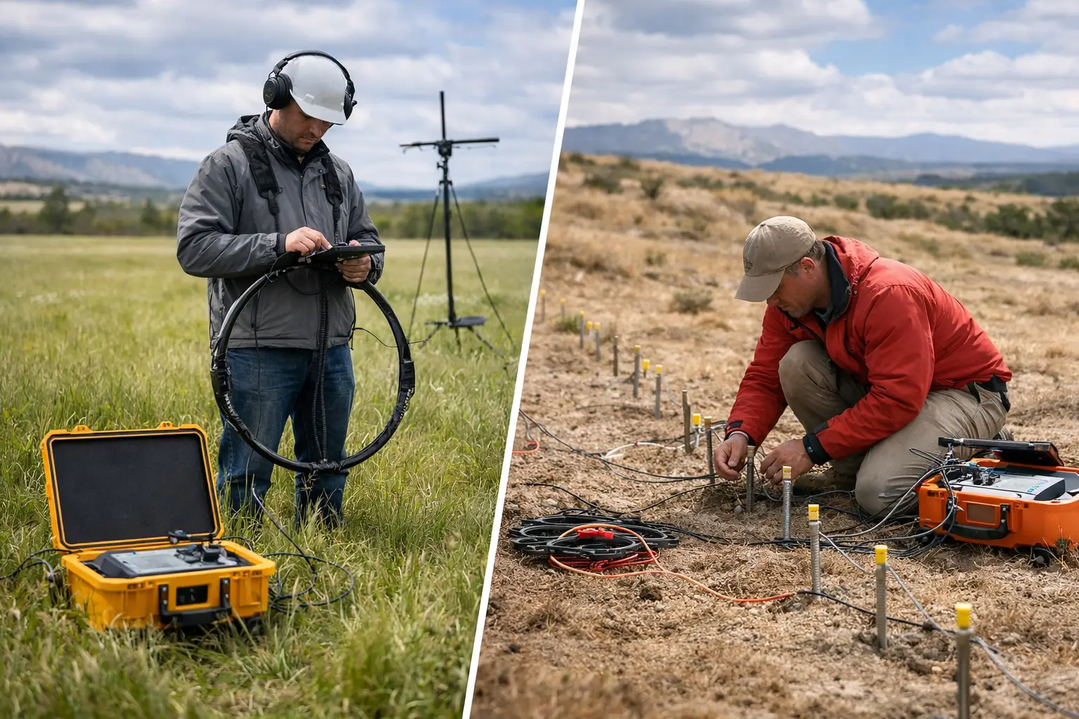
No single survey method can answer every exploration question. Magnetics are sensitive to contrasts in magnetic susceptibility and remanence. Electromagnetic methods respond to electrical conductivity. Hyperspectral imaging can identify surface mineralogical signatures under suitable conditions. LiDAR and photogrammetry define terrain, drainage, outcrop geometry, and access constraints. Each modality has blind spots.
The practical trend is multi-sensor fusion, but the term should be used precisely. Collecting several datasets does not automatically create an integrated exploration model. Fusion requires common coordinate control, documented sensor calibration, consistent elevation references, flight-line quality checks, noise assessment, and an interpretation process that tests one dataset against another.
A magnetic lineament, for example, becomes more meaningful when it coincides with a topographic break, mapped deformation, hydrothermal alteration, and geochemical evidence. Conversely, a conductive anomaly may be downgraded if it aligns with alluvial drainage, saline groundwater, or known infrastructure. Cross-validation prevents the common error of treating every anomaly as a drill target.
This is especially relevant in terrain where cover, weathering, and sparse outcrop can obscure surface expressions of deeper structures. The most useful output is not a folder of raster files. It is a ranked target portfolio with stated geological rationale, confidence levels, limitations, and recommended follow-up actions.
Drone Geophysics Is Narrowing the Gap Between Reconnaissance and Drilling
Manned aircraft remain appropriate for very large regional campaigns, particularly where payload requirements and survey extents justify their mobilization. Ground geophysics remains necessary where very detailed local measurements, direct sample control, or method-specific depth investigation is required. The growing role of drone platforms sits between these two approaches.
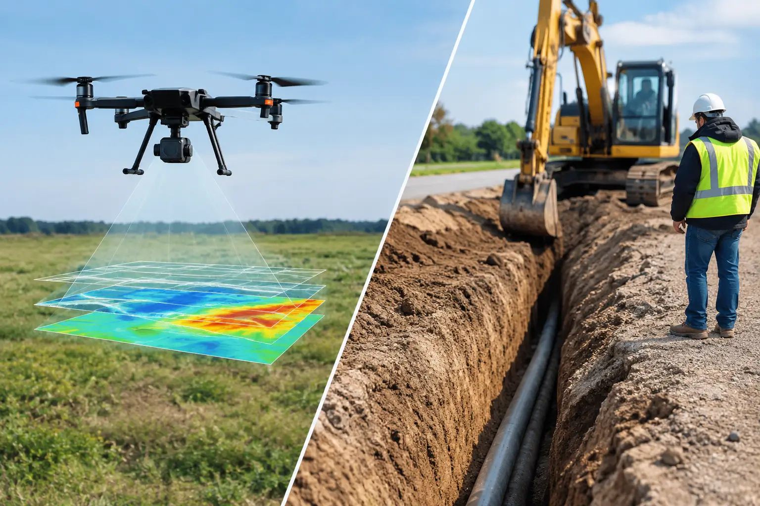
Drone-based magnetic, electromagnetic, radiometric, LiDAR, photogrammetric, and hyperspectral surveys can mobilize quickly and acquire high-density data over selected blocks without the logistical burden of conventional aircraft operations. This is valuable for follow-up over priority structures, drill corridor planning, inaccessible wadis, steep terrain, and areas where a rapid technical decision is needed before committing to a larger program.
The trade-off is operational discipline. Lower-altitude, high-resolution acquisition increases sensitivity to terrain clearance, flight planning, magnetic interference, environmental conditions, and safety controls. A drone survey is only as reliable as its platform integration, sensor compensation, base-station control, positioning solution, line spacing, tie-line design, and QA/QC regime.
For procurement teams, this means survey specifications should go beyond platform type and nominal resolution. They should require defined acceptance criteria for positioning, line navigation, sensor calibration, diurnal correction where applicable, noise levels, leveling performance, metadata completeness, and deliverable traceability. A technically attractive map without these controls may not withstand drilling review, resource evaluation, or investor due diligence.
Exploration Is Being Designed Around Faster Decision Gates
The costliest exploration error is not an unsuccessful drill hole. It is drilling a low-priority target because earlier data were incomplete, poorly integrated, or interpreted without sufficient geological context. Saudi exploration programs are increasingly organized around decision gates that concentrate expenditure as confidence increases.
At the earliest stage, satellite interpretation, public geological records, historical data review, and reconnaissance-scale airborne coverage can identify broad target domains. The next gate may involve higher-resolution geophysics, detailed mapping, surface geochemistry, and terrain modeling. Only after these datasets converge should drilling locations, orientations, and depths be finalized.
This staged approach does not eliminate risk. Mineral exploration remains probabilistic, and geophysical signatures are inherently non-unique. It does, however, make risk visible. An exploration manager can distinguish between targets supported by multiple independent lines of evidence and targets based on a single ambiguous response.
It also improves capital discipline. Programs can deploy intensive methods where they will materially change a decision, rather than applying dense data acquisition uniformly across an entire license. In practice, the right survey density depends on target style, expected depth, terrain, mineralization geometry, and the quality of existing information.
Desert Operations Require More Than a Capable Sensor
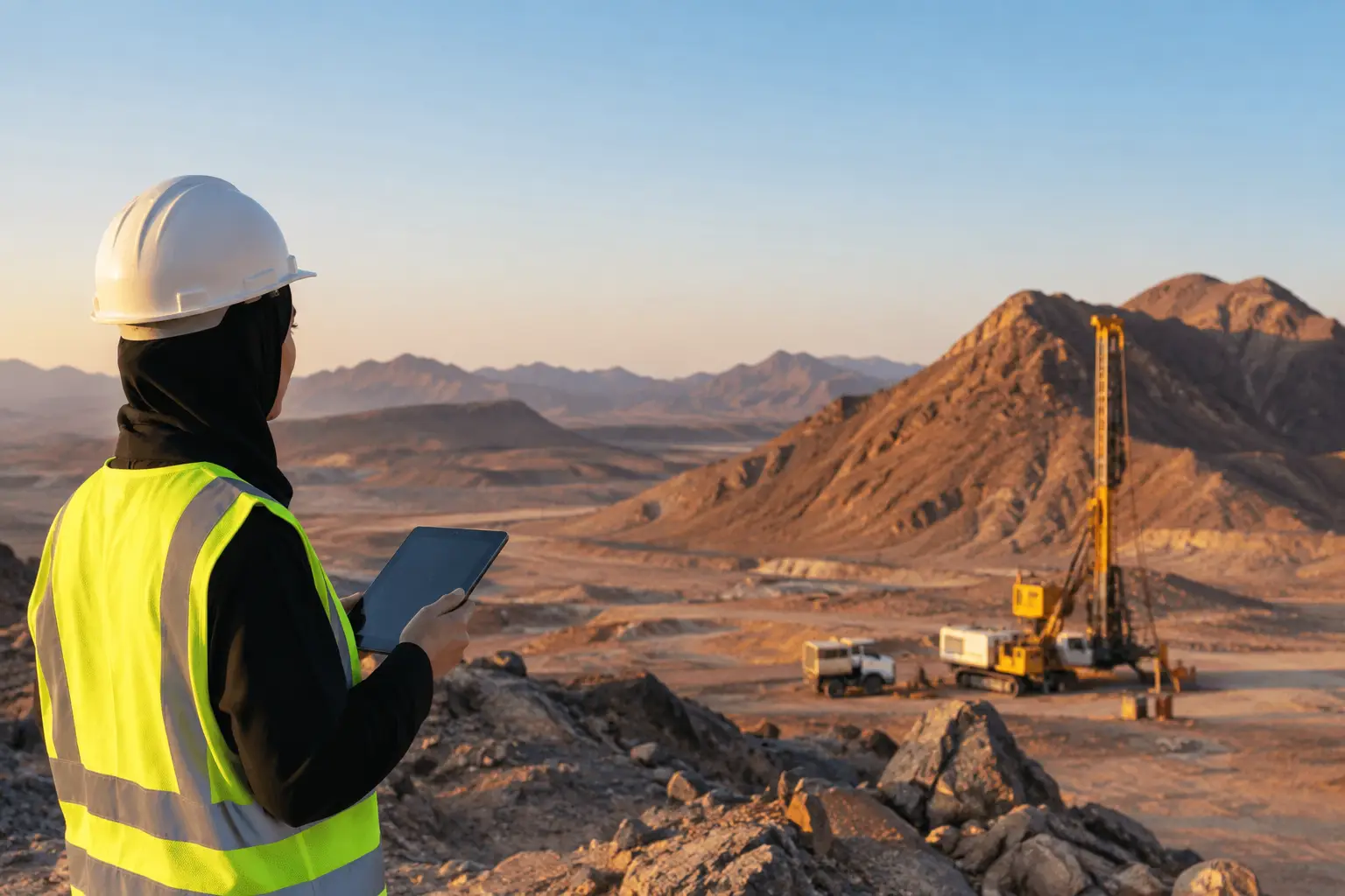
Saudi field conditions reward operational maturity. Heat, dust, wind, restricted access windows, long logistics chains, and communications constraints can affect sensor performance and daily production. These conditions do not make high-quality surveys impossible. They make planning, maintenance, and field verification non-negotiable.
A credible acquisition plan accounts for thermal operating limits, battery management, launch and recovery locations, terrain-following requirements, dust protection, redundant storage, ground control, and contingency procedures. It also establishes how field data are reviewed before demobilization. Discovering navigation gaps, sensor dropouts, or calibration issues after the crew has left site can compromise an otherwise well-executed campaign.
The strongest providers treat QA/QC as a continuous control loop. Field teams review coverage, line adherence, sensor health, and preliminary data quality daily. Processing teams apply documented corrections and compare results against tie lines, control points, and geological expectations. Interpretations identify both favorable evidence and data limitations. This creates a fully auditable chain from flight plan to final target recommendation.
What Decision-Grade Deliverables Should Contain
Enterprise buyers should expect more than raw point clouds, images, or geophysical grids. Those files are inputs, not the decision product. A properly structured exploration deliverable should enable geologists, executives, consultants, and future technical reviewers to understand what was acquired, how it was processed, and why specific targets were prioritized.
At minimum, the reporting package should include acquisition parameters, coordinate and elevation references, calibration records, QA/QC findings, processing workflow, maps at appropriate scales, interpreted structures and domains, target-ranking criteria, and clear recommendations for ground validation or drilling. Where multiple sensors are used, the report should show how conflicting responses were resolved or retained as uncertainty.
Air Solutions applies this operating model through calibrated drone-based acquisition and interpreted geoscience outputs designed for traceability, not just visual impact. That distinction matters when survey findings move from an exploration team into technical committees, investment reviews, permitting discussions, and engineering plans.
The Next Advantage Is Better Question Design
The most consequential shift in Saudi mining exploration is not a particular aircraft, sensor, or processing algorithm. It is the move toward programs that treat data quality as a direct input to capital allocation. High-resolution coverage, integrated interpretation, and auditable field execution allow teams to test geological ideas earlier and retire weak targets before they consume drilling budgets.
Before commissioning the next survey, define the decision it must support, the uncertainty it must reduce, and the evidence required to change the exploration plan. That discipline turns geospatial acquisition from a field activity into a controlled investment instrument.