A clay-rich exposure that appears uniform from the ground can contain the vectoring information that determines whether a prospect advances or is dropped. To map mineral alteration zones reliably, exploration teams need more than imagery or isolated samples. They need calibrated sensor data, terrain-aware processing, geological context, and field validation that can withstand technical review.
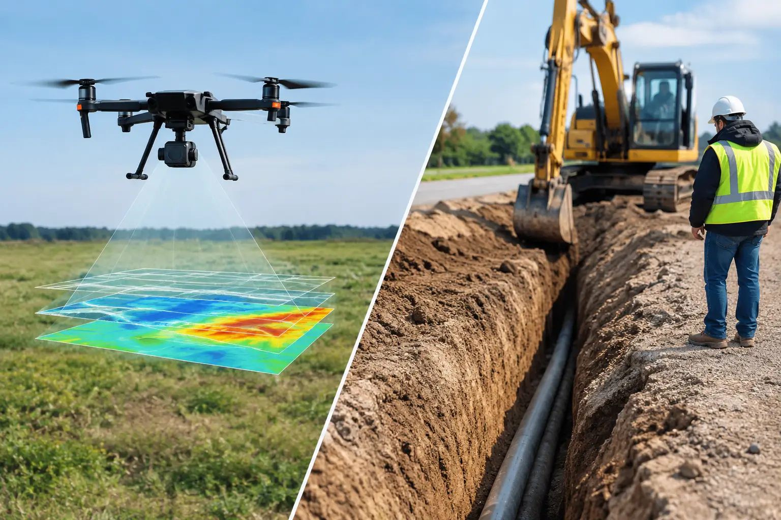
For operators working across large, remote, or structurally complex ground, drone-based acquisition can compress the time between reconnaissance and decision-grade interpretation. The value is not simply faster coverage. It is the ability to produce co-registered, traceable evidence showing where alteration occurs, what mineral assemblages may be present, how they relate to structures, and which areas warrant follow-up drilling or sampling.
What alteration mapping must establish
Hydrothermal alteration is the mineralogical and chemical response of host rock to fluid movement. Its surface expression can include iron oxides, clay minerals, silica, carbonates, epidote, chlorite, alunite, sericite, and other diagnostic assemblages. These patterns may indicate the footprint of a mineralizing system, but they do not automatically prove economic mineralization.
That distinction drives the survey design. A useful alteration map must separate mineralogical signatures from visually similar surface materials, identify the geometry of altered zones, and connect those zones to lithology, faulting, intrusions, and geophysical anomalies. The objective is to reduce uncertainty around target ranking, not to create an attractive color composite.
The required level of certainty depends on project stage. Regional reconnaissance may prioritize broad spectral footprints and structural corridors. A drill-targeting program requires higher spatial resolution, tighter positional control, documented calibration, and direct cross-validation against field observations, geochemistry, and available core or trench data.
The sensor stack for mapping mineral alteration zones
No single sensor can resolve every alteration problem. Hyperspectral imaging is often the primary mineral-mapping instrument because it measures reflectance across narrow, contiguous spectral bands. It can distinguish absorption features associated with hydroxyl-bearing minerals, iron oxides, carbonates, and silica-related surface responses when acquisition conditions and processing are controlled.
Hyperspectral results are strongest when paired with high-resolution photogrammetry or LiDAR. These datasets establish the terrain model, outcrop geometry, surface roughness, drainage, and structural lineaments needed to interpret spectral patterns correctly. Orthomosaics also support detailed field navigation and provide a visual reference for mapping contacts, veins, float trains, and access constraints.
Aeromagnetic data adds a different but essential layer. Magnetics can identify faults, dikes, intrusive contacts, buried structural trends, and zones of magnetite destruction or enrichment associated with alteration. In porphyry, IOCG, epithermal, and greenstone settings, the relationship between magnetic texture and alteration may materially improve target selection. It is rarely definitive on its own, but it can show whether a surface alteration anomaly sits within a structurally credible mineral system.
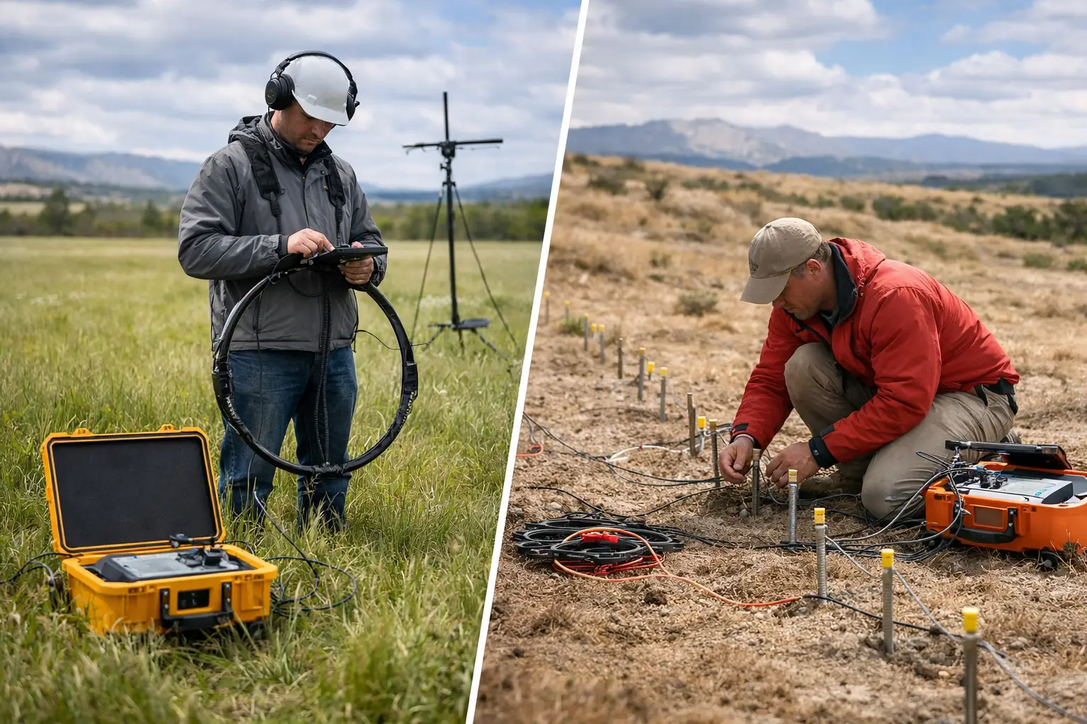
Radiometric data may help map potassium, uranium, and thorium distribution where geology and ground conditions permit. Potassic alteration can be relevant to specific deposit models, while lithological contrasts can improve interpretation of alteration boundaries. Electromagnetic surveys can contribute where conductive alteration minerals, sulfides, groundwater conditions, or regolith architecture are operationally relevant.
The correct combination depends on the deposit model, exposed bedrock percentage, terrain, expected alteration assemblage, and decision being supported. In deeply weathered terrain, for example, surface spectral data may map transported or supergene materials rather than the primary hydrothermal footprint. The survey should be designed around that risk from the outset.
A controlled workflow from flight planning to targets
Start with the geological question
Sensor selection should follow a clear geological hypothesis. The project team must define the expected host lithologies, structural controls, alteration assemblages, possible masking materials, and priority scale of interpretation. A program seeking argillic alteration around epithermal veins has different acquisition and validation requirements than one assessing regional propylitic halos around a porphyry system.
Existing mapping, geochemistry, historic drilling, satellite data, and regional geophysics should be reviewed before mobilization. This desk phase identifies areas where higher-resolution drone coverage will deliver the greatest value and ensures flight lines, ground control, and field checks are aligned with the target model.
Acquire data under repeatable conditions
Hyperspectral acquisition requires disciplined control of altitude, ground sampling distance, overlap, flight speed, solar angle, atmospheric conditions, and sensor calibration. Changes in illumination, shadow, haze, dust, and viewing geometry can distort reflectance signatures if not measured and corrected.
Field reflectance standards, calibration panels, irradiance measurements, and repeat passes where necessary create an auditable record of acquisition quality. For magnetic surveys, flight height, line spacing, heading corrections, diurnal monitoring, base-station procedures, and compensation methods must be matched to the anomaly scale under investigation.
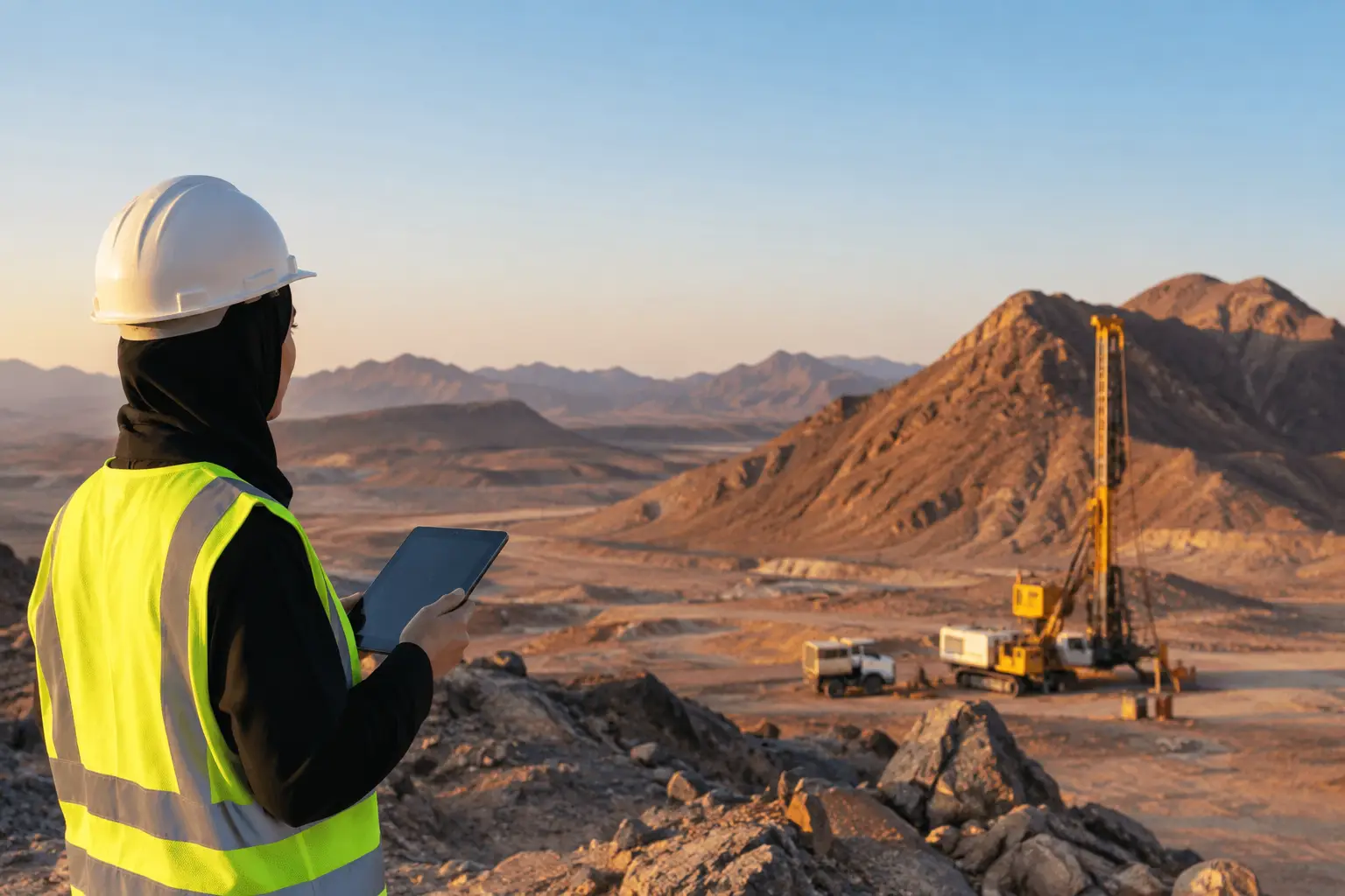
Desert environments introduce particular constraints. High reflectance surfaces, dust, extreme temperatures, sparse vegetation, and difficult access can be advantageous for exposed-rock mapping but demanding for equipment performance and atmospheric correction. Desert-ready platforms and defined QA/QC hold points are not operational extras. They determine whether the final interpretation is defensible.
Process for mineral discrimination, not visual appeal
Raw spectral imagery requires radiometric calibration, geometric correction, atmospheric correction, orthorectification, and precise co-registration with elevation and visual datasets. The processing chain should preserve metadata and establish clear lineage from raw acquisition through delivered mineral products.
Mineral classification then combines spectral feature analysis, reference libraries, continuum removal, band-depth measures, spectral unmixing, and supervised or rule-based classification. The output should communicate confidence. A pixel classified as illite, for example, may represent a strong diagnostic absorption feature, a mixed mineral response, or a low-confidence estimate affected by grain size, shadow, weathering, or surface coatings.
Interpretation products should therefore distinguish between mapped mineral occurrence, probable assemblage, uncertainty zones, and areas where the sensor cannot provide a reliable determination. This is more useful to geologists than a single categorical map that implies false precision.
Fuse geology, terrain, and geophysics
The highest-value output is an interpreted alteration domain, not a disconnected collection of raster layers. Spectral mineral maps should be evaluated against lithological contacts, lineaments, magnetic gradients, radiometric patterns, topographic breaks, and known mineral occurrences.
A coherent target may show a zoned alteration pattern around an intrusive center, a spectral corridor coincident with fault intersections, or clay and iron-oxide signatures associated with a demagnetized structural zone. Conversely, a broad clay anomaly on alluvial cover with no structural or geophysical support may deserve a lower priority.
Data fusion should be explicit and reproducible. Each target ranking needs stated criteria, evidence layers, confidence levels, and known limitations. That allows technical teams, investment committees, and regulators to understand why one zone is prioritized over another.
Field validation remains non-negotiable
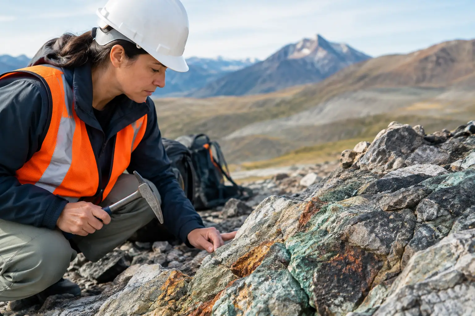
Remote sensing identifies patterns. Fieldwork determines whether those patterns have geological meaning. Validation should use strategically selected stations that test both high-confidence anomalies and negative or ambiguous areas. Geologists can confirm mineral assemblages, measure structures, assess weathering, identify transported cover, and collect samples for petrography, short-wave infrared analysis, X-ray diffraction, or geochemistry as required.
The field program should not be treated as a final confirmation exercise. Results must feed back into the classification model. If a mapped kaolinite response proves to be weathered feldspar-rich material, or an iron-oxide anomaly reflects lateritic cover rather than hydrothermal alteration, the interpretation needs revision. A cross-validated workflow is stronger precisely because it documents these corrections.
Deliverables that support exploration decisions
For enterprise exploration programs, final deliverables should be usable by both technical and project-control teams. A decision-grade package normally includes calibrated orthomosaics, digital surface or terrain models, mineral occurrence and confidence maps, interpreted alteration domains, structural maps, geophysical derivatives, target-ranking matrices, field-validation records, and full QA/QC documentation.
Data should be supplied in standard GIS-compatible formats with coordinate systems, processing parameters, sensor metadata, and version control clearly documented. This enables incorporation into resource models, regional datasets, environmental baselines, and future drill planning without reworking the survey from first principles.
Air Solutions applies this multi-sensor approach to turn drone-acquired data into interpreted geoscience products rather than transferring the burden of analysis to the client team. The practical advantage is rapid mobilization combined with a controlled, auditable chain from airborne measurement to target rationale.
The most productive next step is usually a focused pilot over a geologically representative area. It tests sensor response, validates the alteration model, establishes realistic resolution and confidence thresholds, and provides a defensible basis for scaling coverage across the wider prospect.