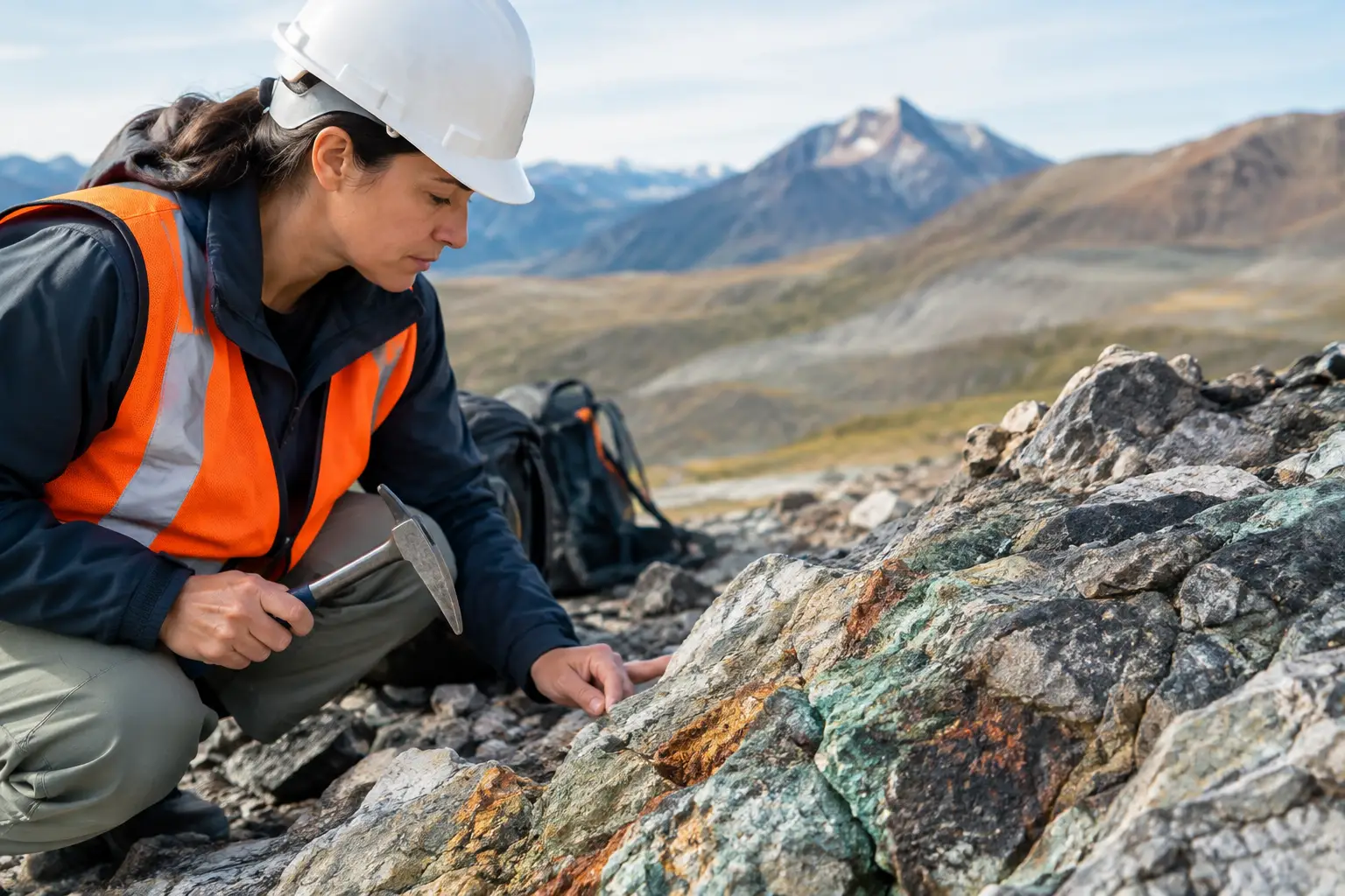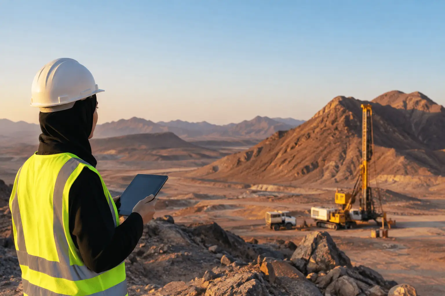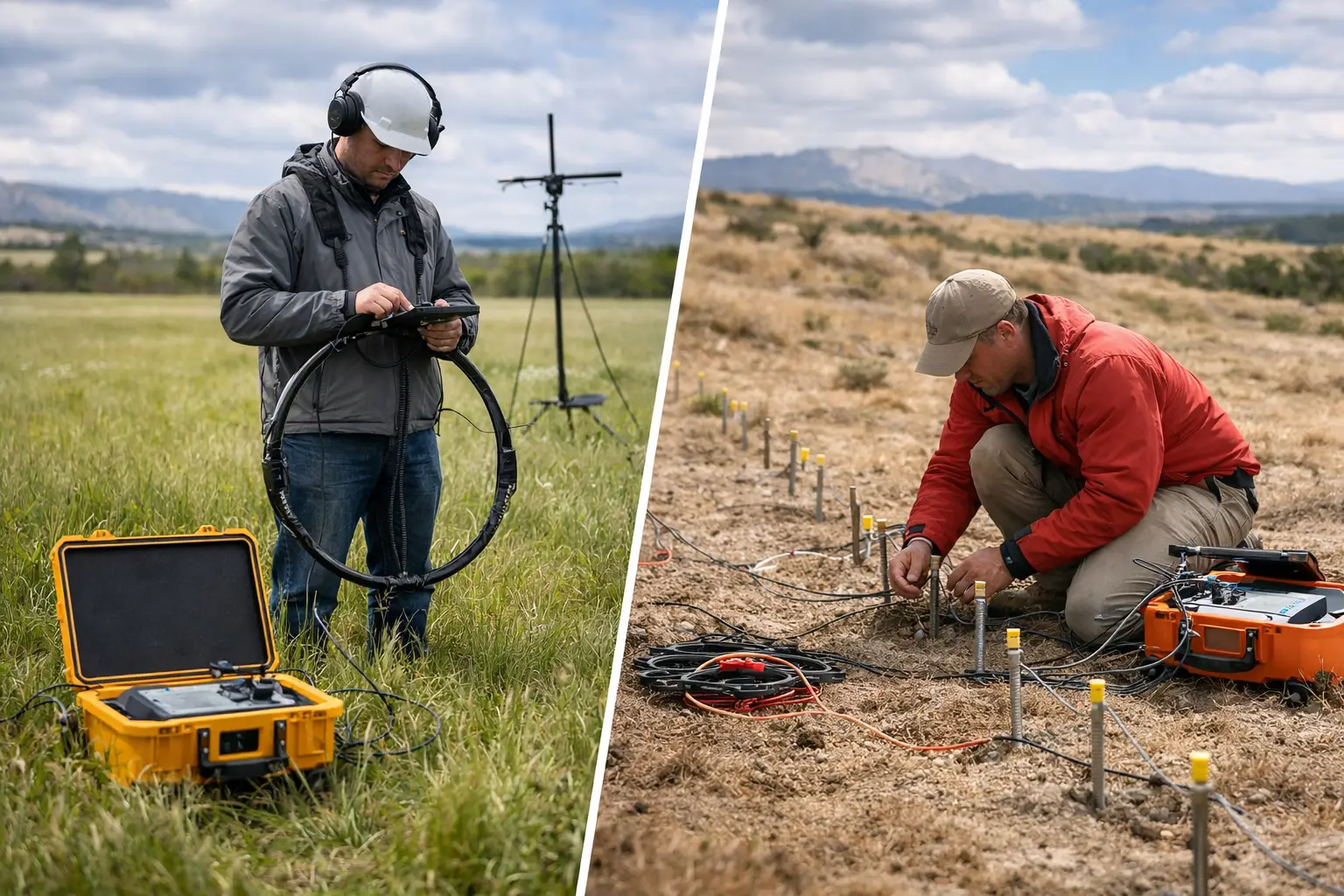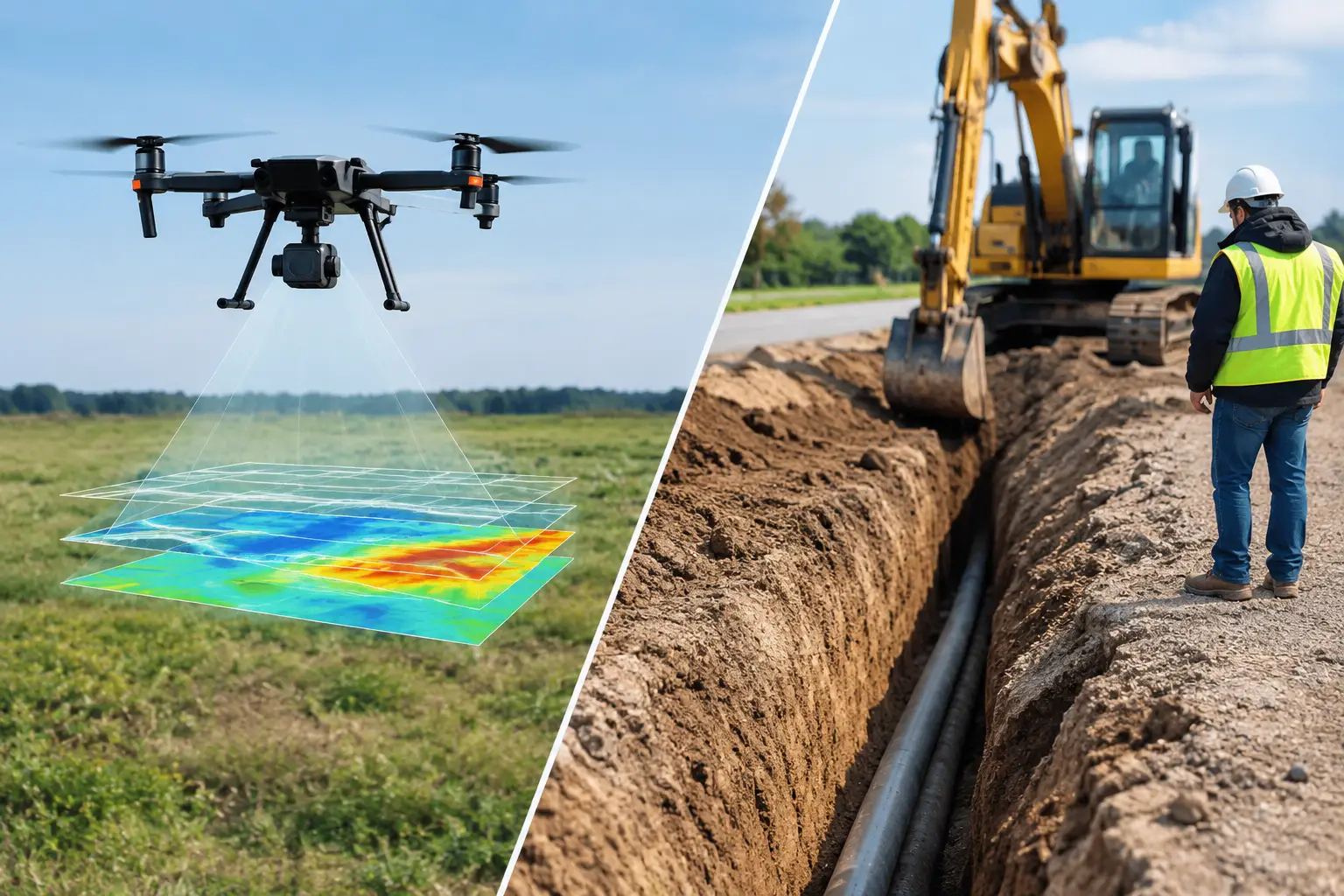
A proposed pipeline crossing, haul road, or utility corridor can fail its schedule before construction begins. The issue is rarely a lack of drawings. It is uncertainty: undocumented services, variable fill, shallow rock, voids, contaminated ground, or a water-bearing feature that appears only after excavation starts. In a drone GPR versus trenching decision, the correct question is not which method is better in general. It is which method produces defensible evidence at the required confidence level, over the required area, without creating unnecessary exposure.
For industrial and infrastructure projects, drone-enabled geophysics and trenching occupy different positions in the investigation workflow. One is a nonintrusive screening and targeting method. The other is a direct observation method with physical consequences. Treating either as a universal substitute for the other creates avoidable technical and commercial risk.
Drone GPR Versus Trenching: The Core Difference
Trenching is intrusive investigation. It exposes the ground directly, allowing teams to observe strata, utilities, foundations, boulders, seepage, and material changes in place. Where access is safe and permits allow, it can provide high-confidence confirmation at a specific location. It also disturbs the site, requires excavation controls, and samples only a narrow linear footprint.
Ground-penetrating radar, or GPR, measures contrasts in the subsurface electromagnetic response. It can identify reflections associated with buried objects, layer boundaries, void-like anomalies, and disturbed ground. A survey does not physically expose those features. Instead, it develops an interpreted model whose reliability depends on antenna frequency, survey geometry, soil electrical properties, target depth, and rigorous validation.
The term drone GPR requires particular discipline. Conventional utility GPR performs best with a ground-coupled antenna because signal energy attenuates rapidly with separation from the surface. A drone-mounted system can be effective only where sensor configuration, flight height, terrain conditions, and target objectives have been technically qualified. It should not be represented as a like-for-like replacement for cart-based GPR in dense utility detection work.
In practice, a drone platform may support broader airborne geophysical reconnaissance, high-resolution terrain mapping, photogrammetry, LiDAR, magnetic, or electromagnetic data acquisition. These datasets can identify corridor constraints and anomalies rapidly, then direct ground GPR, electromagnetic locating, boreholes, or limited verification excavation to the locations that matter.
What Each Method Can Prove
A trench can confirm physical conditions within its excavation envelope. It can establish utility depth and material, inspect pipe condition where exposed, verify stratigraphy, and collect samples. Yet its certainty is local. A clean trench at one chainage does not prove that conditions remain unchanged 300 meters away, particularly across reclaimed land, alluvial deposits, or developed industrial sites.
GPR offers continuous or closely spaced coverage across a survey grid or corridor. That coverage is valuable when the project needs to understand patterns rather than simply confirm one point. It can map the lateral continuity of a suspected trench backfill zone, locate repeated subsurface anomalies, or help define where excavation should be avoided or prioritized.
Neither output should be overstated. A GPR reflection is not automatically a pipe, void, or geologic contact. It is a measured response requiring interpretation against site context and, where practical, cross-validation. Similarly, a trench may miss an offset utility, a deeper feature, or an anomaly between excavated sections.
The strongest investigation design frequently combines methods: broad-area geospatial screening, targeted ground geophysics, and selective intrusive confirmation. This sequence converts excavation from a discovery exercise into a controlled verification activity.
Coverage, Speed, and Mobilization
Trenching is slow by design. It requires access preparation, utility clearances, permits, excavation planning, spoil management, shoring or batter design, safety supervision, reinstatement, and sometimes environmental controls. In constrained facilities, each excavation can involve production coordination and isolation requirements that exceed the digging time itself.
Drone-enabled surveys mobilize differently. A properly planned mission can acquire terrain and geophysical context over extensive, inaccessible, or hazardous ground without opening the surface. This is especially relevant on long linear routes, mine expansion areas, desert terrain, tailings environments, and early-stage development sites where the first need is an evidence-based map of risk and opportunity.
Speed is not only a field metric. It includes how quickly data becomes decision-ready. Raw imagery, radar profiles, or geophysical grids are insufficient for a project owner. The useful output is a calibrated, georeferenced, QA/QC-documented interpretation that can be reviewed against design alignment, existing records, and field observations.
Airborne acquisition therefore has its greatest value when it reduces the extent of downstream fieldwork. It is less compelling when a single, shallow, accessible point requires direct confirmation and excavation is already planned.
Depth, Resolution, and Site Conditions
GPR performance is governed by physics, not software settings. High-frequency antennas provide finer resolution but shallower penetration. Lower frequencies can investigate deeper targets but resolve smaller features less clearly. Conductive soils, saline ground, wet clay, reinforced concrete, and heterogeneous fill can sharply limit penetration or produce complex responses.
Saudi and Gulf projects add their own operating considerations. Dry, resistive sands can be favorable for GPR penetration, while saline soils, moist coastal sediments, clay-rich zones, and heavily disturbed urban fill may not be. Ground conditions must be assessed before committing to a detection depth or target-size claim.
Trenching is less sensitive to electrical properties, but it faces other constraints. Groundwater inflow, unstable sidewalls, buried services, contaminated material, archaeological controls, restricted access, and operational permits can make excavation expensive or unacceptable. The fact that trenching can provide direct observation does not make it low risk.
For utility investigation, GPR should also be assessed alongside electromagnetic locating, record review, visual reconnaissance, and survey control. Metallic utilities may be more effectively traced with electromagnetic methods; nonmetallic services may require GPR, tracer wires, inspection records, or controlled potholing. Multi-sensor design is materially stronger than reliance on a single detection modality.
Safety and Environmental Exposure
The safety distinction is substantial. Trenching introduces excavation hazards, including wall collapse, plant interaction, falls, service strikes, and confined-space conditions. An accidental strike on gas, electric, process, or water infrastructure can escalate from a local incident into an operational shutdown.
Nonintrusive survey reduces those exposures during the reconnaissance phase. Drone operations introduce their own aviation controls: airspace authorization, flight planning, exclusion zones, crew competency, equipment checks, and documented emergency procedures. These are controlled operational risks, not an absence of risk.
Environmental disturbance follows the same pattern. Excavation generates spoil, requires reinstatement, and can disturb drainage, vegetation, or contaminated ground. A drone or surface geophysical survey has a lighter physical footprint, although it still requires access planning and environmental compliance. Where projects operate near sensitive assets or in protected areas, avoiding unnecessary intrusive work has direct value.
Cost Should Be Measured Against Rework
A comparison based only on day rates is misleading. A trench may appear inexpensive until traffic management, permits, scanning, safety controls, reinstatement, disposal, and schedule disruption are included. A drone or geophysical survey may appear costly if judged solely as data acquisition rather than as a method to reduce blind excavation and redesign.
The commercial question is the cost of being wrong. On a major utility corridor, an unidentified crossing can trigger redesign, delay, claims, and asset damage. On an exploration or groundwater program, a poorly targeted excavation or borehole can consume budget without reducing uncertainty. Decision-grade survey data earns its place when it changes the field program, not when it merely produces attractive maps.
Procurement teams should require a defined scope of detection objectives, anticipated confidence limits, coordinate reference system, calibration process, QA/QC checks, anomaly classification, and validation plan. A report that distinguishes confirmed features from interpreted targets is more useful than one that implies certainty where none exists.
Selecting the Right Investigation Sequence
Choose trenching when direct visual confirmation is required, the target location is already well constrained, and the excavation can be conducted safely under approved controls. It remains indispensable for final verification, sampling, repairs, and conditions that cannot be resolved indirectly.
Choose drone-supported and nonintrusive geophysical investigation when the project needs rapid area coverage, access is difficult, excavation carries material risk, or the site requires a defensible basis for targeting intrusive work. For many enterprise projects, the best answer is not drone GPR versus trenching as an either-or choice. It is a staged program that uses nonintrusive intelligence to make each trench, pothole, borehole, and engineering decision more deliberate.
Before ground is broken, define what must be known, what can be inferred, and what must be physically confirmed. That discipline is what turns subsurface investigation from a reactive cost center into controlled project assurance.