A water investigation fails when the sensing method does not match the decision. A regional aquifer assessment, a dam seepage investigation, and a floodplain design study may all be described as water mapping, but they require different spatial resolution, depth of investigation, calibration controls, and interpretation workflows. The top water mapping tools are therefore not interchangeable products. They are complementary sensing systems that must be deployed against a defined hydrogeologic or engineering question.
For enterprise programs, the objective is not simply to generate a map. It is to produce traceable evidence that supports drilling, asset protection, water-resource planning, permitting, or capital allocation. That changes how tools should be evaluated.
Top water mapping tools by investigation objective
The most effective water mapping programs combine terrain, surface-water, subsurface, and temporal data. Each modality has a distinct role, and each carries limitations that must be understood before field mobilization.
Airborne electromagnetic surveying
Airborne electromagnetic, or AEM, surveying is among the most capable methods for mapping broad groundwater systems. The system transmits an electromagnetic field and measures the earth response to identify contrasts in electrical conductivity. These contrasts can indicate saturated sediments, saline-water intrusion, clay-rich units, weathered bedrock, paleochannels, and structural controls on groundwater flow.
Its principal advantage is coverage. AEM can characterize conductivity patterns across large, inaccessible, or hazardous areas far faster than a drilling-only program. In arid environments, it is particularly valuable for locating buried channels and zones where fresh and saline groundwater may be separated by subtle geologic boundaries.
The trade-off is interpretive ambiguity. High conductivity may reflect saline water, clay, conductive mineralization, or a combination of these factors. AEM results require cross-validation against borehole logs, water-quality data, geology, and where appropriate, ground geophysics. It is a high-value reconnaissance and characterization tool, not a direct water-quality measurement.
Electrical resistivity tomography
Electrical resistivity tomography, commonly called ERT, measures subsurface resistivity through controlled current injection at the ground surface. It is well suited to targeted investigations where operators need a detailed section beneath a proposed well field, dam, canal, tailings facility, or industrial site.
ERT can help delineate weathered zones, fractured bedrock, saturated alluvium, seepage pathways, and potential voids. Compared with airborne methods, it provides finer local resolution and allows survey lines to be positioned directly over a suspected feature. This makes it particularly effective after wider-area remote sensing has narrowed the investigation area.
Its constraint is productivity. Electrode deployment, contact resistance, terrain access, and line length affect acquisition speed. Depth penetration also depends on array geometry, ground conditions, and available spread length. ERT should be specified with realistic depth and resolution expectations, not as a universal subsurface imaging method.
LiDAR terrain mapping
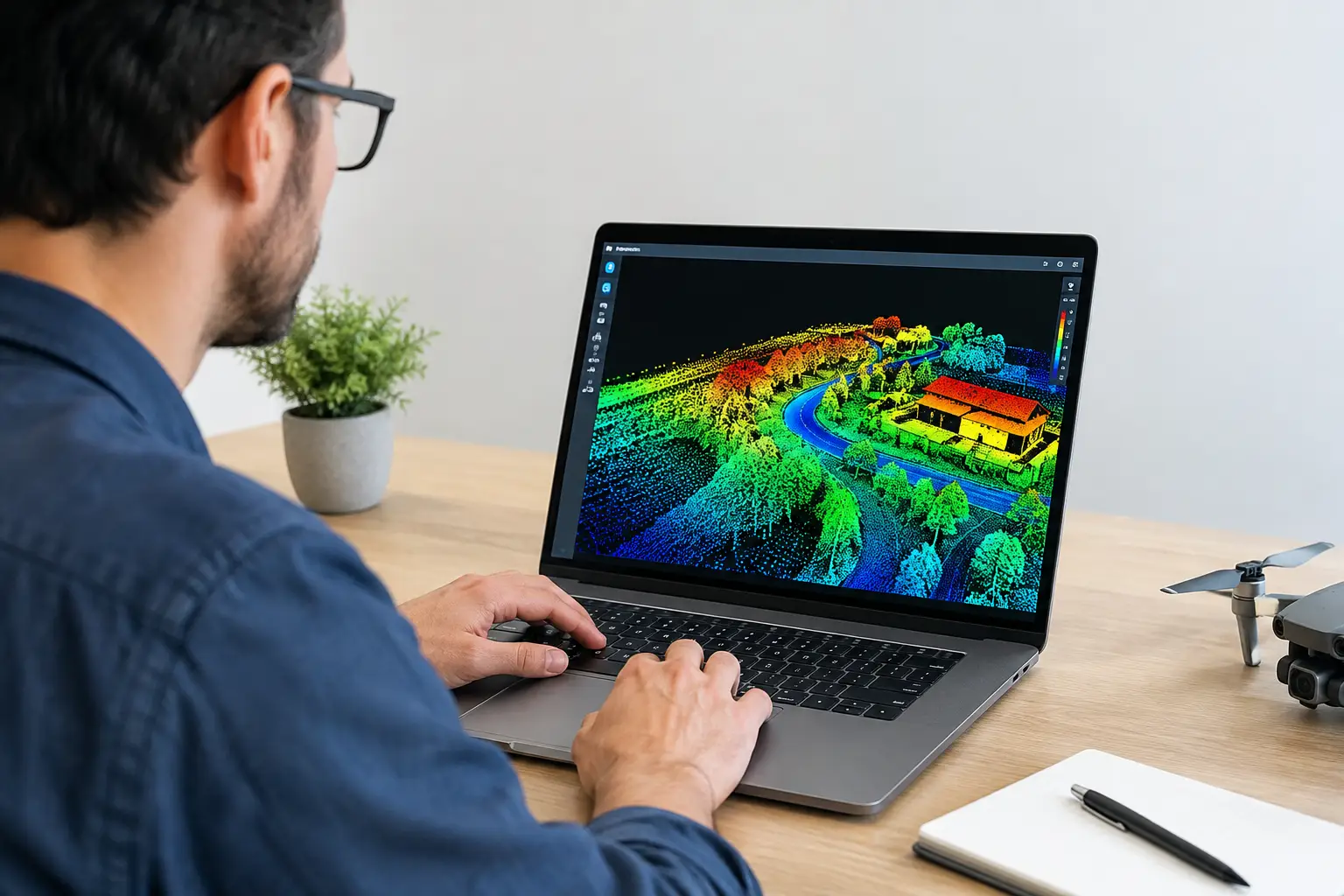
LiDAR is essential when water behavior is controlled by subtle terrain. A calibrated LiDAR survey produces high-density elevation data capable of identifying drainage divides, flood pathways, erosion channels, embankment deformation, wadis, sink features, and low-relief catchment boundaries that conventional topographic data may miss.
For flood-risk planning and drainage design, the deliverable is often a classified bare-earth digital terrain model rather than a visually attractive point cloud. Ground classification, vertical accuracy assessment, breakline treatment, and hydrologic conditioning determine whether the model can support engineering analysis.
LiDAR does not identify groundwater directly. Its strength is defining the surface geometry that governs recharge, runoff, ponding, and sediment transport. In a water program, it becomes far more valuable when integrated with geology, hydrology, and subsurface geophysics.
Drone photogrammetry
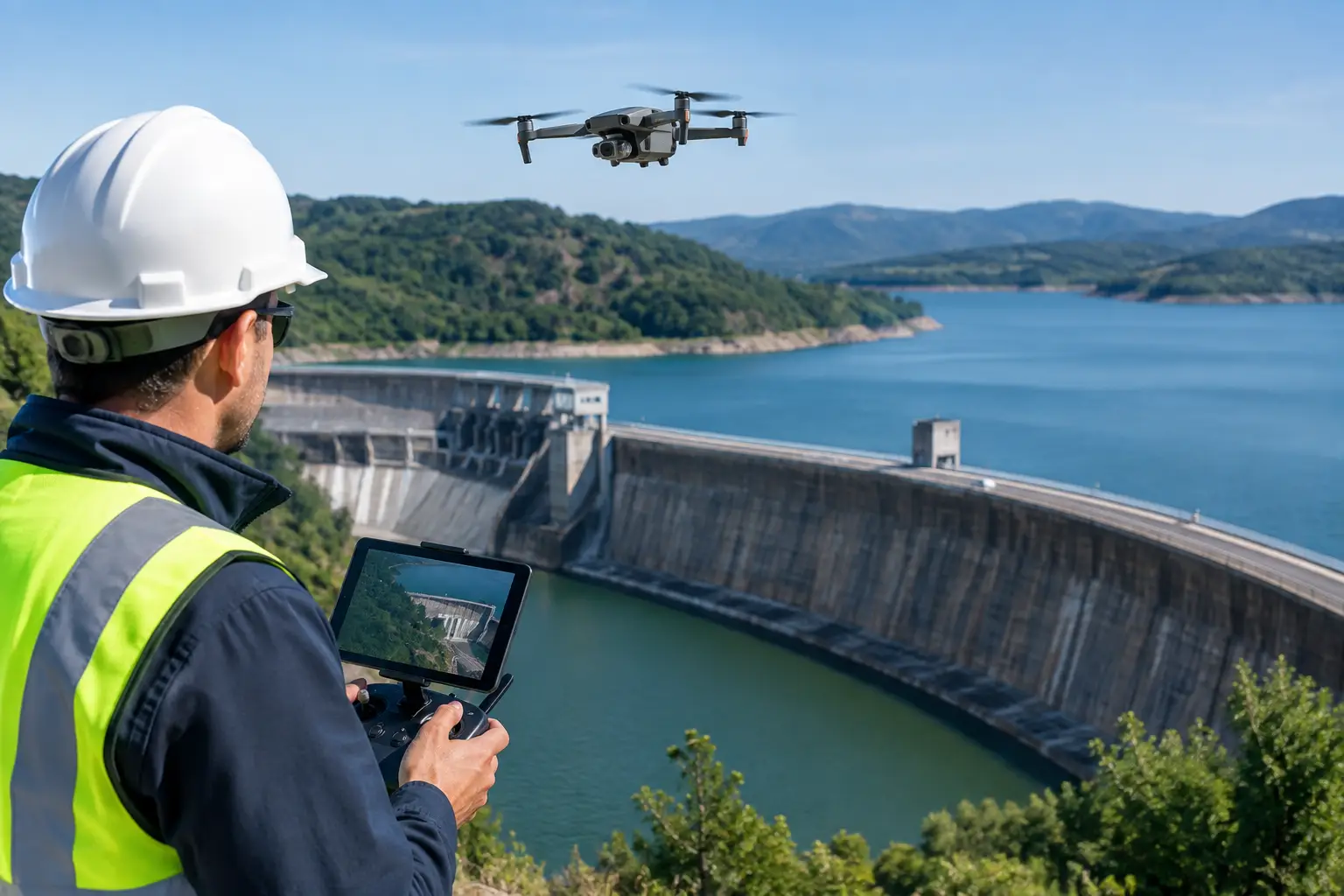
Drone photogrammetry creates orthomosaics, elevation models, and three-dimensional surface models from overlapping imagery. It is a rapid, practical option for site-scale monitoring of channels, reservoirs, drainage structures, construction interfaces, exposed geology, and erosion-prone areas.
The method is particularly useful where repeated surveys are required. Consistent flight planning and surveyed ground control can provide a defensible basis for change detection, including stockpile runoff controls, channel migration, embankment movement, and sediment accumulation.
Photogrammetry is dependent on texture, lighting, surface visibility, and control quality. Water surfaces, uniform sand, dense vegetation, and strong shadows can reduce model reliability. It should not be assumed to provide LiDAR-equivalent bare-earth performance beneath vegetation or across complex terrain.
Ground-penetrating radar
Ground-penetrating radar, or GPR, is a high-resolution, shallow-investigation tool. It can be effective for locating near-surface utilities, voids, buried channels, shallow water-table changes, drainage assets, and subsurface discontinuities in favorable materials.
GPR performs best in dry, resistive ground such as clean sand, dry gravel, and certain pavements. Performance declines sharply in conductive clay, saline soils, and saturated fine-grained materials because signal attenuation limits penetration. This is a critical consideration in coastal zones and clay-rich alluvial settings.
For utility and infrastructure assessments, GPR is often one part of a multi-sensor workflow that includes electromagnetic utility locating, survey control, and targeted excavation verification. Its value lies in resolution, not regional coverage.
Satellite imagery and hyperspectral mapping
Satellite imagery provides frequent regional coverage for surface-water extent, land-cover change, vegetation stress, catchment disturbance, and flood monitoring. Multispectral imagery can support screening of surface moisture, reservoir dynamics, agricultural water use, and riparian condition across large areas.
Hyperspectral sensing adds narrower spectral bands that can assist with mineral alteration mapping, vegetation condition, surface salinity indicators, and some water-quality proxies. It is most useful when the interpretation question is spectrally specific and field calibration is available.
Neither satellite nor hyperspectral data should be treated as a standalone groundwater solution. Their strongest role is prioritization: identifying patterns that justify targeted geophysics, field sampling, or detailed drone survey.
Selecting tools for the water decision, not the sensor
A disciplined tool selection process begins with the decision that the data must support. For a new production well field, the program may combine AEM for basin-scale conductivity architecture, magnetic data for structural context, ERT for detailed target refinement, and borehole sampling for confirmation. For flood infrastructure, LiDAR and photogrammetry may take priority, supported by hydrologic modeling and field verification.
Technical procurement teams should assess five controls before approving a mapping scope:
- The required depth of investigation and minimum feature size.
- The area to be covered, terrain access constraints, and mobilization window.
- The geological conditions likely to affect sensor response.
- The ground truth available for calibration and interpretation.
- The reporting standard needed for regulators, engineers, investors, or internal governance.
These controls prevent a common failure mode: selecting the lowest-cost acquisition method without accounting for rework, supplementary surveys, or the cost of decisions made on uncertain data.
Data fusion turns observations into water intelligence
The strongest water mapping outcomes come from data fusion rather than a single sensor. A conductivity anomaly becomes more meaningful when it aligns with a mapped paleochannel, a structural corridor inferred from magnetic data, topographic recharge pathways, and borehole evidence. Conversely, a mismatch between datasets may identify a false target before drilling capital is committed.
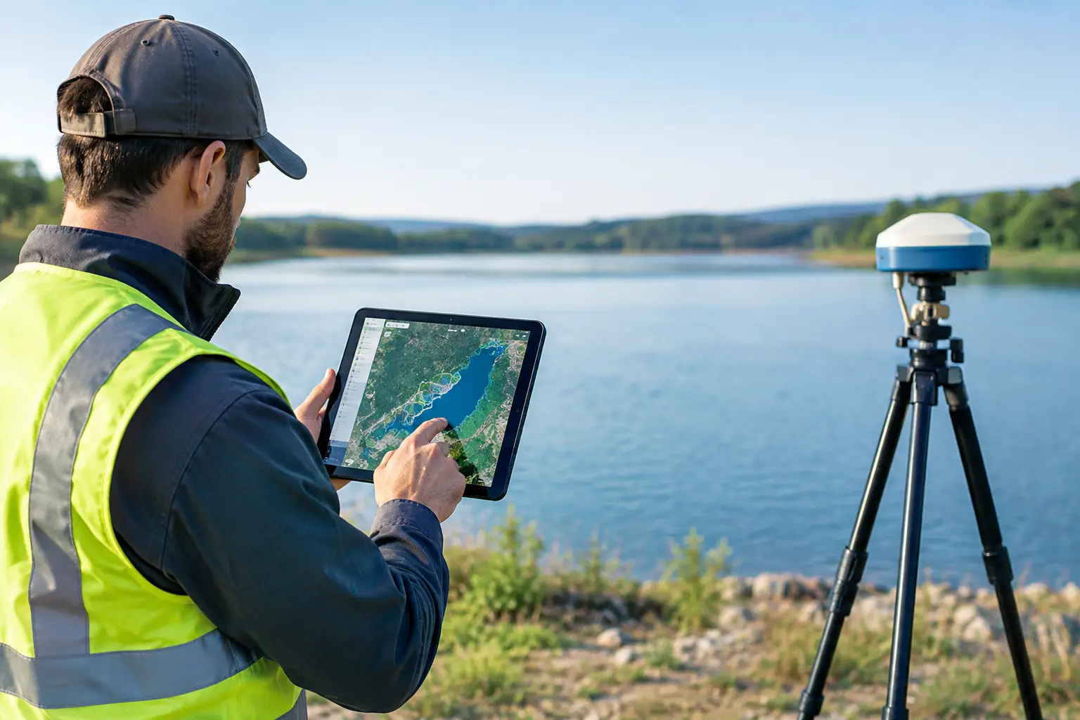
A defensible workflow should document sensor calibration, positioning accuracy, flight or line spacing, processing parameters, uncertainty limits, and interpretation assumptions. Raw data, processed grids, inversion outputs, field observations, and final maps must remain traceable through QA/QC. For high-value water and infrastructure decisions, a polished map without this audit trail is insufficient.
Air Solutions approaches these assignments as integrated geospatial investigations, combining drone-enabled sensing with interpreted outputs designed for technical and executive review. The appropriate sensor package depends on the project risk, not on a predetermined platform.
Where the mapping program delivers value
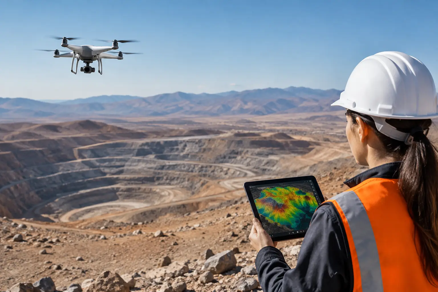
For mining projects, water mapping supports groundwater targeting, dewatering design, pit-slope hydrogeology, and environmental baseline studies. For utilities and EPC programs, it supports corridor drainage assessment, utility risk reduction, seepage investigation, and construction planning. For public water authorities, it can improve aquifer conceptual models, identify recharge controls, and prioritize field verification across large areas.
The commercial value is usually created before the drill rig or construction crew arrives. Better targeting reduces unproductive boreholes, avoids poorly understood ground conditions, and gives project teams a clearer basis for sequencing capital-intensive work.
The right next step is not to ask which sensor is best in isolation. Define the water decision, the uncertainty that threatens it, and the evidence needed to close that uncertainty. The mapping tools can then be specified as a measured system, with each dataset contributing a clear and auditable role.