A LiDAR survey can collect millions of measurements in a single flight, but point density alone does not make those measurements decision-grade. To process LiDAR point clouds for mine planning, corridor engineering, drainage analysis, or utility risk assessment, the data must be georeferenced, calibrated, classified, and validated against a defined project specification. The objective is not a visually impressive point cloud. It is a traceable spatial dataset that can withstand engineering review.
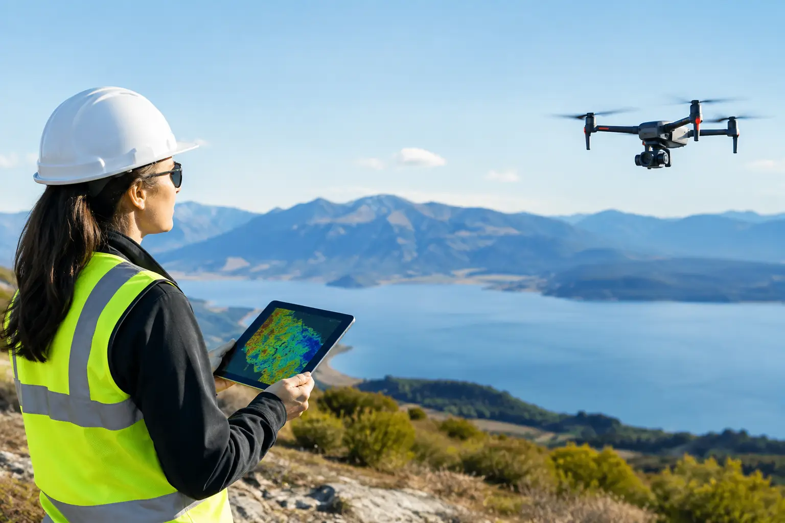
For industrial projects, the processing chain begins before the aircraft launches. Flight geometry, sensor configuration, GNSS base-station strategy, control distribution, and vertical datum selection all influence the quality of the final terrain model. Processing cannot correct for every acquisition weakness. It can, however, identify residual error, reconcile overlapping flight lines, remove non-ground returns, and produce deliverables aligned with the decisions a project team needs to make.
What It Means to Process LiDAR Point Clouds
LiDAR processing converts raw range measurements and navigation data into mapped three-dimensional coordinates. Each laser pulse is recorded with a time stamp, scan angle, return information, and intensity value. Those records must be combined with the aircraft trajectory, which is derived from GNSS and inertial measurement unit data.
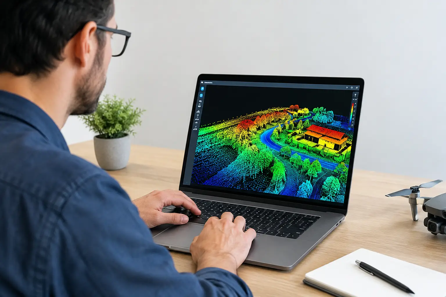
The first usable output is generally a georeferenced point cloud. At this stage, every point has an east, north, and elevation value in the required coordinate reference system. That is only the starting point. A production workflow then corrects systematic alignment error, assigns ground and object classes, assesses completeness, and generates purpose-specific models such as bare-earth digital terrain models, digital surface models, contour files, breaklines, and volumetric surfaces.
A high-density dataset with poor vertical control is not necessarily better than a lower-density dataset with documented accuracy. Density determines how well the survey resolves small features. Accuracy determines whether the measured feature is in the correct location. Both must be specified and tested independently.
Start with the decision, not the sensor output
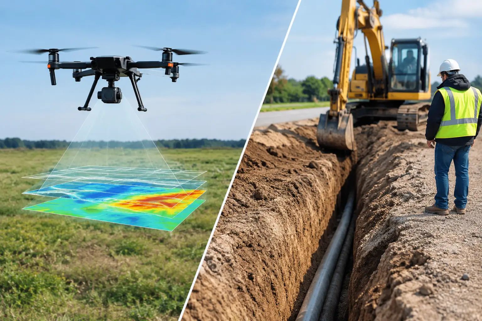
The classification and modeling approach should match the intended use. A hydrology team may need a hydro-enforced terrain surface that maintains culverts, channels, and drainage paths. An open-pit mine may require clean benches, crest and toe breaklines, stockpile volumes, and repeatable change detection. A transmission corridor program may require vegetation encroachment metrics and wire-clearance modeling.
These requirements are related, but they are not interchangeable. Removing all low points may improve a general terrain visualization while deleting valid drainage features. Aggressive ground filtering in a rocky wadi may classify exposed bedrock correctly in one area and misclassify low vegetation in another. Processing parameters must be selected, tested, and documented against the physical conditions of the site.
A Controlled Workflow to Process LiDAR Point Clouds
1. Validate raw mission data and trajectory
Processing begins with an intake review. The team confirms that all flight logs, raw sensor files, GNSS observations, base-station data, calibration files, and mission metadata are complete. Time synchronization across the LiDAR sensor, GNSS receiver, and inertial unit is checked before trajectory computation.
The trajectory is then processed using post-processed kinematic or precise point positioning methods, depending on the mission design and available correction data. The output is reviewed for GNSS outages, weak satellite geometry, excessive positional dilution, inertial drift, and periods of poor solution quality. Flights collected during degraded navigation conditions may require reprocessing, exclusion, or supplemental acquisition.
For enterprise work, this step should create an audit trail showing the source data, processing version, coordinate system, datum transformation, and trajectory quality metrics. Without that record, later accuracy claims are difficult to defend.
2. Apply boresight calibration and strip adjustment
A LiDAR sensor is mounted to an aircraft with small but measurable angular offsets relative to the navigation system. Roll, pitch, and heading offsets can cause adjacent swaths to diverge on flat ground, building faces, road edges, or steep slopes. Boresight calibration estimates and corrects those offsets.
After initial georeferencing, overlapping flight lines are compared. Strip adjustment reduces residual differences between swaths while retaining control of the overall reference frame. This is not a cosmetic exercise. Misaligned strips can introduce false slopes, distort volume calculations, and create misleading changes between repeat surveys.
The best surfaces for strip evaluation are stable, well-defined features. Roads, paved pads, rooftops, exposed rock, and surveyed calibration areas are more reliable than moving vegetation or water. The resulting residuals should be reported, not merely inspected visually.
3. Clean noise without deleting valid features
Raw point clouds contain returns that do not represent the surveyed asset or terrain. Common causes include atmospheric effects, multipath, isolated scan artifacts, moving equipment, birds, dust, and edge-of-range degradation. Automated filters can identify sparse isolated points and implausible elevation spikes, but they require review in complex industrial environments.
Desert conditions create a specific challenge. Dust, low-reflectance surfaces, steep escarpments, and sparse vegetation can produce patterns that differ from temperate-site assumptions. Processing rules developed for a forested corridor should not be transferred without adjustment to a rocky mining lease or arid floodplain.
The goal is controlled cleaning, not maximum point removal. Any filter that improves the appearance of a point cloud while erasing survey-relevant detail is a processing failure.
4. Classify ground, vegetation, structures, and assets
Classification assigns each point to a meaningful category. Typical classes include ground, low and high vegetation, buildings, roads, water, bridges, transmission infrastructure, and unclassified objects. The class schema should follow the contract requirements and downstream software environment.
Ground classification is usually the most consequential step because it supports terrain modeling. Algorithms identify candidate ground points by evaluating local slope, elevation difference, neighborhood geometry, and surface continuity. In areas with steep terrain, benches, retaining structures, rock outcrops, or dense scrub, automated classification must be supplemented by targeted editing and cross-validation.
Asset classification may be equally valuable in corridor and facility work. Separating poles, conductors, pipelines, tanks, and building surfaces enables clearance studies, digital twin development, asset inventory, and condition-planning workflows. Where LiDAR is combined with calibrated imagery or hyperspectral data, the interpretation can be extended beyond geometry alone.
5. Build the right surface products
A classified cloud becomes operationally useful when it is translated into products for engineering, geology, environmental, or construction teams. Ground-class points support a digital terrain model. First-return or surface points support a digital surface model. The difference between these surfaces can quantify vegetation height, stockpile thickness, or structure elevation.
Interpolation settings matter. A grid cell that is too large can smooth drainage breaks and narrow haul roads. A grid cell that is too small can imply a level of certainty the acquisition does not support. Breaklines may be required where sharp grade changes, channel edges, curbs, or bench crests need to remain explicit in the model.
For repeat surveys, all epochs must use consistent reference systems, processing rules, and surface-generation methods. Change detection is only credible when the apparent change exceeds the combined uncertainty of both datasets.
QA/QC Makes the Dataset Defensible
LiDAR QA/QC should test both the data and the production process. Independent checkpoints assess vertical and horizontal accuracy, while overlap analysis assesses internal consistency. Density mapping identifies coverage gaps. Classification review checks whether buildings, vegetation, ground, and water were assigned correctly. Surface inspection verifies that artifacts have not been introduced during gridding or interpolation.
The reported accuracy must state its basis. Checkpoints should be independent of the control used to constrain or calibrate the data. A survey team that uses the same points for adjustment and validation can report an overly optimistic result. For critical earthworks, mine volumes, or flood-risk studies, independent control and transparent residual statistics are essential.
A fully auditable package typically records acquisition parameters, trajectory solution quality, boresight values, strip-adjustment residuals, control reports, classification methodology, final point density, and exceptions. This documentation allows technical reviewers to understand not only what was delivered, but how confidence in that delivery was established.
Trade-Offs That Need Early Agreement
Higher point density can improve feature definition, but it increases flight time, file size, processing effort, and data-management cost. Lower-altitude flights can improve resolution but reduce coverage efficiency. More control points can strengthen validation, yet they may be difficult or unsafe to establish across remote terrain.
There is also a practical distinction between an engineering-grade terrain model and a survey that is intended for reconnaissance. Both can be valuable if their limits are clear. The appropriate specification depends on the decision risk, terrain complexity, required turnaround time, and whether the data will support design, permitting, resource estimation, construction measurement, or operational monitoring.
Air Solutions treats LiDAR processing as part of the survey system rather than a desktop task after acquisition. That approach connects flight planning, sensor calibration, ground control, data fusion, and reporting into one controlled chain of evidence.
Deliverables Should Serve the Project Team
A point-cloud delivery should be organized for the people who will use it. Engineering teams may need a classified LAS or LAZ file, terrain model, breaklines, contours, and an accuracy report. Mine operators may also need stockpile volumes, bench geometry, and change-detection surfaces. Water-resource teams may require hydro-conditioned terrain products and drainage interpretations.
Raw files can have value for specialist review, but they should not be the only outcome. Decision-makers need interpreted outputs that identify terrain constraints, quantify change, and state uncertainty. File naming, coordinate metadata, class definitions, and revision control should be consistent enough that the dataset can be reused months later without reconstructing the processing history.
The most useful LiDAR deliverable is the one that lets a project team act with confidence: a terrain surface they can design from, a volume they can reconcile, a corridor they can clear, or a drainage path they can assess before it becomes a field problem.