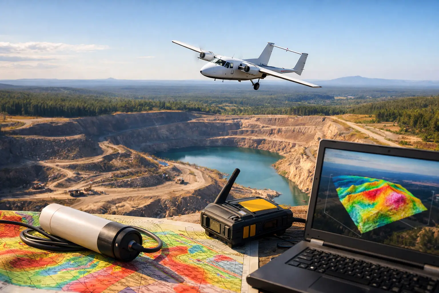
A concealed fault can redirect groundwater, displace an orebody, complicate a tunnel alignment, or create an unplanned engineering constraint. Surface mapping alone may not reveal it. That is why the top use cases for aeromagnetics are centered on decisions where subsurface structure, not just visible terrain, determines project risk, value, and schedule.
Aeromagnetic surveying measures spatial variations in Earth’s magnetic field caused by contrasts in the magnetic properties of underlying rock, buried metal, and certain engineered features. A calibrated magnetometer, carried on a drone or aircraft, records total magnetic intensity along tightly planned flight lines. After diurnal correction, positioning validation, leveling, micro-leveling, and interpretation, the survey becomes a map of magnetic anomalies and structural trends rather than a collection of raw readings.
For enterprise projects, the value lies in converting that response into traceable geoscience intelligence. Aeromagnetics does not replace drilling, trenching, or geotechnical investigation. It directs those higher-cost activities toward the locations most likely to answer the project’s critical questions.
Top Use Cases for Aeromagnetics: Where It Delivers Value
Mineral exploration and target generation
Mineral exploration remains the most established application for aeromagnetic data. Many prospective geological settings contain minerals associated with magnetic rocks, alteration zones, intrusive bodies, mafic and ultramafic units, or structural controls that can be recognized through magnetic contrast. The most valuable outcome is often not a direct detection of mineralization. It is a clearer geological model that identifies where mineralization is more likely to occur.
Aeromagnetic interpretation can delineate lithological contacts beneath sand, alluvium, weathered cover, and inaccessible terrain. It can also identify faults, shear zones, folds, dikes, ring structures, and buried intrusive complexes that may control fluid flow and ore deposition. In large Saudi Arabian exploration blocks, this capability is particularly relevant where outcrop is discontinuous and regional access can be logistically demanding.
Drone-borne systems offer a practical advantage during early-stage programs. They can mobilize rapidly over focused license areas, fly low and consistently where operating approvals permit, and acquire high-resolution coverage that helps prioritize field mapping, sampling, and drilling. The trade-off is survey scale. Fixed-wing or manned platforms may still be more economical for very large regional blocks, while drones are often strongest for detailed follow-up, prospect-scale infill, and difficult terrain.
Fault, shear, and structural corridor mapping
Faults and shear zones are not merely geological annotations. They influence mineral prospectivity, groundwater movement, slope behavior, foundation conditions, and pipeline routing. Yet many structural features are obscured at the surface or expressed only through subtle changes in rock type and magnetic fabric.
Processed magnetic derivatives, reduced-to-pole products where appropriate, analytic signal, tilt derivatives, and lineament interpretation can help define the geometry and continuity of these structures. The interpretation must account for latitude, remanent magnetization, depth, cultural interference, and the limits of magnetic resolution. A linear anomaly is not automatically a fault. It requires cross-validation against geology, satellite imagery, LiDAR terrain models, field observations, and, where available, electromagnetic or seismic data.
For project owners, the outcome is a more defensible structural framework. That framework can guide corridor selection, refine drilling orientation, identify zones requiring additional geotechnical attention, and reduce uncertainty before detailed engineering begins.
Groundwater exploration and aquifer characterization
Aeromagnetics supports groundwater programs by mapping the geological architecture that controls storage, recharge, and flow. In hard-rock settings, productive groundwater is often associated with fracture networks, weathered zones, fault intersections, buried channels, and contrasts between bedrock units. Magnetic data can identify structures and basement patterns that are not visible on the surface.
The method is most effective when used as part of an integrated hydrogeological workflow. Magnetics can map structural controls, while electromagnetic data may provide stronger sensitivity to conductivity, salinity, saturated zones, and clay-rich materials. Borehole records, pumping tests, geochemistry, and field hydrogeology remain necessary to confirm yield and water quality.
This distinction matters for procurement. A magnetic anomaly alone should not be presented as a guaranteed water target. A disciplined survey program uses aeromagnetics to narrow the search area, design follow-up geophysics, and position exploratory wells against an interpreted geological model. That reduces the probability of drilling blind in large, complex terrain.
Buried infrastructure and utility corridor assessment
Ferrous pipelines, buried tanks, well casings, cables with metallic components, fences, rail assets, and abandoned industrial infrastructure can create measurable magnetic signatures. Aeromagnetic surveys can support preliminary corridor assessments where broad coverage is required and ground access is restricted, hazardous, or inefficient.
The strongest use case is strategic screening rather than centimeter-level utility designation. Magnetic methods can indicate the presence of magnetic objects or disturbed ground patterns and can help flag zones for targeted ground geophysics, records review, trial pits, or engineering investigation. Ground-penetrating radar and electromagnetic utility detection may be better suited to shallow, localized utility mapping, depending on soil conditions and the material being sought.
For linear infrastructure, magnetic data can also reveal bedrock structure and fault zones beneath a planned route. This is useful for pipelines, roads, transmission corridors, and major earthworks where changing ground conditions can affect design quantities, excavation methods, drainage, and long-term asset integrity.
Oil, gas, and energy infrastructure planning
Aeromagnetics has a focused but useful role in energy programs. At basin scale, magnetic data can help estimate basement configuration, identify structural trends, and support regional tectonic interpretation. For field development and infrastructure planning, it can contribute to route assessment, fault mapping, and characterization of areas where surface access or conventional field reconnaissance is constrained.
It should not be positioned as a replacement for seismic in reservoir imaging. Seismic remains the principal method for resolving many sedimentary structures and stratigraphic targets. Magnetic data adds value where basement depth, volcanic units, igneous intrusions, regional structures, or operational access are central concerns. The two methods answer different questions and can be integrated to improve confidence.
Drone deployment is particularly valuable for targeted studies around facilities, remote corridors, and proposed expansions, subject to airspace, safety, and site-operating requirements. The operational objective is faster acquisition of decision-grade context without exposing field teams to unnecessary ground risk.
Geotechnical reconnaissance for major development
Megaprojects, industrial zones, dams, mines, and transportation networks require early understanding of ground conditions across large footprints. Aeromagnetics can support reconnaissance by identifying changes in bedrock type, concealed dikes, faulted zones, magnetic fill materials, and possible buried features that warrant closer investigation.
This information is not a substitute for boreholes, test pits, laboratory testing, or detailed geotechnical design. Its role is to improve the placement and prioritization of those investigations. A well-designed survey can expose areas where simple grid-based drilling may miss a structural boundary or underestimate variability across the site.
When combined with LiDAR, photogrammetry, and terrain analysis, magnetic interpretation gives planners both surface and subsurface context. The result is a more efficient investigation plan, clearer risk register, and better basis for sequencing detailed engineering work.
Environmental baseline and legacy site screening
At former industrial sites, mine areas, and brownfield developments, magnetic surveys can help identify ferrous debris, buried drums, historic workings, rails, foundations, and other legacy features that may affect remediation or construction planning. The method is nonintrusive and can cover areas that would be slow or unsafe to traverse on foot.
Interpretation requires caution. Magnetic response identifies contrast, not contamination chemistry. A buried metal anomaly may indicate harmless scrap, a structural feature, or a potential environmental concern. Follow-up investigation must combine magnetic results with site history, visual inspection, soil sampling, and, where relevant, environmental laboratory analysis.
What Makes an Aeromagnetic Survey Defensible
The quality of an aeromagnetic project is determined long before interpretation begins. Survey design must define the decision to be supported, target depth, expected anomaly scale, terrain clearance, line spacing, tie-line geometry, sensor specifications, base-station requirements, and cultural-noise risks. A survey designed for regional geology will not necessarily resolve shallow utilities, and a utility-oriented grid may be inefficient for deep structural interpretation.
A defensible delivery also requires documented calibration, synchronized positioning, altitude control, diurnal correction, compensation where platform effects require it, line leveling, crossover analysis, and transparent QA/QC reporting. The final package should include processed grids, maps, flight and acquisition records, anomaly or structural interpretations, methodology, limitations, and recommendations for follow-up work.
Air Solutions approaches aeromagnetics as an interpreted, auditable data product rather than a sensor deployment. That distinction matters when results will inform capital allocation, drilling budgets, route selection, permitting, or engineering design.
The most effective next step is to frame the survey around a specific decision: where to drill, which corridor to avoid, which structure to test, or where additional investigation is justified. Once that decision is clear, line spacing, sensor selection, complementary datasets, and reporting requirements can be engineered to produce evidence that stands up to technical and commercial review.