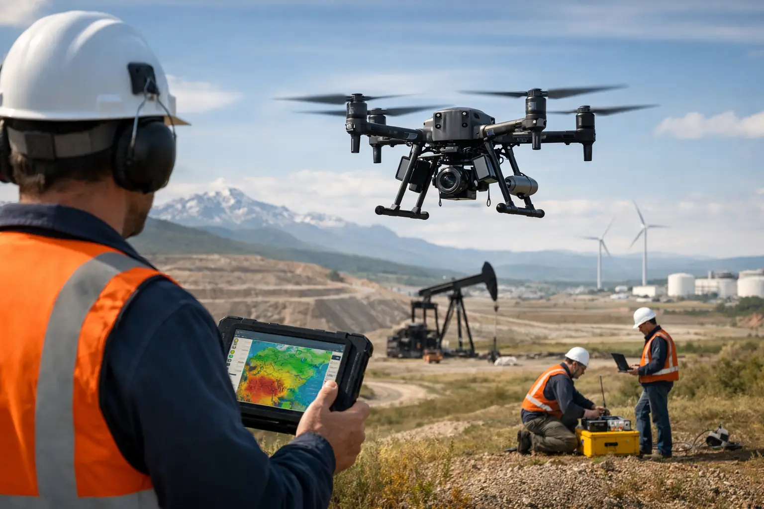
A magnetic anomaly that takes weeks to delineate on foot can often be mapped in days from the air, provided the survey is designed around the geology, infrastructure constraints, and required decision threshold. Drone magnetometer systems make that shift possible by combining low-altitude magnetic acquisition with precise navigation, disciplined calibration, and processing workflows that convert sensor readings into interpretable geospatial intelligence.
For exploration managers, infrastructure planners, and water-resource teams, the value is not simply faster data collection. It is the ability to acquire high-resolution magnetic coverage in areas where ground access is slow, hazardous, restricted, or too disruptive to active operations. The resulting deliverable must still be defensible: calibrated, cross-validated, and traceable from field acquisition through final interpretation.
What Drone Magnetometer Systems Measure
A drone magnetometer system measures variations in the Earth's magnetic field. Those variations can be caused by contrasts in magnetic mineral content, buried ferrous objects, bedrock structures, volcanic units, dikes, faults, archaeological features, and utility corridors. The sensor records total magnetic intensity or, in specialized configurations, magnetic gradients along a controlled flight path.
The critical distinction is between the magnetic field observed by the sensor and the anomaly of project interest. Raw readings contain contributions from the regional field, daily magnetic variation, aircraft motion, sensor orientation, nearby metallic objects, and electromagnetic interference. A survey becomes decision-grade only after these influences are characterized, corrected where appropriate, and documented.
For mineral exploration, magnetic data may support lithological mapping, structural interpretation, target generation, and drill planning. In infrastructure and utility environments, it can help identify ferrous pipelines, abandoned wellheads, buried debris, and potential construction constraints. For groundwater investigations, magnetics is rarely a stand-alone answer, but it can define basement structure, fault zones, and geologic contacts that inform an integrated hydrogeological model.
The System Is More Than the Sensor
Procurement teams sometimes compare systems by magnetometer sensitivity alone. Sensitivity matters, but it does not determine survey quality by itself. The operational system includes the aircraft, sensor mounting arrangement, navigation payload, base station strategy, flight-planning logic, field procedures, processing chain, and QA/QC controls.
Sensor selection and magnetic cleanliness
Optically pumped magnetometers, including cesium and potassium vapor instruments, are widely used for high-resolution airborne magnetic surveys because they provide rapid, sensitive total-field measurements. Fluxgate sensors may be suitable for particular vector or navigation applications, but their operating characteristics and compensation needs differ. The right choice depends on the survey objective, required spatial resolution, line spacing, terrain, payload capacity, and environmental conditions.
Equally important is magnetic cleanliness. Motors, batteries, power distribution hardware, landing gear, fasteners, payload-release mechanisms, and even cabling can introduce interference. A well-designed system places the sensor on a nonmagnetic boom or suspended configuration at sufficient separation from the airframe. That separation creates trade-offs: a longer boom can reduce aircraft interference but may affect handling, transport, and flight endurance.
Pre-deployment magnetic characterization should establish the platform's interference signature across representative flight states. This work is not administrative overhead. Without it, apparent anomalies may reflect the aircraft rather than the subsurface.
Navigation and terrain following
Magnetic resolution is strongly linked to sensor height above ground. Flying closer to the surface generally improves detection of shallow or narrow targets, but low altitude increases terrain-following demands and operational risk. Accurate GNSS positioning, inertial measurements, radar or laser altitude data, and terrain models work together to maintain planned clearance and preserve data consistency.
In mountainous terrain, wadis, dense industrial sites, or areas with abrupt elevation changes, a nominal altitude target may not be enough. Flight lines must be engineered with safety margins, aircraft performance, obstacle limitations, and the required magnetic wavelength in mind. A survey that is technically ambitious but cannot be flown consistently will not produce uniform coverage.
Base-station correction and temporal control
The Earth's magnetic field changes throughout the day. A stationary ground magnetometer records this diurnal variation while the drone is operating. Field data can then be corrected against the base-station record, subject to appropriate timing synchronization and quality checks.
External magnetic activity can also degrade a survey. Operations should include review of geomagnetic conditions before and during acquisition, with clear criteria for pausing, repeating, or excluding affected data. This is particularly relevant for projects requiring subtle anomaly detection or correlation across multiple acquisition days.
Survey Design Determines the Useful Resolution
Drone magnetometer systems are often selected because they can fly lower and more flexibly than conventional crewed aircraft. That advantage only delivers value when line direction, line spacing, sampling rate, tie-line pattern, and flight altitude are tied directly to the target model.
If the objective is to map a broad regional structural trend, wider spacing may be acceptable. If the objective is to delineate narrow dikes, small magnetic bodies, buried utilities, or localized ferrous hazards, closer line spacing and tighter terrain clearance may be required. Increasing density improves spatial detail but adds flight time, battery cycles, processing volume, and operational complexity.
Flight direction is equally consequential. Traverse lines are commonly oriented perpendicular to the expected geological strike or target trend, while tie lines cross them at a wider interval to test line-to-line consistency and support leveling. Where the target orientation is uncertain, a preliminary survey or review of existing geophysical and geological data can prevent an inefficient acquisition design.
The final specification should define more than a coverage polygon. It should state target depth assumptions, anomaly size expectations, acceptable altitude variation, line-spacing tolerance, navigation accuracy, diurnal correction method, tie-line requirements, and deliverables. This converts a general drone deployment into a measurable technical program.
From Raw Measurements to Interpreted Intelligence
Processing begins with preservation of the original acquisition record. Raw magnetometer, GNSS, inertial, altitude, base-station, and flight-log data should be retained under a controlled naming and versioning structure. That audit trail is essential when results are reviewed by technical stakeholders, lenders, regulators, or downstream engineering teams.
A standard processing sequence may include time synchronization, removal of invalid observations, diurnal correction, heading and lag assessment, altitude review, line leveling, micro-leveling, gridding, and residual or derivative products. Each stage needs acceptance criteria. For example, line intersections should be evaluated for residual mismatch, altitude excursions should be flagged, and repeat lines should be compared against original data to verify reproducibility.
Interpretation is where the survey becomes useful to a project owner. Magnetic maps, reduced-field products, analytic signal, vertical derivatives, tilt derivatives, and modeled source geometries can reveal different aspects of the subsurface. No single transform should be treated as definitive. Derivative products can sharpen shallow features, but they can also amplify noise. Reduction methods can improve interpretability in some latitudes and geological settings, while introducing uncertainty in others.
The strongest reporting integrates magnetic results with available geology, drilling, satellite imagery, LiDAR terrain, electromagnetic data, ground geophysics, and site records. Air Solutions applies this multi-sensor approach to move beyond image delivery toward interpreted constraints that can support field follow-up, corridor planning, and investment decisions.
Where the Technology Delivers the Most Value
The commercial case for drone magnetics is strongest where conventional access creates cost, safety, or schedule friction. In mineral exploration, rapid low-altitude surveys can prioritize prospective structures before extensive ground programs or drilling. In large desert concessions, quick mobilization and repeatable coverage can accelerate early-stage screening while limiting personnel exposure.
For linear infrastructure, magnetic surveys can support route studies, identify ferrous obstructions, and assist in locating legacy assets where records are incomplete. They should not automatically replace utility-specific methods such as electromagnetic locating or ground-penetrating radar. The correct approach depends on material type, burial depth, soil conditions, congestion, and the level of positional certainty required for excavation.
On energy and industrial sites, magnetic data can contribute to pre-construction risk assessment, buried-object investigation, and site characterization. However, active facilities present a difficult magnetic environment. Steel structures, vehicles, power systems, fences, and operating equipment may limit usable airspace or contaminate observations. In these cases, segmented survey design and complementary ground methods may be more practical than attempting one continuous airborne dataset.
QA/QC Is the Difference Between Coverage and Confidence
A visually complete map is not proof of a valid survey. Decision-makers should expect documented evidence that the data meets specification. This includes pre-flight sensor checks, base-station records, aircraft interference characterization, flight-line compliance, altitude statistics, repeat-line comparisons, crossover analysis, processing logs, anomaly review, and clear statements of limitations.
Traceability also matters when a project evolves. A mining target may later be drilled. A proposed utility route may move. An infrastructure anomaly may require excavation. When the acquisition and processing chain is fully auditable, the original data can be reprocessed against a refined geological model or updated engineering question without rebuilding the project record from memory.
The practical question is not whether a drone can carry a magnetometer. It is whether the full system, survey design, and QA/QC framework are proportionate to the decision at stake. When they are, magnetic data becomes a controlled source of subsurface intelligence rather than another layer of unverified imagery.