A drilling program can lose weeks to an incorrectly prioritized anomaly. A transmission route can face expensive redesign when buried infrastructure is identified after grading begins. These are the operating conditions that make the top use cases for drone geophysics commercially significant. The value is not the aircraft itself. It is the ability to acquire calibrated geophysical and terrain data quickly, then convert it into traceable interpretations that support field decisions, engineering design, and investment approval.
Drone platforms do not replace every ground survey, borehole, or conventional airborne campaign. They do, however, fill a high-value gap between broad regional intelligence and slow, access-constrained field acquisition. For industrial operators, the best applications are those where rapid mobilization, close line spacing, difficult terrain, or reduced personnel exposure materially improve the project outcome.
Top Use Cases for Drone Geophysics
1. Mineral exploration and drill-target definition
Aeromagnetic surveys are among the most established uses of drone geophysics in mineral exploration. A low-altitude drone magnetic survey can resolve structural features, lithological contacts, dikes, faults, alteration-related signatures, and magnetic bodies that may not be apparent in satellite imagery or widely spaced regional datasets.
This is particularly valuable when an exploration team needs to narrow a large license area into defensible drill targets. The survey design can be calibrated around expected target geometry, with line direction, spacing, terrain clearance, and tie-line density selected to preserve the anomalies that matter. Processed magnetic products may include total magnetic intensity, reduced-to-pole transformations where appropriate, derivative maps, analytic signal, and structurally interpreted targets.
The trade-off is straightforward: magnetic data identifies contrasts in magnetic susceptibility, not mineralization directly. A compelling anomaly still requires geological context, ground verification, and often geochemical or drilling evidence. Its value lies in reducing uncertainty before those higher-cost steps begin. In Saudi Arabia and comparable shield terrains, drone magnetics can be especially effective for mapping exposed and shallowly buried structures across rugged, remote ground.
2. Groundwater exploration and aquifer characterization
Water-resource programs require more than a map of likely drilling locations. They require an evidence base for understanding fractured bedrock, alluvial channels, weathered zones, salinity risk, and the geometry of potential aquifer units. Drone-borne electromagnetic and magnetic methods can contribute materially to that evidence base when integrated with hydrogeology, borehole records, terrain analysis, and existing geophysical control.
Electromagnetic measurements can help delineate conductive zones associated with clay-rich material, saline groundwater, saturated sediments, or alteration. Magnetic data can add structural context, particularly where faults and fracture corridors control groundwater movement. LiDAR-derived terrain models and photogrammetric surface mapping further strengthen interpretation by identifying drainage pathways, lineaments, wadi systems, and recharge-relevant geomorphology.
The critical discipline is interpretation. High conductivity does not automatically indicate productive freshwater. It can also indicate saline water or clay. A decision-grade groundwater deliverable therefore cross-validates airborne responses against available well logs, water chemistry, geology, and targeted ground investigation. The objective is to improve well siting and field prioritization, not to make unsupported yield claims from a single sensor dataset.
3. Utility corridor planning and buried-asset risk reduction
Linear infrastructure creates a demanding survey environment. Transmission lines, pipelines, rail alignments, highways, and industrial corridors may cross variable terrain, restricted access zones, and areas with incomplete records of buried assets. Drone geophysics supports route planning by combining terrain intelligence with targeted subsurface screening and asset mapping.
Magnetic surveys can identify ferrous utilities, abandoned infrastructure, and disturbance patterns. Ground-penetrating radar, where site conditions allow, provides high-resolution investigation of shallow subsurface features. LiDAR and photogrammetry provide the surface control needed to assess slopes, drainage, access constraints, encroachments, and construction interfaces. These datasets are most useful when registered within a common coordinate framework and delivered through GIS-ready layers with stated confidence levels.
No single sensing method detects every utility. GPR performance can decline sharply in conductive or saturated soils, while magnetic methods will not reliably identify nonmetallic pipes. Utility detection should therefore be treated as a risk-reduction workflow, supported by records review, field verification, and conventional locating where required. The operational benefit is earlier identification of high-risk zones before crews commit to excavation or final route design.
4. Oil, gas, and industrial site screening
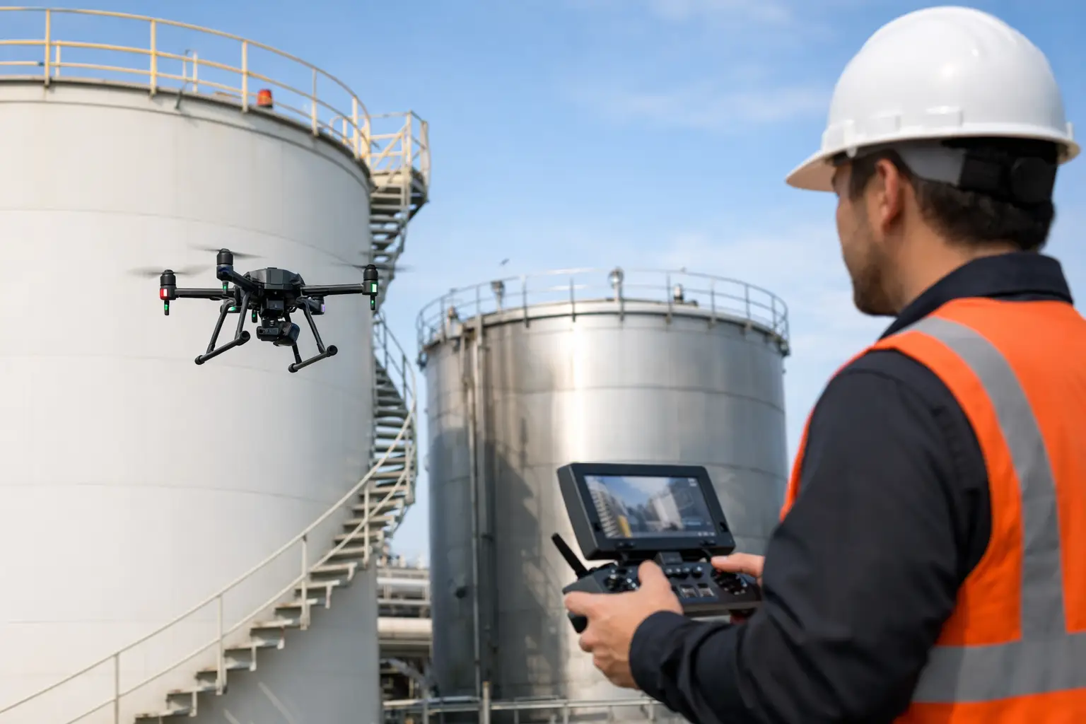
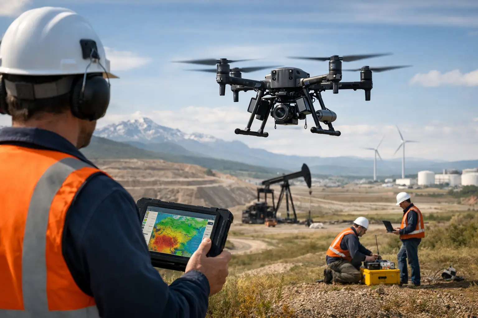
For energy and industrial operators, drone geophysics is often deployed around constrained assets rather than across large exploration blocks. Typical applications include mapping pipelines and rights-of-way, identifying near-surface disturbance, characterizing terrain for facility expansion, and screening inaccessible areas around tanks, processing plants, well pads, or legacy infrastructure.
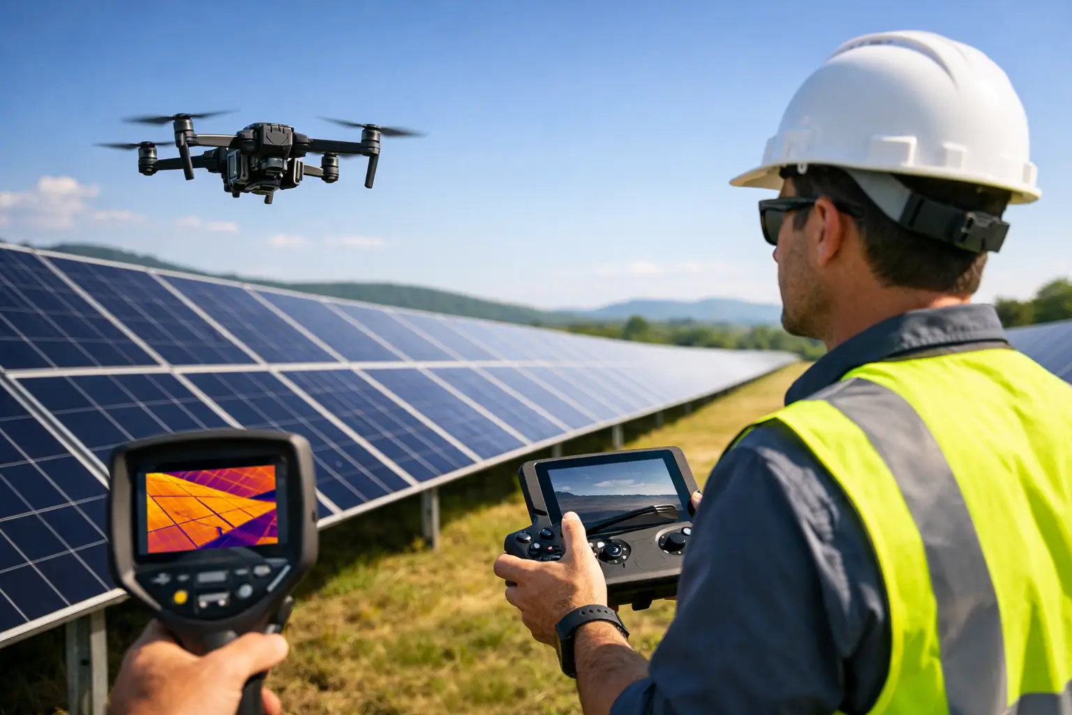
A multi-sensor campaign can combine LiDAR elevation data, high-resolution imagery, magnetic mapping, radiometric measurements, and thermal or hyperspectral data when the decision question justifies them. The result is a more complete operating picture: drainage that threatens earthworks, surface changes around linear assets, possible ferrous infrastructure, vegetation stress, or material contrasts requiring field investigation.
The case for drone deployment becomes strongest where manned aircraft are disproportionate to the survey footprint and ground teams would face access, safety, or productivity constraints. Aviation planning, exclusion zones, electromagnetic interference assessment, and site-specific safety procedures remain essential. A technically capable sensor is of limited value if its data are degraded by active plant interference or collected without controlled positioning and QA/QC.
5. Mine planning, geotechnical context, and closure monitoring
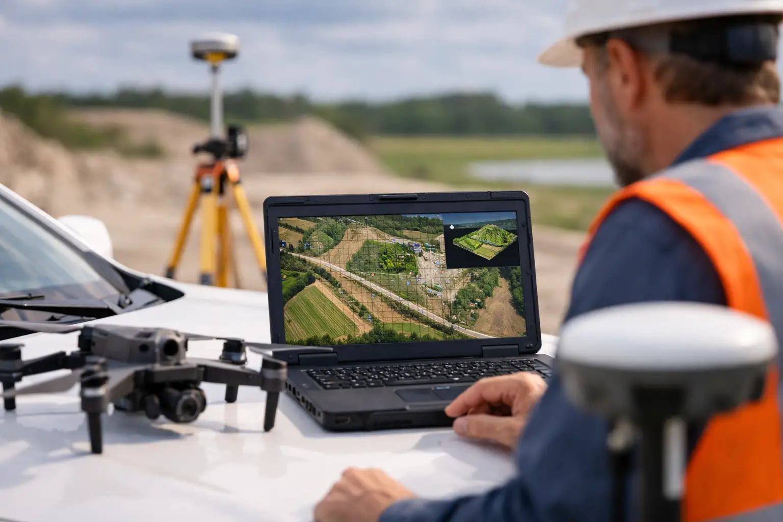
Mining operations need current spatial intelligence throughout the asset lifecycle. Before development, geophysical and terrain surveys can support structural interpretation, access planning, and target refinement. During operations, repeat LiDAR and photogrammetry surveys can measure stockpiles, monitor pit-wall geometry, track haul-road condition, and document changes in waste facilities or drainage systems.
Drone magnetics may also provide useful context around faults, intrusive contacts, and buried geological variability near planned infrastructure. When paired with field mapping and geotechnical investigation, these datasets can assist with identifying zones that merit closer review. For closure and environmental management, repeatable drone surveys create an auditable record of landform change, erosion development, revegetation progress, and surface-water behavior.
Repeatability is the differentiator. A survey flown with documented control, consistent sensor configuration, and defined processing parameters can be compared across time. That makes the output suitable for trend assessment rather than one-time visualization. It also helps technical teams explain what changed, where it changed, and whether the change exceeds expected measurement tolerance.
6. Environmental baseline and remediation investigation
Environmental programs frequently depend on spatial coverage that is difficult to achieve through isolated sampling points. Drone geophysics and remote sensing help establish baseline conditions and focus intrusive investigation where it will produce the greatest value. Radiometric mapping can support natural background characterization and material differentiation. Hyperspectral and multispectral imaging can identify surface mineralogical variation, vegetation stress, and moisture-related patterns. Terrain models reveal drainage pathways that influence contaminant transport and erosion.
For remediation sites, magnetic surveys can assist in locating buried ferrous debris, drums, or legacy infrastructure. Electromagnetic responses can highlight conductive zones that warrant further investigation. These are screening tools, not substitutes for laboratory analysis, regulatory sampling plans, or hydrogeological assessment. Their strength is directing those activities with better spatial intelligence and a documented rationale.
What Separates a Useful Survey From a Defensible One
The sensor selection is only one part of the assignment. Survey altitude, line spacing, speed, terrain-following method, base-station control, sensor calibration, diurnal correction, navigation accuracy, and interference management all affect whether anomalies can be trusted. A project should begin with a defined decision question: locate structural targets, reduce utility risk, prioritize groundwater drilling, calculate volumes, or establish environmental baseline conditions.
That question determines the acquisition specification and the reporting package. Enterprise users should expect flight logs, calibration records, coverage maps, processing methodology, QA/QC documentation, uncertainty statements, and interpreted outputs that can be reviewed by their own geologists, engineers, or regulators. Raw data without context shifts interpretation risk back to the client. Air Solutions structures delivery around processed, cross-validated geospatial intelligence rather than sensor files alone.
The most effective next step is usually a focused pilot survey over a known decision area. It allows the team to test signal quality, validate the method against existing control, refine the specification, and establish a reliable basis for full deployment before capital-intensive field programs are committed.