A subsurface anomaly mapping guide is only useful if it helps a project team distinguish a meaningful target from ordinary geological variation, cultural interference, or processing artifacts. For mining, water, utilities, energy, and major infrastructure programs, that distinction determines whether capital is directed toward drilling, excavation, avoidance, or additional investigation.
The objective is not to produce an attractive geophysical map. It is to produce calibrated, traceable evidence that supports a defined engineering, exploration, or environmental decision. That requires a survey design tied to the physical question at hand, disciplined acquisition controls, and interpretation that accounts for both sensor limitations and site conditions.
Start With the Decision, Not the Sensor
An anomaly is a measurable departure from an expected background response. It may indicate a fault zone, buried utility, void, conductive groundwater pathway, mineralized structure, ferrous object, landfill boundary, archaeological feature, or changes in bedrock and overburden. The same response can have very different implications depending on project context.
Before selecting a platform or method, define the decision that the investigation must support. A mine exploration team may need to rank structural targets for follow-up drilling. An EPC contractor may need to identify potential utility conflicts along a proposed corridor. A hydrology program may need to delineate fracture-controlled groundwater prospects. These are not interchangeable scopes, even when they occupy the same terrain.
The project brief should establish the target type, anticipated depth range, minimum feature size, survey area, terrain constraints, required positional accuracy, and acceptable uncertainty. It should also identify what will happen after a target is mapped. If excavation, drilling, or engineering redesign is the next action, anomaly confidence and location accuracy must be matched to that consequence.
Build a Conceptual Site Model
A survey is more efficient when acquisition begins with a defensible conceptual model. Review available geology, borehole logs, utility records, historic imagery, topographic data, prior geophysical work, construction drawings, and known sources of interference. In desert and industrial environments, surface infrastructure, fencing, vehicles, pipelines, powerlines, and variable ground conductivity can materially affect results.
The conceptual model should answer several operational questions in prose, not assumptions: What background response is expected? Which materials or structures could produce the target anomaly? What non-target features might produce a similar signal? Where are the likely access, flight, safety, or permitting constraints?
This step also determines whether the anomaly is likely to be magnetic, conductive, radiometric, geometric, topographic, or visible in spectral data. No single method is universally superior. Sensor selection depends on contrast between the target and its host environment.
Select Sensors for Physical Contrast
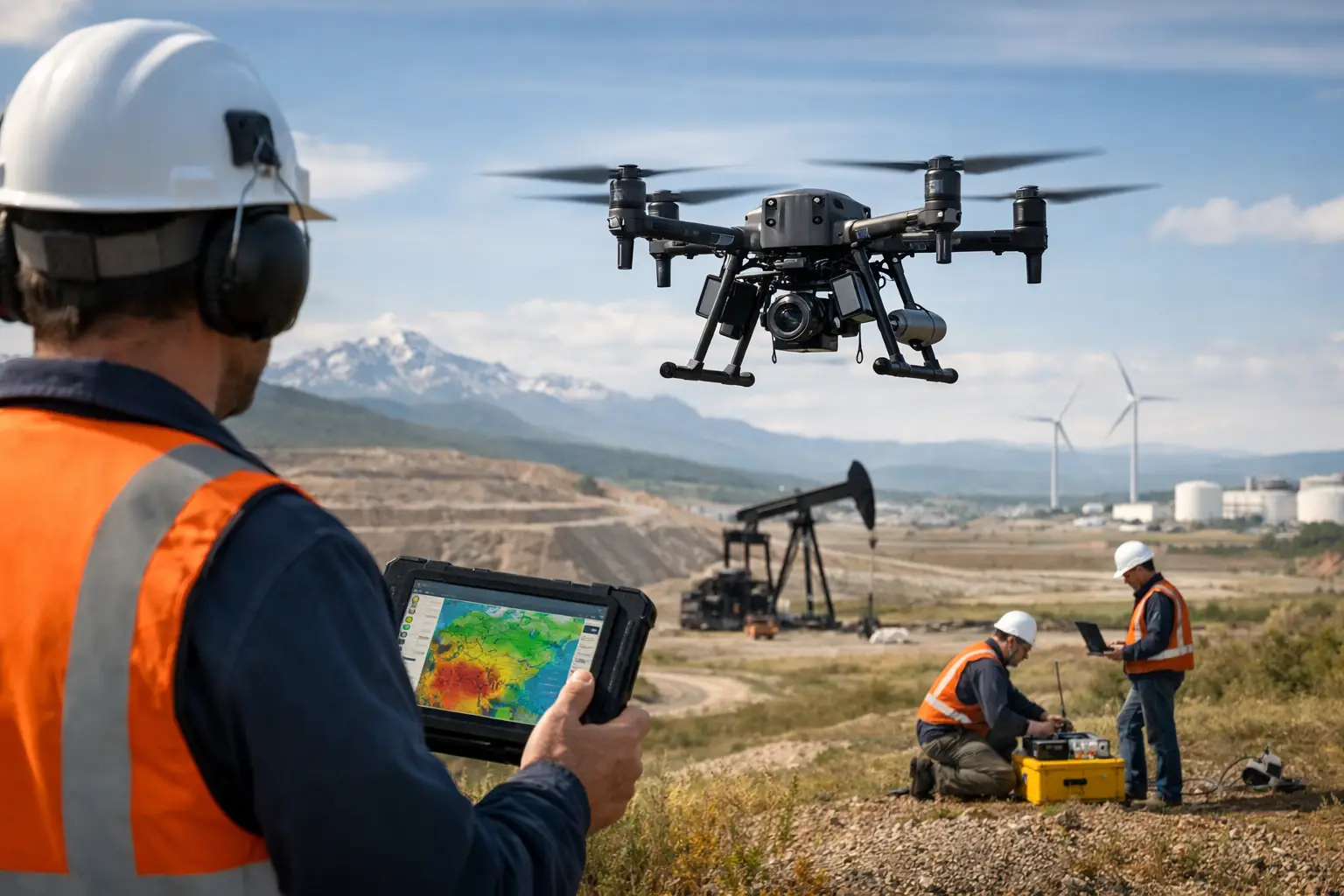
Aeromagnetic surveys are effective where targets create measurable variations in magnetic susceptibility or remanent magnetization. They are commonly used to map faults, dikes, basement structure, magnetic lithologies, buried ferrous infrastructure, and mineralization-related patterns. High-resolution drone magnetics can provide dense coverage at low altitude where terrain and airspace conditions permit.
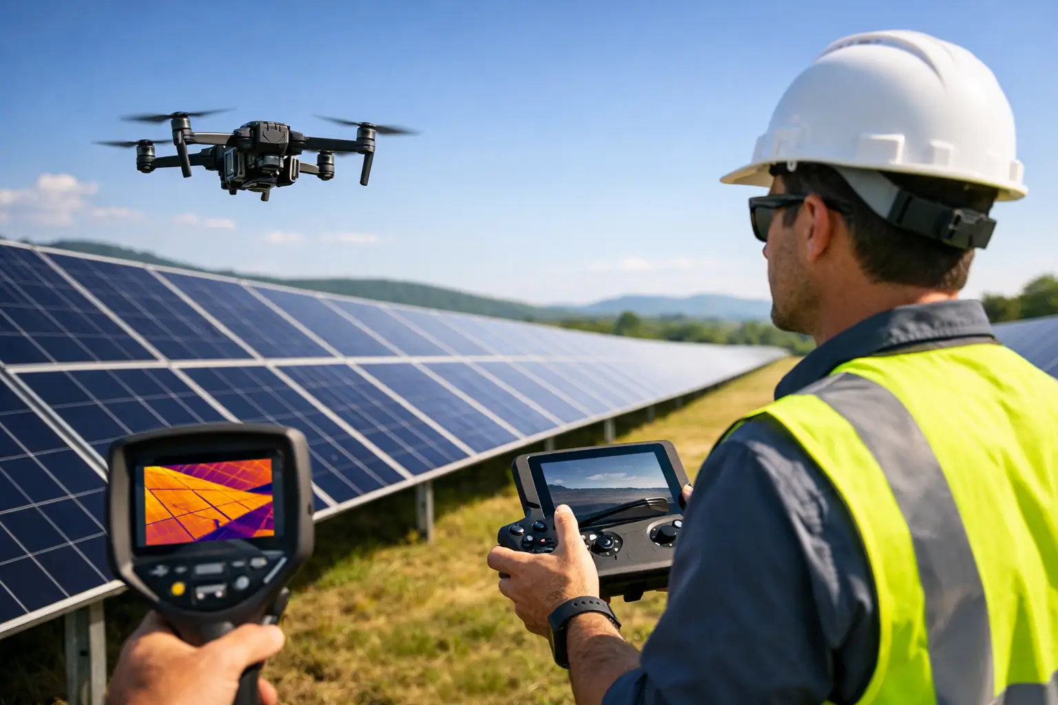
Electromagnetic methods respond to contrasts in electrical conductivity. They can be valuable for conductive groundwater zones, saline intrusion, clay-rich horizons, conductive mineralization, buried waste, and some utility applications. Their depth of investigation and resolution depend on the system configuration, target conductivity, terrain, and background geology.
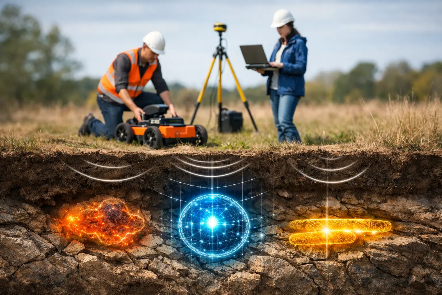
Ground-penetrating radar is often appropriate for shallow, high-resolution investigation of utilities, voids, pavements, and near-surface stratigraphy. Its performance declines in conductive soils, saturated clays, and some saline conditions. LiDAR and photogrammetry do not directly measure the subsurface, but they provide terrain, surface expression, drainage, structural lineament, and corridor-control data that can materially improve interpretation.
Radiometric and hyperspectral data can add value where surface mineralogy, alteration, lithology, or material classification informs the anomaly model. The most defensible programs use these methods as complementary evidence, not as isolated deliverables.
Multi-Sensor Fusion Reduces Ambiguity
A magnetic low alone may reflect a geological contact, weathered zone, excavation, or cultural disturbance. If it aligns with a conductivity contrast, a mapped lineament, and a groundwater discharge zone, the interpretation becomes more credible. Conversely, if the feature coincides with a known pipeline corridor or fence line, it may be operational noise rather than a drill target.
Multi-sensor fusion is most effective when datasets are acquired to compatible coordinate, elevation, and timing standards. Each layer must retain documented metadata, processing lineage, and uncertainty information. Combining poorly controlled datasets can create false confidence rather than clarity.
Design the Survey Geometry
Line spacing, sample interval, flight altitude, speed, heading, and tie-line design control the survey's ability to resolve a target. A common error is selecting line spacing based on budget alone, then expecting the dataset to identify features smaller than the spacing can reliably characterize.
For linear geological structures, survey lines should generally cross the expected strike direction as close to perpendicular as practical. For corridor work, the survey geometry must provide lateral coverage beyond the design footprint so that off-axis hazards and geological controls are not missed. For localized targets, tighter grids may be justified, but only after considering depth and expected anomaly footprint.
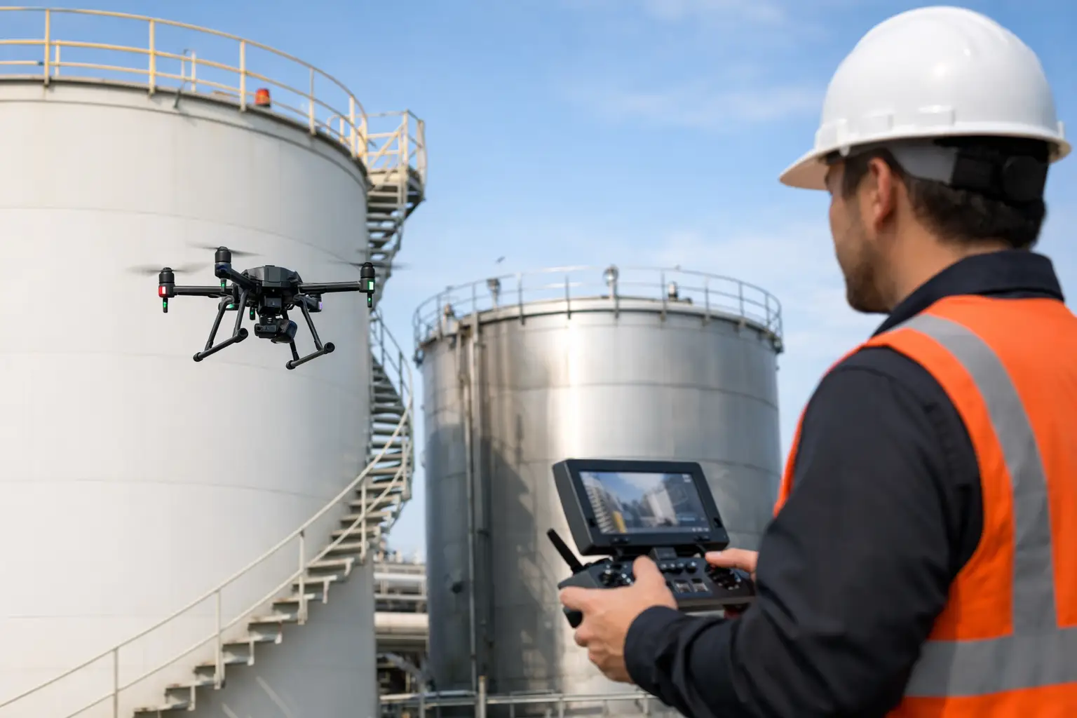
Drone deployment provides flexibility in difficult terrain and can reduce mobilization time compared with conventional aircraft. It does not remove the need for disciplined flight planning. Terrain-following capability, obstacle clearance, sensor standoff, magnetic cleanliness of the platform, ground control, and local aviation requirements must be incorporated before acquisition begins.
Apply QA/QC During Acquisition
Decision-grade mapping cannot be repaired solely in post-processing. Field QA/QC should monitor positional integrity, sensor health, line adherence, altitude consistency, data gaps, noise levels, repeatability, and environmental conditions throughout the mission.
For magnetic work, this includes base-station monitoring where applicable, diurnal correction controls, heading assessment, tie-line agreement, and checks for platform-induced interference. For electromagnetic programs, coupling effects, transmitter-receiver stability, calibration verification, and line-to-line consistency require close attention. For LiDAR and photogrammetry, control-point quality, overlap, point density, image sharpness, and georeferencing residuals must be reviewed before demobilization.
A useful operational standard is to identify exceptions while the crew is still on site. Re-flying a short line block is usually manageable. Discovering incomplete coverage after equipment has left a remote project area is not.
Process Data Without Erasing the Signal
Processing converts field measurements into interpretable products, but every filter, correction, interpolation method, and leveling decision changes the data. The processing workflow should therefore be documented and reproducible.
For magnetic datasets, this may include removal of temporal variation, compensation, leveling, micro-leveling, reduction transformations, derivatives, continuation, and analytical signal products. For electromagnetic data, workflows may include calibration adjustments, noise removal, inversion, conductivity-depth imaging, and uncertainty assessment. The appropriate sequence depends on the sensor and target model.
Over-processing is a material risk. Aggressive smoothing can suppress subtle anomalies; excessive enhancement can create visually persuasive artifacts. Technical reviewers should be able to inspect both the processed products and the source-quality controls that justify them.
Interpret Anomalies by Confidence and Consequence
An anomaly map should not treat every feature as equally significant. Interpretation should separate observations from inferred causes and assign confidence based on signal strength, spatial coherence, repeatability, agreement across methods, geological plausibility, and known cultural interference.
A practical deliverable set typically includes:
- Calibrated georeferenced datasets and survey coverage records
- Processed grids, profiles, and derivative maps appropriate to each sensor
- Anomaly polygons or target points with ranked confidence categories
- Interpretation layers showing geology, infrastructure, terrain, and constraints
- A QA/QC register, processing record, and recommended verification actions
Target ranking should connect directly to project action. A high-confidence conductive structure may warrant drilling or targeted ground geophysics. A moderate-confidence utility response may require potholing before construction. A low-confidence feature may be retained for monitoring without delaying the program.
Verify Where Uncertainty Matters Most
Geophysics reduces uncertainty; it does not eliminate it. Verification is appropriate when the cost of being wrong exceeds the cost of additional investigation. The right verification method depends on the target: boreholes for geological or groundwater targets, test pits for shallow material changes, potholing for utilities, or higher-density ground surveys for ambiguous responses.
Air Solutions applies this decision-led approach to drone-based geophysical and terrain intelligence programs, integrating acquisition planning, documented QA/QC, and interpreted outputs suitable for technical and executive review. The value is not the sensor flight alone. It is the defensible chain from project question to field evidence to recommended action.
The strongest next step is usually not wider coverage or more processing. It is a focused verification plan that tests the few anomalies most capable of changing the project's cost, schedule, safety exposure, or resource decision.