A mass excavation can appear on schedule from the haul road while the quantity record tells a different story. One unmeasured stockpile, an outdated design surface, or a survey completed after material has been moved can distort cut-and-fill reporting by thousands of cubic yards. To monitor construction earthwork volumes effectively, project teams need a repeatable measurement system that ties field conditions, design intent, survey control, and reporting dates into one traceable record.
For owners, EPC contractors, and construction managers, the objective is not simply to produce a colorized map. It is to establish defensible quantities for progress certification, contractor reconciliation, production planning, and cost control. Drone-based photogrammetry and LiDAR can accelerate this process substantially, but only when deployment, processing, and QA/QC are engineered around the decisions the data must support.
Why Earthwork Volume Control Fails
Earthwork quantity disputes rarely begin with the volume calculation itself. They begin earlier, when teams compare surfaces that were built from different control networks, different boundary assumptions, or different material states. A survey may be technically accurate within its own dataset yet unsuitable for payment or progress reporting because it cannot be reconciled to the approved design model.
The most common issue is an undefined baseline. A pre-construction surface, stripped-ground surface, or prior-period surface must be explicitly identified and preserved. If the baseline changes without documentation, apparent production can be created or lost on paper even though no earth has moved.
Material condition introduces another source of error. A cubic yard measured in situ is not necessarily a cubic yard in a truck or in a compacted embankment. Swell, shrinkage, moisture content, compaction specification, and material classification affect how field-measured volumes should be interpreted commercially. The survey team should report geometric volumes clearly, while the project team applies approved conversion factors where contractual quantities require them.
Timing matters as much as accuracy. If a monthly survey occurs before an active borrow area is completed but after a fill zone has been placed, the net quantity may not reflect actual production. A fixed cadence, aligned with pay periods and construction milestones, creates a cleaner record and reduces retrospective adjustments.
Establish a Defensible Baseline Before Moving Material
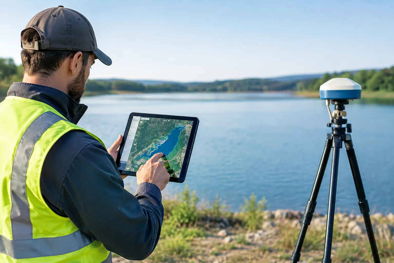
A reliable earthwork monitoring program starts with survey control. Ground control points, check points, coordinate reference systems, vertical datums, and geoid models must be established before flight operations begin. These details may appear administrative, but a vertical datum mismatch can produce a systematic elevation bias across an entire site.
Control should be independently checked rather than accepted solely from the initial installation record. For high-value earthworks, the survey workflow should include calibrated GNSS observations, documented point identifiers, and a control report that records accuracy, datum, and site conditions. Permanent or recoverable control is preferable when repeated monitoring is planned over several months.
The approved reference surface must also be defined. Depending on the project stage, this could be existing ground, post-strip ground, a previous as-built surface, or an issued-for-construction design model. The designation should appear in every quantity report, along with the date, source, and version of the surface. This prevents a common failure mode: comparing a current drone survey with a design revision that was not active during the reporting period.
Define Measurement Boundaries
Volume calculations are only meaningful inside agreed limits. Breaklines, grading limits, exclusion zones, stockpile toes, haul roads, drainage channels, and temporary works can materially affect reported quantities. A well-controlled workflow defines these boundaries before processing, then carries them consistently from one survey epoch to the next.
This is particularly important on linear infrastructure projects, where a small boundary shift along a long corridor can produce a large quantity difference. For large pads, mines, reservoirs, and industrial developments, boundaries should distinguish permanent earthworks from temporary stockpiles and unsuitable-material areas.
Select the Right Sensor for the Site Condition
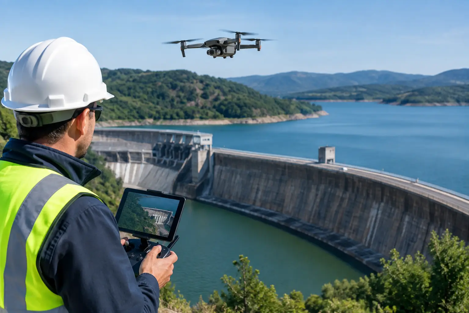
Drone photogrammetry is highly effective for exposed soil, rock cuts, stockpiles, and large graded areas. It produces dense image-based point clouds, orthomosaics, digital surface models, and visual evidence of site conditions. When mission planning, lighting, image overlap, and control are managed properly, photogrammetry provides efficient coverage for routine earthwork measurement.
LiDAR becomes the stronger option where vegetation, complex surface texture, steep faces, low-contrast materials, or variable lighting reduce image matching performance. It can also support sites where terrain visibility beneath sparse vegetation is necessary. LiDAR does not eliminate the need for control, classification, or validation, but it can reduce uncertainty in conditions that challenge optical workflows.
The decision is operational, not ideological. Photogrammetry may offer the best production efficiency on a clear, dry earthwork site. LiDAR may justify its additional cost where vegetation, safety restrictions, or complex geometry would otherwise force extensive ground survey. In some programs, the most reliable approach combines imagery for site context with LiDAR for terrain extraction.
Process Surfaces, Not Just Point Clouds
Raw point clouds are not quantity deliverables. Before calculating volumes, the data must be processed into a controlled surface that represents the intended ground condition. This includes image or trajectory quality checks, georeferencing, point-cloud cleaning, noise removal, classification, breakline integration where required, and generation of a digital terrain model or digital surface model.
Each stage should be traceable. A technical report should state the acquisition date, sensor platform, coordinate system, control method, processing parameters, point density, and independent check-point results. If a surface has been manually edited around structures, water, equipment, or steep slopes, that intervention should be documented as well.
Cross-validation is essential. Check points that are not used to constrain the model provide an independent assessment of positional performance. On critical work fronts, conventional survey observations can be used to test representative areas such as pad corners, formation levels, crest lines, and toe lines. The purpose is not to claim a universal accuracy figure. It is to demonstrate that the delivered surface performs within the project’s defined tolerance in the areas that affect decisions.
Calculate Volumes Using a Consistent Method
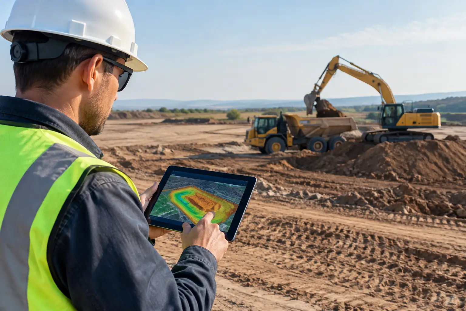
Most construction earthwork quantities are derived by comparing two triangulated surfaces or gridded models within a defined boundary. The output should distinguish cut, fill, and net volume, with clear units and a stated calculation method. A surface-to-surface comparison is generally more representative than sparse spot-level interpolation, especially across irregular terrain.
Stockpiles require special attention. Their bases are often obscured, changing, or assumed from surrounding ground. The report should identify whether the pile base was measured, interpolated, or defined from an agreed reference plane. Without that disclosure, a stockpile quantity can look precise while carrying significant practical uncertainty.
Do not bury uncertainty behind excessive decimal places. Reported precision should reflect survey control, terrain complexity, sensor performance, surface processing, and the completeness of the reference model. A quantity rounded to the nearest cubic yard can be appropriate, but its decision value depends on a transparent methodology rather than the number of digits displayed.
Build a Reporting Cadence That Supports Field Decisions
Monthly reporting may satisfy commercial requirements, but active projects often benefit from weekly or milestone-based monitoring. Frequent measurement identifies whether excavation is tracking the planned sequence, whether fill is approaching formation level, and whether stockpiles are accumulating beyond expected limits. It also enables managers to see production constraints before they become end-of-month disputes.
A decision-grade deliverable normally combines quantitative and visual evidence. The package can include current orthomosaic imagery, elevation models, cut-and-fill maps, volume tables by work zone, annotated exception areas, and a concise QA/QC statement. Progress should be reported against the approved baseline and design revision, not against an informal site interpretation.
Air Solutions structures drone survey programs around this audit trail, delivering interpreted geospatial products rather than isolated sensor outputs. For construction teams, that distinction matters because the final requirement is a quantity record that can be reviewed by engineering, commercial, and project controls functions without rebuilding the analysis from raw data.
Use Volume Intelligence to Control Risk
Measured earthwork volumes support more than payment certification. They can expose imbalance between cut and fill, verify borrow and spoil movements, improve fleet allocation, and reveal where grading has drifted from design intent. When paired with schedule data, volume trends can also provide an early indicator of whether a work front has sufficient production capacity.
There are limits. Drone surveys do not replace geotechnical testing, density verification, or contractual interpretation of material classes. They also cannot measure ground hidden beneath standing water, dense cover, active equipment, or inaccessible voids without appropriate sensor selection and operational controls. The correct response is not to ignore these areas, but to flag them, quantify their impact where possible, and supplement the dataset with targeted conventional survey.
The strongest earthwork reporting programs make uncertainty visible and manageable. Establish the baseline before the first major cut, retain version-controlled surfaces, validate each survey independently, and report quantities on a cadence that matches operational decisions. When the next payment application or production review arrives, the project team should be discussing actions, not debating which surface is correct.