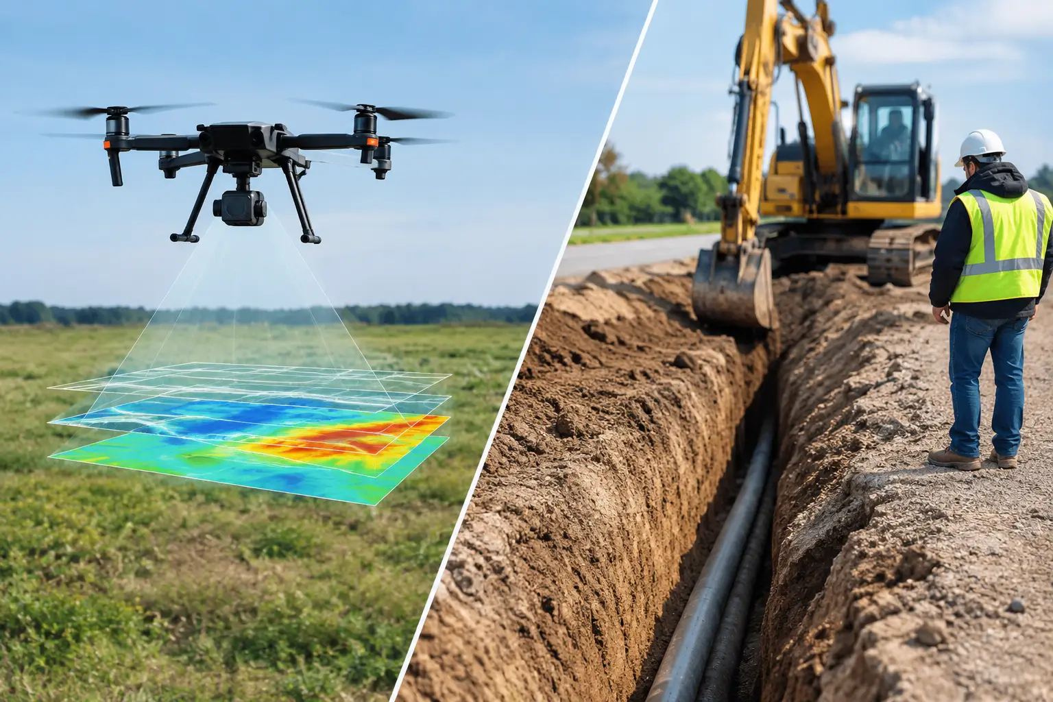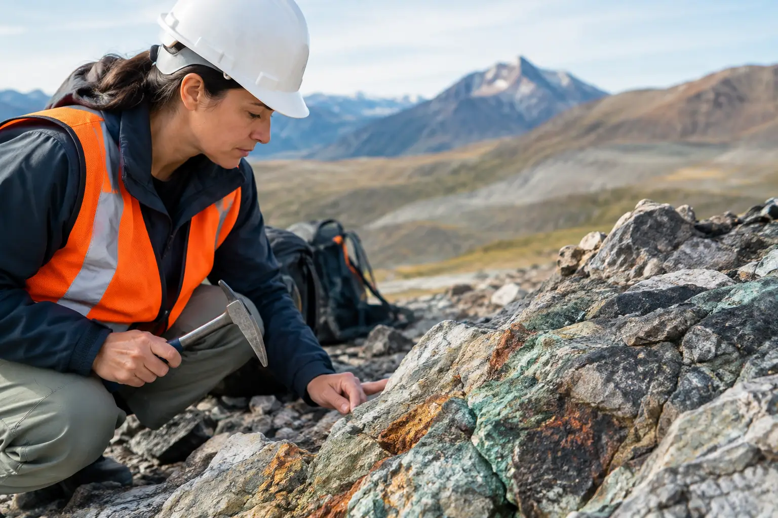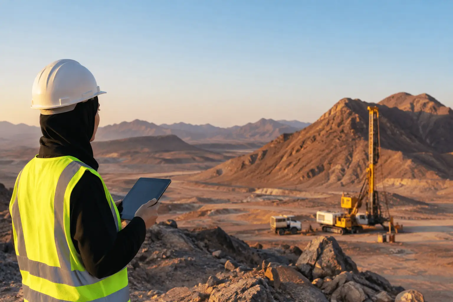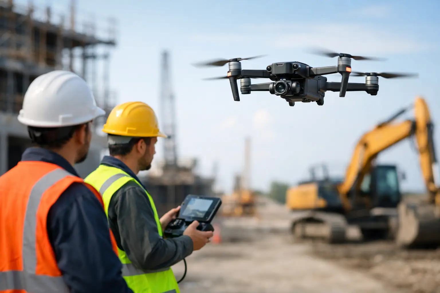
A corroded flare stack, an energized transmission corridor, a settling pond embankment, or a confined process vessel all present the same operational problem: the information needed to make a safe decision is located where personnel should spend as little time as possible. This is how drone inspections improve safety: they move the first layer of observation, measurement, and evidence capture away from exposed workers while giving engineering and operations teams a more complete view of the asset.
For industrial operators, the value is not simply aerial imagery. A drone inspection program is a controlled data-acquisition process that can reduce work at height, limit entry into hazardous or restricted areas, shorten exposure windows, and provide calibrated evidence for maintenance planning. Its safety benefit depends on mission design, sensor selection, flight authorization, QA/QC, and the way findings are converted into action.
How Drone Inspections Improve Safety Through Remote Access
Traditional inspection methods often require scaffolding, rope access, man baskets, shutdowns, vehicle movements, or confined-space entry. Each control may be necessary, but each also introduces exposure. Personnel may work near live assets, unstable surfaces, traffic routes, extreme temperatures, hazardous atmospheres, or difficult terrain.
A properly planned drone mission collects visual, thermal, LiDAR, photogrammetric, or other sensor data from a controlled stand-off distance. The crew remains outside the immediate inspection zone while the aircraft captures coverage at elevations, angles, and locations that would otherwise demand complex access arrangements. This changes the risk profile before any maintenance team is mobilized.
The strongest use case is not always replacing human access entirely. In many critical inspections, drone data is used to identify where hands-on verification is truly required. Instead of sending a team across an entire structure or into every section of an asset, operators can prioritize confirmed anomalies. The result is targeted exposure rather than broad, exploratory exposure.
Reducing work-at-height exposure
Work at height remains a major risk across energy, mining, utilities, and construction. Towers, bridge elements, roofs, pipe racks, stockpiles, tanks, and elevated steelwork can require significant access preparation before inspection begins. A drone can document surface condition, missing components, deformation, corrosion patterns, loose materials, or vegetation encroachment without placing an inspector on the structure for the initial assessment.
This does not eliminate the need for certified access teams when repair or close-contact testing is required. It does, however, reduce unnecessary climbs and improve the quality of the work package for crews who must climb. They arrive with known locations, annotated imagery, dimensional context, and a clearer understanding of what requires intervention.
Keeping crews away from hazardous atmospheres and spaces
Confined spaces and enclosed industrial assets add risks that are not solved by access alone. Atmospheric hazards, poor visibility, restricted movement, internal obstructions, heat, and limited rescue options all raise the stakes. Small inspection drones equipped with protected frames, high-resolution cameras, and appropriate lighting can assess many internal conditions before personnel entry.
The operational distinction matters. A drone is not a substitute for confined-space procedures, gas monitoring, permit controls, or rescue planning. It is an additional layer of risk reduction that can establish whether entry is necessary, identify obstructions, locate damage, and support a more deliberate entry plan when direct intervention cannot be avoided.
Better Data Produces Safer Decisions
Safety improves when teams make decisions from reliable evidence rather than incomplete visual observations. Ground-based inspections can be limited by angle, distance, access, weather, and time pressure. Manned aircraft can cover large areas but may not provide the low-altitude resolution, rapid mobilization, or repeatability needed for localized industrial assets.
Drone platforms close this gap by collecting high-density data at planned altitudes, overlaps, and flight paths. Depending on the application, the deliverable may include georeferenced orthomosaics, 3D models, thermal maps, point clouds, defect registers, elevation products, or interpreted anomaly reports. These outputs allow asset owners to evaluate conditions from multiple viewpoints and return to the same location during later inspections.
For example, photogrammetry can document visible surface changes across a structure or corridor. LiDAR can quantify clearance, geometry, deformation, and terrain conditions even where vegetation complicates visual assessment. Thermal sensing can help identify abnormal heat signatures in electrical or mechanical assets, provided readings are interpreted with operating state, emissivity, viewing angle, and environmental conditions in mind.
A thermal image alone is not a maintenance diagnosis. Likewise, a visual crack indication does not automatically establish structural severity. The safety advantage comes from combining sensor evidence with engineering criteria, asset history, and field verification. This is where cross-validated data and disciplined interpretation become more valuable than a large volume of unstructured imagery.
Faster Inspections Can Shrink the Exposure Window
In many industrial settings, risk increases with time. The longer an inspection crew is near traffic, active equipment, energized systems, unstable slopes, or harsh weather, the greater the cumulative exposure. Drone inspections can reduce this window through rapid mobilization and efficient coverage.
A single flight can inspect extensive facades, transmission sections, pipeline crossings, open-pit slopes, or difficult terrain in a fraction of the time required for manual observation. Faster collection also supports earlier detection. A team that identifies erosion around a water asset, a damaged insulator on a utility line, or a developing slope condition before failure has more options for safe intervention.
Speed should never be confused with haste. Flight planning must account for airspace restrictions, obstacles, electromagnetic interference, wind, dust, battery endurance, communication links, and emergency procedures. In desert environments, heat loading, reduced battery performance, airborne dust, and long mobilization distances require additional operational controls. A fast mission that compromises data quality or aircraft safety provides no real benefit.
Supporting shutdown and maintenance planning
Drone-derived evidence can improve the safety of planned shutdowns by reducing uncertainty before crews enter the work area. Detailed imagery and spatial models help maintenance planners define access needs, estimate repair scope, identify materials, and sequence tasks. This reduces last-minute changes that can create schedule pressure and increase the likelihood of procedural deviation.
For large facilities, repeatable drone surveys also establish a condition baseline. Teams can compare current observations against prior datasets, isolate changes, and demonstrate why a repair priority has shifted. This audit trail is useful for safety reviews, contractor coordination, insurer discussions, and capital planning.
Safety Gains Depend on Mission Governance
The aircraft itself is only one component of a safe inspection program. Poorly managed drone activity can introduce new risks, including collisions, dropped-object hazards, loss of control, interference with operations, privacy issues, or unreliable findings. Enterprise deployments need the same operational discipline expected of any field activity.
A defensible program begins with a site-specific risk assessment. The operator must define the inspection objective, required resolution, flight boundaries, exclusion zones, weather limits, communications protocol, asset operating conditions, and contingency actions. Pilots need verified competency for the platform and environment, while observers and site representatives need clear authority to stop the operation when conditions change.
Data governance is equally relevant. Inspection results should be time-stamped, georeferenced where appropriate, quality-checked, and retained with sufficient metadata to support later review. If measurements will inform engineering or regulatory decisions, calibration records, processing methods, positional accuracy, and known limitations must be documented. A visually compelling model without traceable QA/QC is not decision-grade evidence.
Where Drone Inspection Delivers the Greatest Safety Return
The greatest return occurs where conventional inspection exposes people to significant hazards and where remote sensing can answer a defined operational question. Typical applications include elevated structures, transmission and distribution assets, flare systems, tank roofs, pipelines, bridge components, excavation faces, water infrastructure, solar facilities, and remote right-of-way corridors.
The right sensing modality depends on the failure mechanism under investigation. High-resolution RGB imaging is effective for many visible defects. Thermal data can support electrical and mechanical assessments. LiDAR provides geometric control and terrain intelligence. Multi-sensor missions can be justified when the additional evidence changes the maintenance, safety, or investment decision. They should not be specified simply because the technology is available.
Project owners should evaluate providers on more than aircraft type or camera resolution. The relevant questions are whether the team can operate safely in the actual environment, produce repeatable coverage, document its QA/QC process, and deliver interpreted outputs that align with engineering workflows. For high-value industrial assets, the final report and evidence chain matter as much as the flight itself.
The most effective drone inspection is one that gives field teams a safer starting point: fewer blind entries, fewer unnecessary climbs, a clearer scope of work, and evidence strong enough to act on before a minor condition becomes an urgent exposure.