A magnetic anomaly does not become an exploration target simply because an algorithm assigns it a high score. It becomes decision-grade when the model, sensor calibration, flight parameters, processing chain, geological context, and analyst review are all traceable. That distinction defines the most consequential geospatial AI trends for mining, water, energy, utilities, and major infrastructure programs.
For enterprise buyers, artificial intelligence is moving beyond image classification and map automation. It is becoming part of the production system that converts airborne and ground data into engineering and geoscience evidence. The value is not a faster dashboard. It is a shorter path from field acquisition to a defensible decision, without weakening QA/QC or obscuring uncertainty.
Geospatial AI Trends Moving Into Operational Use
Multi-sensor fusion is replacing single-layer interpretation
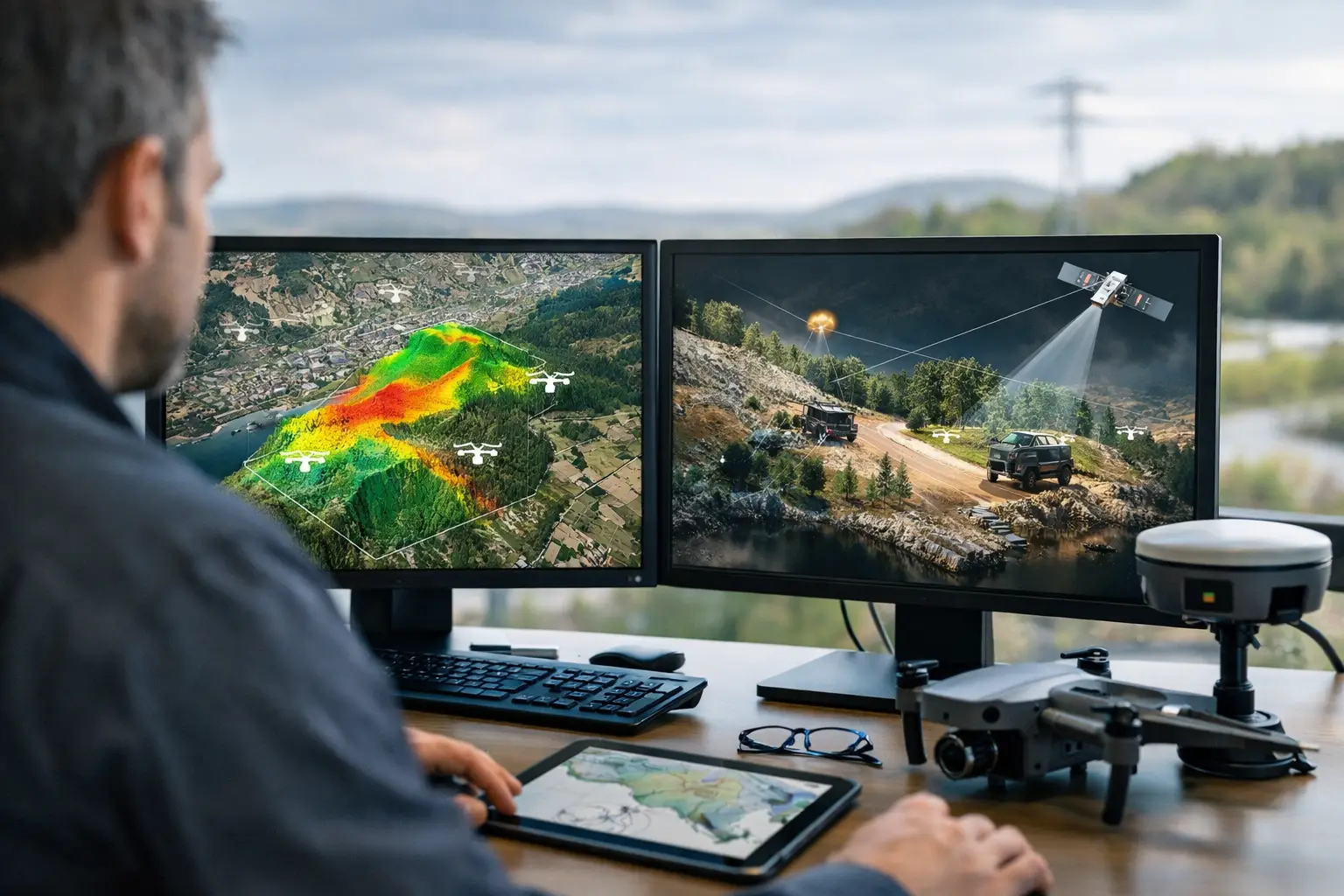
The strongest AI applications no longer treat LiDAR, photogrammetry, magnetics, electromagnetics, radiometrics, hyperspectral imagery, and GIS context as separate workstreams. They combine complementary sensor responses to improve target discrimination.
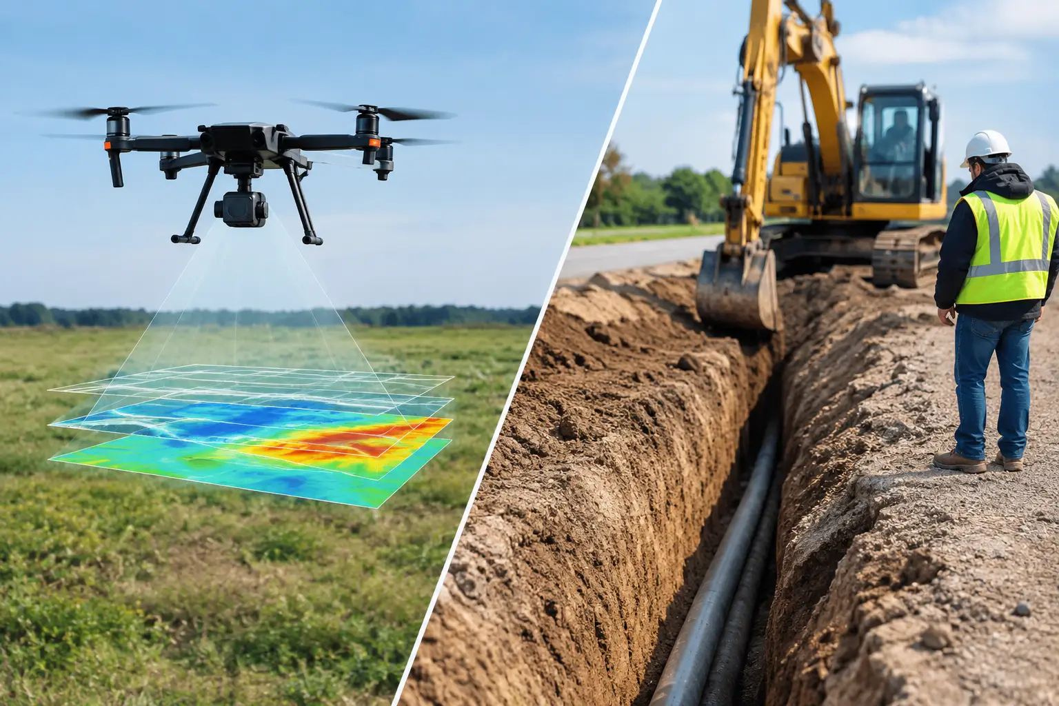
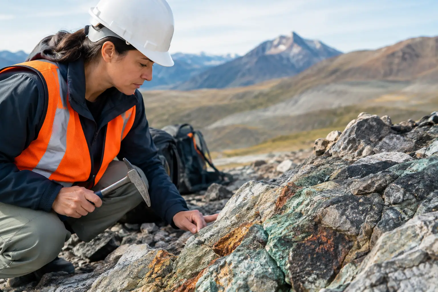
For mineral exploration, this may mean correlating magnetic lineaments with elevation derivatives, alteration signatures, structural mapping, and known lithological controls. For groundwater programs, AI can compare terrain morphology, drainage behavior, fault traces, electromagnetic conductivity responses, and satellite-derived moisture indicators. In utility and corridor surveys, surface features, GPR results, electromagnetic detection, design drawings, and historical records can be reconciled within a common spatial model.
Fusion improves confidence when the data sources are spatially aligned, calibrated, and collected at appropriate resolutions. It does not compensate for poor survey design. If line spacing is too wide, terrain clearance is inconsistent, or coordinate control is weak, an AI model may produce highly polished outputs from incomplete evidence. The operational requirement is therefore disciplined acquisition before interpretation.
Physics-informed models are gaining ground
Purely data-driven models can identify patterns, but industrial geospatial work often has limited labeled examples and high consequences for error. Physics-informed AI addresses that limitation by constraining model behavior with domain knowledge such as sensor response characteristics, terrain effects, geophysical inversion principles, hydrological processes, and structural geology.
This is particularly relevant for airborne magnetic and electromagnetic surveys. Rather than asking a model to predict a target from imagery alone, teams can use AI to accelerate anomaly ranking, identify noise patterns, assist with inversion parameter selection, and compare observed signals against expected geological responses. The result is not automated geology. It is a more efficient interpretation workflow governed by measurable physical constraints.
For infrastructure applications, the same principle applies. An AI model trained to detect pavement distress or utility indicators should operate alongside engineering rules, depth assumptions, asset records, and field verification. Models that ignore those controls can create false positives that consume excavation budgets and project time.
Edge AI is shortening the field-to-decision cycle
Drone survey programs increasingly benefit from processing capability at the edge. Preliminary image quality checks, overlap verification, object detection, terrain-risk assessment, and anomaly flagging can occur during or immediately after a mission rather than after data reaches a central processing environment.
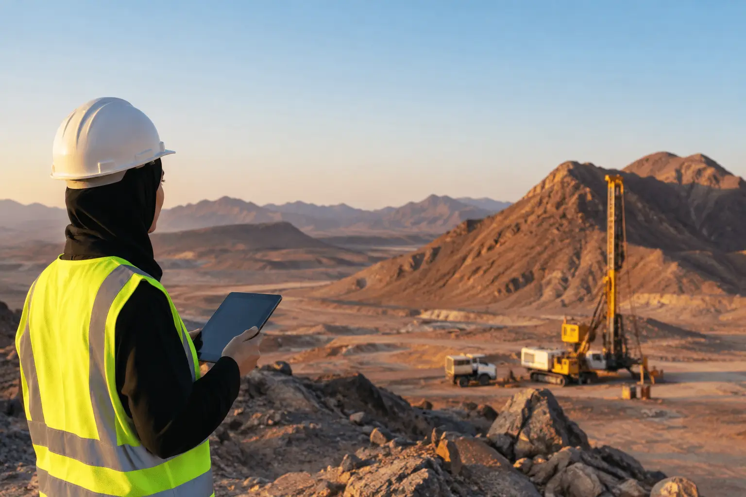
This matters in remote desert operations, where remobilization is costly and weather, access, and airspace windows may be limited. If a field team can identify motion blur, inadequate overlap, sensor drift, incomplete coverage, or an unexpected target zone while still mobilized, corrective action can be taken before demobilization.
Edge processing should be treated as a quality-control accelerator, not a substitute for final processing. High-accuracy orthomosaics, point clouds, geophysical corrections, inversions, and interpreted deliverables still require controlled workflows, version management, and independent review. Speed is valuable only when the final data lineage remains intact.
Foundation models will expand, but specialized training will remain essential
Large geospatial foundation models can accelerate feature extraction across imagery, point clouds, and geospatial records. They may assist with identifying roads, stockpiles, drainage networks, vegetation stress, construction progress, surface change, and land-use patterns with less task-specific training than earlier machine-learning systems required.
However, broad models often perform unevenly in specialized industrial environments. Desert reflectance, dust, sparse vegetation, complex industrial facilities, unusual geology, and nonstandard asset conditions may differ significantly from the datasets used in model development. A model that performs well on general aerial imagery may be unreliable for hyperspectral alteration mapping or confined-space inspection.
The practical approach is to use foundation models as an initial capability layer, then validate and tune them against site-specific data. Procurement teams should ask what training data informed a model, how performance was measured, what classes of error are expected, and whether outputs can be independently audited. Accuracy claims without a defined validation protocol have limited value in regulated or capital-intensive programs.
The Shift From Automated Outputs to Auditable Intelligence
AI adoption is raising the standard for data governance. Clients increasingly need to know not only what a model detected, but also which source data, model version, thresholds, coordinate reference system, operator decisions, and QA checks produced the result.
A defensible workflow records sensor calibration, flight logs, ground control, processing settings, correction methods, confidence thresholds, and analyst interventions. It also distinguishes between measured observations, model-derived classifications, interpreted features, and recommendations for follow-up. These categories should not be blended. A detected magnetic anomaly, an interpreted fault, and a drill target carry different levels of certainty and different commercial implications.
This is where AI supports, rather than weakens, technical discipline. Properly designed systems can retain a complete chain of custody while reducing repetitive interpretation tasks. They can also make uncertainty more visible by generating confidence surfaces, exception flags, and comparison layers for human review.
For government agencies, EPC contractors, and asset owners, auditability has direct value. It improves procurement defensibility, enables repeat surveys, supports regulatory reporting, and makes it easier to compare results across contractors and project phases. It also protects against a common failure mode in AI programs: accepting a visually convincing output without understanding how it was produced.
Change Detection Is Becoming a Core Delivery Requirement
Single-date mapping remains useful, but many high-value programs need to understand what changed, where it changed, and whether the change requires intervention. AI is making multi-temporal analysis faster across construction corridors, mines, utility assets, water systems, and environmental sites.
LiDAR and photogrammetric point clouds can quantify cut-and-fill volumes, slope movement, stockpile changes, encroachment, and construction progress. Thermal and hyperspectral datasets can identify emerging heat anomalies, vegetation stress, moisture changes, or surface conditions that merit inspection. Repeat magnetic or electromagnetic surveys can support monitoring where subsurface conditions or infrastructure integrity are under review.
The trade-off is consistency. Change detection is only as reliable as the comparability of the datasets. Variations in sensor configuration, flight altitude, sun angle, seasonal conditions, control points, or processing methods can be misread as change. Programs should establish a repeatable baseline survey specification, then maintain it across monitoring cycles wherever possible.
Human Review Will Remain Central in High-Consequence Work
AI will reduce manual effort in feature extraction, anomaly triage, classification, and reporting preparation. It will not remove the need for geologists, geophysicists, hydrogeologists, surveyors, and engineers to assess causality, uncertainty, and operational consequence.
A model may identify a linear feature with high confidence. Determining whether it represents a geological structure, buried utility alignment, drainage artifact, processing seam, or access track requires contextual judgment. Similarly, an AI-generated target ranking can prioritize field investigation, but it cannot replace the survey design, ground truthing, and technical interpretation needed before capital is committed.
The most effective operating model is human-in-the-loop delivery. Machines handle scale, repetition, and pattern comparison. Specialists define survey objectives, validate outputs, resolve exceptions, and translate evidence into actions appropriate to the project risk profile. Air Solutions applies this principle across multi-sensor workflows by treating AI-derived outputs as controlled interpretation inputs rather than unverified final answers.
What Buyers Should Require From an AI-Enabled Survey Partner
An AI capability should be assessed as part of the full survey system, not as a standalone software feature. Technical evaluators should require clear evidence of sensor suitability, calibration procedures, positional accuracy, data processing controls, model validation, confidence reporting, and expert review.
They should also define the decision the survey must support. A regional mineral targeting campaign, a groundwater prospectivity study, a utility corridor investigation, and a construction-progress program need different sensors, model architectures, accuracy thresholds, and deliverables. The right AI approach depends on the consequence of a missed target, a false alarm, or a delayed decision.
The market will continue to produce more capable models. The differentiator will be the contractor that can deploy them within a calibrated, cross-validated, and fully auditable field-to-report workflow. For project owners, that is the standard worth specifying before the aircraft launches.