A promising anomaly is not a drilling target until the data can withstand technical review. The best drone sensors mining teams deploy are therefore not selected by payload specifications alone. They are selected against a defined exploration question, expected geology, survey scale, terrain constraints, and the level of confidence required for the next capital decision.
For mineral exploration and mine planning, drone sensing can compress field acquisition timelines while reducing exposure in steep, remote, or active operating areas. Its value is highest when each sensor is calibrated, its positioning is controlled, and its outputs are processed into interpreted geoscience products rather than delivered as unfiltered imagery or point clouds.
Best Drone Sensors for Mining: Start With the Decision
There is no single best sensor for every mining assignment. A magnetic system may be the highest-value option for mapping structural controls beneath shallow cover. LiDAR may be the correct choice for calculating volumes, characterizing benches, or modeling terrain below sparse vegetation. Hyperspectral data can assist mineral discrimination where surface expression is present, while electromagnetic methods can identify conductive responses associated with alteration, groundwater, or sulfide-bearing systems.
The practical question is not which payload has the broadest specification sheet. It is whether the sensing modality can produce a measurable contrast between the target and its geological background. That decision should be made before mobilization through a survey design review covering geology, expected target depth, line spacing, flight altitude, sensor noise, terrain clearance, and control requirements.
A disciplined program also distinguishes between reconnaissance and decision-grade acquisition. Early-stage surveys may prioritize coverage and anomaly generation. Resource definition, engineering design, and due diligence require tighter control, documented QA/QC, repeatable processing, and transparent limits on interpretation.
Aeromagnetic Sensors for Structure and Targeting
Drone magnetometers are among the most effective mining payloads where lithological boundaries, faults, dikes, intrusive bodies, and magnetic mineralization create detectable contrasts. High-resolution aeromagnetic surveys can map structural architecture at a scale that conventional regional datasets often cannot resolve.
For exploration teams, the central advantage is low-altitude acquisition. Flying close to terrain at controlled clearance increases anomaly resolution, provided the platform, sensor suspension, and flight plan are engineered to minimize aircraft interference. The system must be compensated and tested for heading effects, vibration, and platform-generated magnetic noise. Without this discipline, apparent anomalies can be operational artifacts rather than geology.
Magnetics is especially valuable when integrated with mapping, geochemistry, drilling, and electromagnetic data. It does not directly identify every commodity, and nonmagnetic targets may produce little response. Its strength is structural context: locating concealed contacts, lineaments, alteration corridors, and magnetic domains that improve targeting efficiency.
When magnetic data is the wrong primary tool
Magnetic surveying is not a universal substitute for other geophysics. In areas dominated by magnetically quiet lithologies, deep targets, or intense cultural interference, its standalone interpretive value may be limited. A pre-survey review should assess existing regional magnetics, local infrastructure, expected susceptibility contrasts, and whether a complementary method will materially reduce uncertainty.
Electromagnetic Sensors for Conductivity Mapping
Drone electromagnetic, or EM, systems measure variations in subsurface electrical conductivity. For mining programs, EM can support the identification of conductive sulfide zones, graphitic horizons, clay-rich alteration, paleochannels, and groundwater-bearing structures. It is also useful for distinguishing geological units that appear similar in optical imagery but behave differently electrically.
The key trade-off is depth versus resolution. Lower-frequency systems can investigate deeper but may provide less definition near surface. Higher-frequency systems offer finer shallow detail but attenuate more rapidly with depth. Conductive overburden, saline groundwater, and complex geology can further complicate the response.
For this reason, EM results should be delivered with inversion parameters, noise characterization, flight altitude records, and an interpretation that separates measured response from geological hypothesis. A colored conductivity map without these controls is not sufficient for investment or drilling decisions.
LiDAR for Terrain, Volumes, and Mine Design
LiDAR is the preferred airborne method where mine operators need high-density, accurate three-dimensional terrain information. It supports topographic base mapping, stockpile and cut-fill calculations, haul-road assessment, highwall characterization, drainage analysis, and surface-change monitoring.
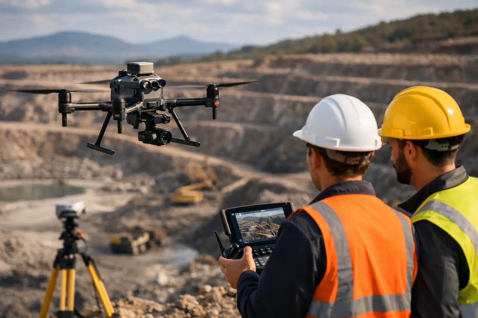
Unlike image-based mapping, LiDAR actively measures distance. This makes it highly effective in low-texture terrain and capable of returning terrain points through sparse vegetation. Accuracy, however, depends on rigorous GNSS and inertial navigation integration, boresight calibration, ground control strategy, and strip alignment. A dense point cloud is not automatically an accurate surface model.
In active mines, repeat LiDAR surveys can provide a controlled record of excavation progress and material movement. The deliverable should state datum, coordinate reference system, vertical accuracy, point classification methodology, and volume calculation assumptions. These details make the result auditable across engineering, operations, and commercial teams.
Photogrammetry for Fast Visual Intelligence
Drone photogrammetry remains a highly efficient method for orthomosaics, digital surface models, pit mapping, visual inspections, and frequent progress capture. With sufficient image overlap, stable lighting, properly placed control, and calibrated processing, it can generate detailed site models quickly over broad areas.
Its limitation is that it derives geometry from image matching. Feature-poor surfaces, deep shadows, reflective materials, dust, moving equipment, and dense vegetation can degrade results. Photogrammetry also represents the visible surface rather than penetrating canopy or identifying subsurface conditions.
For many mine sites, photogrammetry is best treated as an operational layer that complements LiDAR and geophysics. It provides current visual context for structural traces, access planning, surface hazards, and the communication of technical findings to non-specialist stakeholders.
Hyperspectral and Radiometric Sensors for Surface Geology
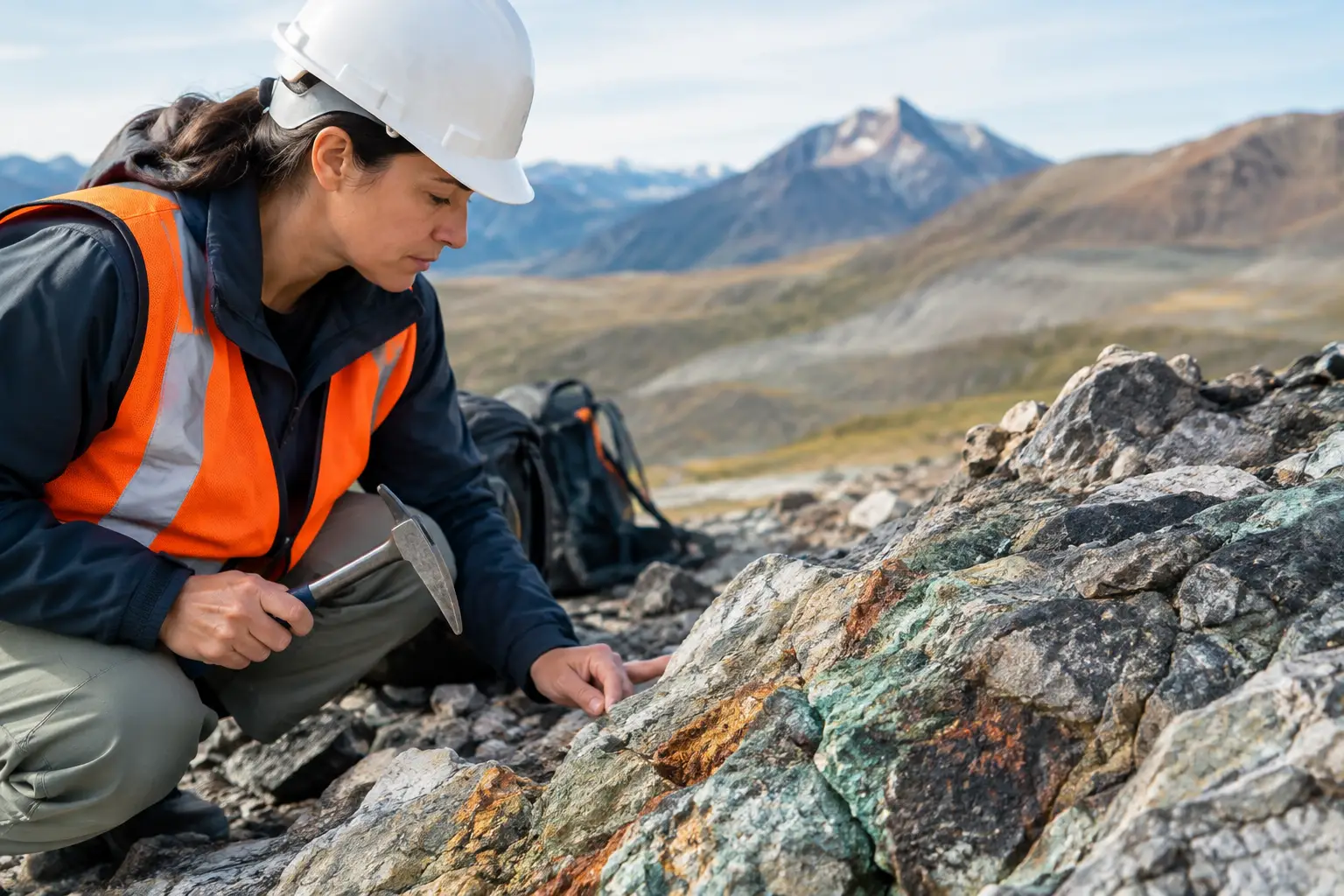
Hyperspectral imaging measures reflected energy across many narrow spectral bands. In the right geological setting, it can assist with mapping alteration minerals, iron oxides, clays, carbonates, and other surface mineralogical indicators. Its value is strongest where the target or its alteration halo is exposed, atmospheric conditions are manageable, and spectral libraries are matched to local mineral assemblages.
Hyperspectral data does not directly prove ore grade or continuity. Weathering, coatings, mixed pixels, shadow, and surface disturbance can all alter spectral response. Ground truthing through field spectroscopy, mapping, sampling, and laboratory analysis remains essential.
Radiometric sensors measure naturally occurring gamma radiation associated with potassium, uranium, and thorium. They can support regolith mapping, lithological discrimination, alteration studies, and radiological baseline work. Survey altitude and speed must be tightly controlled because gamma signals attenuate rapidly with distance. Radiometric acquisition is therefore a specialized method, not an add-on payload for every flight.
Why Multi-Sensor Fusion Produces Stronger Mining Decisions
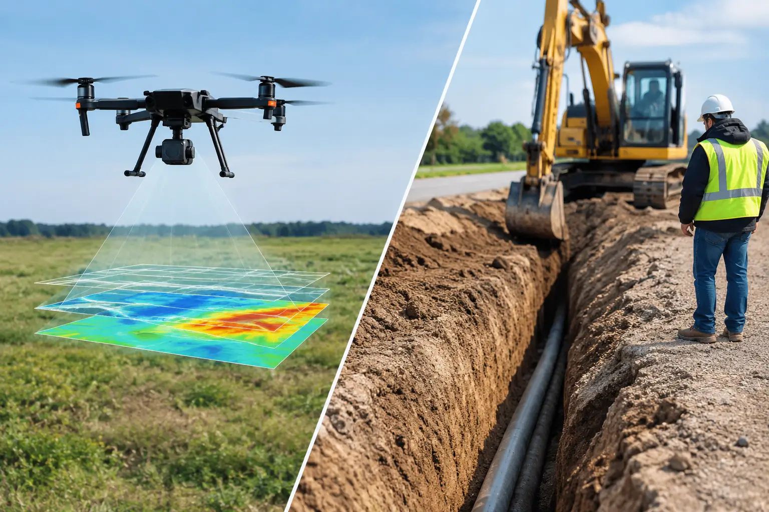
Individual datasets answer different parts of the geological problem. Magnetics can reveal a buried fault system. EM can identify conductive zones along that structure. LiDAR can model the terrain and access constraints. Hyperspectral data can identify exposed alteration at surface. Combined, these layers provide a more defensible target model than any sensor can produce alone.
Data fusion must be more than stacking maps in a GIS project. Each dataset needs a common coordinate framework, documented positional accuracy, compatible resolution, and processing steps that preserve the original measurement integrity. Interpretation should identify areas of agreement, conflict, and uncertainty. A conductive anomaly that lacks structural support may require a different ranking than one coincident with a mapped fault, magnetic contrast, and alteration signature.
For enterprise buyers, this integrated approach reduces the risk of funding follow-up work based on a single ambiguous indicator. It also creates a traceable chain from survey specification through calibration, processing, interpretation, and target recommendation.
Procurement Criteria Beyond the Payload
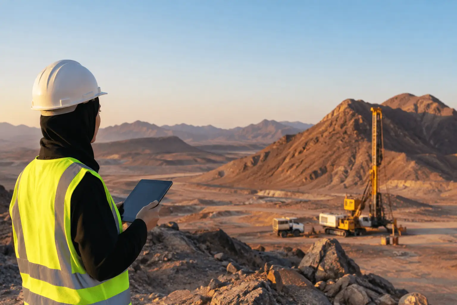
Sensor selection should be evaluated alongside execution capability. Mining environments impose heat, dust, wind, elevation changes, restricted airspace, active equipment, and demanding safety controls. A technically capable payload is of limited value if the operator cannot maintain consistent terrain clearance, validate navigation performance, or recover complete datasets in field conditions.
Technical procurement teams should require a clear statement of survey objectives, line design, sensor calibration procedures, positioning method, QA/QC checks, processing workflow, deliverables, and interpretation scope. They should also confirm whether the provider supplies raw data, processed data, or decision-ready geoscience outputs. These are materially different service levels.
Air Solutions approaches mining surveys as integrated airborne data acquisition and interpreted intelligence programs. The objective is not simply to fly a sensor, but to deliver calibrated, cross-validated, and fully auditable evidence that supports exploration, engineering, and operational decisions.
The strongest sensor program is the one that removes the most uncertainty from the next decision. Define that decision first, then specify the sensing mix, control standards, and interpretation workflow required to defend it.