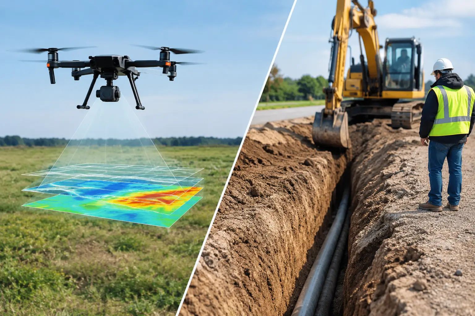
A mineral target can be missed by a sparse ground grid. A utility corridor can be delayed by terrain data that does not reconcile with design coordinates. A water investigation can consume weeks of field effort before the first defensible subsurface model is available. Aerial survey services address these constraints by collecting calibrated geospatial measurements over large, inaccessible, or operationally sensitive areas, then converting those measurements into interpreted intelligence for engineering and investment decisions.
For industrial clients, the aircraft is not the deliverable. The deliverable is a traceable dataset and technical interpretation that can withstand review by geologists, engineers, regulators, and project controls teams. That distinction determines whether an aerial program produces useful evidence or simply a large volume of imagery.
What aerial survey services should deliver
Aerial surveying is often described as rapid data capture from an aircraft or drone. Speed matters, particularly where access windows are short or field conditions are severe, but it is only one part of project value. A decision-grade program integrates mission planning, sensor calibration, positional control, quality assurance, processing, cross-validation, and reporting against the actual project question.
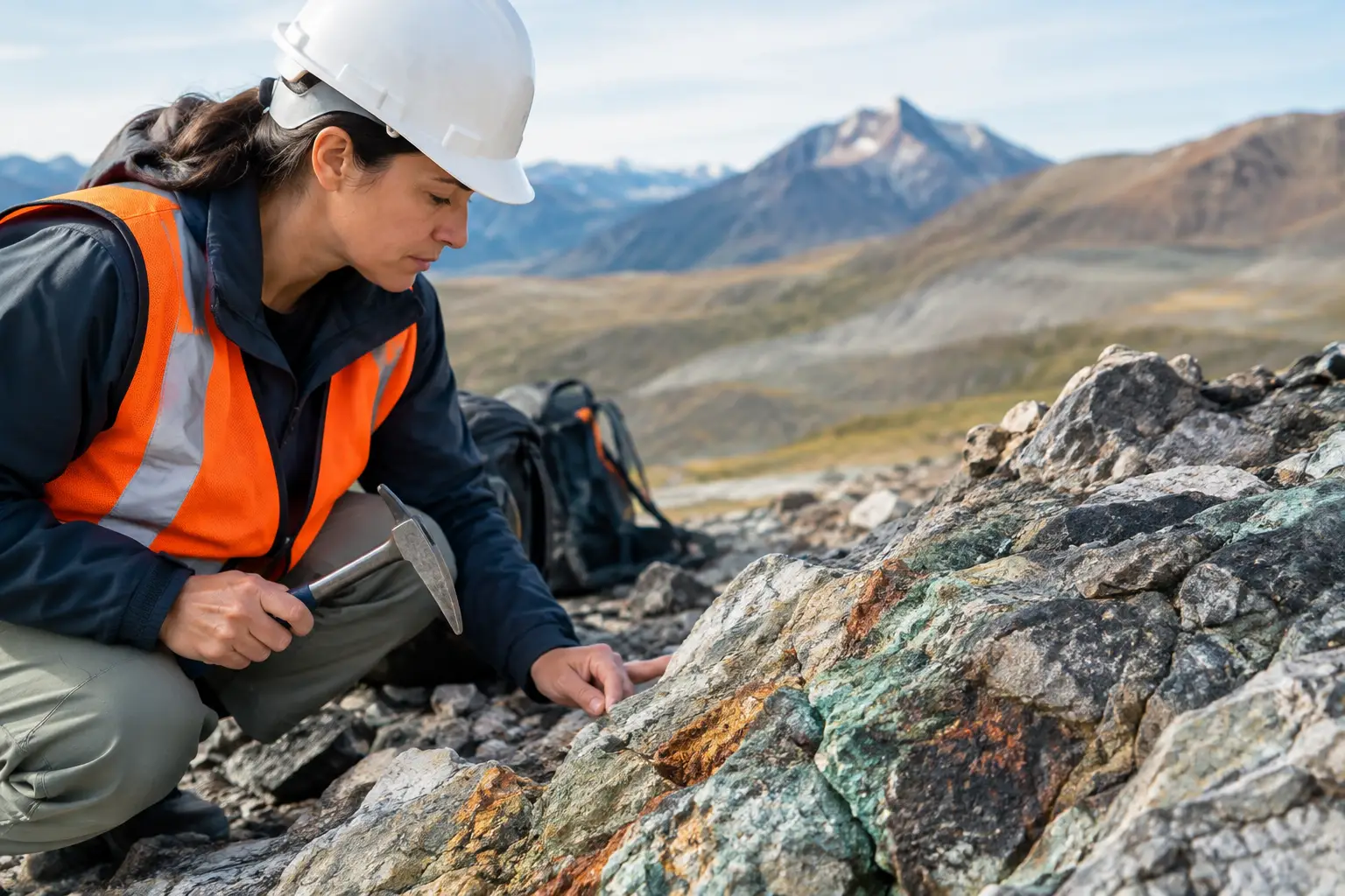
For a mining team, that question may concern structural controls, lithological boundaries, alteration signatures, or the location of conductive targets. For a water authority, it may be the geometry of a paleochannel, fracture network, or potential groundwater-bearing formation. For an EPC contractor, the requirement may be an accurate terrain surface, route constraint map, volumetric calculation, or verification of utility and asset conditions.
The sensing modality must follow the decision requirement. High-resolution orthomosaics are valuable for surface context, but they do not replace LiDAR where vegetation penetration, precise elevation modeling, or corridor design is required. Aeromagnetic data can reveal structural patterns and magnetic contrasts below surface, but it should not be treated as a standalone confirmation of mineralization. Electromagnetic, radiometric, hyperspectral, and ground-based data may be needed to refine the interpretation.
The strongest aerial survey services therefore operate as a coordinated measurement system rather than a single-sensor flight operation.
Selecting the right airborne sensing method
LiDAR and photogrammetry for terrain and assets
LiDAR measures ranges directly and can generate dense point clouds, classified ground models, contour products, and engineered surfaces. It is particularly effective for topographic mapping, earthworks, corridor studies, flood modeling inputs, stockpile measurement, and assets where centimeter-level positional confidence is necessary.
Photogrammetry derives three-dimensional information from overlapping imagery. When flown with suitable ground control, camera calibration, and processing discipline, it produces detailed orthomosaics and surface models efficiently. Its strength is visual detail and broad-area coverage. Its limitations become more significant under uniform texture, deep shadows, heavy vegetation, reflective surfaces, or where ground visibility is obstructed.
The choice between the two is not simply a budget decision. A construction program may use photogrammetry for frequent progress records and LiDAR for control-critical earthwork verification. In many cases, the highest-value approach combines both datasets.
Magnetic, electromagnetic, and radiometric surveys for subsurface context
Aeromagnetic surveys measure spatial variation in the Earth's magnetic field. After compensation, diurnal correction, leveling, and processing, these measurements can support interpretation of faults, dikes, basement structures, lithological contrasts, and magnetic source geometry. Survey design is critical: line spacing, terrain clearance, flight direction, and platform noise characteristics directly affect the resolution and reliability of the final product.
Electromagnetic surveys respond to conductivity contrasts. They can assist with identifying conductive zones associated with groundwater, saline interfaces, clay-rich units, sulfides, buried channels, and infrastructure. Results require geological context. Conductivity is not a unique identifier, and a credible interpretation should state competing explanations, depth uncertainty, and the field work needed for confirmation.
Radiometric mapping measures naturally occurring gamma radiation associated with potassium, uranium, and thorium. It can contribute to regolith mapping, lithological discrimination, alteration studies, and environmental baseline work. Data must be corrected for altitude, background response, and survey conditions before it is suitable for interpretation.
Hyperspectral imaging for surface mineral and material discrimination
Hyperspectral sensors record many narrow spectral bands, enabling discrimination of surface materials that appear similar in standard imagery. In mineral exploration, this can support mapping of alteration minerals, exposed lithology, and weathering patterns. In infrastructure and environmental work, it can assist with material classification, vegetation condition, and surface change assessment.
Hyperspectral outputs are sensitive to atmospheric conditions, illumination, surface moisture, and spectral library assumptions. They are most valuable when integrated with field spectroscopy, geological mapping, and other geophysical evidence rather than presented as conclusive on their own.
The operational controls behind defensible data
Aerial data is only as reliable as the controls applied before, during, and after acquisition. In high-consequence assignments, these controls should be documented, not implied.
Mission design begins with the area of interest, expected target scale, topography, access constraints, airspace requirements, and required confidence level. A regional reconnaissance program may justify wider line spacing and lower point density. A drill-targeting, route-design, or asset-verification program requires tighter specifications. Collecting insufficient resolution is costly because the survey may need to be repeated; collecting excessive resolution can add cost without changing the decision.
Positioning and timing are equally material. GNSS observations, base-station or network corrections, inertial measurement data, boresight calibration, and synchronized sensor timestamps affect spatial accuracy across the entire survey. For magnetics and electromagnetics, platform interference and sensor behavior must also be characterized. The processing workflow should preserve raw observations, calibration records, correction steps, and version-controlled outputs.
Quality assurance should include in-flight checks as well as post-flight review. Coverage gaps, excessive terrain clearance, navigation deviations, poor image overlap, sensor dropouts, and anomalous noise should be identified before demobilization where possible. Tie lines, check points, overlap analysis, statistical residuals, and independent field observations provide evidence that the final dataset is internally consistent.
A fully auditable package normally includes acquisition parameters, coordinate reference systems, accuracy statements, processing methodology, QA/QC results, limitations, and final data formats. This gives technical teams a clear basis for using the results in GIS, mine planning, hydrological modeling, detailed design, or regulatory submissions.
Aerial survey services for harsh and complex sites
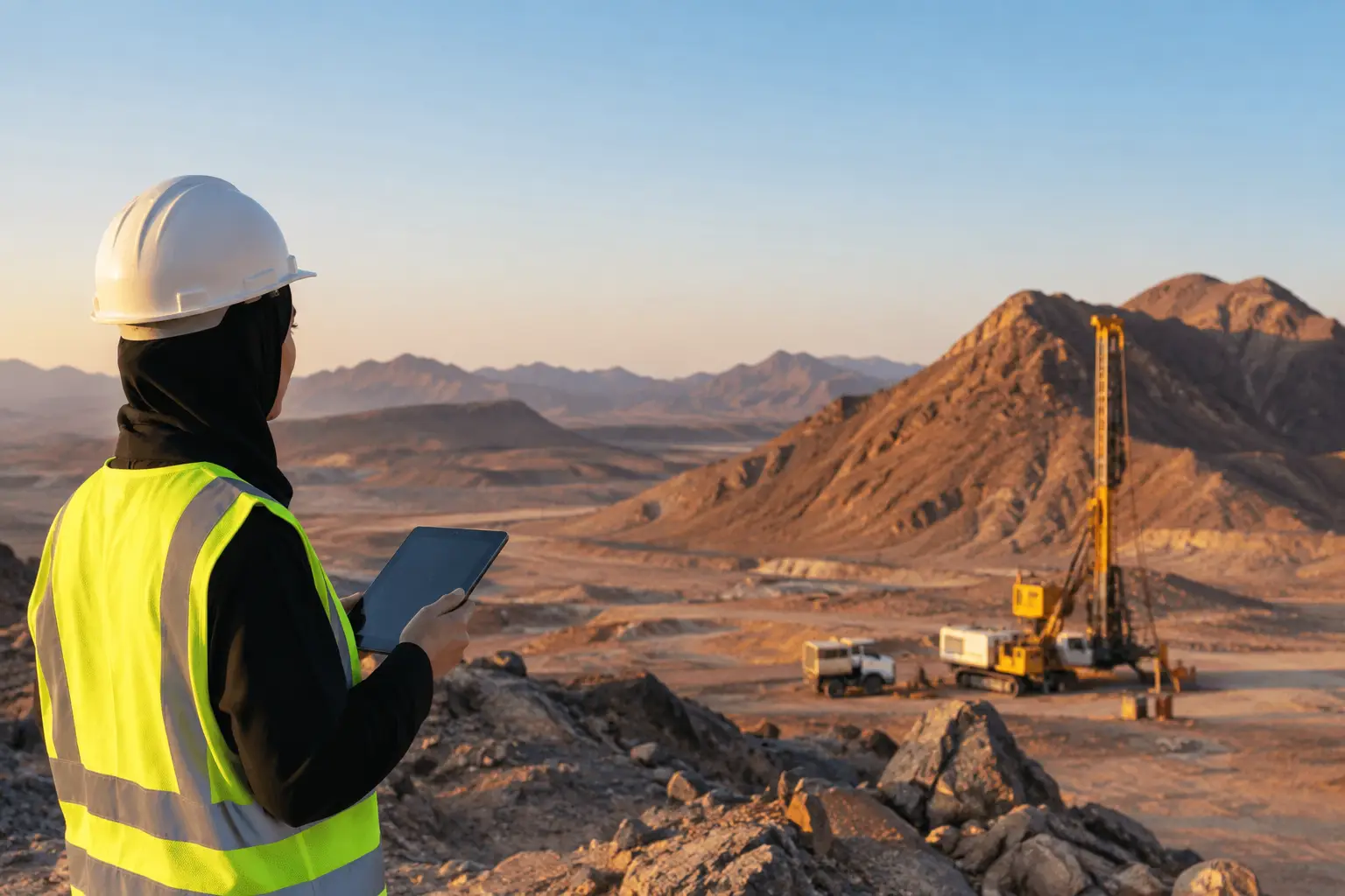
Desert, remote, and active industrial environments place particular demands on survey execution. Heat affects batteries, electronics, and field endurance. Dust and glare can affect optical sensors. Rugged terrain changes line-of-sight, terrain clearance, and communication reliability. Active sites introduce safety exclusions, controlled access, and interfaces with heavy equipment or critical operations.
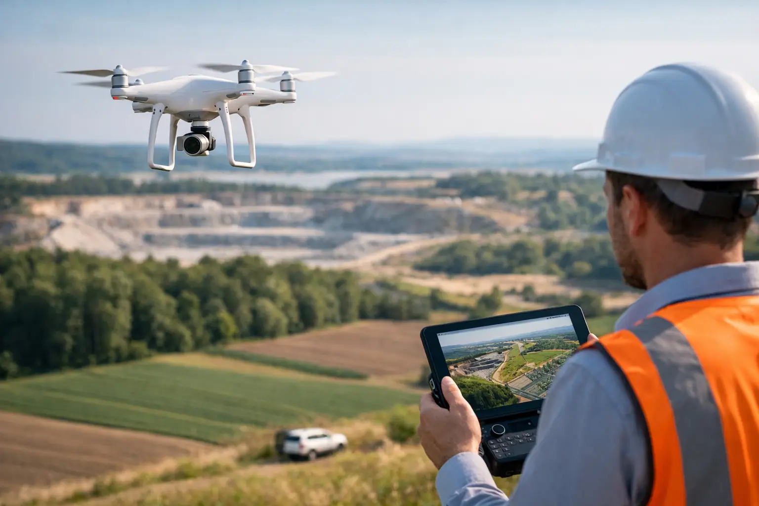
Drone-based operations can reduce exposure by limiting the need for personnel to traverse unstable slopes, disturbed ground, restricted facilities, or long corridor alignments. They can also mobilize faster than manned-aircraft programs for focused survey areas. However, drones are not automatically the correct platform for every assignment. Large regional coverage, payload requirements, airspace restrictions, weather limits, and endurance may favor a hybrid approach or alternative acquisition method.
The appropriate question is not whether a drone can fly the survey. It is whether the platform, sensor, flight specification, and QA/QC plan can produce the required result within the project schedule and risk envelope.
Turning measurements into project decisions
Raw point clouds, magnetic grids, and imagery rarely answer an executive or technical approval question without interpretation. A useful final report connects the evidence to action. It identifies notable anomalies or constraints, ranks confidence, explains uncertainty, and recommends the next verification step.
For example, a magnetic and electromagnetic program may define zones that merit follow-up mapping, trenching, sampling, or drilling. A LiDAR corridor survey may identify drainage crossings, cut-and-fill quantities, slope risks, and design conflicts before construction begins. A groundwater investigation may combine electromagnetic responses, terrain analysis, lineament mapping, and existing borehole information to prioritize targets for geophysical confirmation and drilling.
This is where multi-sensor fusion has practical value. Independent measurements can either reinforce an interpretation or reveal where a seemingly compelling anomaly is ambiguous. A conductive response aligned with a structural corridor, topographic expression, and relevant geological setting carries a different level of confidence than an isolated response with no supporting evidence.
Air Solutions applies this discipline by delivering processed and interpreted geospatial intelligence, supported by documented acquisition and QA/QC procedures, rather than transferring raw sensor outputs to the client team.
Specifying a survey that will stand up to review
Procurement teams should define the decision use case before requesting a price. The request should state the area, target scale, required deliverables, coordinate system, expected accuracy, operating constraints, schedule, and interfaces with existing datasets. It should also require clarity on what will be measured, how accuracy will be validated, and what interpretation is included.
The lowest acquisition price can become the highest project cost if data lacks adequate coverage, control, documentation, or technical context. Conversely, a tightly specified program can reduce downstream drilling, rework, field exposure, and design uncertainty. The objective is not more data. It is evidence that allows the next decision to be made with appropriate confidence.
For projects where field access is difficult, schedules are compressed, or decisions depend on terrain and subsurface understanding, aerial intelligence should be treated as an engineering input from the start. The most effective programs establish a defensible line between what the data indicates, what remains uncertain, and what should happen next.