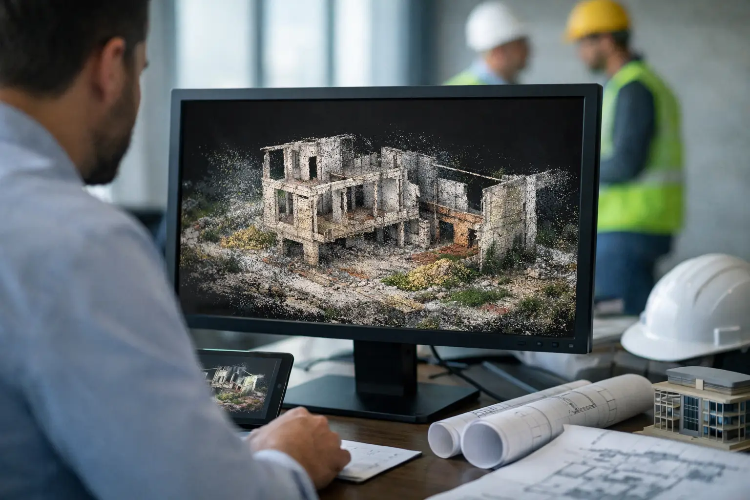
A point cloud is not simply a 3D image of a site. It is a measured coordinate dataset that can expose grade breaks, structural movement, stockpile volumes, clearance conflicts, surface drainage, and asset condition before those issues become construction delays or operational risk. For project owners working across mines, utilities, corridors, plants, and major infrastructure packages, its value lies in converting field capture into traceable engineering intelligence.
Each point represents a precisely located position in three-dimensional space, typically recorded as X, Y, and Z coordinates. A single survey may generate millions or billions of points. When the dataset is calibrated, georeferenced, and quality-controlled, those points form a spatial record that can support design, planning, inspection, measurement, and change detection.
What Is a Point Cloud?
A point cloud is the primary output of several reality-capture methods, most commonly LiDAR and photogrammetry. LiDAR sensors emit laser pulses and calculate distance from the return signal, producing dense measurements of terrain, structures, vegetation, and equipment. Photogrammetry reconstructs three-dimensional geometry from overlapping imagery, using matched features across multiple photographs.
The two methods can generate similar-looking models, but their operating characteristics differ. LiDAR generally performs better where bare-earth terrain must be identified beneath partial vegetation, where low-texture surfaces challenge image matching, or where controlled elevation accuracy is the priority. Photogrammetry can provide highly detailed colorized surfaces and is often effective for visual documentation, facade mapping, and volumetric work in suitable light and surface conditions.
A point cloud may also be derived from terrestrial scanners, mobile mapping systems, or confined-space inspection platforms. The capture method should follow the decision requirement, not the availability of a sensor. A corridor survey requiring utility clearance verification has different tolerances, density requirements, and QA/QC controls than a mine stockpile campaign or a flood-modeling assignment.
From Coordinates to Decision-Grade Survey Data
Raw coordinates have limited value until they are processed within a controlled workflow. The difference between an attractive 3D visualization and a defensible technical deliverable is usually established before the first flight and verified after processing.
A disciplined point cloud workflow begins with survey control. Ground control points, checkpoints, base-station observations, or network corrections establish the relationship between captured data and the required coordinate reference system. Control must be appropriate for the requested accuracy, site size, operational environment, and contractual specification. If the coordinate framework is wrong, a dense dataset only makes the error more convincing.
The data then requires trajectory processing, sensor calibration, alignment, noise filtering, and classification. In LiDAR work, classification separates likely ground returns from vegetation, buildings, vehicles, powerlines, and other features. In photogrammetry, image alignment, camera calibration, dense reconstruction, and surface generation must be checked for distortion, gaps, and weak geometry.
Quality control should not be limited to a single overall accuracy number. A technically sound report distinguishes between control and independent checkpoints, documents the reference system and vertical datum, records acquisition conditions, and identifies exclusions or areas of reduced confidence. For repeat surveys, consistency matters as much as nominal accuracy. A change-detection program cannot reliably identify small movements if each campaign uses a different control strategy, flight geometry, or processing standard.
What a Point Cloud Can Measure
The practical strength of a point cloud is that the same calibrated dataset can serve multiple technical teams. Rather than commissioning separate field visits for topography, volume measurement, asset inventory, and design verification, a project can establish a common spatial baseline.
For civil and infrastructure programs, the dataset can support terrain modeling, cut-and-fill calculations, route and corridor planning, drainage assessment, retaining-structure review, and as-built verification. Engineers can extract cross-sections at defined intervals, inspect tie-ins, test clearance envelopes, and compare completed works against design surfaces.
For mining and quarry operations, point clouds are commonly used to calculate stockpile volumes, map benches and haul roads, assess highwall geometry, monitor waste dumps, and establish terrain inputs for operational planning. The key requirement is repeatability. Volume figures used for production reconciliation or contractor payment need documented boundaries, consistent ground assumptions, and a clear record of the calculation method.
For industrial assets, a point cloud can capture pipe racks, tanks, structural steel, conveyors, roofs, and access areas without placing personnel in unnecessary proximity to hazards. It can reveal spatial conflicts before modifications are fabricated, identify deformation in comparison with prior scans, and provide a reliable spatial reference for maintenance planning. In confined environments, the capture design must account for occlusion, limited access, reflective surfaces, and safe platform positioning.
Utilities and energy projects use point clouds to evaluate transmission corridors, identify encroachments, model poles and structures, and assess vegetation proximity. Here, point density alone is not enough. The survey must preserve the features relevant to clearance decisions, and classification must be checked carefully around wires, poles, and complex vegetation.
Point Cloud Deliverables Must Match the Decision
A common failure in reality-capture procurement is requesting a point cloud without defining the downstream use. The result may be a large file that is difficult to open, difficult to validate, and poorly suited to the design or operations team that receives it.
The required deliverable may be a classified LAS or LAZ dataset, but it may also include a digital terrain model, digital surface model, contour set, orthomosaic, triangulated mesh, CAD-ready breaklines, cross-sections, volume report, or GIS layers. For executive and project-control use, the strongest output is often an interpreted report that states what changed, where it changed, the confidence level, and what action the finding supports.
File size and usability are real constraints. A billion-point dataset can overwhelm standard engineering workstations. Tiled delivery, level-of-detail products, decimated visualization files, and extracted feature layers allow users to work efficiently without losing access to the source measurement record. The objective is not to deliver the maximum possible number of points. It is to deliver the right density, accuracy, classification, and interpretation for a defined use case.
Accuracy Depends on the Entire Survey System
Point cloud accuracy is sometimes discussed as though it were a fixed sensor specification. It is not. Final accuracy depends on the sensor, flight altitude, scan angle, image overlap, GNSS conditions, inertial measurement performance, control network, terrain cover, platform stability, processing method, and validation procedure.
Desert and industrial environments add further variables. Dust, haze, extreme heat, low-feature terrain, highly reflective surfaces, active equipment, and access restrictions can all affect acquisition quality. A capable survey contractor plans for these conditions through sensor selection, mission timing, redundancy, field checks, and documented acceptance criteria.
There is also a trade-off between area coverage and detail. Higher flight altitudes can cover large areas faster but reduce ground sampling density. Low-altitude acquisition improves detail but increases flight time, battery cycles, and operational complexity. The correct balance depends on whether the project needs regional terrain context, engineering-grade site detail, or both through a staged acquisition plan.
Integrating Point Clouds With Other Geospatial Evidence
A point cloud describes geometry exceptionally well, but geometry alone does not explain every site condition. The most valuable programs combine it with complementary datasets where the decision requires more than surface shape.
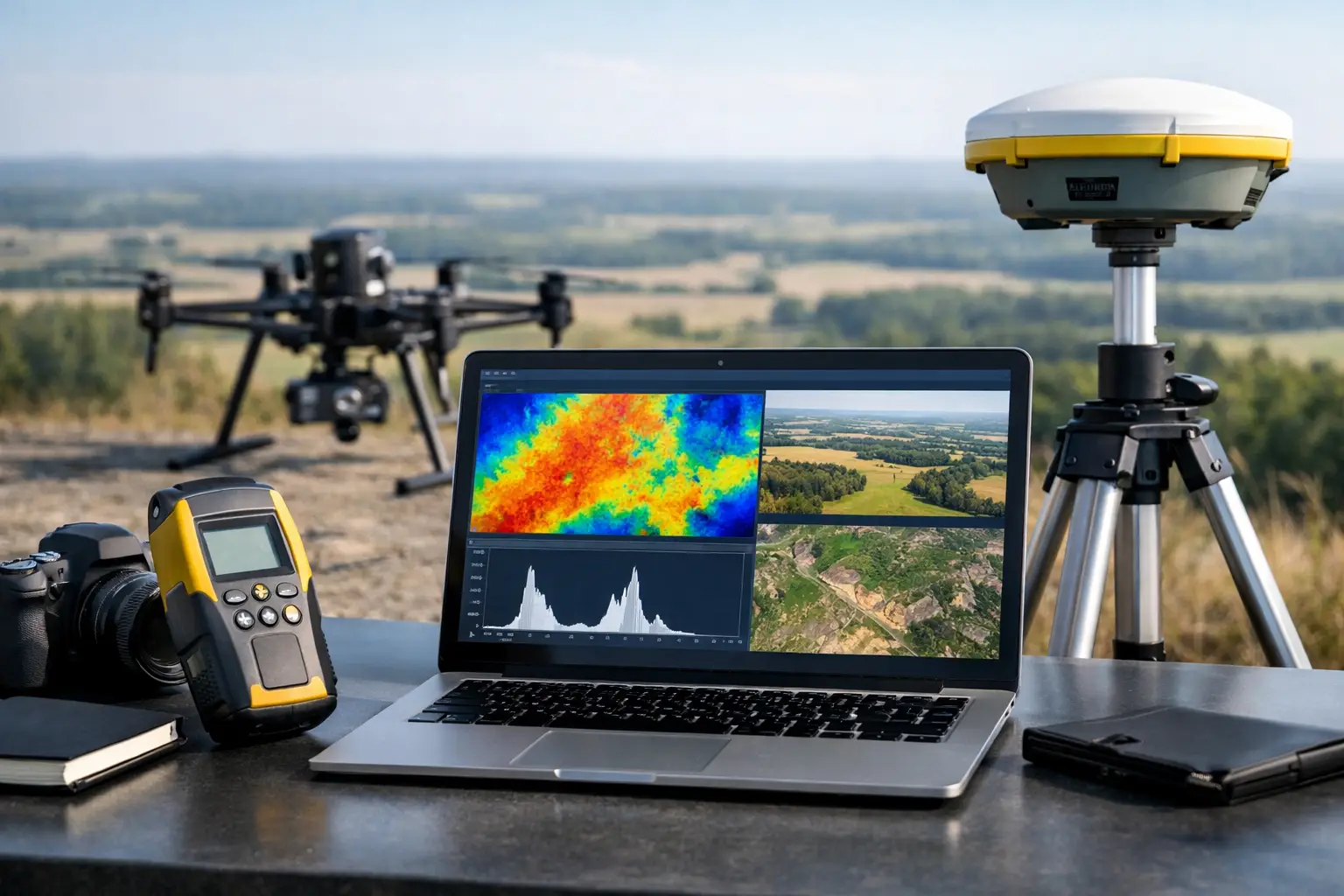
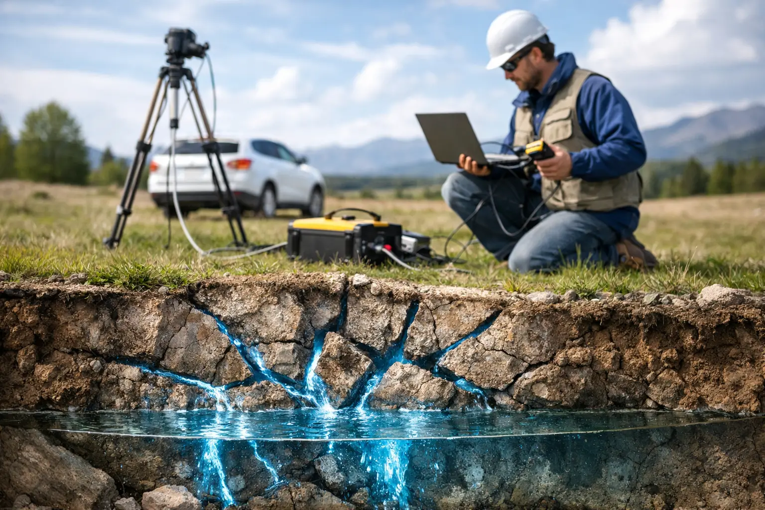
For example, terrain models can be integrated with orthomosaics to add visual context, thermal or hyperspectral data to identify surface anomalies, and magnetic, electromagnetic, or ground-penetrating radar results to investigate subsurface conditions. This does not mean every project needs every sensor. Multi-sensor acquisition should be justified by a clear question, such as whether an observed surface feature aligns with a subsurface utility, moisture pathway, structural trend, or potential geologic target.
Air Solutions applies this principle through calibrated airborne acquisition and interpreted geoscience deliverables. The operating objective is not raw sensor output. It is a cross-validated technical record that can stand behind investment, engineering, environmental, and operational decisions.
Specifying a Point Cloud Survey Correctly
Procurement teams should define the intended decisions before defining the aircraft or sensor. Start with the area, asset types, required coordinate system, vertical datum, expected accuracy, minimum feature size, delivery formats, and acceptance process. Then state whether the data will be used for design, payment quantities, compliance reporting, change detection, or visualization. These uses carry different consequences if a measurement is wrong.
A strong scope also requires independent checkpoints, a documented QA/QC report, flight and sensor metadata, classification requirements, and clear treatment of inaccessible or occluded areas. If repeat surveys are expected, specify consistent control, acquisition, and reporting methods from the first campaign. This creates a defensible baseline rather than a collection of disconnected site snapshots.
The most useful question is not, "Can we get a point cloud?" It is, "What decision must this spatial evidence support, and what level of traceability will that decision require?" Answer that early, and the survey becomes a controlled technical asset rather than another large file waiting for someone to interpret it.