Saudi Arabia's largest development programs are no longer constrained primarily by whether data can be collected. The constraint is whether decision-makers can obtain calibrated, traceable, and engineering-relevant intelligence early enough to influence design, investment, permitting, and field execution. Vision 2030 survey trends reflect that shift. Project owners increasingly require survey programs that reduce uncertainty across large, complex, and fast-moving sites without compromising technical defensibility.
For mining operators, utilities, water authorities, EPC contractors, and public-sector planners, this changes the role of airborne surveying. A survey is no longer a discrete field activity followed by a raw data handover. It is an evidence-generation process that must support decisions on where to drill, route, build, inspect, protect, or defer capital.
Vision 2030 Survey Trends Are Raising the Data Standard
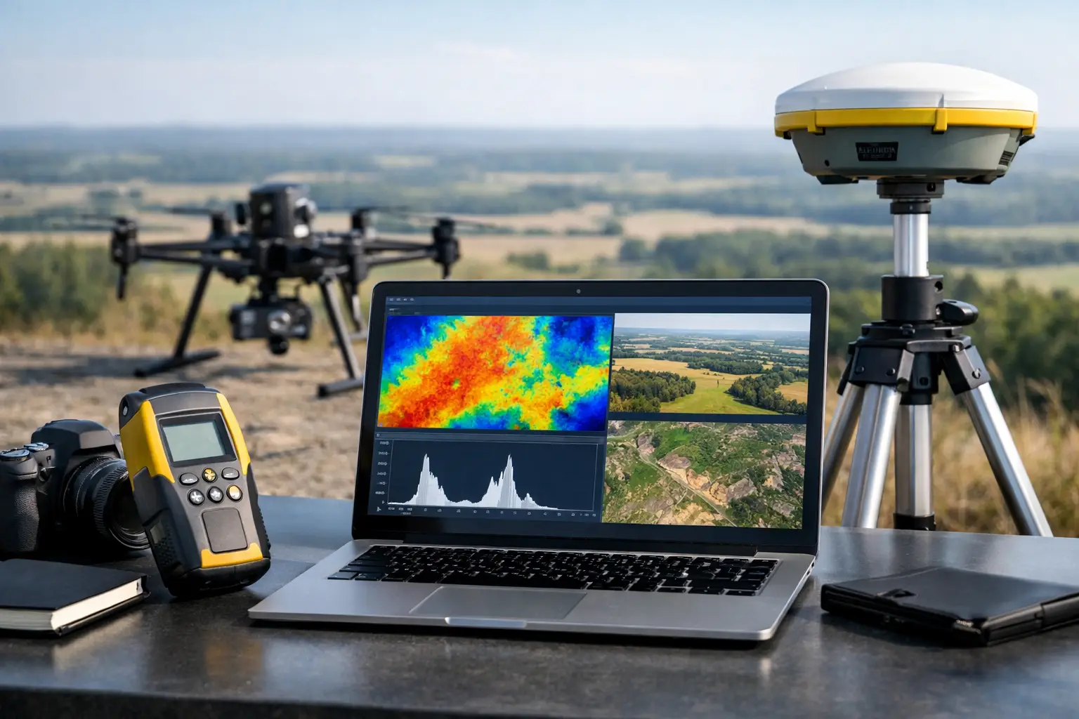
The central trend is a move from single-sensor acquisition toward integrated geospatial intelligence. Orthomosaics, terrain models, magnetic data, electromagnetic responses, radiometric measurements, LiDAR point clouds, and hyperspectral indicators each answer different questions. Their operational value rises when they are spatially aligned, quality-controlled, and interpreted against the project objective.
This is particularly relevant where surface access is limited, terrain is difficult, or the cost of a wrong early-stage decision is high. A high-resolution photogrammetric model can establish surface context, but it cannot independently characterize subsurface structure. Aeromagnetic and electromagnetic methods can identify structural trends or conductivity contrasts, but interpretation is stronger when terrain, geology, drainage, and existing borehole information are evaluated together.
The result is a growing demand for survey deliverables that are ready for technical review: calibrated datasets, stated processing parameters, acquisition logs, QA/QC records, interpretation layers, and limitations clearly documented. Clients are placing greater value on data that can withstand internal investment committees, engineering reviews, and regulatory scrutiny.
Faster Mobilization Must Not Reduce Control
Vision 2030 programs often operate on compressed development schedules. Survey providers are therefore expected to mobilize rapidly, cover extensive areas efficiently, and produce usable outputs on a defined reporting cycle. Drone-based platforms are well suited to this requirement, particularly for localized investigations, corridor surveys, difficult-access areas, and repeated monitoring.
Speed alone is not a performance metric. Fast collection without flight planning discipline, sensor calibration, ground control strategy, or repeatable processing creates uncertainty that may only become visible after design decisions have been made. The more demanding standard is controlled speed: a field program that mobilizes quickly while retaining documented acquisition geometry, positional accuracy, data completeness checks, and auditable processing workflows.
This distinction matters in desert environments, where heat, wind, dust, terrain relief, and logistics can affect both safety and data quality. Operational planning must account for payload limitations, battery management, sensor stabilization, terrain clearance, line spacing, magnetic compensation where required, and contingency procedures. A rapid deployment is only valuable if the resulting dataset is fit for its intended technical use.
Multi-Sensor Fusion Is Replacing Isolated Deliverables
A second major pattern is the replacement of isolated map products with cross-validated intelligence packages. Project teams do not need an impressive point cloud or a visually detailed image for its own sake. They need to understand what the data means for resource potential, groundwater occurrence, buried infrastructure, slope condition, construction risk, or asset integrity.
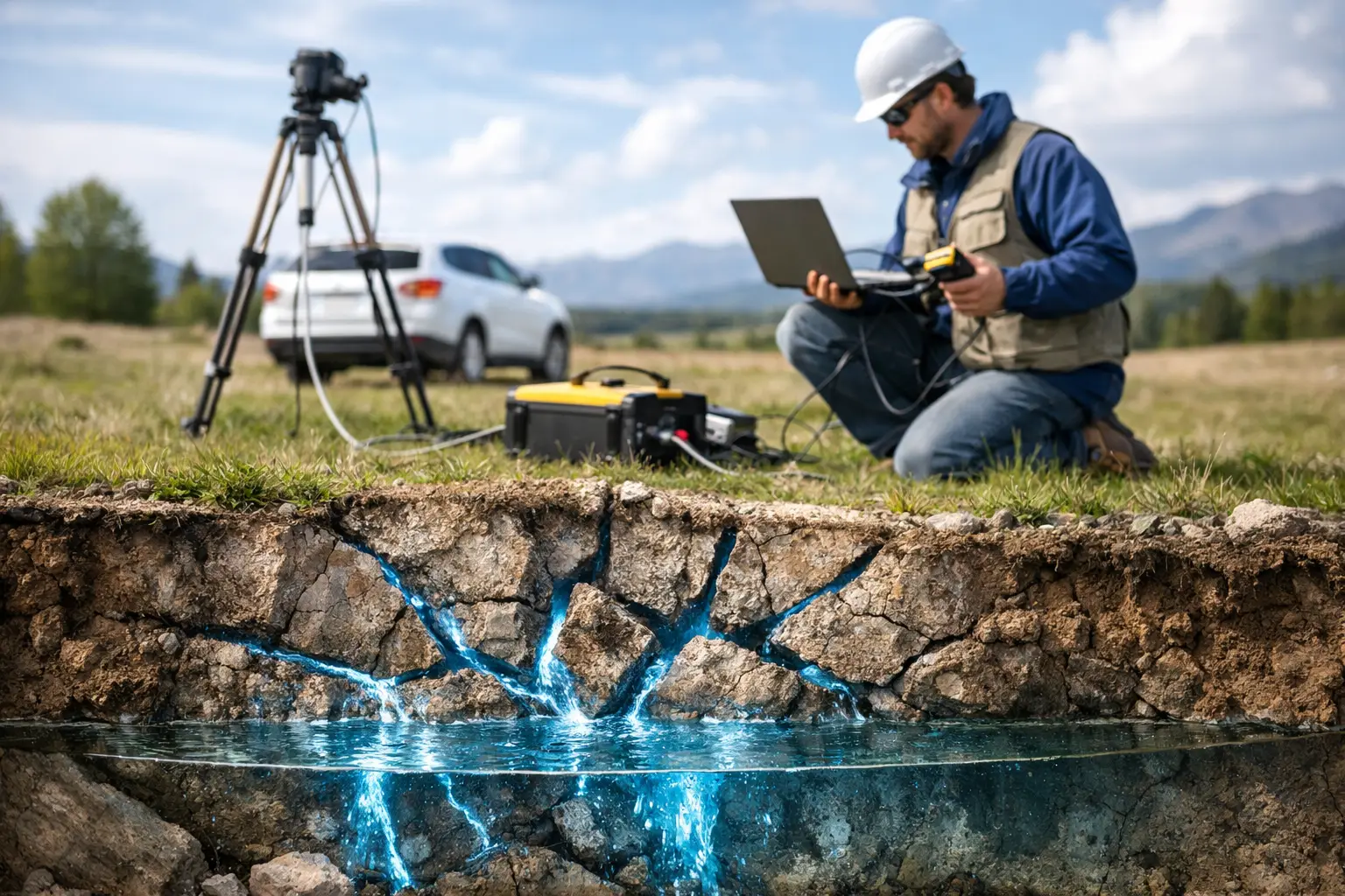
For example, a groundwater exploration program may combine electromagnetic survey responses with geomorphology, structural mapping, elevation data, field observations, and available well records. No single dataset can confirm a productive aquifer. Together, the datasets can narrow the target area, identify potential recharge pathways, distinguish likely conductive materials, and prioritize locations for confirmatory drilling.
The same principle applies to mineral exploration. Magnetic gradients may indicate lithological boundaries, faults, dikes, or alteration-related structures. When integrated with radiometric patterns, surface geology, topography, and targeted geochemical or drilling information, those features become more useful for ranking prospects. The survey program does not eliminate geological uncertainty. It reduces uncertainty in a transparent and measurable way.
Where Vision 2030 Survey Trends Matter Most
The strategic importance of geospatial intelligence varies by sector, but the underlying requirement is consistent: obtain defensible information before field risk and capital exposure increase.
Mining and Critical Minerals
Saudi Arabia's mining expansion requires regional targeting as well as detailed site characterization. Airborne magnetic, radiometric, electromagnetic, LiDAR, and hyperspectral methods can support different stages of that process, from reconnaissance and structural interpretation through target refinement and baseline mapping.
The trade-off is survey scale versus resolution. Wide-area work benefits from efficient coverage and consistent regional datasets, while prospect-scale programs require tighter line spacing, higher spatial detail, and more targeted interpretation. Procurement teams should define the decision the survey must support before selecting a sensor package. A reconnaissance dataset should not be expected to provide drill-ready certainty, and a detailed survey should not be deployed over a regional area without a clear targeting rationale.
Water Resources and Environmental Planning
Water investigations increasingly require a combined view of surface terrain, drainage behavior, possible subsurface pathways, infrastructure constraints, and environmental sensitivity. LiDAR and photogrammetry can provide high-detail terrain and watershed context. Electromagnetic methods may help identify conductive zones that warrant further hydrogeological investigation. Thermal or hyperspectral observations can add useful surface indicators in selected conditions.
Interpretation remains conditional. Conductivity can result from saline groundwater, clay-rich units, saturated sediments, or buried anthropogenic material. It must be correlated with geology, borehole data, water quality results, and field verification. A disciplined survey report makes those dependencies explicit rather than presenting geophysical anomalies as confirmed water resources.
Infrastructure, Utilities, and Megaproject Delivery
Major linear and vertical infrastructure programs require accurate terrain models, construction-progress intelligence, corridor constraints, and utility risk management. The strongest survey workflows combine positional accuracy with clear metadata, version control, and repeatable comparison between survey epochs.
For utility detection, methods such as ground-penetrating radar, electromagnetic locating, and surface mapping each have practical limitations. Signal penetration varies by soil condition, material, depth, moisture, and site congestion. The responsible objective is not to claim certainty where the method cannot provide it. It is to produce a risk-ranked, clearly qualified utility intelligence layer that directs verification activity and reduces unnecessary excavation exposure.
Procurement Is Shifting From Equipment to Evidence
One of the most consequential Vision 2030 survey trends is the way technical buyers assess vendors. Sensor specifications still matter, but they are no longer sufficient. A technically credible proposal should explain the acquisition methodology, sensor configuration, survey geometry, positioning approach, calibration procedures, quality checks, processing chain, interpretation scope, and final reporting format.
Buyers should also distinguish between data delivery and decision-grade delivery. Raw files, images, and point clouds may be valuable to an internal geospatial team, but they transfer significant processing and interpretation responsibility to the client. An interpreted product can accelerate action, provided the assumptions, confidence levels, and data limitations are fully disclosed.
For high-value projects, the strongest commercial model is often staged. An initial pilot can validate sensor response, access conditions, data quality, and operational assumptions before a full deployment. This approach protects capital while establishing a baseline for scale, resolution, and reporting requirements. It also exposes practical constraints early, when survey design can still be adjusted without disrupting downstream engineering.
The Operational Requirement: Auditability From Flight to Finding
Auditability is becoming a defining requirement rather than an administrative add-on. Project owners need to know when and where data was acquired, what equipment was used, how it was calibrated, how gaps or anomalies were handled, and which processing steps produced the final interpretation.
That chain of evidence is essential when survey outputs inform land access, drilling, route selection, environmental approvals, or infrastructure design. It supports peer review and makes it easier to compare repeat surveys over time. Air Solutions applies this controlled workflow by combining desert-ready airborne acquisition with documented QA/QC and sector-specific interpreted reporting.
The practical test for any survey program is straightforward: can a technical reviewer trace a recommendation back to measured data, stated methodology, and defensible interpretation? When the answer is yes, survey intelligence becomes a project control instrument rather than another dataset awaiting analysis.
As development activity accelerates, the strongest survey investments will be those designed around a defined decision, not a preferred sensor. Start with the uncertainty that is delaying action, then specify the evidence needed to reduce it.