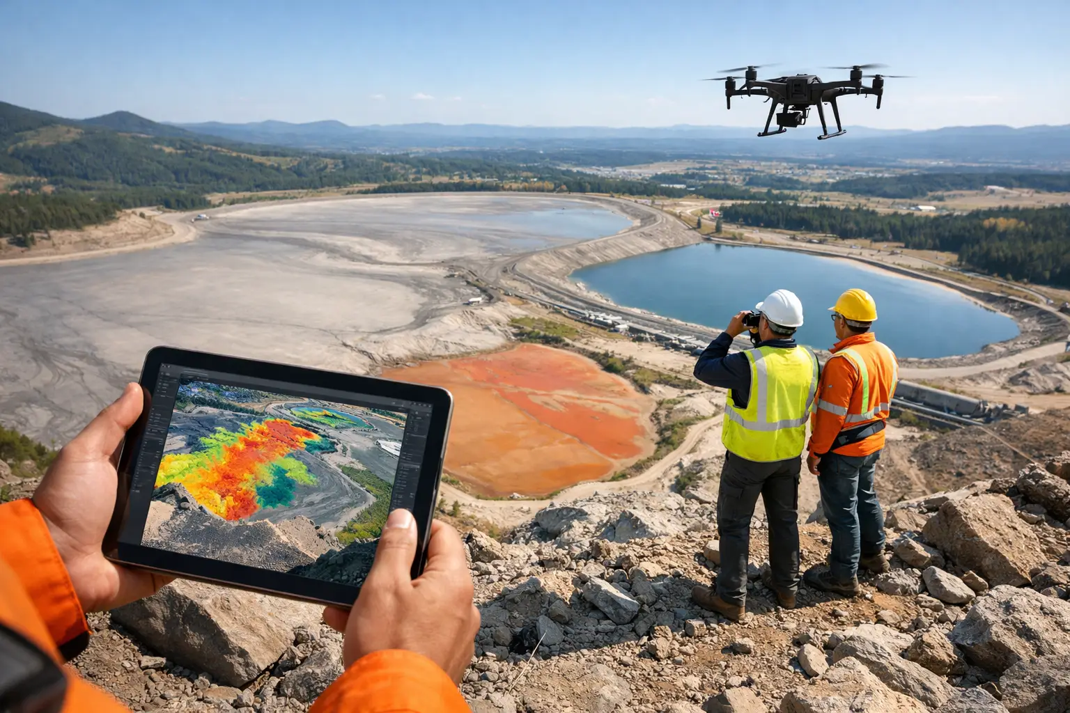
A tailings facility can change materially between scheduled ground inspections. A localized wet zone, an altered drainage path, a developing crest settlement, or unexpected erosion may be difficult to recognize from a vehicle route or a limited set of survey points. Remote sensing for tailings provides the repeatable spatial evidence required to identify those changes early, quantify their extent, and direct field verification where it matters most.
For mine operators, engineers of record, and environmental teams, the objective is not to collect more imagery. It is to establish a measured, traceable view of the facility that supports operational control, risk management, and defensible reporting. The value comes from calibrated acquisition, consistent repeat coverage, and interpretation that relates observed change to dam geometry, water management, material behavior, and site conditions.
What Remote Sensing for Tailings Must Measure
A tailings monitoring program must address more than surface appearance. The relevant questions are spatial and time-dependent: Has the crest moved? Has the outer slope changed? Where is water accumulating? Are drainage controls functioning? Has the deposition beach geometry shifted? Is vegetation or erosion obscuring an emerging issue?
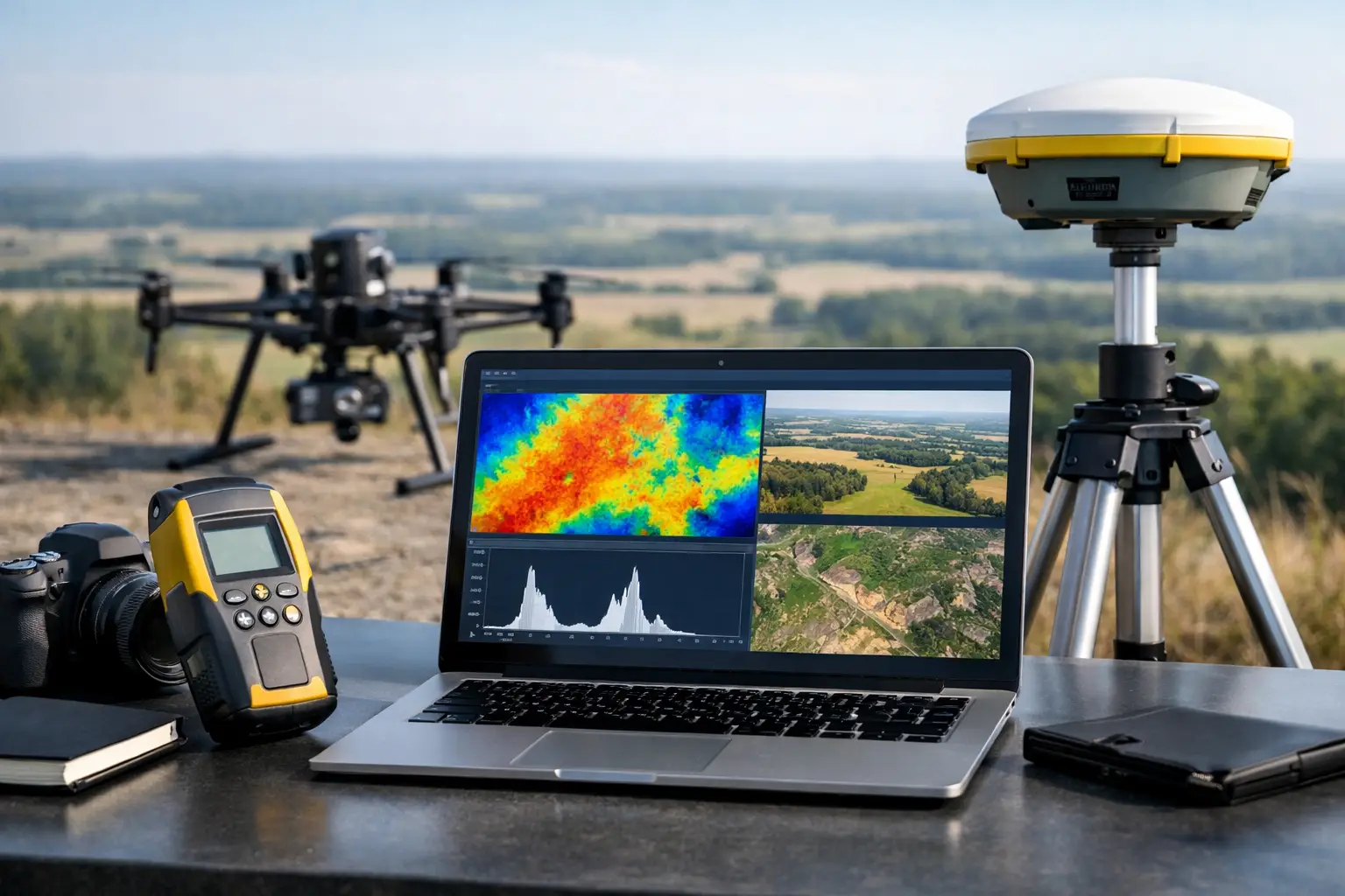
No single sensor answers every question. High-resolution photogrammetry can produce detailed orthomosaics and surface models for visual inspection, volumetric comparison, and geometry assessment. LiDAR provides highly consistent elevation measurement and can retain terrain definition where texture is poor or vegetation complicates image-based modeling. Thermal data can help screen for temperature contrasts associated with seepage pathways or wet ground, while hyperspectral methods may distinguish material, moisture, mineralogical, or vegetation conditions that are not apparent in conventional imagery.
The correct sensor package depends on the facility's risk profile, geometry, material characteristics, access limitations, and the decision to be supported. A high, actively raised embankment with complex drainage may justify a multi-sensor baseline and frequent focused surveys. A closed facility may require lower-frequency topographic and erosion monitoring. In both cases, comparison against a controlled baseline is more useful than isolated data collection.
Establish the Baseline Before Monitoring Change
Reliable change detection starts with a survey design that can be repeated. That includes flight altitude, ground sampling distance, overlap, sensor calibration, control strategy, coordinate reference system, datum, and processing workflow. If any of these vary without documentation, apparent movement can reflect survey inconsistency rather than a physical condition at the facility.
A baseline should capture the dam crest, downstream and upstream slopes, toe drains, spillways, decant structures, beaches, ponds, diversion channels, access routes, and relevant borrow or stockpile areas. It should also extend beyond the immediate embankment where surface runoff, downstream drainage, or adjacent construction can affect performance.
Ground control and independent checkpoints remain central to accuracy assurance. Drone surveys are efficient, but efficiency does not replace survey discipline. Control must be tied to the project coordinate framework, and the final deliverable should report horizontal and vertical accuracy, point density or image resolution, processing parameters, exclusion areas, and known limitations. This creates an auditable basis for later comparison.
Deformation Monitoring Requires More Than a Color Map
A detailed orthomosaic is useful for communication, but it is not sufficient evidence of deformation. Settlement, lateral displacement, crest deterioration, and slope change require elevation models and repeatable measurement conditions. Digital surface model differencing can identify cut-and-fill patterns, crest elevation variation, erosion gullies, and changes to pond margins. Cross-sections extracted along fixed alignments make those changes easier for engineering teams to review against design geometry and instrument data.
Interpretation must remain cautious. Surface-model change can be affected by standing water, shadows, moving equipment, vegetation, and differences in point-cloud classification. A small elevation anomaly is not automatically a geotechnical finding. It is a location for review against piezometers, inclinometers, survey monuments, operational records, rainfall, and visual inspection.
Where the consequence of movement is high, remote sensing should supplement rather than replace in-situ instrumentation. Instruments measure behavior at specific locations and depths. Airborne surveys provide the spatial context between those points. Combined, they can show whether an instrument response is isolated, whether a broader pattern is developing, or whether a field inspection should be escalated.
Water, Seepage, and Drainage Indicators
Water management is often the most operationally sensitive part of a tailings facility. Drone-derived terrain models can map pond extent, freeboard conditions, drainage gradients, channel blockage, and areas vulnerable to runoff concentration. Frequent acquisition after significant rainfall or operational changes gives teams an objective record of how water is moving across the site.
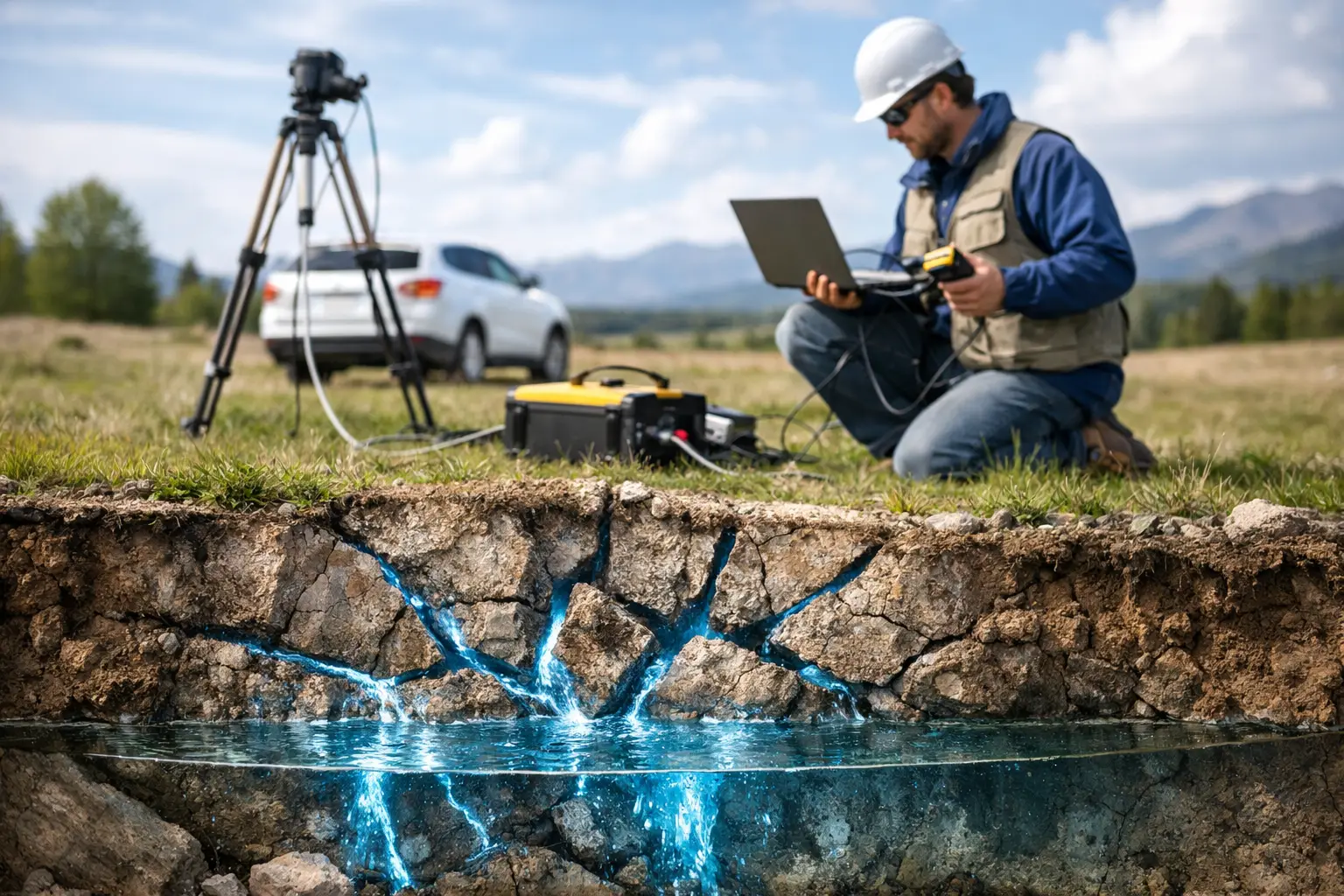
Thermal sensing can be valuable when it is planned correctly. Temperature anomalies may indicate wet ground or potential seepage expression, especially when acquisition timing and ambient conditions create useful thermal contrast. Yet thermal signatures are influenced by sun exposure, wind, surface material, time of day, and shallow water. A thermal anomaly is a screening indicator, not confirmation of seepage. It should trigger ground validation and, where appropriate, review alongside piezometric and drainage data.
Hyperspectral data can add another layer of discrimination by identifying surface material differences, moisture-related spectral response, salt accumulation, or stressed vegetation near drainage zones. Its use is most effective when the interpretation is calibrated to site-specific materials and ground observations. Generic spectral classifications rarely meet the standard required for dam management decisions.
A Practical Acquisition Model for Tailings Facilities
The monitoring interval should follow risk and operations, not a fixed marketing schedule. A facility under active construction, raising, deposition change, or seasonal rainfall exposure may need weekly, monthly, or event-driven coverage. A stable facility with strong instrumentation coverage may use quarterly or semiannual airborne surveys, supplemented by inspections following storms, earthquakes, or observed anomalies.
A disciplined remote sensing program typically includes four connected elements:
- A controlled baseline survey that establishes geometry, survey control, and asset condition.
- Repeat surveys flown to a documented acquisition specification for valid comparison.
- Targeted inspections of higher-risk areas, such as crest segments, drainage outlets, pond margins, or erosion-prone slopes.
- Interpreted reporting that identifies measured changes, confidence limits, potential causes, and recommended verification actions.
The final element is where many survey programs lose value. Raw point clouds, imagery, and raster files can be technically impressive but operationally incomplete. Project owners need change maps, fixed-profile comparisons, annotated orthomosaics, elevation and volume outputs, anomaly registers, and a concise explanation of what requires attention. Each finding should be traceable to acquisition date, sensor configuration, processing method, coordinate system, and validation status.
Sensor Fusion Improves Context, Not Certainty
The strongest outcomes often come from combining datasets. LiDAR-derived terrain can strengthen elevation analysis where photogrammetry encounters low texture or vegetation. Photogrammetry provides visual detail for identifying erosion, cracking, drainage damage, and operational activity. Thermal or hyperspectral layers can prioritize areas for investigation. GIS then connects these observations with design drawings, geotechnical instruments, hydrology, land disturbance, and previous inspection records.
This is not a substitute for engineering judgment. Data fusion reduces blind spots and improves the speed of review, but it also requires alignment of dates, coordinate systems, spatial resolutions, and confidence thresholds. A layer acquired months apart from the elevation model may be useful for historical context but unsuitable for direct condition comparison. Technical teams should define those limits before interpretation begins.
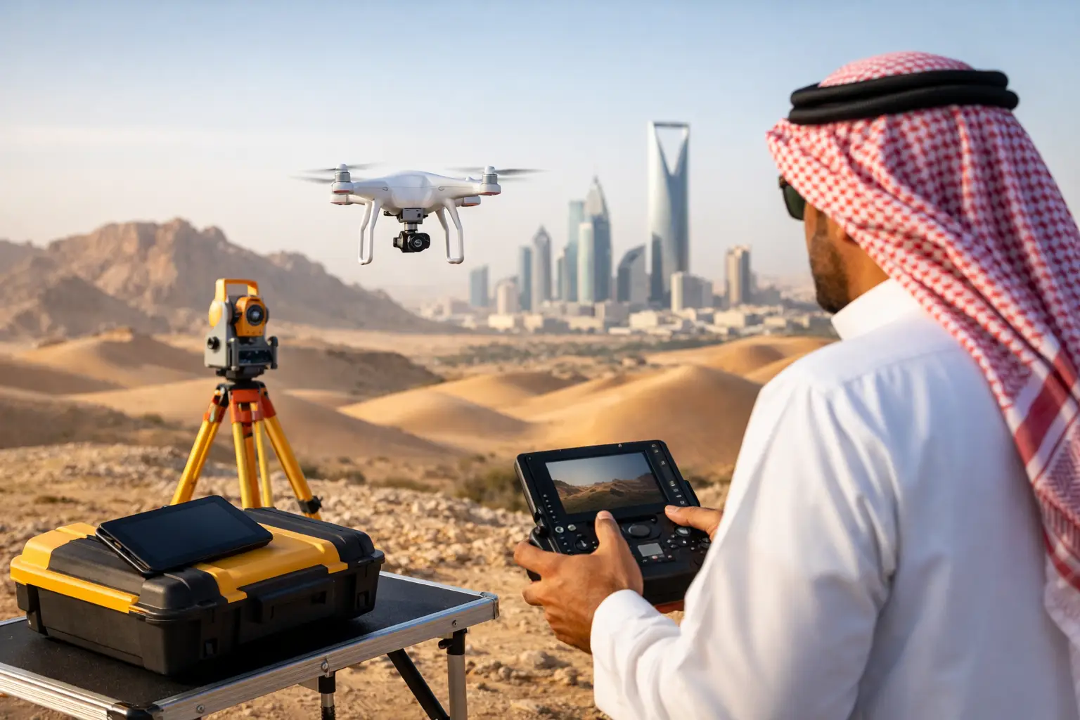
For desert operations, platform reliability and rapid mobilization also matter. Heat, dust, limited road access, and large facility footprints can make ground-only surveys slow and expose personnel to unnecessary risk. Properly planned drone operations can acquire facility-wide data quickly while keeping survey teams out of unstable slopes, active deposition zones, and restricted areas. Air Solutions applies this approach through calibrated multi-sensor acquisition, documented QA/QC, and interpreted outputs designed for technical review rather than image delivery alone.
From Survey Output to Actionable Assurance
Remote sensing becomes decision-grade when it is embedded in a defined response process. Thresholds should identify what level of elevation change, drainage alteration, pond migration, or anomaly extent requires a site inspection, engineering review, or increased monitoring frequency. Those thresholds must be site-specific and governed by the facility's design basis, operational stage, consequence classification, and monitoring plan.
The result is a more complete operational record: what changed, where it changed, how confidently it was measured, and what action followed. That record supports internal assurance, regulator engagement, insurer review, and board-level oversight without confusing visual evidence with verified causation.
The most useful next step is usually a controlled baseline survey tied to the existing monitoring network. Once the facility has a defensible spatial reference, repeat sensing can turn scattered observations into a measured history of performance - and give engineers more time to investigate the conditions that truly deserve attention.