A lidar survey is not simply a faster way to produce contours. For mining, water, energy, and infrastructure programs, it is a controlled measurement system that converts complex terrain into traceable engineering and planning intelligence. The value lies in knowing where elevation, surface form, drainage behavior, vegetation clearance, and asset geometry can be measured with confidence - and where the data must be supplemented by another sensing method.
What LiDAR Measures in the Field
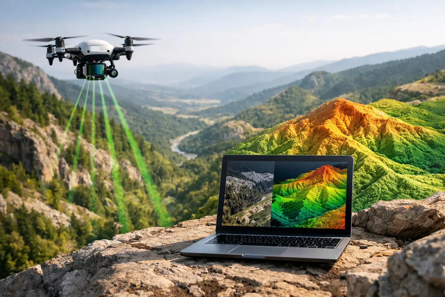
LiDAR, or Light Detection and Ranging, measures distance by emitting laser pulses and calculating the time required for reflected energy to return to the sensor. Mounted on an aircraft, drone, vehicle, or terrestrial platform, the system collects a dense three-dimensional point cloud. Each point has a spatial position, and often attributes such as return number, intensity, scan angle, and classification.
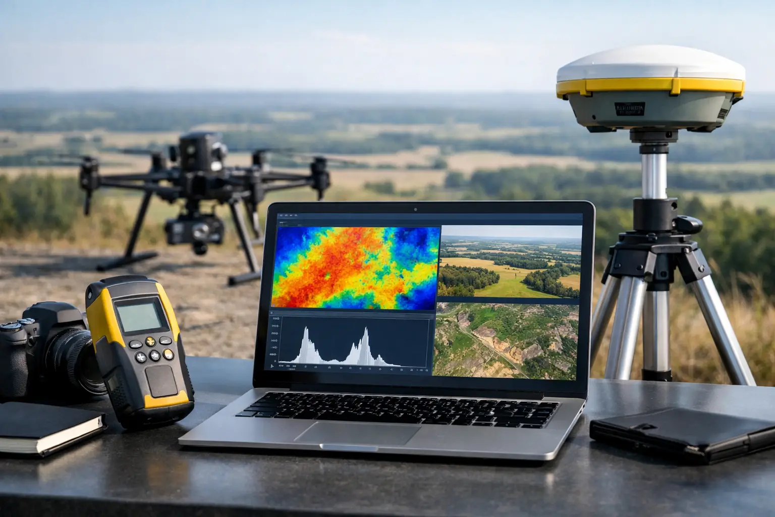
In airborne operations, positional accuracy depends on more than the laser scanner. The payload combines a calibrated sensor with GNSS positioning and an inertial measurement unit. GNSS establishes the platform location, while the inertial system records orientation during flight. These data streams are synchronized, processed, and adjusted against surveyed ground control or check points to create a georeferenced point cloud.
This distinction matters. A visually convincing terrain model is not automatically decision-grade. Survey teams must be able to document sensor calibration, flight parameters, coordinate reference systems, trajectory processing, ground-control methodology, classification rules, and independent accuracy checks. Without that chain of evidence, a point cloud may be useful for visualization but difficult to defend in an engineering, resource, or regulatory workflow.
Why LiDAR Performs Where Conventional Mapping Slows Down
Traditional topographic survey remains essential for localized set-out, boundary control, and critical verification. Yet ground crews can be slow and exposed when a project covers extensive corridors, steep terrain, active industrial facilities, unstable slopes, or remote desert areas. Manned aircraft can cover wide areas, but mobilization, operating cost, and timing may not suit a focused investigation or a fast-moving construction program.
Drone-based LiDAR occupies an operationally valuable middle ground. It can mobilize rapidly, collect dense elevation data over targeted areas, and operate at lower altitude for high-resolution coverage. The result is particularly relevant when project teams need current terrain intelligence before route selection, volume assessment, drainage analysis, access design, or detailed site investigation.
Vegetation penetration is another material advantage. Unlike passive imagery, laser pulses can generate multiple returns. Some pulses reflect from canopy or scrub, while others pass through gaps and reach the ground. Proper classification can then separate vegetation from bare-earth returns to generate a digital terrain model. Performance depends on canopy density, flight geometry, pulse density, season, and the ground surface itself. LiDAR does not see through every vegetation type equally, and claims of complete ground recovery should be treated cautiously.
From Point Cloud to Usable Intelligence
A raw point cloud is an intermediate product, not the end of the survey. Decision-makers usually need derived deliverables that answer a defined operational question. Depending on the assignment, these may include a classified point cloud, digital surface model, bare-earth digital terrain model, contour plan, orthomosaic, breaklines, hillshade model, slope map, cross-sections, cut-and-fill calculation, drainage model, or asset-clearance assessment.
The interpretation process begins before flight. The project team defines the required accuracy, point density, deliverable format, coordinate system, survey boundary, exclusion zones, and acceptance criteria. These requirements determine flight altitude, line spacing, overlap, speed, scanner settings, control layout, and the need for complementary sensors.
After collection, data processing typically follows a disciplined sequence: trajectory correction, point-cloud generation, strip alignment, noise removal, classification, surface generation, accuracy assessment, and technical reporting. Quality assurance is not a final cosmetic step. It is applied throughout processing to identify line-to-line mismatch, GNSS degradation, motion artifacts, sparse coverage, control discrepancies, or classification errors before they enter a client deliverable.
For critical applications, independent check points provide an external test of the final surface. This creates a clear separation between control used to align the dataset and points held back to validate it. The resulting accuracy statement should identify the tested surface, number and distribution of check points, vertical datum, reporting standard, and any known limitations.
LiDAR Applications That Benefit From Traceable Terrain Data
Mining and resource development
LiDAR supports exploration access planning, pit and quarry mapping, stockpile measurement, haul-road assessment, geological surface expression analysis, and environmental baseline work. In early-stage exploration, a high-resolution bare-earth model can reveal drainage patterns, structural lineaments, exposed lithological contacts, and access constraints that are obscured in conventional imagery.
For operating sites, repeat surveys create an auditable record of terrain change. Volume calculations, bench geometry, spoil placement, erosion, and rehabilitation progress can be monitored against an established baseline. LiDAR is most valuable when the survey design is aligned with mine planning tolerances and when terrain products are integrated with geological, magnetic, hyperspectral, or photogrammetric datasets rather than evaluated in isolation.
Water resources and drainage
Small elevation changes can determine whether water accumulates, bypasses an intake, overtops a road, or follows an unintended flow path. LiDAR-derived terrain models support watershed delineation, wadi mapping, drainage design, flood-risk screening, dam and channel inspection, and groundwater recharge studies.
In arid environments, surface drainage may be episodic but highly consequential. A dense, validated terrain model gives hydrologists and infrastructure planners a defensible base for modeling flow paths and identifying low-lying exposure. It does not replace field hydrology, subsurface investigation, or hydraulic modeling. It improves the terrain input on which those analyses depend.
Linear infrastructure and utilities
Roads, rail corridors, pipelines, transmission lines, and utility networks require consistent data across long, often inaccessible alignments. Airborne LiDAR can map terrain, slopes, encroachments, vegetation, structures, and clearance conditions without placing crews in active traffic zones, difficult terrain, or elevated work areas.
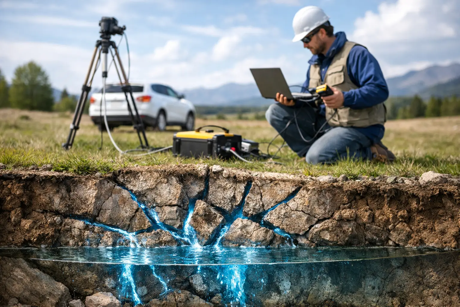
The right output depends on the asset. A corridor design team may need a terrain model and cross-sections. A transmission operator may require conductor, tower, and vegetation classification to evaluate clearance risk. A utility detection assignment may combine LiDAR with ground penetrating radar, electromagnetic methods, existing records, and targeted field verification. No single sensor should be represented as a complete utility map where subsurface conditions remain uncertain.
Where LiDAR Needs Complementary Methods
LiDAR is exceptionally effective at describing surface geometry, but it does not directly measure subsurface geology, buried utilities, groundwater depth, or material properties. A terrain anomaly may indicate a geological feature, an excavation, a drainage issue, or a processing artifact. Interpretation requires context.
For mineral exploration, LiDAR terrain products can be fused with aeromagnetic, electromagnetic, radiometric, and hyperspectral data to relate surface morphology to structural and geochemical indicators. For water studies, terrain mapping can support the placement and interpretation of geophysical surveys. For construction and utilities, photogrammetry adds rich visual context, while GPR and electromagnetic detection can investigate specific subsurface targets.
This multi-sensor approach reduces the risk of making a high-value decision from a single data layer. It also makes field programs more efficient: LiDAR defines the terrain framework, then targeted sensors and ground verification address the remaining uncertainty.
Selecting a LiDAR Survey Partner
Procurement should focus on execution control, not only sensor specifications or headline point density. A lower-density dataset with sound trajectory processing, appropriate control, clean classification, and documented checks can be more useful than a dense point cloud with unclear accuracy.
Technical evaluators should ask how the contractor will establish vertical and horizontal control, manage GNSS outages, validate strip alignment, classify ground under site vegetation, report accuracy, and preserve raw-to-final data traceability. They should also confirm whether the team understands access restrictions, industrial safety requirements, airspace permissions, heat exposure, dust, and the practical constraints of field mobilization.
Air Solutions approaches LiDAR as an integrated geospatial acquisition and interpretation discipline. The objective is not to deliver more data. It is to provide calibrated terrain intelligence that project teams can audit, integrate, and act on.
For any major site, the most useful first question is not, “What point density can we collect?” It is, “What decision must this terrain data support, and what evidence will make that decision defensible?” That question produces a better survey design before the first flight line is planned.