A drilling program, transmission corridor, or mine expansion can lose weeks before the first engineering decision is made because the available site information is incomplete, outdated, or difficult to validate. A drone survey changes that operating position. When designed around the decision required, it provides calibrated, spatially referenced intelligence on terrain, assets, surface conditions, and selected subsurface indicators without relying exclusively on slow ground campaigns or manned aircraft mobilization.
For industrial operators, the question is not whether an unmanned aircraft can collect images. It is whether the resulting dataset can withstand technical review, integrate with existing GIS and engineering workflows, and reduce uncertainty at the point where capital, safety, and schedule decisions are made. That distinction separates recreational aerial capture from a professional survey operation.
What a Drone Survey Should Deliver
A decision-grade drone survey is an airborne data acquisition and interpretation program. The aircraft is only one component. The outcome depends on mission planning, sensor selection, field control, calibration, processing discipline, QA/QC, and reporting that answers a defined operational question.
A photogrammetry mission may produce orthomosaics, digital surface models, contours, volumetric calculations, and 3D site models. A LiDAR deployment can characterize bare-earth terrain beneath sparse vegetation, map stockpiles, document corridors, and support grading or drainage analysis. Magnetic, electromagnetic, radiometric, hyperspectral, and ground-penetrating radar programs address different geological, environmental, and infrastructure questions.
The correct output is therefore not simply a folder of imagery or a raw point cloud. It may be a classified terrain model, a utility-risk map, an interpreted magnetic anomaly plan, a change-detection report, a corridor obstruction inventory, or a groundwater target assessment. Each deliverable should be traceable to the source data, processing parameters, control framework, and stated accuracy limitations.
Match the Sensor to the Decision
Sensor choice determines what a survey can prove, what it can only indicate, and where complementary investigation is still required. A high-resolution camera is effective for visible surface condition, progress monitoring, stockpile measurement, and detailed site documentation. It cannot directly identify buried utilities or establish the composition of a geological target.
LiDAR measures dense three-dimensional point data and is particularly valuable where elevation precision, complex structures, or terrain definition are the priority. Its performance depends on flight altitude, point density, GNSS and inertial solution quality, control design, and classification methodology. LiDAR is not automatically superior to photogrammetry. On an open, stable surface with strong visual texture, photogrammetry may be the more economical method. In low-texture areas, vegetation, steep terrain, or complex asset geometry, LiDAR may justify the additional cost.
For mineral exploration and regional geoscience, aeromagnetic and electromagnetic sensing can identify structural trends, lithological contrasts, conductive zones, and other features that warrant further investigation. These methods do not replace drilling, sampling, or geological judgment. They reduce the search area and create a stronger basis for targeting.
Utility and infrastructure investigations often benefit from multi-sensor integration. Surface evidence, as-built records, LiDAR, photogrammetry, magnetic response, and GPR can be cross-validated to develop a more reliable utility interpretation. No single sensor should be presented as certainty where site conditions, depth, material, or interference create ambiguity.
Why Data Fusion Matters
Industrial sites rarely present a single-variable problem. A pipeline corridor may require terrain data, encroachment documentation, drainage assessment, visible asset condition, and possible utility conflict identification. A mining license may require regional structure interpretation, topographic control, access planning, and ground-truth targets.
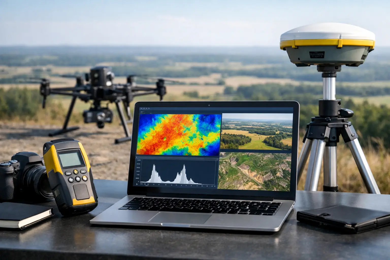
Data fusion brings these layers into a common coordinate framework and evaluates their relationship. It reduces the risk of making a major decision from a visually compelling but technically isolated dataset. The process must be documented: datum selection, sensor calibration, time synchronization, line planning, ground control, positional corrections, and interpretation assumptions all affect confidence in the final product.
Field Execution Is Where Accuracy Is Won or Lost
A drone survey cannot be made defensible through software alone. The mission begins with a technical scope that defines the area of interest, required resolution, expected accuracy, terrain and access constraints, safety controls, airspace requirements, sensor configuration, and acceptance criteria.
Field teams should establish an appropriate geodetic framework before acquisition begins. Depending on project requirements, this may include surveyed ground control points, independent check points, RTK or PPK positioning, base-station verification, and calibration flights. Check points are especially important because they independently test the accuracy of a model rather than merely supporting its creation.
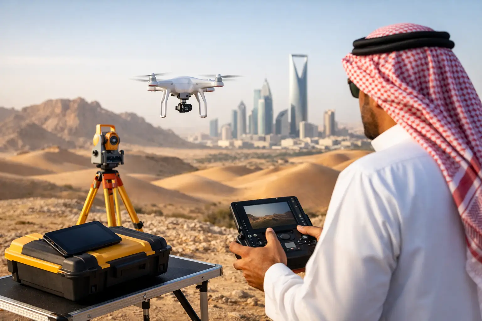
Desert and industrial environments require further discipline. High temperatures affect batteries and electronics. Dust can degrade sensors and complicate visual interpretation. Featureless sand, reflective roofs, restricted access zones, electromagnetic interference, and active plant operations all require adjustments to flight design and quality procedures. Rapid mobilization has value, but speed cannot replace pre-mission risk assessment or controlled acquisition.
During production, operators should monitor coverage, overlap, sensor health, positioning quality, flight-line deviation, and environmental conditions. Reflight decisions should be made in the field when data gaps or degraded measurements are identified, not after demobilization. This is one reason experienced airborne survey teams can materially reduce project risk: they recognize unacceptable data while corrective action is still practical.
QA/QC Converts Data Into a Defensible Deliverable
Technical buyers should assess a drone survey provider by the controls surrounding the dataset, not by aircraft specifications alone. A reliable program includes documented calibration, acquisition logs, control-point records, sensor metadata, processing workflows, independent accuracy assessment, and clear reporting of exclusions or limitations.
For photogrammetry and LiDAR, QA/QC commonly evaluates positional accuracy, coverage completeness, point density, overlap, surface classification, noise, and consistency with check points. For magnetic and electromagnetic programs, quality control may include diurnal correction, heading assessment, line-leveling, altitude consistency, noise review, repeat-line comparison, and verification of sensor response.
The final report should state how accuracy was measured, not merely assert that the model is accurate. It should identify coordinate reference systems, processing versions, collection dates, weather or site constraints, and interpretation confidence. This audit trail is essential when data will be used in design, tendering, resource targeting, compliance documentation, or disputes.
Where Drone Surveys Create Operational Value
The commercial value of airborne data is most visible when it shortens a critical path or removes a field constraint. For construction and megaproject teams, repeatable terrain and progress models can establish a common factual record across contractors, owners, and engineers. Quantified earthworks, haul-road conditions, drainage changes, and asset locations can be reviewed without waiting for a conventional site-wide survey cycle.
For mining and exploration teams, drones can collect high-resolution topography and targeted geophysical data over difficult terrain with lower mobilization requirements than manned aircraft. The strongest use case is not indiscriminate coverage. It is a survey designed to test a geological hypothesis, refine targets, or improve access and drill-planning decisions.
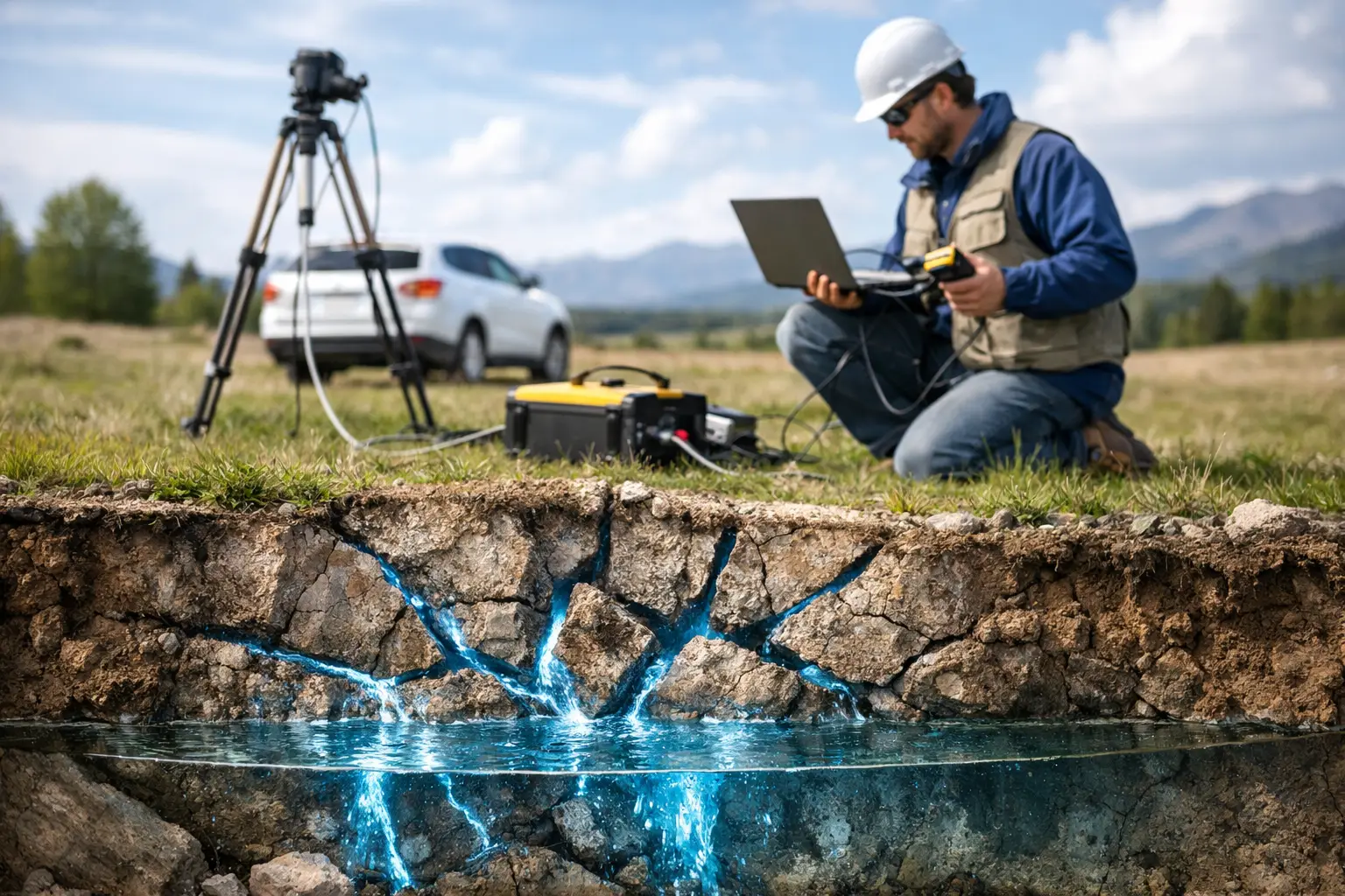
Water-resource programs can combine terrain analysis, structural interpretation, thermal or hyperspectral indicators where appropriate, and targeted geophysical methods to prioritize groundwater investigation. The resulting interpretation still requires hydrogeological validation, but it can make ground investigations more focused and cost-effective.
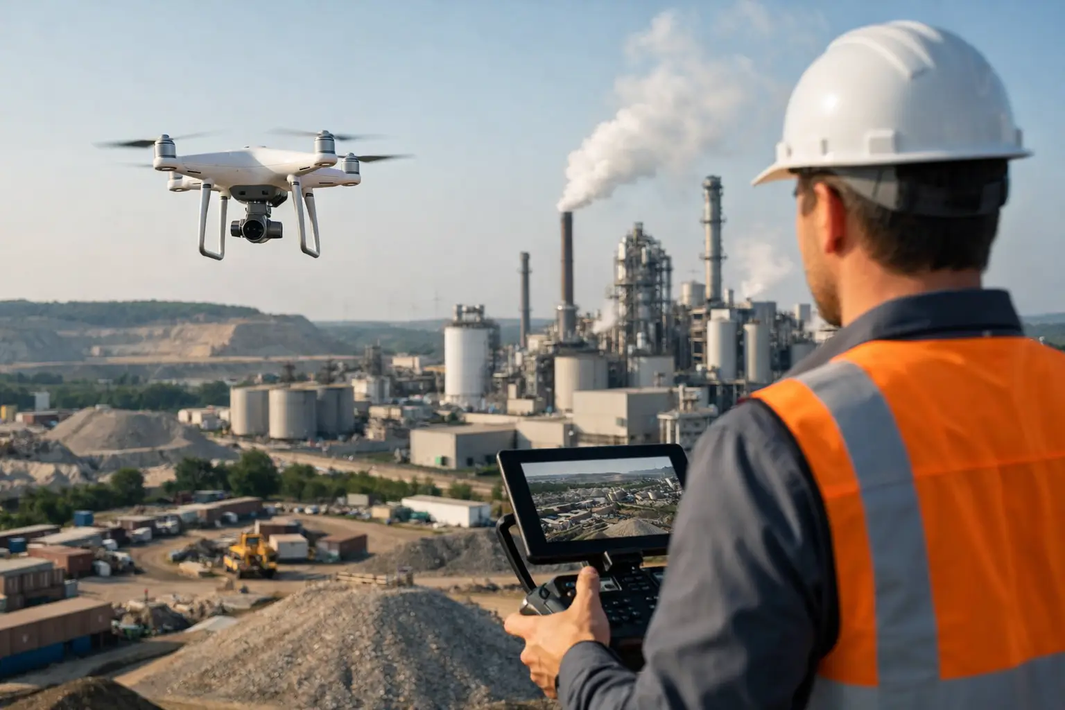
Utilities and energy operators use drone-based mapping to assess rights-of-way, document asset condition, identify encroachments, evaluate access constraints, and build current spatial records. In confined or hazardous environments, specialized unmanned inspection platforms can reduce personnel exposure while delivering visual and dimensional evidence for maintenance planning.
Define Success Before Mobilization
A well-scoped survey starts with the decision that the client must make next. Is the requirement a terrain model accurate enough for preliminary design? A volumetric inventory for commercial reconciliation? A geophysical dataset to prioritize drill targets? A utility interpretation to reduce excavation risk? Each objective drives different tolerances, sensor choices, control requirements, processing methods, and reporting formats.
Procurement teams should also distinguish between relative and absolute accuracy. A model can show internal changes very consistently while still having limited absolute alignment to a national grid. Both may be acceptable, depending on use. The critical requirement is that the stated accuracy matches the engineering, geological, or commercial decision being supported.
Air Solutions approaches airborne acquisition as a controlled geospatial intelligence program, combining fit-for-purpose sensing with documented QA/QC and interpreted deliverables. The aim is not to generate more data. It is to reduce uncertainty with evidence that technical teams can review, cross-validate, and act on.
The next project should not begin with a request for flight hours or imagery resolution. Begin with the decision that cannot wait, the uncertainty that is costing time or creating risk, and the evidence required to resolve it. That is where a properly engineered drone survey earns its place in the project plan.