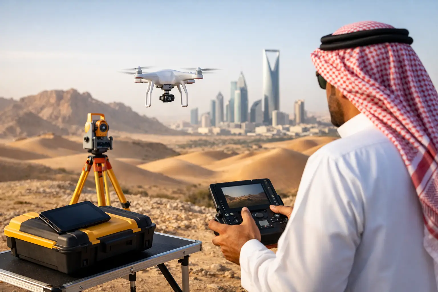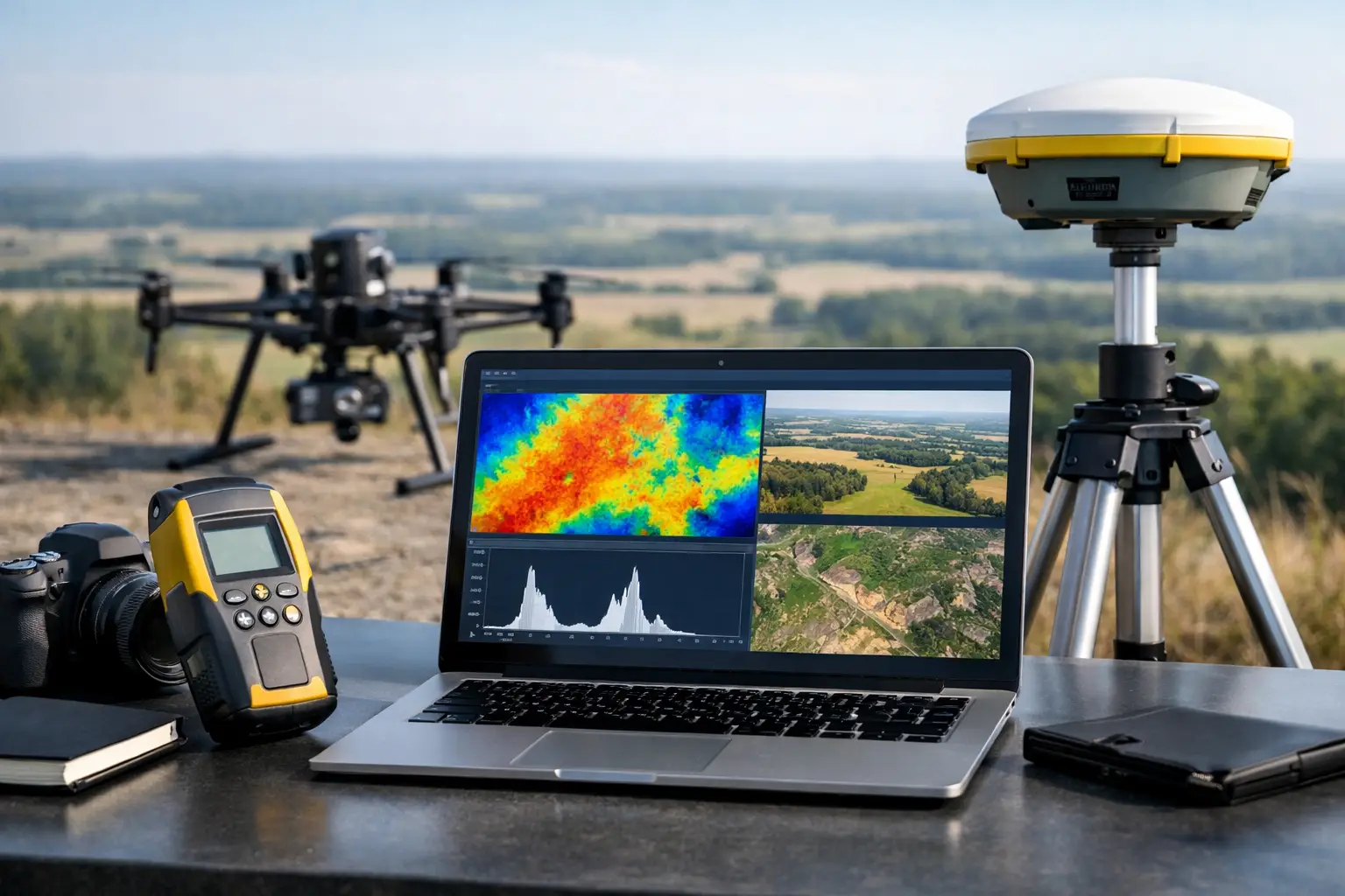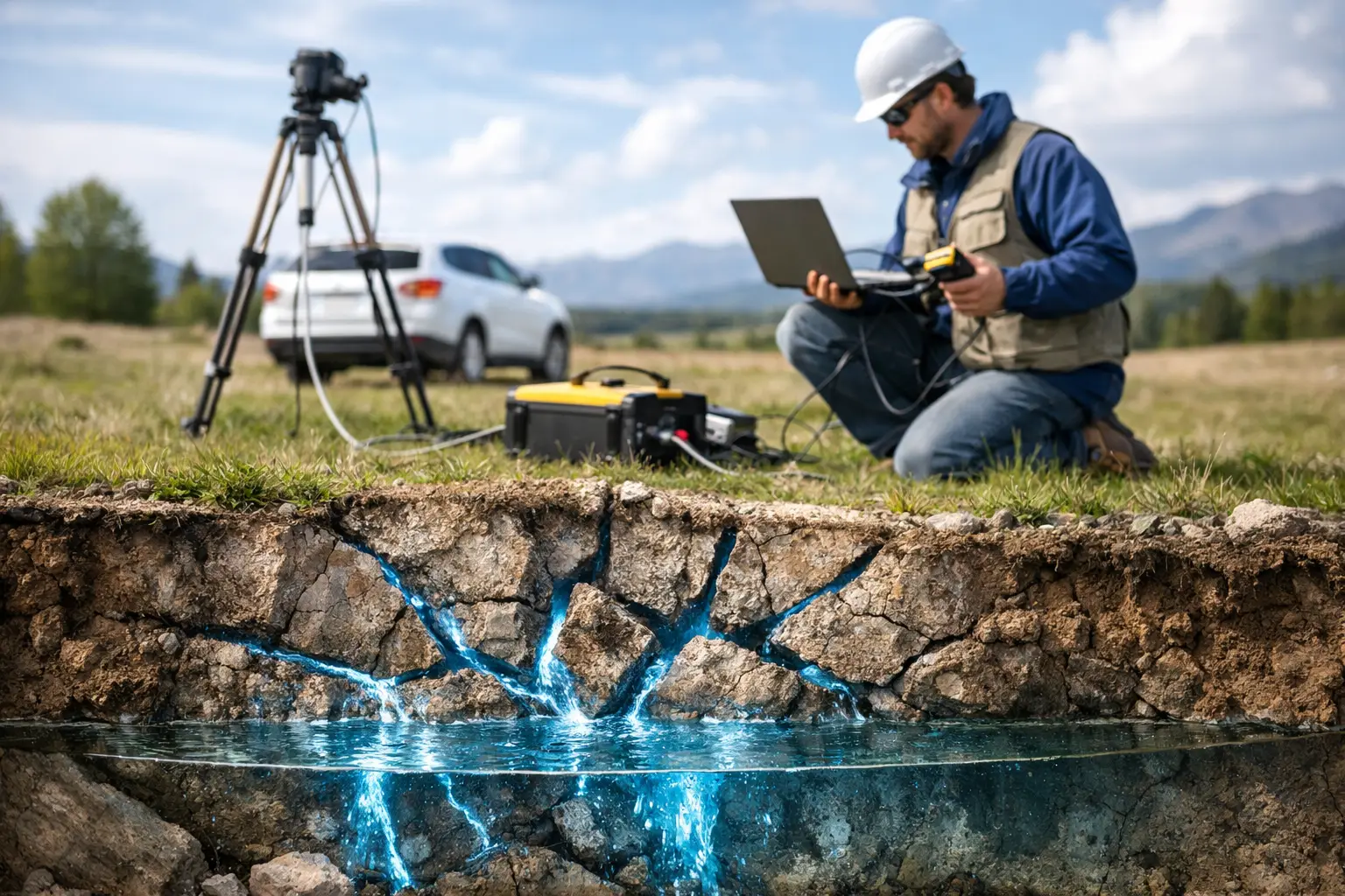
A drone survey does not become investment-grade because it produces a high-resolution image. It becomes investment-grade when the data can be traced from field acquisition through calibration, processing, interpretation, and reporting. The best drone survey deliverables for investors are therefore not isolated files. They are a controlled evidence package that converts site conditions, terrain, subsurface signals, or asset risks into defensible capital intelligence.
For institutional investors, project sponsors, lenders, and development partners, the question is rarely whether a site looks promising. The question is whether the underlying assumptions can withstand technical due diligence, engineering review, regulatory scrutiny, and changing project conditions. A disciplined drone survey program reduces uncertainty only when its deliverables show accuracy, limitations, and decision relevance with equal clarity.
What Investors Need From Drone Survey Deliverables
Investors need outputs that answer a financial question, not simply demonstrate sensor capability. In mining, that may mean identifying structural controls, alteration zones, access constraints, and volumetric potential before committing to a larger exploration campaign. In infrastructure, it may mean validating earthworks progress, flood exposure, utility conflicts, or corridor constructability. In water and energy projects, it may mean narrowing the target area for field investigation while reducing time spent in hazardous or inaccessible terrain.
This changes the deliverable standard. Raw point clouds, orthomosaic tiles, and sensor logs may be necessary technical records, but they are not sufficient as executive decision products. The useful package combines source data with interpreted layers, accuracy statements, geographic context, and a concise explanation of what the findings mean for cost, schedule, risk, and next-stage work.
A credible contractor also separates observed facts from interpretations. A mapped lineament is an observation derived from terrain, imagery, or geophysical response. A statement that the lineament may influence groundwater occurrence or mineralization is an interpretation that should be supported by method, confidence level, and recommended validation activity. That distinction protects the integrity of the investment case.
Best Drone Survey Deliverables for Investors
Calibrated Orthomosaics and Terrain Models
An orthomosaic provides a geometrically corrected aerial base map that can be measured and reviewed within a GIS or engineering environment. For investors, its value lies in site context: access routes, drainage patterns, disturbed ground, surface infrastructure, stockpiles, encroachments, and visible construction progress.
The more consequential deliverable is often the terrain model. A digital terrain model removes vegetation and structures where processing permits, while a digital surface model represents the visible surface. These products support grading analysis, drainage assessment, route planning, cut-and-fill estimates, slope review, and volumetric measurement.
Accuracy must be stated rather than implied. A decision-grade package should document ground control, check points, coordinate reference system, vertical datum, flight parameters, processing settings, and achieved horizontal and vertical accuracy. Without this information, an attractive map may be unsuitable for calculating quantities or validating design assumptions.
LiDAR Point Clouds and Classified Surface Intelligence
LiDAR is particularly valuable where terrain is complex, vegetation obscures the ground, or elevation precision drives project economics. The core deliverable is a georeferenced point cloud, but investors benefit most when it is accompanied by classification and interpretation. Ground, vegetation, buildings, utilities, and other features should be segmented where the acquisition geometry and point density support reliable classification.
From this base, the survey team can produce contours, breaklines, slope maps, drainage models, cross-sections, and change-detection surfaces. In a mine expansion or major civil program, these outputs can test whether reported site conditions match the physical record. In a corridor project, they can expose terrain constraints that affect alignment, earthworks quantities, and access planning.
LiDAR carries trade-offs. It can deliver exceptional topographic intelligence, but it does not replace geotechnical investigation, cadastral verification, or subsurface testing. Investors should treat it as a high-confidence spatial foundation that directs more targeted engineering work.
Volumetric and Change-Detection Reports
For operating assets and construction programs, repeat surveys often matter more than a single capture. A cross-validated volumetric report can quantify stockpiles, excavations, landfill cells, embankments, tailings features, and earthworks movement between defined survey dates.
The report should identify the reference surface, boundaries, density assumptions where tonnage is estimated, excluded areas, uncertainty range, and method used to calculate volumes. A number without these controls is difficult to audit. A number with them can support payment certification, production reconciliation, contractor performance review, and capital monitoring.
Change detection also has strategic value. It provides an independent record of whether construction sequencing, site disturbance, or operational activity is tracking the stated plan. This is especially useful when assets are remote or when sponsors require regular oversight without placing personnel in the field.
Interpreted Geophysical Target Maps
Where the investment thesis depends on what lies below the surface, geophysical interpretation is often the highest-value deliverable. Drone-borne magnetic, electromagnetic, radiometric, and hyperspectral surveys can identify spatial patterns that warrant follow-up, including structural features, conductive zones, lithological boundaries, alteration signatures, and potential groundwater controls.
The critical word is interpreted. Investors should receive more than gridded sensor readings. They need maps that integrate the sensor response with available geology, terrain, historical work, field observations, and project objectives. Target areas should be ranked by rationale and confidence, with recommendations for ground verification, drilling, trenching, sampling, or additional geophysics.
No airborne survey can guarantee an orebody, water yield, or engineering condition. It can, however, materially improve target selection and reduce the cost of pursuing low-priority ground. That is the economic case for multi-sensor acquisition and disciplined data fusion.
Constraint, Risk, and Access Maps
A project can have favorable resource potential and still fail because access, terrain, drainage, environmental constraints, utility corridors, or constructability were underweighted. Constraint mapping turns high-resolution spatial data into a decision layer for project development.
For investors, these maps should identify the location and practical impact of key constraints. Examples include steep slopes, flood-prone channels, unstable cut areas, restricted zones, existing infrastructure, utility conflict areas, or difficult mobilization routes. The map should not overstate certainty where field confirmation is required, but it should clearly show where uncertainty has cost or schedule implications.
This deliverable is particularly relevant to large infrastructure, energy, and industrial developments in arid environments, where access and terrain conditions can shift quickly after seasonal weather events. A current drone survey offers a more immediate condition record than legacy mapping alone.
The QA/QC Records That Make Data Defensible
Technical stakeholders will examine the survey controls before relying on the interpretation. An investor-facing package should include a concise QA/QC register covering sensor calibration, ground control methodology, positional accuracy, flight coverage, line spacing where applicable, altitude, environmental conditions, data completeness, processing workflow, and identified limitations.
For magnetic and electromagnetic work, this may also include base-station records, diurnal correction procedures, heading or lag assessment, line-leveling methods, and residual noise evaluation. For photogrammetry and LiDAR, it should establish control-point residuals, point density, overlap, spatial resolution, and classification checks. These records do not need to overwhelm executive readers, but they must be available for technical due diligence.
Traceability is the difference between a persuasive presentation and a survey result that can be defended months later in an investment committee, claims review, or independent technical report.
Match the Deliverable to the Investment Stage
The correct survey package depends on the decision being made. Early-stage screening benefits from rapid terrain intelligence, regional structural mapping, and clearly ranked targets. Pre-feasibility work requires more precise surface models, constraint analysis, and repeatable geophysical interpretation. Construction and operating assets require quantified change detection, volume control, condition assessment, and an auditable acquisition schedule.
More data is not automatically better. A broad multi-sensor campaign may be justified for a high-value mineral, water, or corridor decision, while a focused photogrammetry and LiDAR deployment may be the better commercial choice for earthworks verification. The survey scope should be calibrated to the value at risk, the cost of delay, and the consequence of being wrong.
Air Solutions structures airborne acquisition around this principle: field data, processed geospatial products, and sector-specific interpretation must arrive as one controlled decision package, not as disconnected technical files.
A Practical Standard for Procurement
When reviewing a drone survey proposal, investors should require a sample reporting structure before mobilization. It should show the executive findings, maps at usable scale, source-data inventory, accuracy statement, QA/QC records, interpretation method, limitations, and recommended next actions. Deliverable formats should also be confirmed early so that GIS teams, engineers, consultants, and lenders can review the same controlled information.
The most useful final report makes uncertainty visible. It identifies what has been measured, what has been inferred, what needs field validation, and how each finding affects the next capital decision. That discipline allows the survey to accelerate investment without creating false confidence - precisely the standard required when terrain, subsurface conditions, and project economics are closely linked.