A credible airborne electromagnetics review does not begin with a sensor specification. It begins with the decision the survey must support: drilling a conductive target, locating fresh-to-brackish groundwater boundaries, mapping buried channels, or reducing uncertainty before a major infrastructure commitment. Airborne EM can deliver high-value subsurface intelligence rapidly, but only when platform selection, line design, calibration, processing, and geological interpretation are controlled as one traceable system.
For mining, water, energy, and infrastructure programs, the relevant question is not whether airborne EM works. The question is whether a specific survey configuration can resolve the target at the required depth, scale, and confidence level within the site’s operating constraints.
What an Airborne Electromagnetics Review Should Assess
Airborne electromagnetic surveying measures the earth’s response to an induced electromagnetic field. Variations in conductivity can indicate features such as saline groundwater, clay-rich zones, alteration halos, conductive mineralization, buried paleochannels, fractured bedrock, and infrastructure-related anomalies. The method is highly effective for screening large areas, but conductivity is not a unique geological answer. Multiple materials can produce similar responses.
A technical review must therefore evaluate the full survey chain rather than treating the final conductivity map as a standalone product. The most decision-relevant criteria are target physics, depth of investigation, spatial resolution, terrain clearance, noise environment, navigation accuracy, calibration records, inversion methodology, and interpretation controls.
This distinction matters in project procurement. A low-cost survey can appear comparable on paper while using wider line spacing, inconsistent terrain following, insufficient base-station control, or processing workflows that obscure uncertainty. Those deficiencies may not be apparent in a color contour map, yet they can materially affect drilling priorities, well placement, route selection, and capital allocation.
Start With the Conductivity Contrast
The survey’s technical case rests on conductivity contrast. A conductive sulfide body may be detectable against resistive host rock; a saline aquifer may be distinguishable from fresher groundwater; a clay-filled channel may stand out below dry alluvium. If the target and surrounding geology have little electrical contrast, airborne EM may still contribute context, but it should not be presented as a direct detection tool.
Depth is equally conditional. Deeper investigation generally requires lower-frequency or time-domain system characteristics, but greater depth comes with reduced resolution and increased sensitivity to noise. A shallow engineering target beneath variable fill requires a different survey design than regional groundwater delineation or mineral exploration beneath conductive overburden.
A disciplined review asks whether the anticipated anomaly is large enough, conductive enough, and sufficiently separated from surface effects to be resolved. It also identifies what the data cannot reliably distinguish without supporting geology, borehole logs, ground geophysics, or hydrochemical evidence.
Platform and Sensor Selection Are Operational Decisions
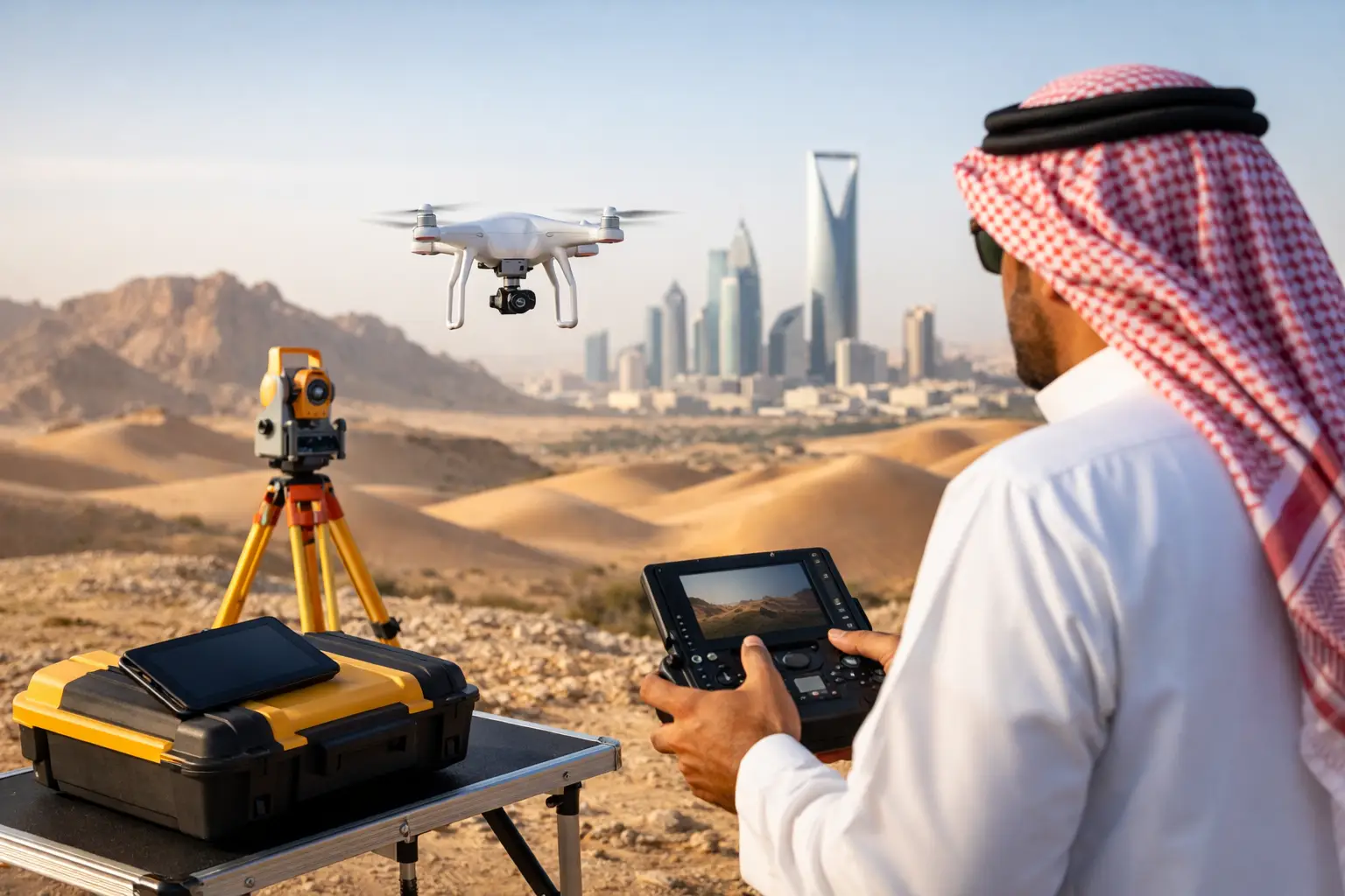
Manned-aircraft EM systems can cover large regional areas efficiently. Drone-based systems offer a different operating model: rapid mobilization, lower-altitude collection where permitted and safe, tighter survey control over defined blocks, and access to areas where conventional aircraft logistics are disproportionate to the assignment.
Neither platform is automatically superior. The correct choice depends on survey extent, terrain, airspace restrictions, required line spacing, target depth, access conditions, and delivery schedule. For a national-scale reconnaissance program, fixed-wing coverage may be commercially appropriate. For a focused exploration block, water-resource investigation, linear corridor, or difficult industrial site, a drone platform can reduce mobilization time while preserving high-density acquisition.
The review should also separate sensor capability from system capability. Sensor performance is only one factor. The actual survey outcome depends on aircraft motion, terrain clearance, electromagnetic interference, positioning, attitude correction, pilot execution, and field QA/QC. In desert environments, heat, dust, wind, and sparse landing options add operational variables that must be planned rather than assumed away.
Survey Design Determines Whether Results Are Defensible
Line spacing, line direction, tie-line frequency, sampling interval, and terrain clearance define the survey’s ability to resolve geological structure. These parameters should be tied directly to the smallest target dimension and the preferred geological strike direction.
For example, survey lines should generally cross the expected strike of conductive structures rather than run parallel to them. Wide line spacing may identify regional conductivity domains but can miss narrow targets or misrepresent their continuity. Conversely, very tight spacing can add cost without improving the decision if the target is broad and the required output is regional characterization.
Terrain clearance requires the same discipline. Flying lower can improve near-surface response and spatial resolution, but it may increase operational risk or introduce variability over rugged terrain. The objective is not the lowest possible altitude. It is stable, safe, well-documented clearance that supports consistent data quality.
Noise Must Be Managed Before Interpretation Begins
Airborne EM is sensitive to cultural and operational noise. Powerlines, pipelines, fences, rail infrastructure, industrial facilities, active machinery, and even aircraft-borne systems can affect the measurements. A review should identify these risks during planning and specify how they will be recorded, flagged, filtered, or retained as interpretable features.
Over-filtering is a common failure mode. Aggressive processing can create visually clean maps while suppressing short-wavelength anomalies that may be geologically significant. Under-filtering has the opposite problem: noise is mistaken for subsurface structure. A defensible workflow documents filtering choices, correction steps, rejected data intervals, and the rationale for all material processing decisions.
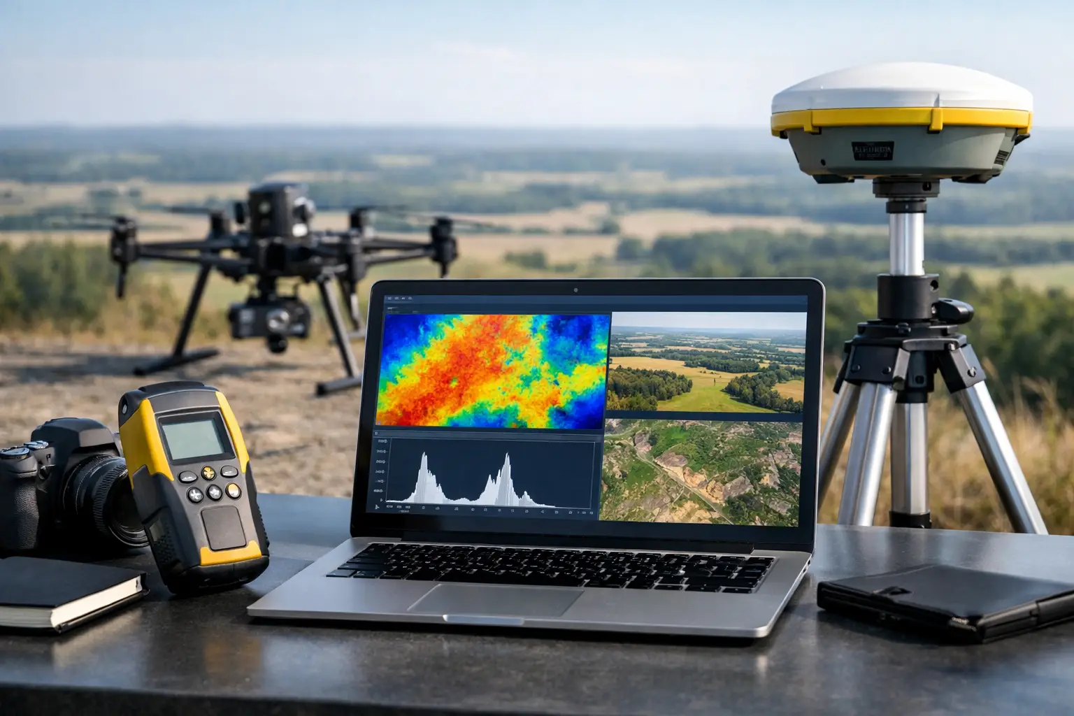
Navigation and elevation data must also be integrated tightly. Conductivity responses are influenced by sensor height above ground, making calibrated terrain models and accurate positioning essential. Where topography is complex, LiDAR or high-quality photogrammetric elevation data can materially improve terrain correction and spatial confidence.
QA/QC Is the Difference Between Data and Evidence
For enterprise buyers, QA/QC should be visible in the deliverables, not implied in a proposal. The acquisition record should show system calibration, compensation performance where applicable, sensor health checks, flight logs, line-level statistics, positional validation, altitude compliance, repeat-line comparisons, and documented treatment of anomalous conditions.
Repeatability is particularly valuable. When repeat traverses show consistent responses over the same ground, confidence increases that the anomaly is geological rather than operational. Tie-line analysis helps identify line-to-line leveling issues. Independent checks against known geology, boreholes, ground EM, resistivity, magnetic data, or radiometrics provide further control.
An airborne electromagnetics review should ask for uncertainty products, not only interpreted surfaces. These may include data-quality masks, depth-of-investigation estimates, inversion sensitivity information, residual statistics, and areas where cultural interference or terrain effects limit confidence. Decision-makers need to know both where the model is strong and where it is provisional.
Interpretation Must Be Cross-Validated
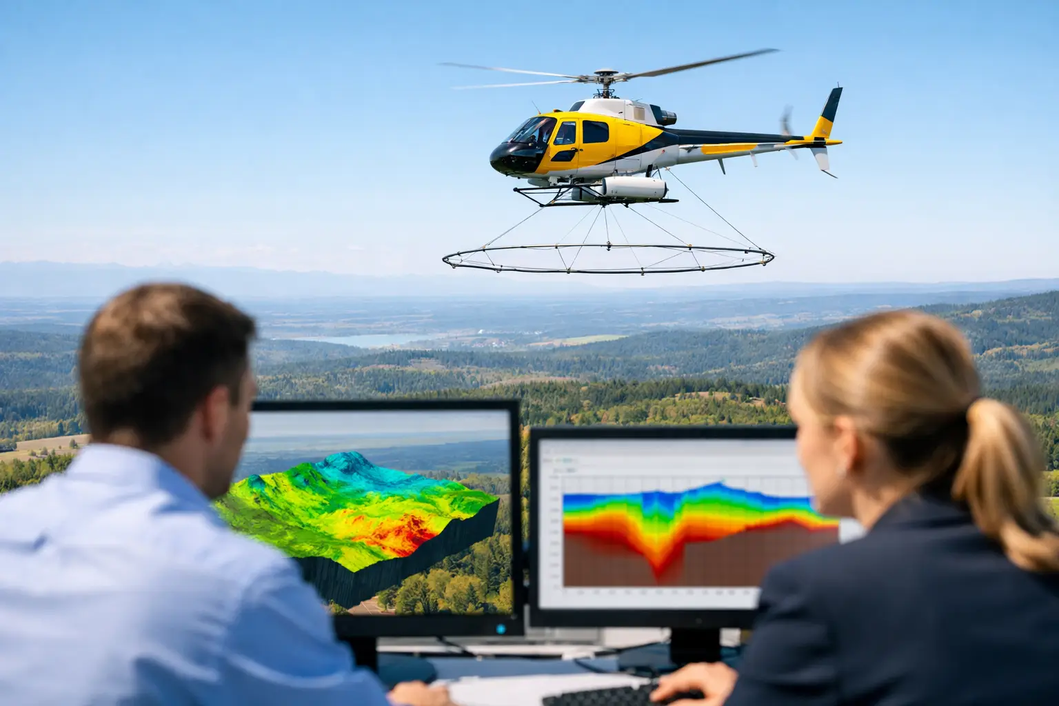
Conductivity models are useful because they convert complex measurements into a spatial representation that technical teams can evaluate. Yet an inversion is a model constrained by assumptions, including layer geometry, regularization, noise estimates, and starting conditions. It is not a direct image of the subsurface.
The strongest interpretation combines airborne EM with complementary data. Aeromagnetics can clarify structure and lithological boundaries. Radiometrics can support near-surface geological mapping. LiDAR can reveal drainage, lineaments, and terrain controls. Existing boreholes, pump-test records, geochemical samples, and geological mapping provide the ground truth needed to distinguish a promising conductive target from conductive clay, saline water, or cultural interference.
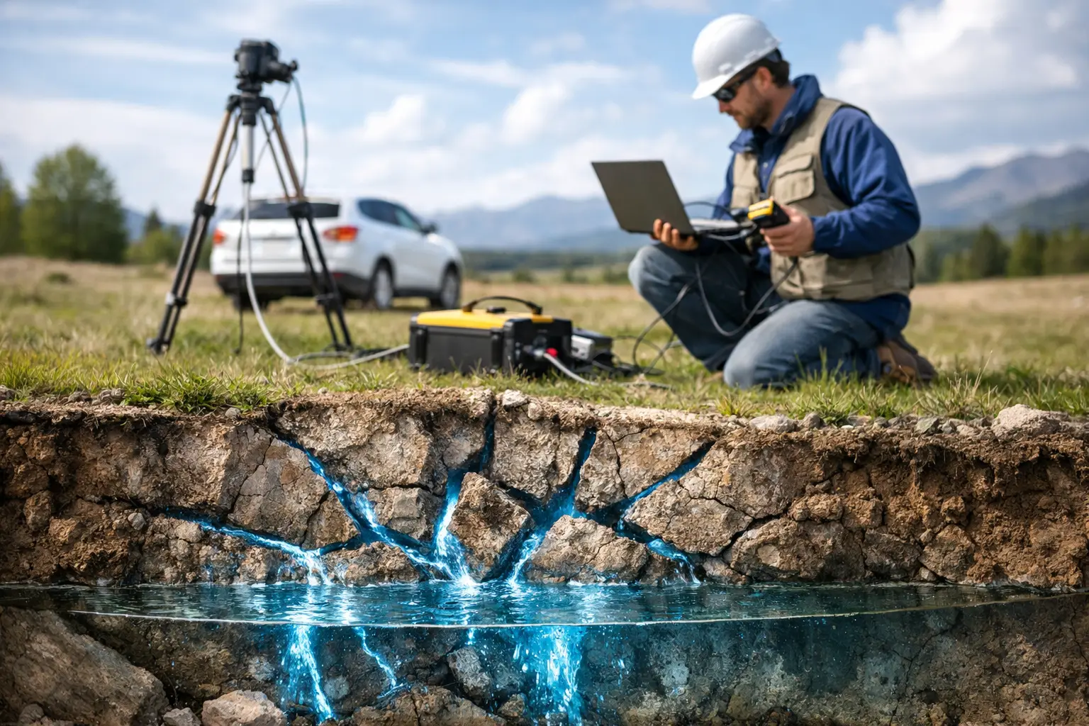
For groundwater programs, the output should connect conductivity patterns to hydrogeological questions: aquifer extent, potential salinity interfaces, recharge pathways, structural controls, and drilling uncertainty. For mineral exploration, it should rank conductive features by geometry, geological setting, magnetic association, and drillability rather than treating every anomaly as a target. For infrastructure, it should identify zones requiring follow-up investigation before design proceeds.
What a Decision-Grade Deliverable Looks Like
A decision-grade airborne EM package provides more than grids and images. It includes the survey specification, flight coverage, calibration and QA/QC evidence, processed datasets, inversion outputs, mapped anomalies, confidence classifications, interpretation methodology, and recommended verification actions. The reporting should make clear which conclusions are measured, which are modeled, and which remain interpretive.
This level of traceability gives project owners a basis for technical assurance. It also allows downstream consultants, regulators, and internal review teams to audit how a target, groundwater zone, or risk area was defined.
Air Solutions applies this operating discipline by integrating airborne EM with calibrated navigation, terrain intelligence, multi-sensor context, and sector-specific interpretation. The objective is not simply to collect more data. It is to reduce the uncertainty that delays drilling, design, permitting, and investment decisions.
The practical next step is to define the decision threshold before mobilization: what feature must be resolved, what uncertainty is acceptable, and what independent evidence will confirm the result. That discipline turns airborne electromagnetics from an attractive map product into evidence that project teams can act on.