A poorly scoped magnetic survey usually fails long before the aircraft or drone leaves the ground. The issue is rarely sensor sensitivity alone. It is more often a mismatch between geological objective, line design, terrain constraints, noise environment, and the decision the dataset is supposed to support. That is why knowing how to scope aeromagnetic campaigns is less about ordering flight hours and more about defining a technically defensible acquisition program from the outset.
For exploration teams, infrastructure planners, and public-sector buyers, scope errors are expensive in predictable ways. The line spacing is too coarse to resolve the target. Terrain clearance is too high to preserve anomaly contrast. Tie-line geometry is weak, so leveling becomes unstable. Or the campaign collects magnetics in isolation when the decision actually depends on fused interpretation with radiometrics, LiDAR, or surface mapping. A disciplined scope prevents those failures and produces data that can stand up to technical review, procurement scrutiny, and downstream investment decisions.
How to scope aeromagnetic campaigns from the decision backward
The right starting point is not aircraft availability or budget per square kilometer. It is the business and technical decision the survey must inform. A regional mineral systems screening program, a brownfields structural reinterpretation, a groundwater basement mapping exercise, and a linear infrastructure corridor assessment can all use aeromagnetics, but they should not be scoped the same way.
In practice, scoping begins with target definition. If the objective is to map broad lithologic contacts or regional structural grain, wider line spacing and higher terrain clearance may be acceptable. If the objective is to resolve narrow dikes, fault offsets, shallow basement relief, or subtle alteration-related magnetic destruction, the survey needs tighter line spacing, lower sensor height, and stronger positional control. The resolution requirement has to be explicit because every downstream choice follows from it.
The second question is what the client needs at deliverable stage. Some projects only require processed total magnetic intensity grids and standard derivatives. Others require leveled data integrated with DEMs, geology, geochemistry, or electromagnetic products to support prospect ranking or engineering routing. That difference matters. A campaign scoped only around acquisition efficiency may underperform if the final requirement is interpreted geospatial intelligence rather than raw or minimally processed sensor output.
Survey geometry controls the value of the dataset
Line spacing, tie-line spacing, line orientation, and terrain clearance are the core design variables. They should be chosen against expected target dimensions and strike direction, not by copying a previous project from a different basin or deposit style.
Main traverse lines should generally cross the dominant geological strike as close to perpendicular as practical. That maximizes anomaly definition and improves the interpretability of contacts, structures, and magnetic gradients. If strike is uncertain or structurally complex, there may be a case for a pilot block before committing to full production geometry. In highly folded or multi-directional terrains, the trade-off is straightforward: one orientation may optimize one structural family while degrading another.
Line spacing is where commercial pressure often conflicts with technical need. Wider spacing lowers acquisition cost, but it also lowers confidence in target detection and interpolation quality. If the expected source width is small relative to the line interval, the anomaly may be aliased, offset, or missed entirely. For early regional work, that may be acceptable. For infill exploration or corridor design near high-consequence assets, it usually is not.
Terrain clearance is equally sensitive. Magnetic signal amplitude decays quickly with distance from source, so flying lower generally improves resolution. But lower altitude increases operational complexity, particularly in rugged ground, near infrastructure, or in hot, turbulent desert conditions. The right answer is not simply to fly as low as possible. It is to establish a safe and stable terrain-following envelope that preserves data quality while controlling flight risk and altitude variation.
Tie-lines are often undervalued at scoping stage because they do not generate the same visual density as traverse lines. That is a mistake. Properly spaced tie-lines are essential for leveling, drift control, and auditability. If the campaign is expected to support investment-grade interpretation, tie-line design should be treated as a QA/QC requirement, not a secondary cost item.
Platform and sensor choices depend on operating conditions
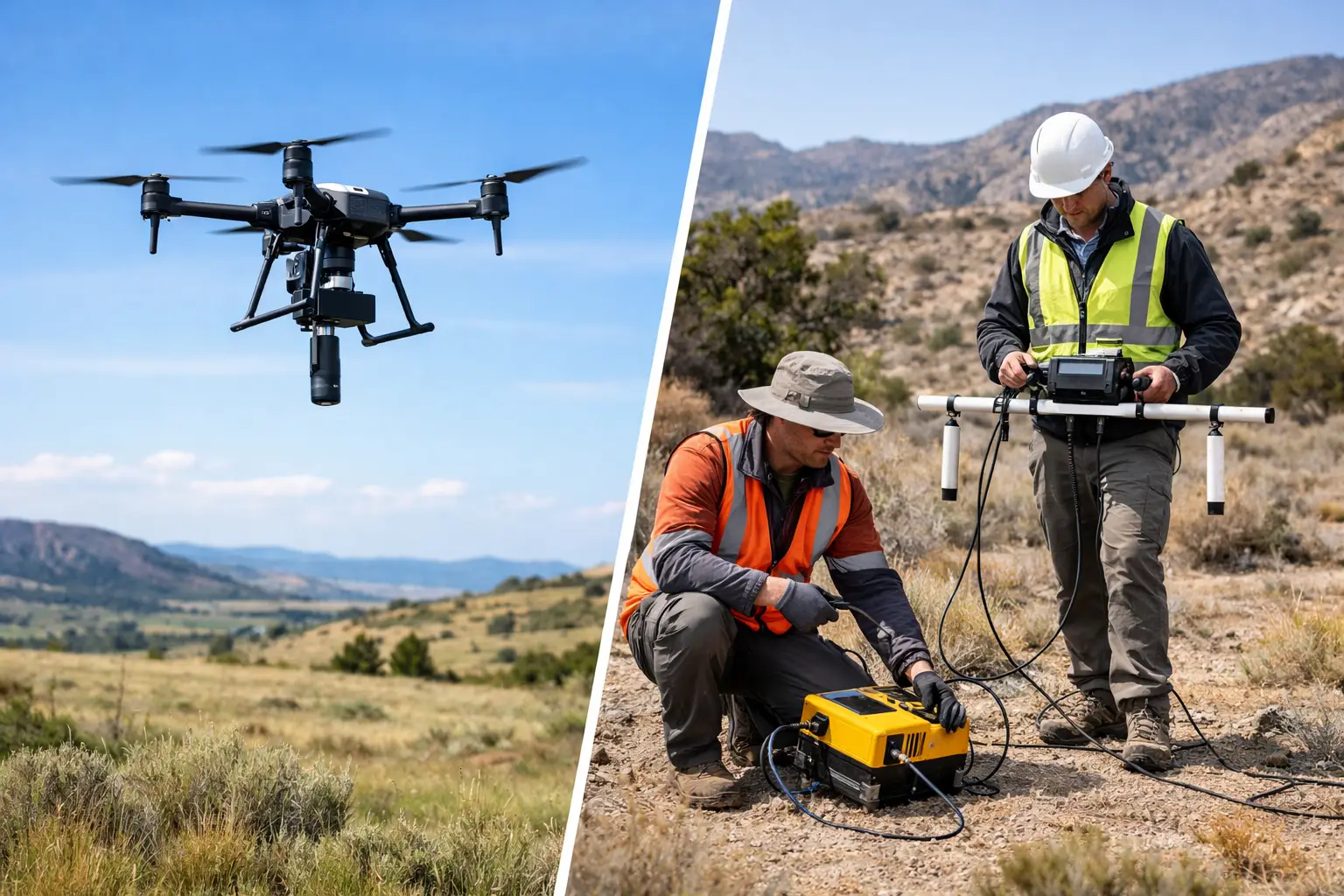
The scoping conversation also has to address platform suitability. Manned aircraft still have a place in very large regional programs, but drone-based aeromagnetic systems have changed the economics and execution model for many surveys, especially where rapid mobilization, low-altitude flying, and flexible block access matter.
That said, platform selection should be evidence-based. The questions are operational, not promotional. What area must be covered in what timeframe? What are the ambient temperatures, winds, and dust conditions? Is the terrain open desert, escarpment, industrial corridor, or mixed-access concession? Are there airspace, security, or line-of-sight constraints? Can the platform maintain the required terrain clearance and navigation repeatability across the full block?
Sensor integration matters as much as aircraft type. Magnetometer placement, magnetic cleanliness of the platform, compensation strategy, GNSS quality, and heading behavior all affect data usability. A high-spec sensor on a poorly characterized platform will not produce decision-grade outputs. The procurement team may see two bids for "aeromagnetics," but the technical evaluator should be comparing calibration discipline, navigation control, noise profile, and the maturity of the processing workflow.
QA/QC should be scoped before mobilization
Strong aeromagnetic campaigns are designed around auditable quality control from day one. That includes base-station strategy, diurnal monitoring, pre-flight and post-flight checks, line repeatability criteria, altitude compliance thresholds, and acceptance limits for noise and heading effects.
This is where many scopes remain too vague. They specify survey area and line kilometers but do not define the QC framework that determines whether the data can actually be used with confidence. A disciplined scope should state how flight-path deviations are handled, what reflights will be triggered by, how leveling and micro-leveling will be validated, and what metadata package will accompany final delivery.
For enterprise and government buyers, traceability is not a nice-to-have. If the outputs will feed resource estimates, corridor selection, hydrogeologic targeting, or public infrastructure planning, the campaign must be defensible months later under technical review. Fully auditable acquisition logs, calibration records, processing history, and interpretation assumptions reduce that risk materially.
Environmental and regulatory constraints are part of the scope
Aeromagnetic programs often operate in places where heat, dust, remoteness, and access control shape the actual productivity more than nominal flight speed. Scoping should therefore include realistic assumptions about weather windows, field logistics, battery or fuel cycles, crew rotation, permissions, and site safety controls.
In desert environments, thermal conditions can narrow the effective flying window and affect platform performance. Industrial areas introduce additional constraints from powerlines, communications infrastructure, and restricted zones. Government and strategic projects may require tighter security protocols and more structured reporting chains. None of these issues are secondary. They influence schedule certainty, sortie planning, and cost exposure.
This is also where bundled sensing can change the commercial outcome. If a project requires terrain modeling, corridor mapping, or surface-condition intelligence alongside magnetics, combining acquisition streams may produce better value than staging separate campaigns. The advantage is not only cost. It is also alignment. Co-registered datasets reduce positional mismatch and improve interpretation when decisions depend on integrated subsurface and surface context.
Budgeting aeromagnetics without undercutting the objective
Cost control matters, but blunt cost reduction usually shows up later as reflight, reinterpretation delay, or inconclusive targeting. The better approach is to classify the survey as regional screening, target refinement, engineering support, or monitoring, then fund the minimum geometry and QA/QC standard required for that class.
A pilot phase is often the most efficient way to reduce uncertainty. It can test line orientation, noise conditions, terrain-following behavior, and processing assumptions on a representative block before full deployment. That approach is especially useful where prior magnetic coverage is sparse, geological strike is uncertain, or the project sits in a magnetically noisy industrial setting.
For technically mature buyers, the key budgeting question is simple: what is the cost of an inadequate dataset relative to the value of the decision it informs? If a tighter survey avoids drilling in the wrong structural position, misrouting a corridor, or missing a basement control on groundwater occurrence, the extra acquisition cost is usually small compared with the downstream exposure.
What a well-scoped campaign looks like
A sound scope reads like an execution plan, not a generic request for aerial data. It defines the geological or engineering objective, expected target scale, required resolution, preferred line geometry, altitude envelope, QA/QC thresholds, operating constraints, processing sequence, and deliverables. It also states how the data will be interpreted and who will use the outputs.
That level of clarity benefits both client and contractor. It reduces ambiguity at tender stage, makes bids more comparable, and limits the gap between advertised capability and field performance. For a specialist operator such as Air Solutions, it also creates the conditions to deploy the right platform, sensor stack, and processing workflow without compromising auditability or schedule discipline.
The best aeromagnetic campaigns are not the cheapest or the densest on paper. They are the ones scoped tightly enough that every flight line serves a defined decision. If the survey brief can explain what must be resolved, what tolerance is acceptable, and how the outputs will be defended, the project is already on stronger ground before the first sortie is cleared.