الموقع
منطقة تبوك
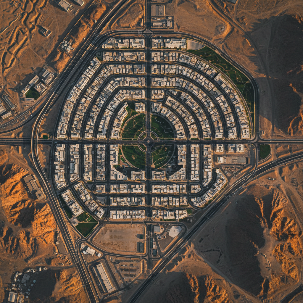
نيوم، السعودية
العميل
مشروع نيوم العملاق
رؤية 2030
الطرق
ليدار + فوتوغرامتري
التقاط جاهز لـ BIM
السنة
2024
خط أساس هندسي
01 · التحدي
تضاريس جبلية، جدول زمني عملاق
02 · المنهج
التقاط ليدار + فوتوغرامتري
03 · النتيجة
خط أساس هندسي جاهز لـ BIM
تطلب برنامج تروجينا في نيوم بيانات تضاريس بدرجة هندسية على كتل جبلية وعرة كان المسح الأرضي التقليدي سيستغرق أشهراً عديدة لتسليمها. كان ضغط الجدول شديداً — كل أسبوع من تأخير المسح يُترجم إلى إعادة عمل هندسي لاحق.
نشرنا منصات ليدار + فوتوغرامتري معايرة مع PPK GNSS، مدعومة بشبكة GCP استراتيجية وضبط جودة ميداني مكثف. عُولجت سحب النقاط والفسيفساء بالتوازي مع الاكتساب، مما ضغط خط الأنابيب النموذجي إلى أيام.
هبطت المخرجات بصيغ يحددها العميل — كنتورات DXF/Shapefile، سحب نقاط LAS، فسيفساء GeoTIFF — بدقة مطلقة سنتيمترية تم التحقق منها مقابل نقاط الفحص. استهلك فريق الهندسة المخرجات مباشرة في خط أنابيب تصميم رؤية 2030.
منتجات بيانات مسلَّمة
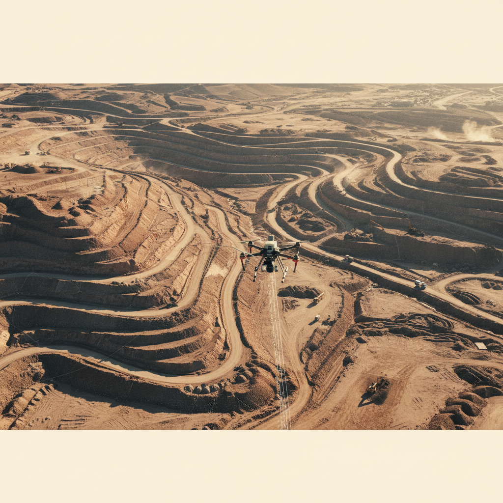
التقاط التضاريس الجبلية
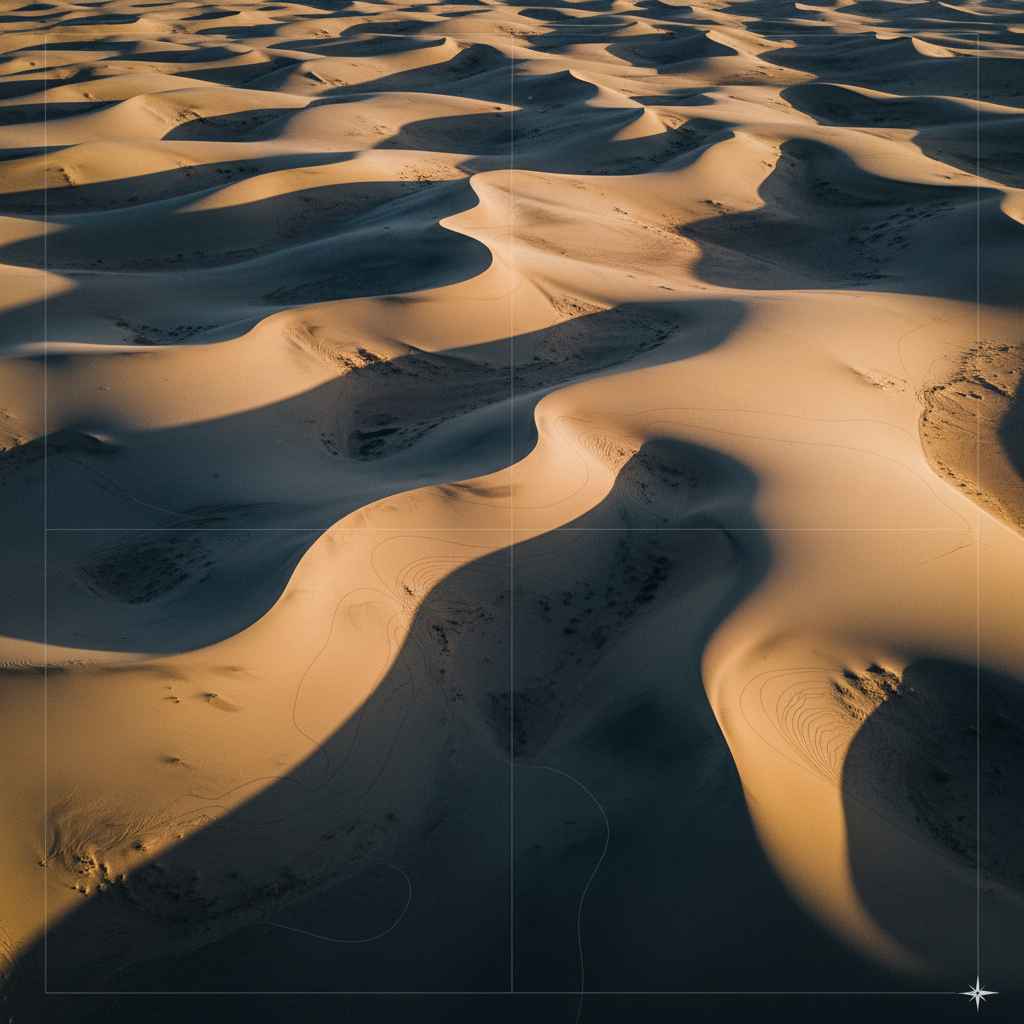
نموذج تضاريس الأرض العارية
المشروع التالي
حملة L&T للهيدرولوجيا ←أنشئ خط أساس مشروعك العملاق.
شارك موقعك ومواصفات الدقة. نرد بخطة الالتقاط والجدول الزمني خلال 48 ساعة.